
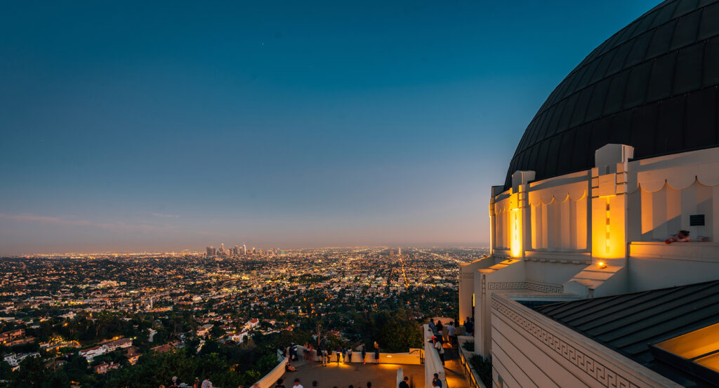
Why Trancas Canyon Road matters.
Trancas Canyon Road is a secluded corridor where West Malibu's coastal character meets a deeply cut Santa Monica Mountains watershed, mid-century hillside settlement and a narrow route climbing from the Pacific into chaparral-covered canyon country.
Running through West Malibu between Broad Beach and the Santa Monica Mountains, the canyon corridor follows Trancas Creek north from Pacific Coast Highway before climbing beyond Malibu West toward the upper canyon and Trancas Highlands. Lower stretches occupy a comparatively broad canyon floor, where mature sycamores and oaks rise among residential streets beneath ridges that sharply enclose the drainage on both sides. Traveling inland brings increasingly steep terrain as the road narrows, bends with the canyon and passes from compact mid-century development into larger hillside parcels distributed across slopes and tributary ravines. Elevation rises from near sea level around Malibu West toward 800 feet in Trancas Highlands, progressively replacing coastal openness with mountain walls, chaparral and elevated views back toward the Pacific. The result is a corridor whose creek-side alignment, dramatic elevation change, mature canyon vegetation and transition from coastal settlement to sparse mountain development compress the geographic character of western Malibu into a single ascending road.
What defines Trancas Canyon Road.
Trancas Canyon Road is best known for carrying the principal route into a canyon whose human history predates modern Malibu by centuries. Trancas Canyon supported an important Chumash settlement, with a burial ground occupying part of the lower canyon and Indigenous artifacts surviving elsewhere in the area after later development altered much of the original site. Spanish and Mexican rule subsequently incorporated the surrounding coast into Rancho Topanga Malibu Sequit, a 13,330-acre grant stretching across a vast section of the Santa Monica Mountains and shoreline. Frederick and May Rindge acquired the property in 1892, renamed it Rancho Malibu and sought to preserve the estate from through roads and outside development. Their ranch used extensive western Malibu acreage for cattle, and land west of Trancas Canyon Road remained associated with Rindge grazing long after the canyon had entered the rancho's geography. Access changed decisively after the coastal highway opened across the former estate during the late 1920s, breaking the isolation that had helped keep Zuma and Trancas Canyons sparsely developed. The canyon road subsequently became the inland branch from that coastal transportation line, preserving the mountain drainage as the organizing feature of settlement even as the surrounding ranchland entered a new development era.
Malibu West brought the corridor its most concentrated twentieth-century transformation during the early 1960s. The subdivision created 238 residences along private streets and cul-de-sacs on the western ridge and lower reaches of Trancas Canyon, with ranch and post-and-beam houses carrying the architectural language of Southern California mid-century development into the mountain setting. Large-scale grading during 1963 and 1964 created building pads on steep terrain, and Trancas Creek was channelized in concrete through the developed canyon floor for flood control. The road remained the sole connection between Malibu West and Pacific Coast Highway, giving a single canyon route unusual importance within a subdivision surrounded by steep slopes and wildland. Development farther uphill followed a different pattern: Upper Trancas Canyon Road retained larger parcels reaching ten acres, equestrian properties and Kincaid Ranch, among Malibu's original homesteads, as the road became narrower and steeper. Trancas Highlands developed west of the upper road as 41 lots ranging from one to 17 acres, preserving a far lower density than the subdivision below. The corridor carries two contrasting chapters of postwar Malibu within the same canyon, moving from concentrated mid-century subdivision into large-parcel mountain settlement without losing the creek and surrounding ridges that dictated its original course.
How Trancas Canyon Road fits.
Trancas Canyon Road works as the anchor for a western Malibu sequence connecting a volcanic promontory used by centuries of Pacific navigators with a vast public beach created from former private ranch property and the shipping wharf that supported Malibu's most powerful landholding family.
Begin at Point Dume State Beach and Natural Preserve, where the headland formed an unmistakable maritime marker long before modern Malibu developed around it. Juan Rodríguez Cabrillo used the point as a navigational reference during his 1542 expedition, and British captain George Vancouver named it Point Dume on November 24, 1793 for Father Francisco Dumetz of Mission San Buenaventura. The United States Army later used the headland for anti-aircraft artillery training during World War II. California acquired Point Dume in 1979, and 34 acres of the 63-acre state property received Natural Preserve status in 1992, protecting coastal bluff scrub, volcanic cliffs and intertidal habitat at the western terminus of Santa Monica Bay. Continue to Zuma Beach, whose conversion into public shoreline followed the financial collapse of the Rindge land empire. Marblehead Land Company defaulted on Los Angeles County taxes associated with Zuma property in 1941 as the former ranch was being broken apart, and the county subsequently acquired the beach from a private land company in 1945 for $494,000. The acquisition secured 105 acres extending across nearly two miles of coast, replacing private development with one of Los Angeles County's largest public beaches. A $9.4 million improvement campaign completed in 1996 added Mission-style entrance structures, twelve rebuilt parking areas and a pedestrian promenade, extending the county's investment in the immense shoreline property. Conclude at Malibu Pier, built in 1905 to serve Frederick Hastings Rindge's working Malibu Rancho. Hides, grain and fruit left from the wharf as supplies arrived for the isolated estate, and the Rindge private railroad terminated nearby to transfer freight along the coast. Public fishing began there in 1934, and bondholders extended the structure to its present 780-foot length after the Marblehead Land Company bankruptcy in 1936. The pier became a United States Coast Guard daylight lookout station during World War II before a severe 1943 to 1944 winter storm destroyed its seaward end. William Huber later purchased the surviving structure for $50,000, reconstructed the damaged section and added the twin buildings at its terminus. The progression moves from a headland guiding maritime travel through the conversion of private ranch shoreline into a major public beach and culminates in the working wharf that connected the Rindge estate with the outside world, tracing exploration, coastal access and commerce across western Malibu.
Where your story begins.
Foresyte Travel reveals places that feel extraordinary long before you arrive.
Enjoy editorial crafted for luxury travelers.
Foresyte may earn a commission when you book.





































































































