Why you should experience Kenneth Hahn State Recreation Area in Los Angeles, California.
Kenneth Hahn State Recreation Area is a hillside park where layered walking trails, fishing lakes, and panoramic city views stretch across 400 acres above the Baldwin Hills.
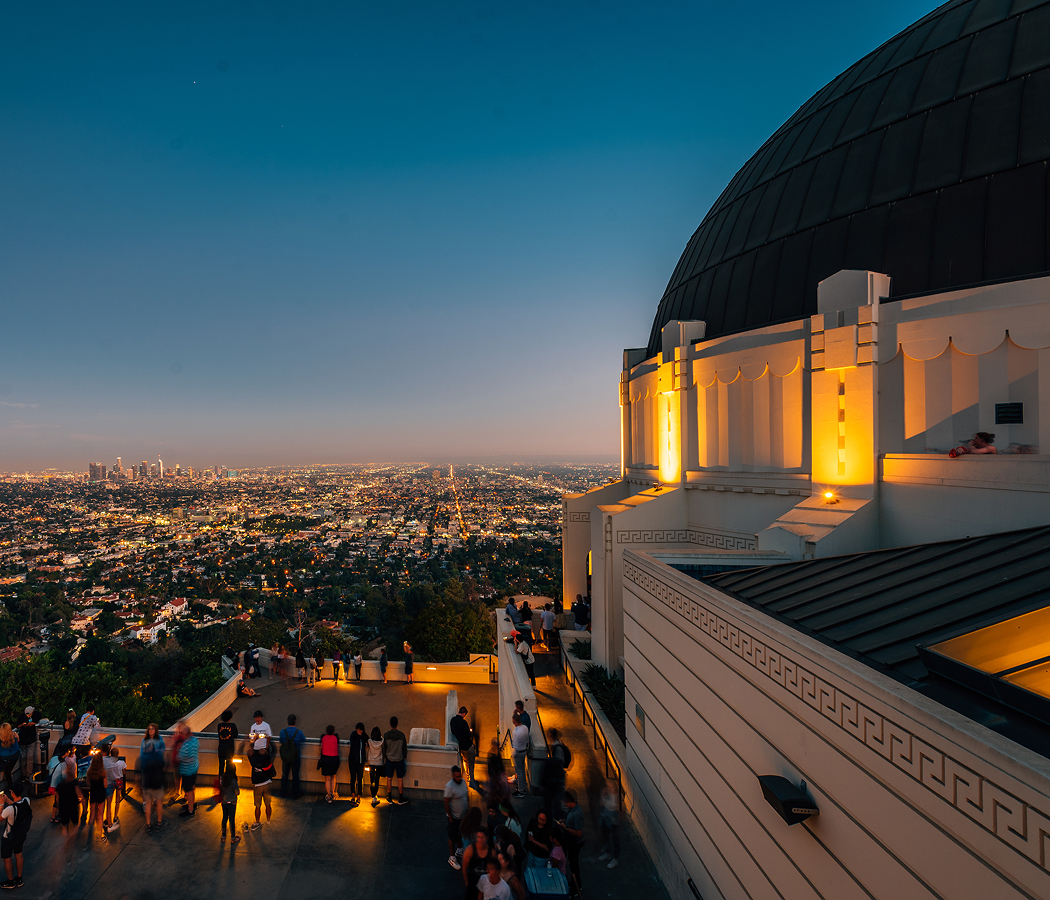
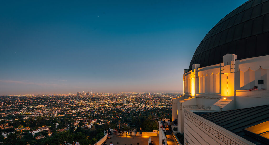
Located along La Cienega Boulevard between Stocker Street and Obama Boulevard, just south of Culver City and east of the 405 Freeway, the park occupies elevated terrain overlooking Downtown, the Hollywood Hills, and, on clear days, the Pacific. Entry roads wind upward to parking lots near picnic grounds and scenic overlooks, while paved and dirt trails branch outward across rolling grasslands and landscaped gardens. The layout moves vertically, with multiple vantage points revealing different sections of the metropolitan basin. Los Angeles, California is defined by its horizontal sprawl, but Kenneth Hahn State Recreation Area lifts you above it. The terrain is engineered for perspective.
What you should know about Kenneth Hahn State Recreation Area.
Kenneth Hahn State Recreation Area sits atop land historically used for oil extraction before being reclaimed and converted into public green space in the late 20th century.
The park includes the Japanese Garden and multiple man-made lakes stocked for recreational fishing, along with fitness staircases and open fields used for community events. Its elevation makes it one of the most accessible high-ground viewpoints within Central Los Angeles. Environmental remediation and landscape engineering stabilized the hillsides and introduced drought-tolerant plantings to reflect regional ecology. What many first-time visitors do not immediately register is how expansive the sightlines are once you reach the upper loops. Downtown's skyline, Westside neighborhoods, and distant mountains align in a single sweep. The park functions as both recreational terrain and observation deck.
How to fold Kenneth Hahn State Recreation Area into your trip.
Kenneth Hahn State Recreation Area works best as a morning hike or late-afternoon overlook stop.
Enter from La Cienega Boulevard and drive upward to higher trailheads for immediate skyline views before exploring the looping paths. Bring water and allow time to move between elevation tiers rather than staying confined to one level. Pair the visit with nearby stops in Culver City or Baldwin Hills to maintain geographic continuity. When you descend back into street level in Los Angeles, California, the city grid feels flatter than before. Inside the park was elevated terrain reshaped into a multi-level vantage point over the urban basin.
Where your story begins.
Start the planning journey with Foresyte Travel.
Experience immersive stories crafted for luxury travelers.