Why Summerlin South matters.
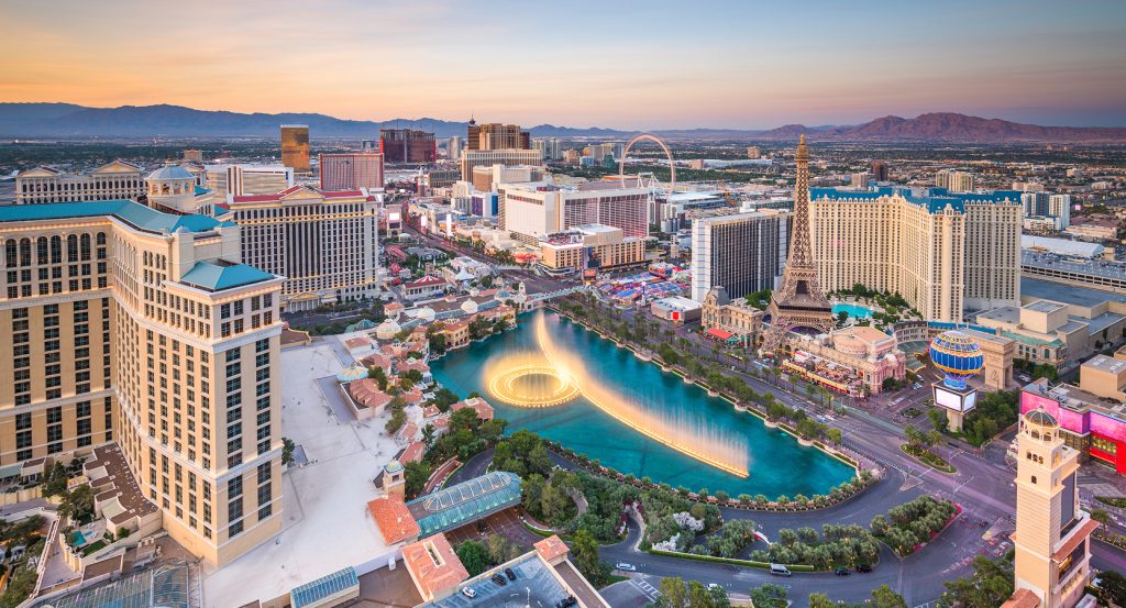
Summerlin South is a desert-edge enclave where the Las Vegas Valley's western expansion meets Howard Hughes's vast landholding, carefully sequenced village development and an urban boundary drawn directly against protected Mojave terrain.
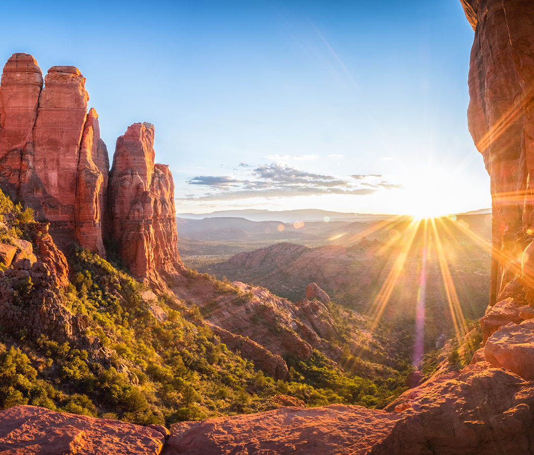
Positioned between Summerlin, Spring Valley, and the Red Rock foothills, the community occupies the western valley between Charleston Boulevard, Russell Road and Hualapai Way, with Town Center Drive and the 215 Beltway crossing its interior and the Spring Mountains rising immediately beyond its western edge. Elevation increases toward the west, creating long views across the valley and placing neighborhoods progressively closer to exposed ridgelines and undeveloped desert. Distinct residential villages divide the community into smaller precincts whose streets respond to washes, slopes and the increasingly rugged ground near the mountains. Major north-south routes concentrate movement toward the Beltway, leaving the westernmost residential areas against an abrupt transition from developed parcels to open Mojave landscape. The result is a master-planned community whose geography makes the boundary between metropolitan Las Vegas and protected desert unusually immediate.
What defines Summerlin South.
Summerlin South is best known for occupying part of the enormous western-valley property Howard Hughes acquired in 1952 for $3 per acre as a possible relocation site for his California business interests. Hughes purchased 30,000 acres, yet the industrial complex envisioned for the property never materialized and the land remained largely dormant for more than three decades. Summa Corporation later recognized its development potential and announced Summerlin in 1988, naming the community for Hughes's paternal grandmother, Jean Amelia Summerlin. That same year, a land exchange facilitated by The Nature Conservancy transferred more than 5,000 environmentally sensitive acres from Summa to the Bureau of Land Management in return for 3,000 acres more suitable for construction. Development of the larger Summerlin community began in 1990, and the first residents arrived the following year as the western valley entered a sustained period of residential growth. The territory originally known as Husite became the Summerlin South planning area, and Clark County approved its development in October 1994 after three years of preparation. A formal Summerlin South Land Use and Development Guide followed in June 1995. Its development eventually incorporated substantial portions of the southern Summerlin villages, extending the master plan across terrain increasingly shaped by foothills, desert washes and higher elevations. A second federal land exchange in 2002 transferred another 1,100 acres along Summerlin's western border into protected land and returned development acreage along the southern edge, further defining the physical relationship between construction and conservation. The broader Summerlin plan reached 22,500 acres, turning Hughes's dormant mid-century acquisition into one of the largest master-planned developments in the American Southwest. Summerlin South represents a particularly consequential phase of that history, where the community's expansion encountered the geographical limit imposed by the mountains and protected desert.
Village development translated that enormous landholding into a sequence of districts with markedly different relationships to elevation, golf and the desert edge. The Willows began development in 1994 across 731 acres, combining several residential districts around a system of landscaped public grounds. Red Rock Country Club followed in 1998 on 738 acres purchased from Howard Hughes by Sunrise Colony Company, with 1,000 homes arranged around two Arnold Palmer-designed golf courses. The Gardens began in 2000 across 410 acres, establishing another residential district within the southern portion of the master plan. The same year brought construction of The Ridges, a 793-acre hillside village occupying some of Summerlin's highest residential ground. Jack Nicklaus designed Bear's Best Las Vegas through replications of holes drawn from his courses across the American West, and the course opened there in 2001. The Ridges ultimately developed nine custom-home neighborhoods, with portions rising to elevations 4,000 feet and parcels reaching the protected western boundary. The 2000s carried development farther south, and The Cliffs began formal construction in 2015 across slightly more than 418 acres as Summerlin's southernmost village. The Summit began the same year as a 555-acre collaboration between Howard Hughes and Discovery Land Company centered on a Tom Fazio-designed private golf course. These successive villages demonstrate how Summerlin South advanced across increasingly complex terrain through individually planned districts, turning differences in elevation, topography and proximity to undeveloped desert into the organizing features of its southern and western growth.
How Summerlin South fits.
Summerlin South works as the metropolitan starting point for an outing connecting a spring-fed ranch shaped by successive frontier and celebrity owners, a mining settlement whose wartime boom briefly rivaled Las Vegas and a schoolhouse that has remained in educational use since 1913.
Begin at Spring Mountain Ranch State Park, where reliable water beneath the mountains supported Indigenous communities before drawing trappers, travelers and settlers to a 528-acre oasis. James Wilson and George Anderson claimed the property in 1876, and later ownership brought radio performer Chester Lauck and German actress Vera Krupp, whose 33.6-carat diamond was stolen from the ranch in 1959 and recovered six weeks later. Howard Hughes purchased the property from Krupp in 1967 for a reputed $625,000, although his employees made greater use of the retreat than Hughes himself. Continue to Pioneer Saloon, built in Goodsprings by businessman and Clark County commissioner George Fayle in 1913 as mining accelerated around the Yellow Pine district. A Brunswick mahogany bar and Sears, Roebuck and Company stamped-metal walls survive from its early years, including bullet holes connected with the 1915 killing of Paul Coski during a card game. Goodsprings reached 800 residents during its mining boom, and production from 1915 through 1925 generated $25 million in ore. Conclude at Goodsprings Schoolhouse, whose predecessor began in a tent in 1907 before the permanent school opened in September 1913. Its rooftop bell and basic structural form survived successive alterations, and the building remains the oldest active school in Clark County. The progression moves from a mountain oasis shaped by settlement and high-profile ownership through a mining saloon preserving the physical residue of Goodsprings at its economic peak and culminates in a schoolhouse whose uninterrupted educational role outlasted the boomtown surrounding it.
Where your story begins.
Foresyte Travel reveals places that feel extraordinary long before you arrive.
Enjoy editorial crafted for luxury travelers.
Foresyte may earn a commission when you book.