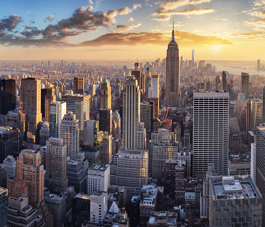
Why you should experience Harlem River in New York, NY.
Harlem River is a historic Upper Manhattan waterway where maritime heritage, engineering achievement, and urban connectivity converge along one of New York City's most strategically important rivers.
Running between Manhattan and the Bronx from the East River to the Hudson River, this vital tidal strait connects waterfront parks, historic bridges, transportation corridors, recreational facilities, industrial landmarks, and residential communities that have shaped New York life for centuries. Riverfront promenades, navigable channels, iconic bridges, public parks, and celebrated urban vistas create an environment defined by movement and transformation. The waterway evolved from a natural geographic boundary into a critical transportation and commercial corridor that helped facilitate the growth of both Manhattan and the Bronx. Engineers, shipbuilders, merchants, planners, industrialists, and residents helped establish a legacy that continues to influence the city's infrastructure and development. To the west, Inwood extends naturally from the Harlem River through a collection of historic landscapes, cultural landmarks, and waterfront destinations that reinforce the river's enduring significance. The result is a waterway defined by connectivity, innovation, and enduring metropolitan importance.
What you should know about Harlem River.
Harlem River is best known for being transformed into a fully navigable shipping channel through the construction of the Harlem River Ship Canal in 1895, permanently turning Manhattan into an island.
Prior to the canal's completion, the northern end of Manhattan remained physically connected to the mainland by a narrow land bridge known as Marble Hill. The canal dramatically improved maritime navigation between the Hudson River and Long Island Sound while reshaping the geography of New York City itself. Although Marble Hill later became physically attached to the Bronx through landfill projects, it legally remained part of Manhattan, creating one of the city's most fascinating geographic anomalies. The engineering project stands as one of the most consequential infrastructure undertakings in New York history. Few urban waterways in the world can claim to have permanently altered the physical identity of an entire borough.
How to fold Harlem River into your trip.
Harlem River is best experienced as an exploration of New York's waterways, engineering heritage, and waterfront landscapes.
Begin at Highbridge Park, where the river's defining relationship with infrastructure, recreation, and public life immediately comes into focus. Continue toward High Bridge, whose historic significance reveals the engineering ambition that helped shape the surrounding corridor across generations. From there, make your way to Inwood Hill Park, where one of Manhattan's most remarkable natural landscapes provides broader perspective on the geography, ecology, and urban evolution that continue to define the Harlem River today. Along the route, you'll encounter historic bridges, waterfront parks, scenic overlooks, engineering landmarks, recreational facilities, public gathering spaces, and celebrated river vistas that showcase the remarkable depth of the corridor. The progression moves naturally from Highbridge Park to High Bridge to Inwood Hill Park, revealing how engineering, navigation, and public investment combined to shape one of New York's most consequential waterways. Harlem River remains one of the city's most rewarding destinations, preserving a distinctive balance between historical significance, geographic importance, and contemporary urban vitality.
Where your story begins.
Start the planning journey with Foresyte Travel.
Experience immersive stories crafted for luxury travelers.