
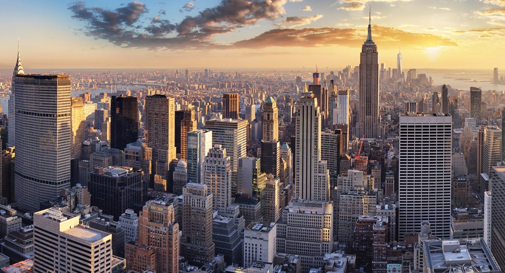
Why you should experience Keap Street in New York, NY.
Keap Street is a historic corridor where Williamsburg's industrial heritage, immigrant history, architectural evolution, and enduring creative energy shape one of northern Brooklyn's defining streets.
Running through Williamsburg between East Williamsburg and South Williamsburg, the corridor connects historic factory buildings, neighborhood businesses, schools, residential blocks, houses of worship, and community institutions that collectively reflect more than a century of carefully guided urban development. Brick manufacturing buildings, converted industrial lofts, established commercial frontages, prewar apartment houses, and preserved streetscapes reveal a corridor shaped by manufacturing, immigration, rapid transit expansion, and sustained neighborhood reinvestment. Residents, entrepreneurs, artists, educators, craftspeople, and community organizations continue reinforcing Keap Street's importance while supporting housing, commerce, education, and civic life throughout Williamsburg. The result is an experience defined by industrial authenticity, architectural continuity, and the enduring character of one of Brooklyn's most historically significant urban communities.
What you should know about Keap Street.
Keap Street is best known for traversing Williamsburg's historic manufacturing district, where breweries, sugar refineries, metalworks, textile factories, and woodworking industries transformed the neighborhood into one of New York City's foremost industrial centers during the nineteenth and early twentieth centuries. Development accelerated after the opening of the nearby Williamsburg Bridge in 1903, strengthening connections between Brooklyn and Manhattan while encouraging dense residential construction, commercial investment, and factory expansion throughout the surrounding district. The corridor also benefited from the growth of the Brooklyn Eastern District Terminal, whose freight rail and waterfront operations supported manufacturing enterprises across the East River shoreline for much of the twentieth century. Today Keap Street reflects more than a century of planning that integrates industrial architecture, transportation infrastructure, residential development, and neighborhood commerce within one of Brooklyn's most historically significant urban corridors.
The corridor's cultural character is reinforced by nearby Domino Park, opened in 2018 on the former Domino Sugar Refinery site, preserving industrial artifacts while creating publicly accessible East River open space. Architectural preservation continues through the Domino Sugar Refinery, originally completed in 1882, whose adaptive reuse retains one of Brooklyn's most recognizable industrial landmarks within a rapidly evolving waterfront district. Nearby Williamsburg Bridge Plaza serves as a civic gateway linking surrounding neighborhoods with one of New York City's most important East River crossings while highlighting the engineering legacy that shaped Williamsburg's growth. Together, these industrial, architectural, and civic institutions reveal how Keap Street has evolved within a neighborhood where manufacturing heritage, preservation, and public investment continue reinforcing one another.
How to fold Keap Street into your trip.
Keap Street works as an exploration of Williamsburg's industrial heritage, East River waterfront, and architectural history.
Begin at Williamsburg Bridge Plaza, where the grand bridge approaches introduce the transportation infrastructure that transformed the surrounding neighborhood. Continue to Domino Park, whose preserved industrial features and waterfront landscapes deepen the corridor's connection to Williamsburg's manufacturing past. Conclude at the Domino Sugar Refinery, where one of Brooklyn's defining industrial landmarks provides a fitting finale connecting Keap Street's neighborhood character with the borough's enduring manufacturing legacy. The progression moves naturally from landmark engineering to revitalized waterfront space before concluding with preserved industrial architecture, revealing why Keap Street remains one of Brooklyn's defining corridors for understanding the relationship between transportation, manufacturing, and urban renewal.
Where your story begins.
Foresyte Travel reveals places that feel extraordinary long before you arrive.
Experience premium editorial crafted for luxury travelers.







































































































