
Why Roosevelt Island Tramway matters.
Roosevelt Island Tramway is an iconic aerial tramway where Roosevelt Island's unique geographic character, New York's transportation ingenuity, and breathtaking views of the East River create one of the most distinctive urban transit experiences in the world.
Set along 2nd Avenue near East 60th Street and just steps from Queensboro Plaza Entrance, this engineering achievement anchors one of Manhattan's most memorable transportation corridors, where infrastructure, innovation, and urban connectivity have shaped the relationship between Manhattan and Roosevelt Island for generations. Suspended cabins, sweeping skyline panoramas, river crossings, aerial perspectives, architectural landmarks, waterfront vistas, and dramatic city views create an atmosphere defined by movement and wonder. Since opening in 1976, the tramway has evolved from a practical transportation solution into one of New York's most beloved experiences, offering a perspective of the city unavailable anywhere else. The result is a destination defined by innovation, accessibility, and unforgettable views.
What defines Roosevelt Island Tramway.
Roosevelt Island Tramway is best known for being North America's first commuter aerial tramway and one of the few urban aerial transit systems of its kind in the world.
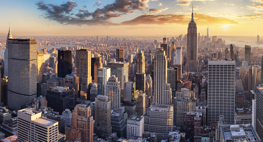
Constructed to provide reliable access between Manhattan and Roosevelt Island, the tramway quickly became an engineering landmark and an iconic part of New York's transportation network. Its suspended journey above the East River delivers extraordinary views of Midtown, the Queensboro Bridge, Roosevelt Island, and the surrounding skyline. Although originally intended as a temporary solution before subway service arrived, the tramway became so popular that it remained a permanent fixture. Few transit systems combine practical utility with such a memorable visual experience.
How Roosevelt Island Tramway fits.
Roosevelt Island Tramway works as an exploration of the engineering landmarks, waterfront destinations, and skyline views that define New York's East River corridor.
Begin at Queensboro Plaza Entrance, where the neighborhood's defining relationship with transportation, infrastructure, and urban connectivity immediately comes into focus. Continue toward Roosevelt Island Tramway, whose aerial crossing and remarkable views reveal the engineering creativity that helped connect Roosevelt Island to the rest of the city. From there, make your way to Four Freedoms Park, where architectural beauty, civic ideals, and panoramic waterfront scenery provide a broader perspective on the character that continues to define Roosevelt Island today. Along the route, you'll encounter suspension bridges, waterfront promenades, engineering achievements, public parks, skyline viewpoints, transportation landmarks, and celebrated city icons that showcase the area's remarkable depth. The progression moves naturally from transit gateway to aerial crossing to waterfront memorial, revealing how innovation, accessibility, and public space became woven into the character of this unique East River community. Roosevelt Island Tramway remains one of New York's most distinctive transportation experiences, preserving a remarkable balance between engineering achievement, everyday utility, and striking urban views.
Where your story begins.
Foresyte Travel reveals places that feel extraordinary long before you arrive.
Enjoy editorial crafted for luxury travelers.
Foresyte may earn a commission when you book.







































































































