Why Sand Point Way matters.
Sand Point Way is a scenic corridor where Northeast Seattle's lakeside landscapes, aviation heritage, scientific discovery, and outdoor recreation converge along one of the city's most distinctive waterfront drives.
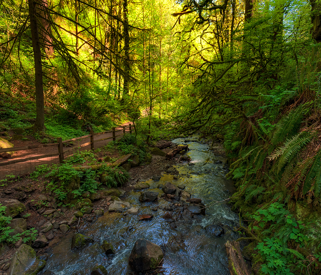
Running through Laurelhurst between Windermere and View Ridge, the corridor follows the western edge of Lake Washington, linking research campuses, historic institutional grounds, established residential enclaves, and expansive shoreline landscapes that collectively showcase one of Seattle's most varied urban environments. Mature Douglas firs, western red cedars, Pacific madrones, broadleaf maples, basalt outcrops, native shoreline vegetation, and intermittent lake vistas create a streetscape where Northwest ecology remains inseparable from the corridor's enduring identity. Throughout the route, generations of scientific inquiry, military service, recreation, and stewardship have cultivated an atmosphere defined by quiet confidence and lasting regional significance. The result is an experience distinguished by natural beauty, institutional importance, and one of Northeast Seattle's most memorable corridors.
What defines Sand Point Way.
Sand Point Way is best known for serving the Sand Point peninsula, whose strategic position on Lake Washington led to the establishment of Naval Air Station Seattle in 1922, making the surrounding corridor an enduring center of naval aviation, maritime operations, and aeronautical development. Expansion during the 1920s, 1930s, and World War II era introduced aircraft hangars, seaplane ramps, maintenance shops, ordnance facilities, brick administrative buildings, reinforced-concrete utility structures, and steel-framed industrial buildings constructed to support aviation training and Pacific coastal defense. Following the military installation's transition, the surrounding district evolved through nationally recognized scientific research, environmental stewardship, and public recreation while preserving the peninsula's longstanding relationship with aviation, freshwater ecology, and Lake Washington. Bald eagles, osprey, great blue herons, Chinook salmon, Douglas firs, Pacific madrones, western red cedars, and native wetland vegetation continue reflecting the ecological richness that defines the peninsula surrounding the corridor. Together, these military milestones, engineering achievements, scientific institutions, construction traditions, and ecological systems establish Sand Point Way as a defining expression of Northeast Seattle's historical evolution.
Landscape architect Richard Haag helped shape Seattle's modern environmental design philosophy through projects emphasizing ecological restoration and the thoughtful integration of natural systems into public landscapes, an approach reflected throughout the corridor's surrounding peninsula. The National Oceanic and Atmospheric Administration established major regional research operations at Sand Point during the late twentieth century, reinforcing the district's international importance in marine science, fisheries, and climate research. Buildings along Sand Point Way continue displaying reinforced-concrete structural frames, brick masonry, steel industrial trusses, expansive aircraft-scale openings, durable military construction techniques, and later research facilities that demonstrate the corridor's evolution from naval aviation infrastructure to scientific enterprise. Together, these influential institutions, pioneering environmental philosophies, and enduring construction traditions demonstrate how Sand Point Way has continually adapted while preserving its distinctive identity.
How Sand Point Way fits.
Sand Point Way works as an exploration of Northeast Seattle's waterfront landscapes, aviation legacy, and ecological richness.
Begin at Magnuson Park, where preserved military structures, extensive meadows, shoreline trails, and public art introduce the peninsula's layered history while establishing the environmental and historical context that defines the entire corridor. Continue to The Mountaineers Seattle Program Center, whose climbing heritage, outdoor education programs, and Pacific Northwest traditions deepen appreciation for the region's enduring relationship with wilderness before naturally guiding the outing toward its concluding destination. Conclude at Magnuson Park Beach, where sweeping Lake Washington views, quiet shoreline, and the distant Cascade skyline provide the resonant payoff by revealing the landscape that has shaped Sand Point Way's military, scientific, and recreational character for generations. The progression moves naturally from historical context through Northwest outdoor culture before concluding beside the shoreline that best explains the corridor's enduring character.
Where your story begins.
Foresyte Travel reveals places that feel extraordinary long before you arrive.
Enjoy editorial crafted for luxury travelers.
Foresyte may earn a commission when you book.