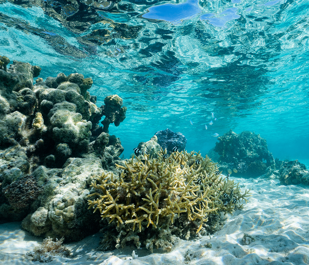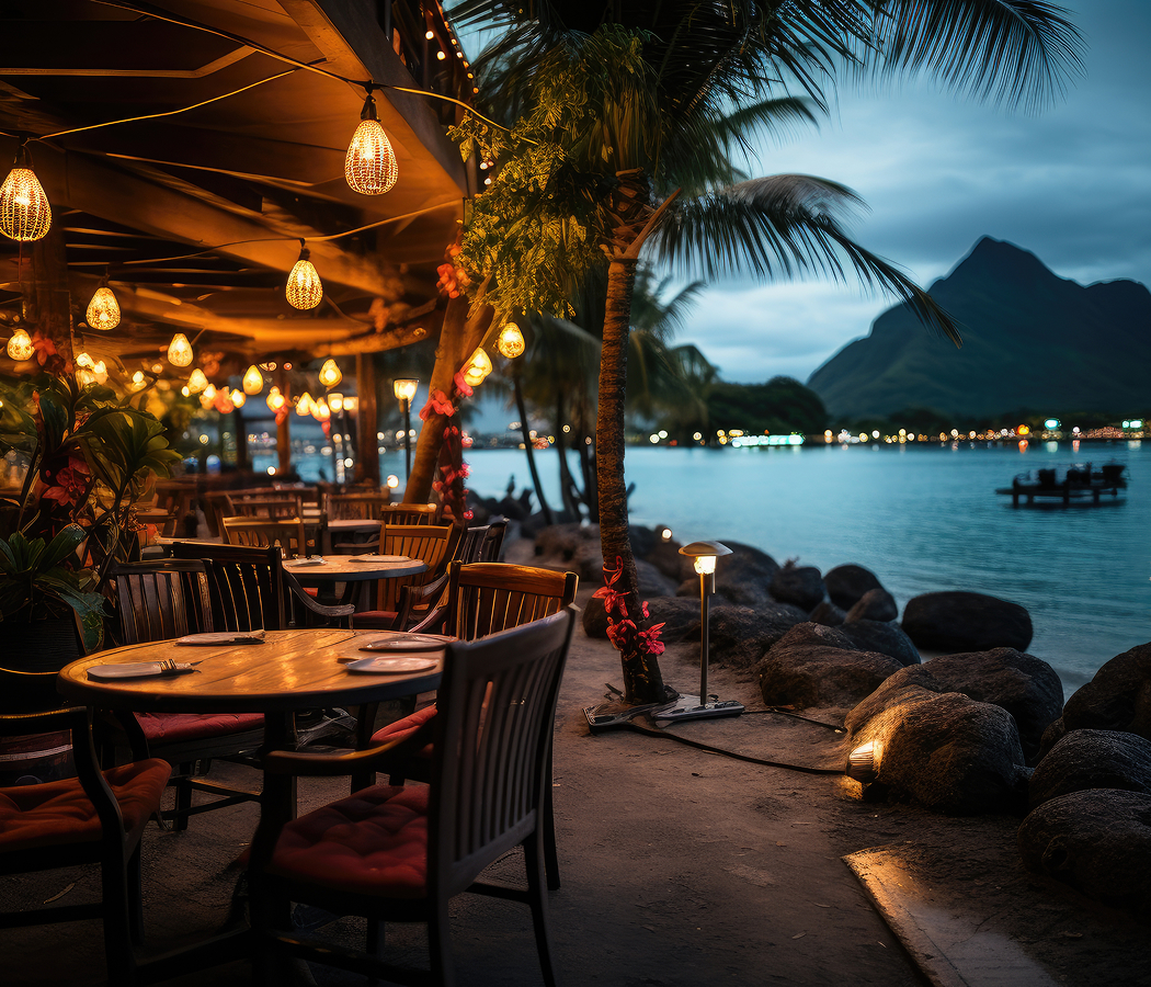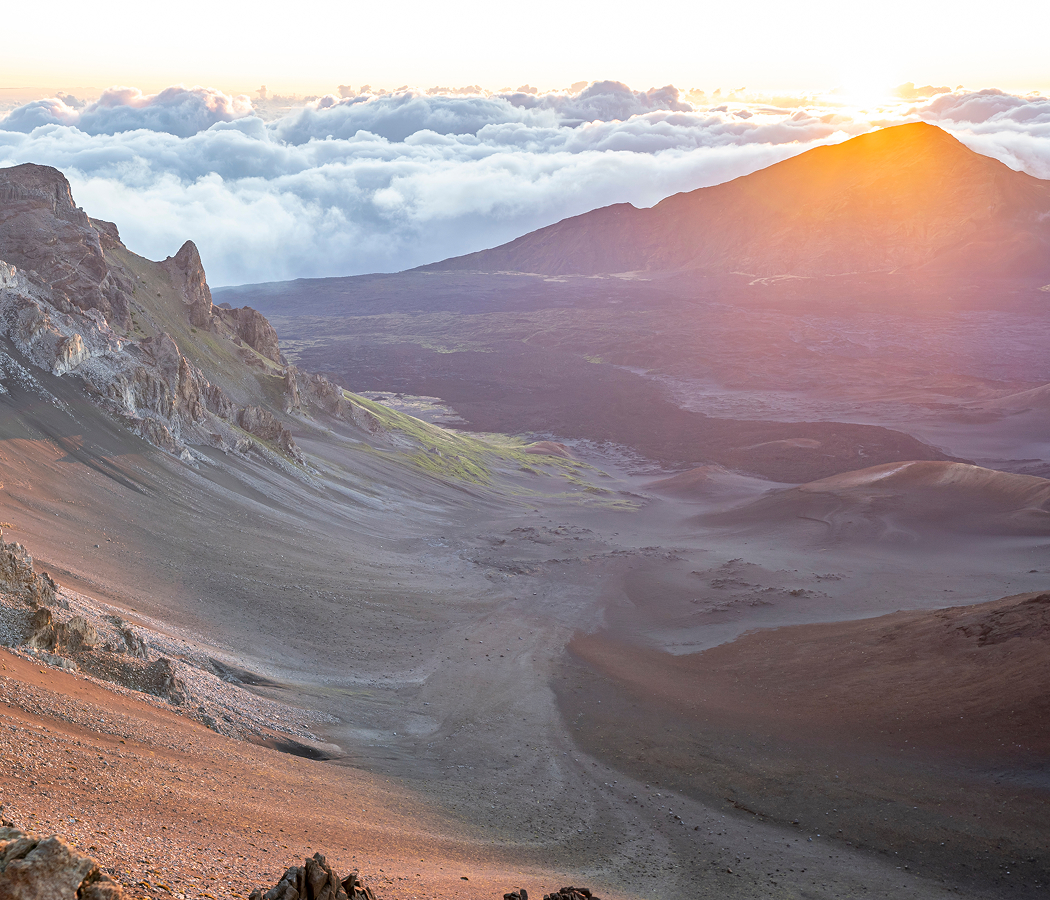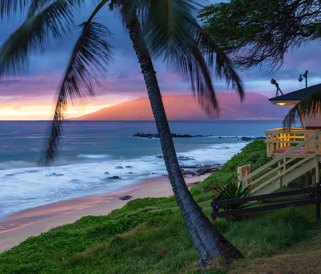

Why Hanauma Bay matters.
Hanauma Bay is a striking volcanic marine sanctuary where East Honolulu's rugged coastal geology meets the ecological richness of Hawaiian coral reefs, the conservation of native marine life and the transformation of a former recreational beach into one of Hawaiʻi's most important protected coastal environments.
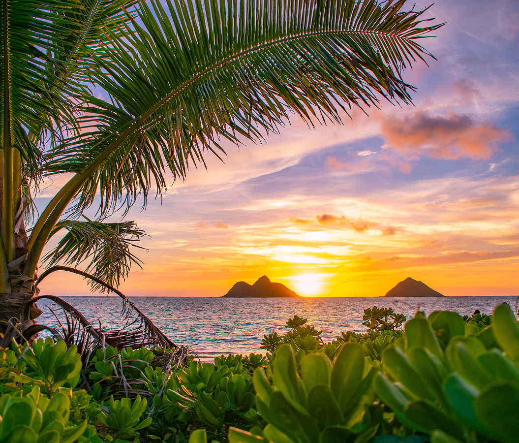
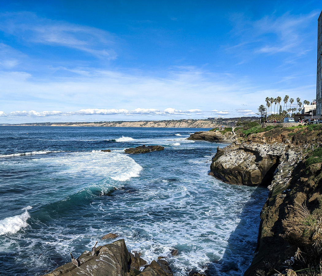
Curving into Oʻahu's southeastern shoreline between Koko Head and the volcanic ridges overlooking Portlock, the protected bay occupies a partially submerged volcanic crater whose steep tuff walls shelter a crescent-shaped beach, with its narrow ocean entrance opening toward the deep waters of the Pacific. Layered volcanic slopes descend toward pale sand and shallow reef flats, enclosing the beach within a distinctive geological amphitheater. Elevated overlooks provide expansive views of the bay's turquoise waters, surrounding cliffs and offshore reef formations. A paved access road descends from the upper visitor facilities toward the beach, crossing a landscape of dry coastal vegetation and exposed volcanic rock. The result is a sheltered marine environment whose geological formation, coral habitats and carefully managed public access establish a direct connection between Hawaiʻi's volcanic origins and contemporary ocean conservation.
What defines Hanauma Bay.
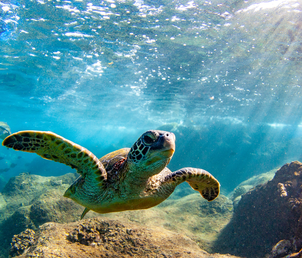
Hanauma Bay is best known for its protected coral reef ecosystem, volcanic crater setting and pioneering management of recreational access to a fragile Hawaiian marine environment. The bay originated through explosive volcanic activity associated with the Honolulu Volcanics, a series of eruptions that occurred after the formation of Oʻahu's principal mountain ranges. Rising magma interacted with seawater and groundwater, producing powerful explosions that deposited layers of volcanic ash and fragmented rock around the eruptive vent. These deposits accumulated into a tuff cone, creating the geological structure that eventually became the bay's enclosing headland. Subsequent marine erosion breached the seaward rim, allowing ocean water to enter the crater and establish a sheltered coastal basin. Coral communities developed across the shallow submerged surfaces, creating habitats for reef fish and other marine organisms. Native Hawaiian communities recognized the bay as an important coastal resource, incorporating its waters into traditions of fishing, gathering and ocean recreation. The Hawaiian name Hanauma is commonly associated with the curved shape of the bay and its distinctive coastal formation. During the twentieth century, improved road access and the growth of Honolulu's visitor economy increased recreational use of the shoreline. The bay became a popular destination for swimming and snorkeling, attracting large numbers of residents and travelers. Intensive visitation placed increasing pressure on coral habitats through physical contact, sediment disturbance and changes in the behavior of marine wildlife. Hawaiʻi established the Hanauma Bay Marine Life Conservation District in 1967, introducing legal protections for the area's marine resources. The designation restricted fishing and the removal of marine organisms, establishing conservation as a central responsibility of the site's management. Subsequent regulations addressed visitor behavior, reef protection and the ecological consequences of intensive recreational activity. The City and County of Honolulu developed an educational program requiring first-time visitors to learn about the bay's marine environment before entering the beach. A visitor education center opened in 2002, strengthening the connection between public access and conservation instruction. Management changes during the following decades introduced additional restrictions on visitation and recreational activities. Temporary closure during the COVID-19 pandemic in 2020 provided an opportunity to examine the effects of reduced human activity on the bay's ecosystem. The subsequent reopening incorporated reservation requirements and limits on daily attendance, establishing a more controlled approach to recreational use. Hanauma Bay's conservation history demonstrates the challenges of protecting a biologically significant coastal environment within one of Hawaiʻi's most heavily visited metropolitan regions.
How Hanauma Bay fits.
Hanauma Bay works as the marine conservation anchor for an East Honolulu outing connecting the volcanic origins of Oʻahu's coastline, the historical development of its maritime defenses and the dramatic geological formations of the island's southeastern headlands.
Begin at Koko Crater Botanical Garden, situated within the interior basin of a volcanic tuff cone near Hawaiʻi Kai. Established as a botanical garden in 1958, the site preserves a distinctive dryland environment suited to plants adapted to limited rainfall and exposed volcanic soils. Its collections include cacti, succulents, palms and flowering trees from arid regions around the world. Walking paths cross the crater floor beneath steep volcanic slopes, revealing the relationship between geological structure and plant adaptation. The garden's protected interior provides a substantial contrast with the surrounding coastal development and establishes a botanical perspective on southeastern Oʻahu's volcanic landscape. Continue to Koko Head District Park, the recreational landscape surrounding the former military railway ascending the steep flank of Koko Crater. The railway was constructed during World War II to transport personnel and supplies toward military installations positioned above the coast. Its surviving wooden ties form a demanding staircase that climbs toward the summit, preserving the physical route of the former military transport system. The ascent passes exposed volcanic slopes and provides extensive views across Hawaiʻi Kai, Maunalua Bay and the surrounding ridges. The site connects the island's geological formations with the strategic military infrastructure developed during the Pacific conflict. Conclude at Makapuʻu Point Lighthouse Trail, the paved coastal route ascending the eastern headland above Oʻahu's southeastern shoreline. The lighthouse began operating in 1909, providing an important navigational reference for vessels approaching Honolulu from the east. Its distinctive red-roofed structure occupies a prominent position above the ocean, where steep cliffs descend toward the Pacific. The surrounding headland provides views toward offshore islands, including Mānana and Kāohikaipu, whose volcanic origins contribute to the geological character of the coastline. Seasonal whale watching adds a further connection with the marine environment during the winter migration of humpback whales. The progression moves from Koko Crater Botanical Garden's dryland ecology through Koko Head District Park's military history and culminates at Makapuʻu Point Lighthouse Trail's maritime geography, connecting Hanauma Bay with the volcanic and coastal environments of southeastern Oʻahu.
Where your story begins.
Foresyte Travel reveals places that feel extraordinary long before you arrive.
Enjoy editorial crafted for luxury travelers.