Why Interstate 10 matters.
Interstate 10 is an enterprising corridor where Estrella's metropolitan connectivity, engineering ambition, economic growth, and desert landscapes create one of the American Southwest's defining transportation routes.
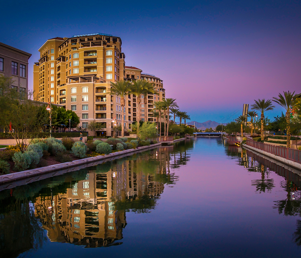
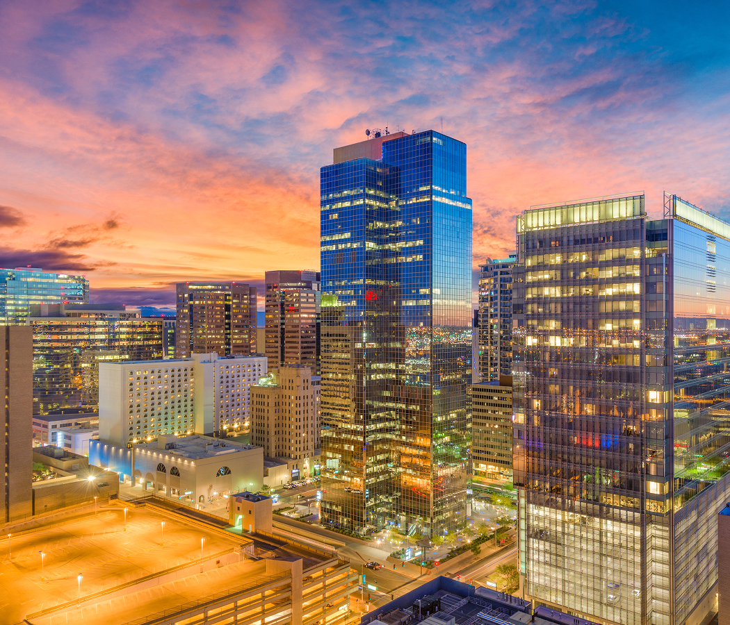
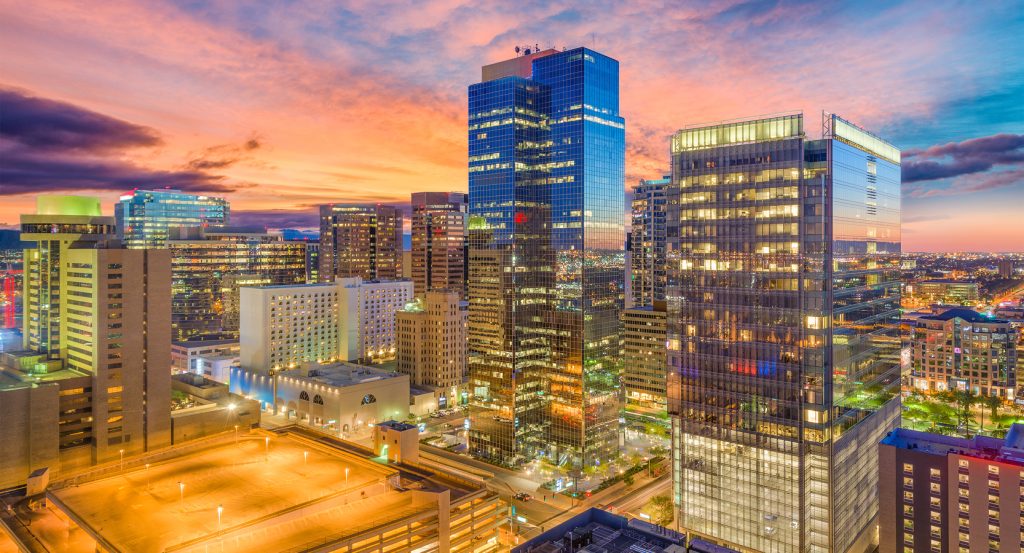
Running through Estrella between Maryvale and Downtown, the freeway links employment districts, logistics centers, civic destinations, mountain preserves, and established neighborhoods that reflect decades of sustained metropolitan expansion. Each successive stretch reveals engineered interchanges, dramatic desert vistas, contemporary commercial districts, public art, and expansive urban panoramas that reinforce the corridor's unmistakable regional identity. The defining moment arrives as Interstate 10 demonstrates how transportation infrastructure, economic investment, and environmental stewardship continue shaping one of Phoenix's most influential corridors. The result is an experience defined by regional mobility, engineering achievement, and one of Estrella's most significant corridors.
What defines Interstate 10.
Interstate 10 is best known for serving as the principal east-West Interstate across the southern United States, stretching 2,460 miles between Santa Monica, California, and Jacksonville, Florida, while forming the backbone of metropolitan Phoenix's regional transportation network. Construction through Phoenix accelerated during the 1960s, 1970s, and 1980s under the direction of the Arizona Department of Transportation, introducing reinforced concrete bridges, high-capacity flyover interchanges, mechanically stabilized earth retaining walls, collector-distributor lanes, intelligent transportation systems, sound barriers, and engineered drainage infrastructure that continue defining the freeway's engineering identity. The corridor's completion included the Deck Park Tunnel, which opened in 1990 beneath Margaret T. Hance Park, becoming one of the nation's longest vehicular tunnels constructed below an urban public park while reconnecting neighborhoods previously divided by freeway construction. Interstate 10 strengthens regional mobility through major junctions with Interstate 17, Loop 101, Loop 202, Loop 303, and State Route 51, supporting distribution centers, advanced manufacturing, healthcare campuses, higher education, tourism, and international commerce throughout the Valley. Ongoing widening projects, bridge rehabilitation, interchange modernization, and managed-lane improvements continue expanding capacity while preserving Interstate 10's central role within Arizona's transportation network. Collectively, the freeway's engineering achievements, metropolitan connectivity, infrastructure investment, and statewide economic importance established Interstate 10 as one of Phoenix's defining corridors.
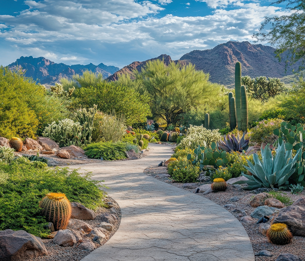
The Maricopa Association of Governments coordinates long-range transportation planning, travel demand forecasting, and regional mobility initiatives that reinforce Interstate 10's strategic importance throughout metropolitan Phoenix. The Arizona Game and Fish Department collaborates on wildlife conservation, habitat connectivity, and environmental stewardship practices that influence transportation improvements near sensitive Sonoran Desert environments adjoining the freeway. Saguaro, foothill palo verde, ironwood, velvet mesquite, creosote bush, brittlebush, and ocotillo establish resilient native landscapes that stabilize freeway edges while preserving the ecological character surrounding the corridor. Together, these regional organizations, environmental initiatives, and native desert ecosystems demonstrate how Interstate 10 continues evolving through coordinated transportation planning and responsible stewardship of Arizona's desert landscape.
How Interstate 10 fits.
Interstate 10 works as the gateway to Phoenix's civic landmarks and Sonoran Desert landscapes.
Begin at Margaret T. Hance Park, where the expansive urban green space built above the Deck Park Tunnel introduces the engineering story surrounding Interstate 10 while illustrating one of Phoenix's most innovative public works achievements. Continue to Arizona Capitol Museum, where preserved legislative chambers and territorial collections deepen appreciation for the governmental history connected by the freeway before guiding the experience toward its historical conclusion. Conclude at South Mountain Park and Preserve, where sweeping desert panoramas and one of the nation's largest municipal parks provide the historical payoff by revealing the enduring landscape that has framed transportation across the Salt River Valley for generations. The progression moves naturally from engineering innovation to civic history before culminating in Phoenix's defining desert environment.
Where your story begins.
Foresyte Travel reveals places that feel extraordinary long before you arrive.
Enjoy editorial crafted for luxury travelers.
Foresyte may earn a commission when you book.