Why Kaloko-Honokōhau National Historical Park matters.
Kaloko-Honokōhau National Historical Park is a protected Hawaiian cultural landscape where Honokōhau's ancient coastal settlements meet extraordinary fishpond engineering, volcanic terrain, and the enduring traditions of Native Hawaiian stewardship.
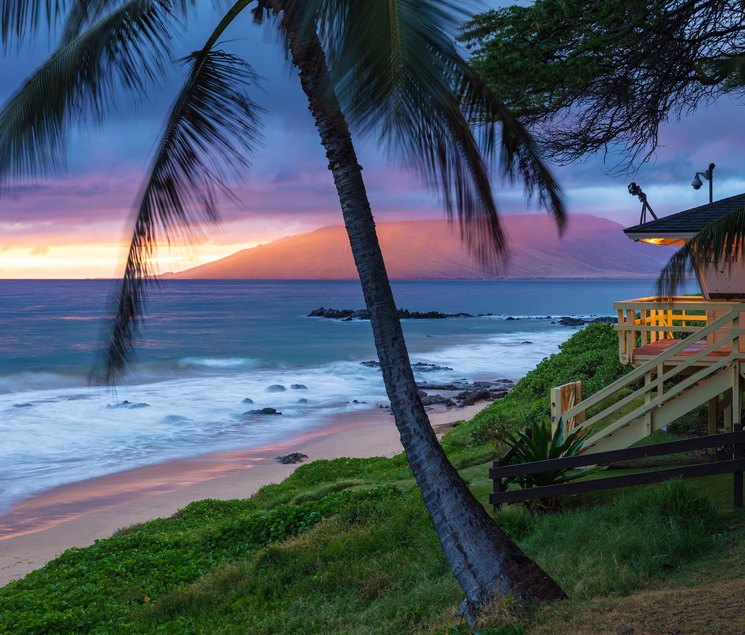
Stretching along the North Kona shoreline between Honokōhau Small Boat Harbor and the coastal lava fields of Kaloko, the park occupies the seaward side of Queen Kaʻahumanu Highway, with Hualālai rising inland and the Pacific extending westward across a rugged volcanic coast. Its distinctive landscape combines dark ʻaʻā lava, pale coral-sand beaches, shallow coastal lagoons, and scattered vegetation adapted to one of Hawaiʻi Island's driest environments. Visitors encounter the park through exposed walking trails that cross ancient lava flows and approach the shoreline, where surviving stone structures reveal the relationship between Hawaiian settlement and the surrounding marine environment. The atmosphere changes along the coast as waves break against black volcanic rock, sheltered water reflects the sky, and the open terrain reveals uninterrupted views across the ocean toward the western horizon. The result is an exceptional historical landscape where the physical demands of a volcanic coastline make the ingenuity of its former inhabitants immediately apparent.
What defines Kaloko-Honokōhau National Historical Park.
Kaloko-Honokōhau National Historical Park is best known for preserving an extensive Hawaiian coastal settlement whose engineered fishponds demonstrate one of the Pacific's most sophisticated traditions of marine aquaculture. Long before European contact, Hawaiian communities occupied the arid lava fields of Kekaha Waiʻole, developing settlements sustained by marine resources, freshwater emerging through volcanic rock, and agricultural production in the uplands. The landscape formed part of an interconnected system of ahupuaʻa, traditional land divisions extending between mountain and sea that organized access to natural resources and supported communities across different ecological zones. Hawaiian families established residential compounds, ceremonial structures, fishing facilities, and pathways across the difficult volcanic terrain, creating a productive settlement whose archaeological remains encompass more than 200 sites. The development of loko iʻa, traditional Hawaiian fishponds, represented a particularly consequential achievement, transforming sheltered coastal waters into managed environments for cultivating fish. Kaloko Fishpond became one of the most impressive examples of this technology, with a massive dry-stacked seawall extending across a natural embayment to create a protected aquatic enclosure. The kuapā measured 250 yards in length, reached widths of 30 to 40 feet, and stood six and a half feet high, making it the largest surviving fishpond retaining wall in Hawaiʻi. Hawaiian builders selected water-worn lava stones and assembled them through careful interlocking, producing a structure whose substantial mass absorbed ocean-wave energy while allowing water to circulate through its porous construction. Two engineered channels, known as ʻauwai kai, connected the pond with the sea, incorporating mākāhā sluice gates that controlled the movement of fish and water. Smaller fish entered the enclosure through these openings, feeding and growing within the protected pond until their increased size prevented them from escaping through the gates. The system provided a managed food supply whose productivity depended on detailed knowledge of tidal circulation, fish behavior, and the relationship between freshwater and seawater. Kaloko became closely associated with Kamehameha I, whose political authority extended across Hawaiʻi Island before his eventual unification of the Hawaiian Islands. The pond's importance reflected the relationship between large-scale food production and chiefly power, with substantial aquaculture facilities supporting the resources required by ruling households and their communities. A second major installation, ʻAimakapā Fishpond, developed around a naturally formed coastal lagoon separated from the ocean by a sand berm. Hawaiian fishpond keepers modified the lagoon through engineered channels that allowed seawater to enter and circulate through the brackish environment, creating a productive aquatic system sustained by both ocean tides and freshwater springs. Its thirty-acre extent made ʻAimakapā the largest natural pond and wetland complex along Hawaiʻi Island's Kona coast. Traditional aquaculture continued there for more than six centuries, extending into the 1950s as the region underwent substantial economic and social transformation. The smaller ʻAiʻōpio Fishtrap employed a different engineering principle, using stone walls constructed across a shallow bay to create a tidal enclosure covering 1.7 acres. Fish entered during high water and became confined as the tide receded, allowing the community to maintain a dependable source of marine food. Together, these three installations demonstrate the diversity of Hawaiian coastal engineering, with different physical arrangements developed for the specific tidal, geological, and ecological conditions of each location. European contact introduced diseases and political transformations that profoundly disrupted the communities responsible for maintaining these agricultural and marine systems. The overthrow of the Hawaiian Kingdom in 1893 accelerated changes in land control and cultural practices, and the gradual abandonment of traditional aquaculture contributed to the deterioration of the historic fishponds. Severe storms during the 1950s damaged the Kaloko seawall, leaving substantial sections of its original construction vulnerable to further erosion. A renewed movement to preserve Hawaiian language, cultural practices, and ancestral places emerged during the Hawaiian Renaissance of the 1970s, bringing the historic coastal settlements into a broader campaign for cultural restoration. Native Hawaiian kūpuna and community advocates participated in the Congressional Honokōhau Study Advisory Commission, developing a proposal that placed traditional knowledge and cultural continuity at the center of future preservation. Their work culminated in the 1974 report The Spirit of Ka-loko Hono-kō-hau, which established a vision for protecting the landscape as a place of continuing Hawaiian cultural practice. Congress established Kaloko-Honokōhau National Historical Park in 1978, protecting 1,160 acres of terrestrial and marine environments from development. The legislation directed the National Park Service to manage the property in accordance with the cultural principles developed through the advisory commission, giving the park an unusually direct institutional connection to the Hawaiian community responsible for its preservation. The establishment of the park transformed an endangered archaeological landscape into a protected setting for restoring traditional aquaculture, preserving ancestral places, and perpetuating Hawaiian cultural knowledge.
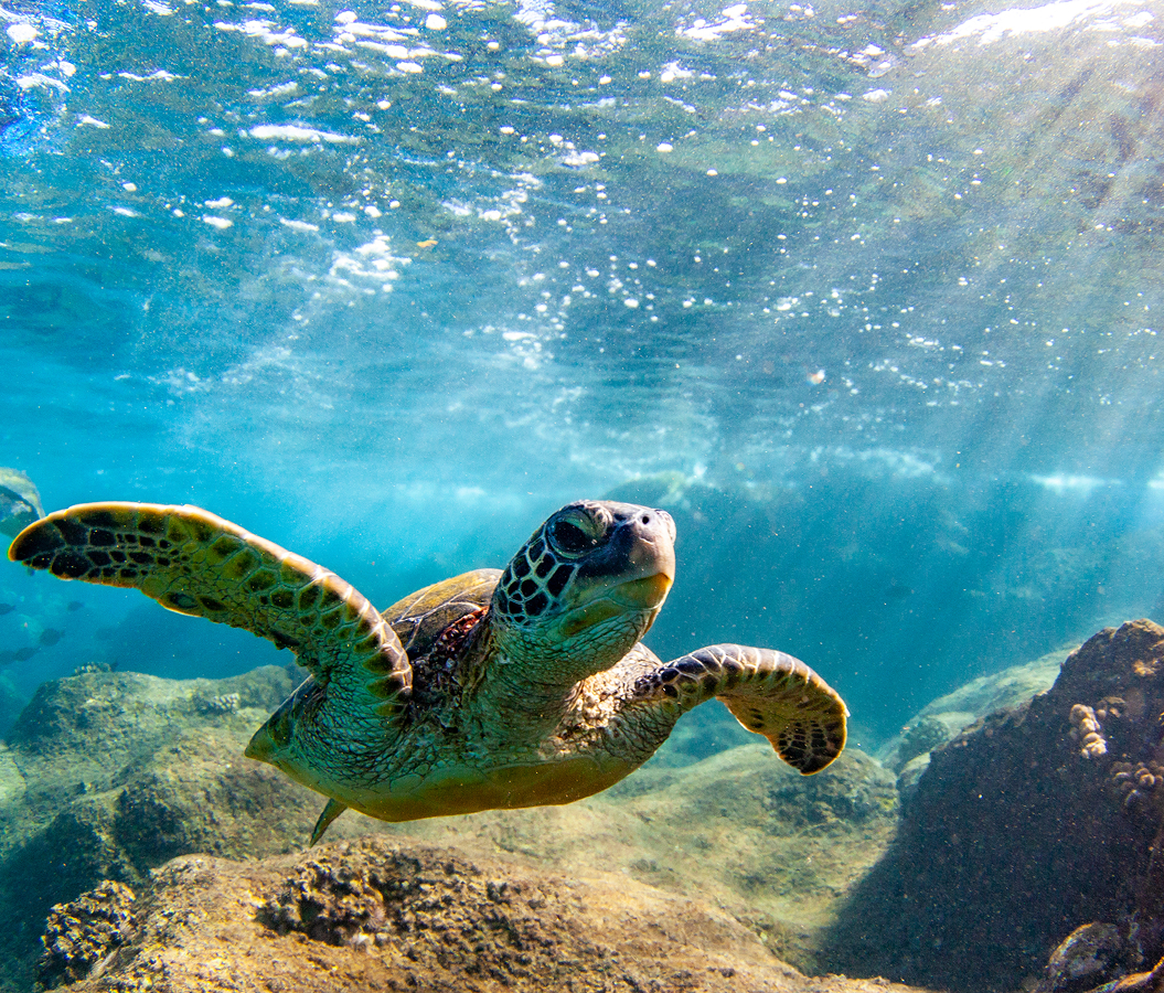
The National Park Service's restoration of Kaloko Fishpond began a major new chapter in 1998, when work commenced on rebuilding the damaged kuapā through traditional dry-stone masonry. The undertaking required an understanding of how the original builders had distributed the immense weight of lava stones across the shoreline, creating a stable structure capable of absorbing wave energy through its width and carefully assembled surfaces. Hawaiian master masons contributed specialized construction knowledge, and a kūpuna who had worked on the seawall during his youth provided direct knowledge of its former configuration and maintenance. Restoration crews recovered the alignment of surviving foundation stones and reconstructed damaged sections using traditional methods, preserving the relationship between the original engineering and the renewed structure. Work on the southern ʻauwai kai restored an essential connection between the pond and the ocean, allowing the movement of seawater to become part of the rehabilitation program. The National Park Service also removed invasive vegetation from the surrounding aquatic environment, addressing ecological changes that had interfered with the pond's traditional function. This undertaking developed alongside the growing recognition that the park's aquatic environments preserve exceptionally important wildlife habitats. More than 200 anchialine pools occur within the protected landscape, forming small bodies of brackish water connected to the ocean through underground passages in porous volcanic rock. Rainwater descending from Hualālai enters these subterranean systems, mixing with seawater and creating habitats whose water levels respond to changing tides despite the absence of visible surface connections. The pools support ʻōpaeʻula, the tiny Hawaiian red shrimp Halocaridina rubra, whose extraordinary adaptation to underground aquatic environments includes a lifespan reaching fifteen years. Individual shrimp grow to less than half an inch, feeding on microscopic organisms and occupying protected crevices beneath the water's surface. Their survival depends on the chemical and hydrological stability of the pools, making groundwater circulation a fundamental element of the park's conservation responsibilities. The larger wetlands support endangered Hawaiian waterbirds, including the aeʻo, or Hawaiian stilt, and the ʻalae keʻokeʻo, or Hawaiian coot. These species depend on shallow aquatic habitats for feeding, breeding, and shelter, connecting the restoration of traditional fishpond environments with the protection of threatened native wildlife. The National Park Service adopted a comprehensive restoration and management program for ʻAimakapā in 2016, addressing invasive vegetation, water circulation, habitat degradation, and the recovery of native wetland species. The program incorporated selective vegetation removal and predator management alongside efforts to improve aquatic conditions and restore native plants. Its conservation objectives reflected the complexity of preserving a landscape shaped by centuries of human management, where ecological rehabilitation and traditional cultural practices occupy the same physical environment. Coastal marine habitats extend this relationship beyond the ponds, supporting coral communities, reef fish, and Hawaiian green sea turtles that feed along the rocky shoreline. The park's 596 acres of protected marine waters preserve the connection between ancient settlement patterns and the productive coastal ecosystems that sustained them. Kaloko-Honokōhau represents an exceptional convergence of Hawaiian engineering, cultural restoration, groundwater ecology, and endangered-species conservation, with the survival of each element contributing to the long-term preservation of the entire landscape.
How Kaloko-Honokōhau National Historical Park fits.
Kaloko-Honokōhau National Historical Park works as the historical foundation for an exploration connecting the development of modern Kona maritime infrastructure with the royal political authority and religious transformations that shaped Hawaiʻi during the nineteenth century.
Begin at Honokōhau Small Boat Harbor, the protected maritime facility constructed during the expansion of West Hawaiʻi's modern coastal economy. The River and Harbor Act of 1965 authorized the project, establishing a federal and state partnership intended to provide dependable shelter for vessels operating along a coastline historically exposed to ocean swells. Construction reached completion in March 1970 at a cost of $2.107 million, introducing an engineered harbor whose entrance channel extended 1,088 feet through the volcanic shoreline. Two substantial rubble-mound wave absorbers protected the entrance, reducing the force of incoming seas and creating safer conditions for vessels using the harbor. The facility eventually developed berthing and mooring arrangements for 262 boats, supporting commercial fishing, recreational boating, and marine excursions as Kailua-Kona's maritime economy expanded. Continue to Kamakahonu National Historic Landmark, the royal coastal compound associated with the final years of Kamehameha I's reign. Following his unification of the Hawaiian Islands, Kamehameha returned to Hawaiʻi Island in 1812 and established his principal residence beside Kailua Bay. The compound incorporated Ahuʻena Heiau, a ceremonial structure associated with the king's religious observances and consultations with important advisers. Kamehameha died at Kamakahonu on May 8, 1819, initiating the succession of his son Liholiho as Kamehameha II. The subsequent abolition of the traditional kapu system transformed Hawaiian religious and political life, creating the conditions for profound changes in chiefly authority and public worship. The compound preserves the coastal setting where these consequential events unfolded during the transition between two eras of Hawaiian government. Conclude at Mokuʻaikaua Church, the historic Christian sanctuary whose congregation originated with the arrival of American Protestant missionaries in 1820. Asa and Lucy Thurston reached Kailua aboard the brig Thaddeus, joining the first missionary company sent to the Hawaiian Islands by the American Board of Commissioners for Foreign Missions. Their establishment of a congregation initiated a new religious institution within a kingdom already undergoing substantial political and cultural transformation. Governor John Adams Kuakini supported the development of a permanent church, and an earlier wooden building eventually gave way to the substantial stone sanctuary completed in 1837. The surviving structure incorporated lava rock, lime mortar, and timber obtained from the forests of Hualālai, translating locally available construction resources into an enduring expression of nineteenth-century religious architecture. The progression moves from Honokōhau Small Boat Harbor's twentieth-century maritime development through Kamakahonu National Historic Landmark's royal political history and culminates at Mokuʻaikaua Church, connecting the transformation of Kona's coastal infrastructure with the governmental and religious changes that reshaped Hawaiʻi during the nineteenth century.
Where your story begins.
Foresyte Travel reveals places that feel extraordinary long before you arrive.
Enjoy editorial crafted for luxury travelers.
Foresyte may earn a commission when you book.