
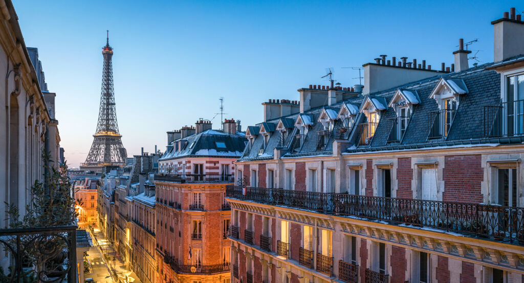
Why Maison-Blanche matters.
Maison-Blanche is a topographically distinctive enclave where the former outskirts of Gentilly meet southern Paris through rising streets, secluded houses and traces of a buried river valley that once separated cultivated slopes from the expanding capital.
Positioned between Butte-aux-Cailles, Quartier de la Gare, and Parc Montsouris, the neighborhood occupies a broad southeastern pocket where Avenue d'Italie, Rue de Tolbiac and Rue Bobillot cross terrain descending toward the former course of the Bièvre before climbing again toward Paris's southern edge. Changes in elevation remain fundamental to its physical character, with steep approaches around the Butte giving way to lower ground and residential streets whose scale shifts between apartment blocks, small houses and former industrial parcels. Avenue d'Italie establishes the primary encounter through the old road toward Fontainebleau, preserving the neighborhood's historic north-south orientation even as successive building campaigns transformed its edges. Streets extending west toward the former Bièvre valley deepen the setting through quieter residential pockets whose modest dimensions recall territory urbanized later than Central Paris. Southern blocks approach the line of the former Thiers fortifications, adding another historical boundary to a district already shaped by river, hillside and the nineteenth-century expansion of the capital. The result is a neighborhood whose present street fabric rests on unusually legible layers of topography and metropolitan growth, preparing a history that begins with Petit-Gentilly and the rural territory absorbed into Paris in 1860.
What defines Maison-Blanche.
Maison-Blanche is best known for developing from Petit-Gentilly, the northern part of the commune of Gentilly annexed to Paris in 1860 as the capital expanded to the Thiers fortifications. The neighborhood's name came from a Maison Blanche inn standing on the old route de Fontainebleau, the road represented by present-day Avenue d'Italie. Large stretches of the newly annexed territory remained unbuilt, particularly across the Bièvre valley and toward the southern edge of the Arrondissement. The river had long supported industrial activity in southeastern Paris, with dyers drawn to its banks after Jean Gobelin established himself along the Bièvre in 1443 and built a family enterprise celebrated for scarlet dye. Tanneries and other water-dependent trades subsequently accumulated along the valley, binding manufacturing to a river that became increasingly polluted as urbanization intensified. Rue de Tolbiac, opened during the 1870s, imposed a major east-west route across this irregular terrain and initially crossed part of the valley on an elevated structure. Paris then covered the Bièvre through Maison-Blanche during the early twentieth century and filled substantial sections of its valley, radically altering inherited ground levels as streets replaced the open watercourse. Filling continued into the 1930s in the southern district, leaving the vanished river beneath a neighborhood whose elevation had been physically reconstructed during its incorporation into modern Paris.
Industrial growth supplied another mechanism for changing Maison-Blanche as inexpensive peripheral land attracted enterprises beyond the trades historically tied to the river. Factories spread through the southern thirteenth Arrondissement during the late nineteenth and early twentieth centuries, bringing working populations into territory still carrying substantial open ground after annexation. Housing followed this expansion through dense apartment construction alongside smaller residential developments, producing a district whose growth differed sharply from the earlier stone fabric of Central Paris. Avenue d'Italie became an increasingly important commercial spine as development advanced toward Porte d'Italie and absorbed the former roadside settlement into the capital. Metro construction added another decisive layer when Maison Blanche station opened on March 7, 1930 as part of the Line 10 extension from Place d'Italie to Porte de Choisy. The station transferred to Line 7 on April 26, 1931, connecting the district directly with the northern Paris network. Engineers selected Maison Blanche in 1935 for an experimental air-raid shelter, installing sealed doors and ventilation intended to protect passengers from chemical attack, giving an ordinary neighborhood station an unusual role in the defensive preparations of interwar Paris.
How Maison-Blanche fits.
Maison-Blanche works as the anchor for a daytime exploration connecting a garden settlement created on unstable former river ground, a major parish church built for the growing southern population and a surviving threshold from the fortifications that once defined the capital's boundary.
Begin at Cité Florale, created in 1928 on former meadowland beside the course of the Bièvre, where recurrent flooding made heavier construction unsuitable and encouraged an enclave of small houses with private gardens. The development acquired a botanical naming scheme across Rue des Glycines, Rue des Orchidées, Rue des Iris, Rue des Liserons, Rue des Volubilis and Square des Mimosas, binding its street plan to the planted character of the houses; its low-rise form survives as a rare architectural response to the physical constraints left by the buried river valley. Continue to Église Sainte-Anne de la Butte-aux-Cailles, originally Sainte-Anne de la Maison-Blanche, where Prosper Bobin developed a Romano-Byzantine church between the 1890s and 1912 as the expanding population outgrew an earlier chapel. Bobin drew elements of the portal from Saint-Trophime at Arles and carried the composition upward through twin towers reaching 55 meters, followed during 1937 to 1939 by Mauméjean stained-glass and mosaic work devoted to the Virgin and Saint Anne. Conclude at Poterne des Peupliers, where a discreet passage through the Thiers fortifications once controlled movement across Paris's southern defensive boundary between Porte de Gentilly and Porte d'Italie. The enceinte built during the 1840s was marked for dismantling by the law of April 19, 1919, yet the location retains an unusual concentration of historical layers: the Bièvre passed through this low ground, the fortification threshold crossed above it, and Eugène Atget photographed the surrounding Zone with its chiffonniers before metropolitan construction erased much of that peripheral landscape. The progression moves from housing adapted to the former Bièvre valley through Bobin and Mauméjean answering rapid population growth with a new parish church into a surviving military threshold photographed during the disappearance of the old Zone, tracing the successive absorption of Maison-Blanche from peripheral ground into Paris.
Where your story begins.
Foresyte Travel reveals places that feel extraordinary long before you arrive.
Enjoy editorial crafted for luxury travelers.
Foresyte may earn a commission when you book.














































































































