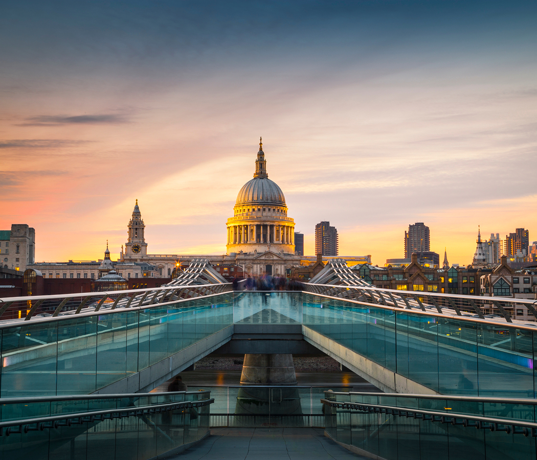
Why you should experience Marylebone Road in London, England.
Marylebone Road is a grand Central London thoroughfare where transportation innovation, institutional influence, and metropolitan growth converge along one of the capital's most important urban corridors.
Running east to west between Euston Road and Edgware Road along the northern edge of Marylebone, this major avenue connects railway terminals, museums, academic institutions, government facilities, residential districts, and commercial centers that have shaped London's development for generations. Landmark buildings, transportation infrastructure, historic institutions, cultural destinations, and continuous urban activity create a streetscape defined by movement and connectivity. Originally laid out as part of London's eighteenth-century expansion, the road evolved from a peripheral route skirting the edge of the city into a critical artery linking some of the capital's most important districts. Over time, engineers, planners, educators, entrepreneurs, and civic leaders helped transform the corridor into a backbone of metropolitan life. To the south, Marylebone extends naturally from Marylebone Road through a network of elegant streets, cultural institutions, and historic landmarks that reinforce the area's longstanding importance within Central London. The result is a corridor defined by infrastructure, influence, and urban significance.
What you should know about Marylebone Road.
Marylebone Road is best known for forming part of the New Road, the revolutionary eighteenth-century bypass that became London's first purpose-built ring road.
When construction began during the 1750s, London remained concentrated within a relatively compact urban footprint, and traffic moving between the western and eastern approaches to the city often faced severe congestion in the crowded streets near the center. The New Road was conceived as a bold solution to this problem, creating a broad route across the northern edge of the capital that allowed livestock, goods, commercial traffic, and long-distance travelers to bypass the most congested districts. Marylebone Road emerged as one of the principal sections of this infrastructure project, helping establish a new model for urban transportation planning at a scale rarely attempted in Britain at the time. The road fundamentally altered patterns of movement across the city and encouraged development along previously peripheral areas. As London expanded during the nineteenth century, what had once been a bypass became absorbed into the heart of the metropolis, surrounded by railway stations, institutions, residential districts, and commercial centers. The success of the New Road demonstrated how infrastructure could shape the future growth of an entire city, influencing urban planning decisions for generations. Few streets in London played such a direct role in redefining how the capital functioned and expanded during the modern era.
How to fold Marylebone Road into your trip.
Marylebone Road is best experienced as an exploration of London's transportation history, cultural institutions, and architectural landmarks.
Begin at Madame Tussauds, where the corridor's defining relationship with tourism, entertainment, and public life immediately comes into focus. Continue toward The Sherlock Holmes Museum, whose literary associations reveal the cultural significance that helped shape Marylebone's global identity. From there, make your way to The British Library, where one of the world's most important research institutions provides a broader perspective on the educational and intellectual forces that influenced the surrounding district across generations. Along the route, you'll encounter historic institutions, transportation landmarks, academic facilities, cultural destinations, architectural treasures, public spaces, and major civic infrastructure that showcase the corridor's remarkable depth. The progression moves naturally from cultural attraction to literary landmark to global research institution, revealing the forces that transformed Marylebone Road into one of London's most consequential urban thoroughfares. Marylebone Road remains one of the capital's most important corridors, preserving a distinctive balance between transportation innovation, institutional influence, and metropolitan connectivity.
Where your story begins.
Start the planning journey with Foresyte Travel.
Experience immersive stories crafted for luxury travelers.