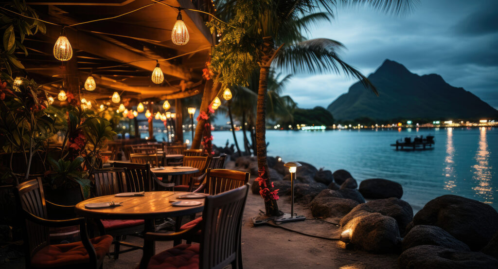
Why Bora Bora Lagoon matters.
Bora Bora Lagoon is a striking coral-ringed marine basin where the Society Islands' volcanic origins meet centuries of Polynesian seafaring, the ecological complexity of tropical reefs and the sheltered turquoise waters that have made Bora Bora one of the South Pacific's most distinctive island landscapes.
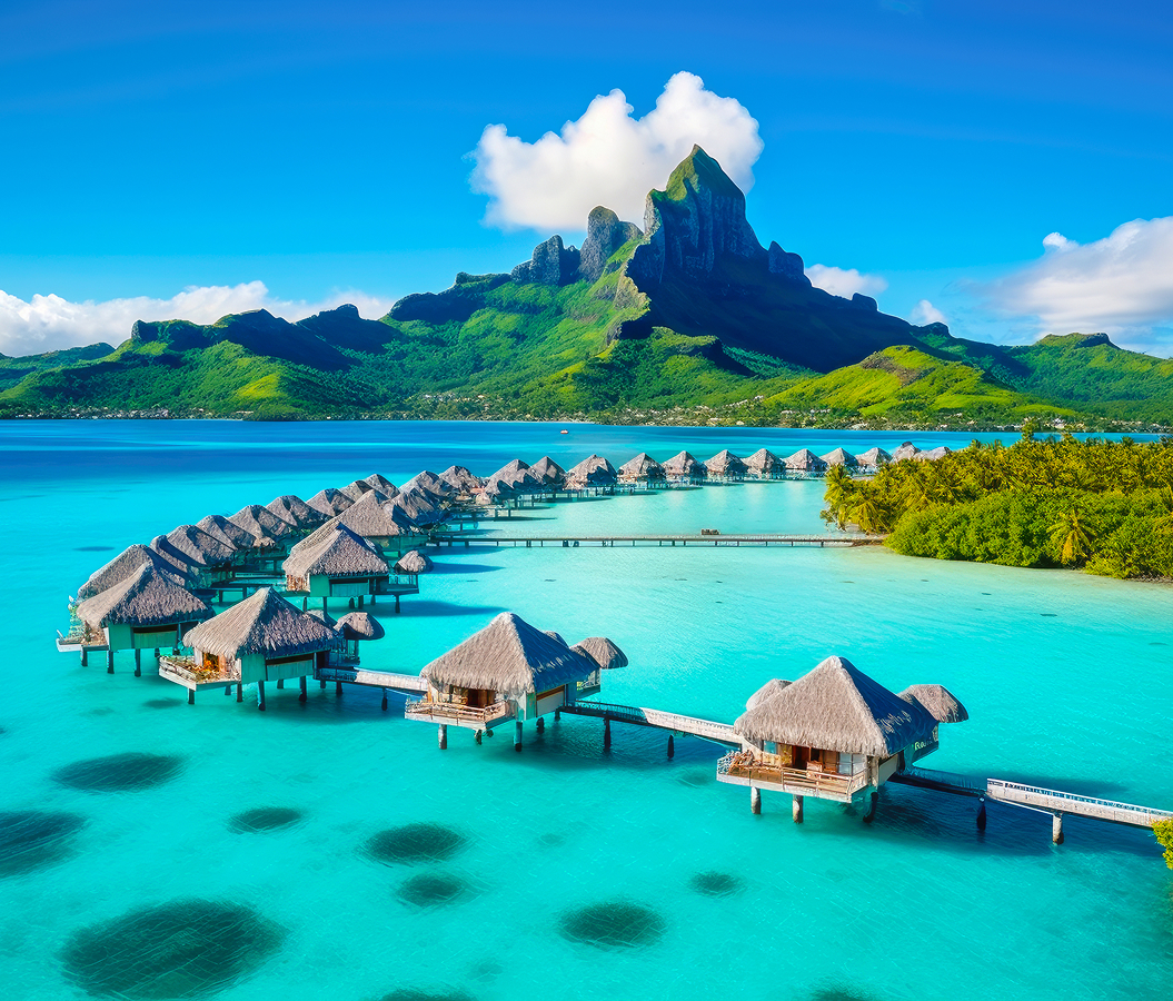
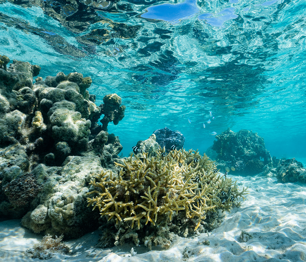
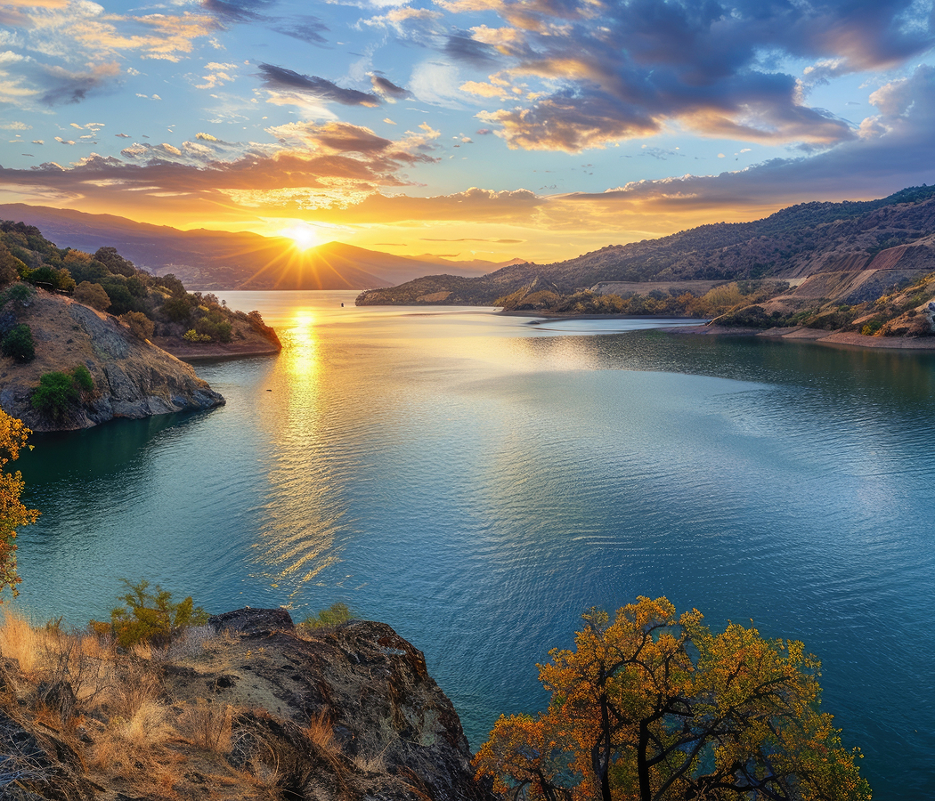
Encircling Bora Bora's mountainous central island in French Polynesia's Leeward Islands, the lagoon occupies the broad marine basin between the volcanic shoreline and an outer barrier reef, with palm-covered motu forming an interrupted coastal rim around its eastern, northern and southern margins. Shallow sandbanks extend across luminous turquoise water, giving way to deeper blue channels and submerged coral formations. Narrow reef passages connect the sheltered basin with the open Pacific, concentrating tidal exchange and marine movement. Overwater villas, fishing boats and traditional outrigger craft occupy different sections of the expansive waterway. The result is a remarkable tropical seascape whose volcanic enclosure, living coral structures and navigable waters sustain Bora Bora's maritime communities and international tourism economy.
What defines Bora Bora Lagoon.
Bora Bora Lagoon is best known for its brilliant turquoise waters, extensive barrier reef, palm-covered coral islets and extraordinary concentration of marine scenery surrounding an ancient volcanic island. Its geological history began with the formation of the Society Islands as the Pacific Plate moved across a volcanic hotspot. Successive eruptions constructed Bora Bora's original volcanic mass above the surrounding ocean, depositing basaltic material that eventually formed substantial mountains and coastal slopes. As volcanic activity ceased, prolonged weathering and erosion reduced the island's original dimensions, cutting valleys into its exposed rock. Coral organisms colonized the submerged margins, constructing reef structures through the accumulation of calcium-carbonate skeletons. Gradual subsidence of the volcanic foundation allowed coral growth to maintain portions of the reef near sea level. The resulting separation between the central island and the outer reef produced a broad lagoon protected from much of the open Pacific's wave energy. Continued biological growth and sediment transport created shallow platforms, sandy channels and the low coral islands known throughout Polynesia as motu. These processes established the contrasting marine environments that distinguish Bora Bora's coastal geography. Polynesian navigators reached the Leeward Islands centuries before European contact, developing settlements supported by horticulture, fishing and extensive knowledge of ocean currents. Canoe construction and celestial navigation enabled sustained connections between island communities across considerable distances. Bora Bora developed a powerful chiefly society whose influence extended through regional political and maritime relationships. The island's traditional name, Pora Pora, remains associated with its Polynesian history. European exploration intensified during the eighteenth century, introducing new commercial and political connections across the archipelago. French colonial expansion during the nineteenth century subsequently altered the political organization of the Leeward Islands. During the Second World War, American forces established a military support installation on Bora Bora under Operation Bobcat, beginning in 1942. The sheltered marine basin provided an important anchorage for vessels operating across the South Pacific. Military construction introduced coastal defenses, transportation facilities and supporting infrastructure that influenced the island's subsequent development. Postwar aviation and international tourism gradually expanded access to Bora Bora, establishing the surrounding waters as the foundation of its resort economy.
How Bora Bora Lagoon fits.
Bora Bora Lagoon works as the marine centerpiece for an island outing connecting Bora Bora's inhabited waterfront, its volcanic mountain interior and the publicly accessible shoreline that reveals the relationship between the island and its surrounding reef.
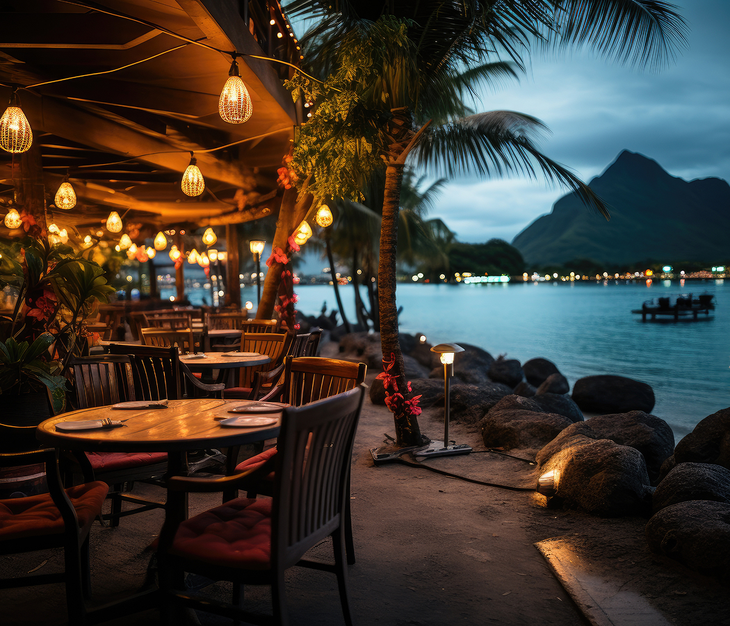
Begin at Vaitape, Bora Bora's principal settlement and commercial harbor along the western coast of the main island. The village serves as the administrative center and an important transportation hub, with passenger vessels connecting its waterfront to the airport and surrounding island destinations. Local shops, markets and restaurants occupy the adjoining streets, supporting commercial activity alongside the island's resort industry. The harbor's sheltered position provides a direct connection with the maritime routes that have sustained Polynesian settlement and exchange. Its waterfront also introduces the continuing importance of fishing, boat transportation and local services within Bora Bora's economy. Continue to Mount Otemanu, the imposing volcanic peak rising above the island's central mountain mass. Reaching 727 meters, the summit preserves the deeply eroded remains of Bora Bora's ancient volcanic structure. Steep basaltic cliffs, jagged ridges and densely vegetated lower slopes reveal the geological processes responsible for the island's present form. Its exposed upper elevations define views across the surrounding coastal settlements and offshore islets. Guided excursions through the lower mountain terrain provide perspectives on the relationship between volcanic rock, tropical vegetation and the island's steep topography. Conclude at Matira Beach, the extensive public shoreline occupying Bora Bora's southern peninsula. Its fine coral sand descends gradually into shallow, sheltered water, creating broad areas suitable for swimming under favorable conditions. Coconut palms border sections of the beach, and nearby restaurants connect the waterfront with the surrounding residential district. The western shoreline provides expansive sunset views across the water toward the outer reef. Its accessible coastal setting demonstrates how marine sediment accumulation creates beaches along the protected margins of tropical volcanic islands. The progression moves from Vaitape's working harbor through Mount Otemanu's volcanic heights and culminates at Matira Beach's coral-derived shoreline, connecting Bora Bora Lagoon with the geological and cultural foundations of the island.
Where your story begins.
Foresyte Travel reveals places that feel extraordinary long before you arrive.
Enjoy editorial crafted for luxury travelers.