Why Haeundae Blueline Park matters.
Haeundae Blueline Park is a coastal railway attraction where Haeundae's maritime heritage meets the preservation of Busan's historic Donghae Nambu Line, the engineering of its elevated Sky Capsule system, and the dramatic geography of Korea's southeastern shoreline.
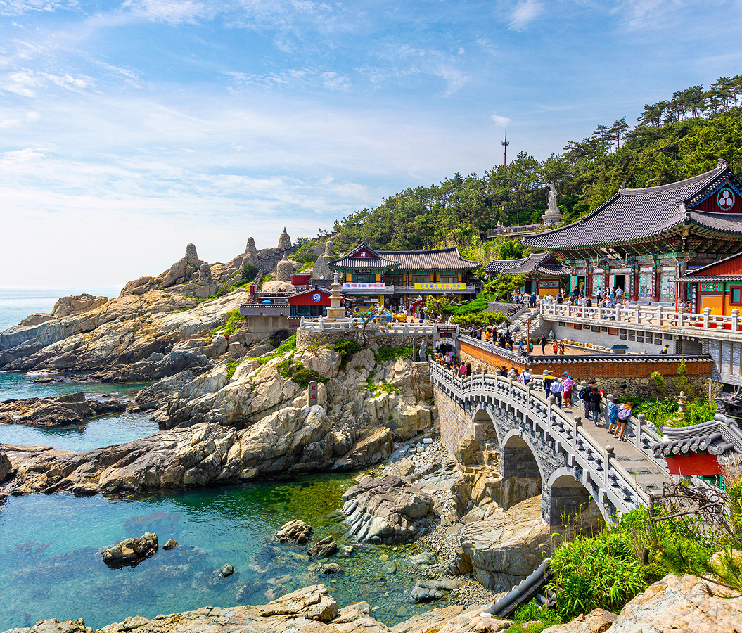
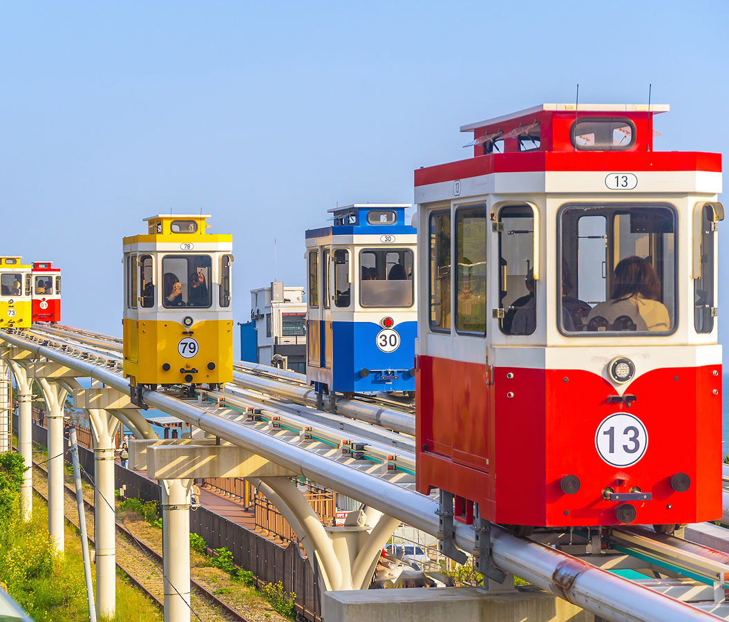
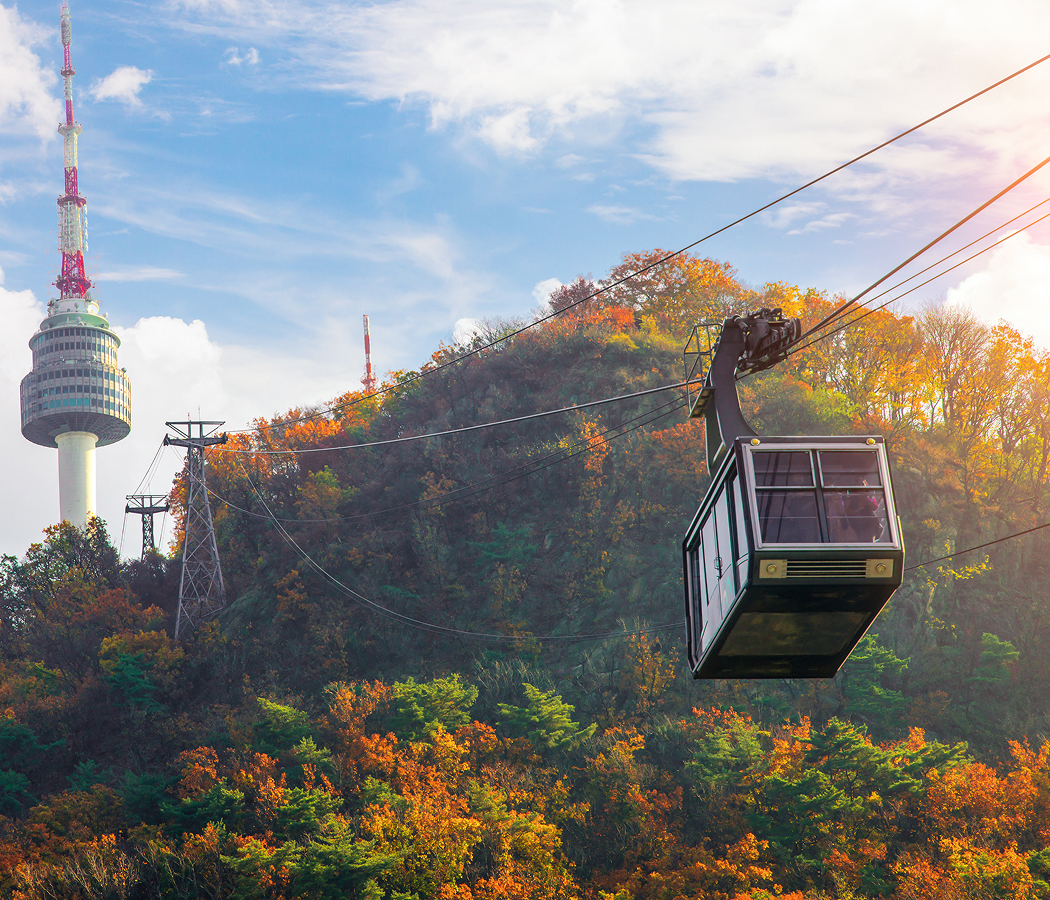
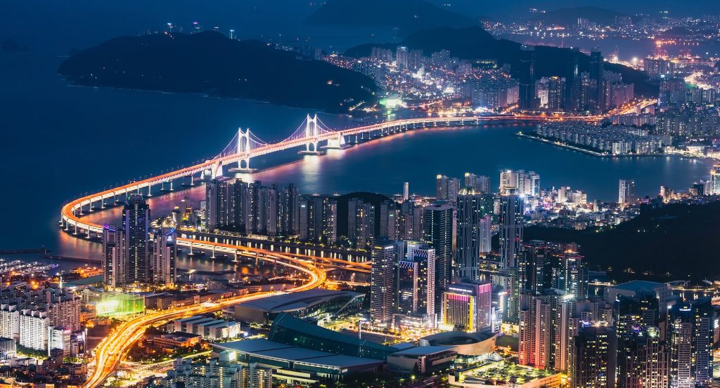
Following a 4.8-kilometer coastal corridor between Mipo and Songjeong, Haeundae Blueline Park traces the eastern edge of Haeundae Bay through the rocky headlands of Cheongsapo and the wooded slopes approaching Gudeokpo, with Haeundae Beach extending southwest and the East Sea opening across the railway's seaward side. The attraction incorporates a restored railway alignment whose tracks follow a sequence of cuttings, embankments, and elevated sections constructed along the irregular coastline. Its Beach Train operates at ground level, passing through coastal stations distinguished by broad platforms, glass-fronted waiting areas, and open views toward the water. Above the western section, the Sky Capsule system travels along an elevated guideway supported by concrete columns, creating a separate route between Mipo and Cheongsapo. The small capsule vehicles feature rounded bodies, expansive windows, and brightly colored exterior panels that distinguish them against the surrounding vegetation and sea. Pedestrian paths follow portions of the former railway corridor, connecting viewing platforms, rocky shoreline access points, and small commercial facilities near the stations. The route's eastern sections pass through quieter residential and fishing districts, where low-rise buildings and sheltered coves preserve the coastal character of northeastern Busan. The result is a distinctive railway landscape whose restored infrastructure and contemporary transport systems connect the city's historic coastal geography with an extensive network of recreational spaces.
What defines Haeundae Blueline Park.
Haeundae Blueline Park is best known for transforming a disused section of the Donghae Nambu Line into a coastal railway attraction, preserving an important transportation corridor that once connected Busan with the industrial and port cities of southeastern Korea. The railway's origins belong to the Japanese colonial period, when transportation infrastructure expanded across the Korean Peninsula to support industrial production, military logistics, and the movement of agricultural commodities. Construction of the Donghae Nambu Line developed through the early twentieth century, establishing a connection between Busan and the eastern coastal settlements extending toward Ulsan and Gyeongju. The route between Busan and Ulsan entered service in 1935, creating a railway corridor whose coastal sections passed through Haeundae, Cheongsapo, and Songjeong. Its alignment followed the natural contours of the shoreline, requiring substantial engineering work through rocky terrain and steep coastal slopes. During the decades following Korea's liberation in 1945, the line supported regional passenger movement and the economic development of southeastern Korea. The railway became particularly important as Busan expanded into a major industrial and maritime center, connecting residential communities with employment districts and regional commercial destinations. Haeundae Station developed into an important transportation point for passengers traveling between Central Busan and the eastern coastline. The railway's coastal alignment also became associated with the district's growing reputation as a seaside destination, providing views across Haeundae Bay and the fishing communities of Cheongsapo. The modernization of the Donghae Nambu Line eventually required substantial changes to its original infrastructure. South Korea's national railway authorities pursued electrification, double tracking, and the construction of new alignments to improve regional transportation capacity. These projects formed part of a broader effort to integrate the southeastern railway network with the expanding metropolitan transportation systems of Busan and Ulsan. In December 2013, a new inland alignment opened between Bujeon and Gijang, replacing the historic coastal section through Haeundae and Songjeong. The change removed regular railway operations from the original shoreline corridor, leaving several kilometers of track available for redevelopment. Busan Metropolitan Government subsequently pursued a preservation strategy that would retain the route's historical transportation character and develop public access to the coastline. The redevelopment project incorporated the restoration of railway infrastructure, construction of new stations, and installation of a separate elevated capsule system along the western section.
How Haeundae Blueline Park fits.
Haeundae Blueline Park works as the centerpiece of an exploration connecting Busan's historic fishing settlements, the preservation of its coastal railway infrastructure, and the geological landscape of the city's eastern shoreline.
Begin at Cheongsapo Port, the traditional fishing harbor occupying a sheltered inlet along the coast east of Haeundae Beach. The settlement developed around small-scale fishing and maritime commerce, preserving a close relationship between the surrounding residential streets and the waters of the East Sea. Its harbor entrance is distinguished by two lighthouses, one red and one white, whose contrasting colors create a recognizable feature of the coastal landscape. Fishing vessels occupy the sheltered waters, and seafood restaurants line the nearby streets, connecting the harbor's working traditions with the culinary culture of northeastern Busan. The surrounding shoreline contains exposed rock formations and narrow coastal passages, preserving the physical character of the district before the expansion of large-scale waterfront development. Continue to Cheongsapo Daritdol Observatory, the elevated coastal walkway extending above the rocky shoreline east of the harbor. Opened in 2017, the observatory projects outward from the coastal cliffs, providing expansive views across the East Sea and the surrounding geological formations. Its name derives from the Korean term daritdol, associated with a sequence of rocks extending from the shoreline toward the water. The structure incorporates transparent floor sections that reveal the sea below, creating a direct visual connection with the coastal environment. Its elevated position provides views toward passing fishing vessels, the surrounding headlands, and the changing patterns of waves across the exposed rocks. Conclude at Songjeong Beach, the broad sandy shoreline occupying the eastern terminus of the restored railway corridor. The beach developed as a coastal destination through the expansion of Busan's transportation network and the growing popularity of seaside recreation during the twentieth century. Its gently curving shoreline and comparatively sheltered waters contributed to the development of a substantial surfing community, with surf schools and equipment shops occupying the surrounding streets. The beach's northern edge connects with the wooded coastal landscape of Jukdo Park, whose elevated paths provide views across Songjeong Bay. The progression moves from Cheongsapo Port's fishing heritage through Cheongsapo Daritdol Observatory's coastal geology and culminates at Songjeong Beach's maritime recreation, connecting Haeundae Blueline Park with the historical and physical development of northeastern Busan.
Where your story begins.
Foresyte Travel reveals places that feel extraordinary long before you arrive.
Enjoy editorial crafted for luxury travelers.