
Why Mākena State Park matters.
Mākena State Park is a protected coastal landscape where South Maui's volcanic wilderness meets the ancestral heritage of Honuaʻula, the preservation of one of Hawaiʻi's largest undeveloped white-sand beaches and the dramatic geological formations of Haleakalā's southwestern shoreline.
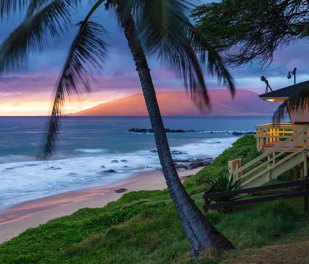
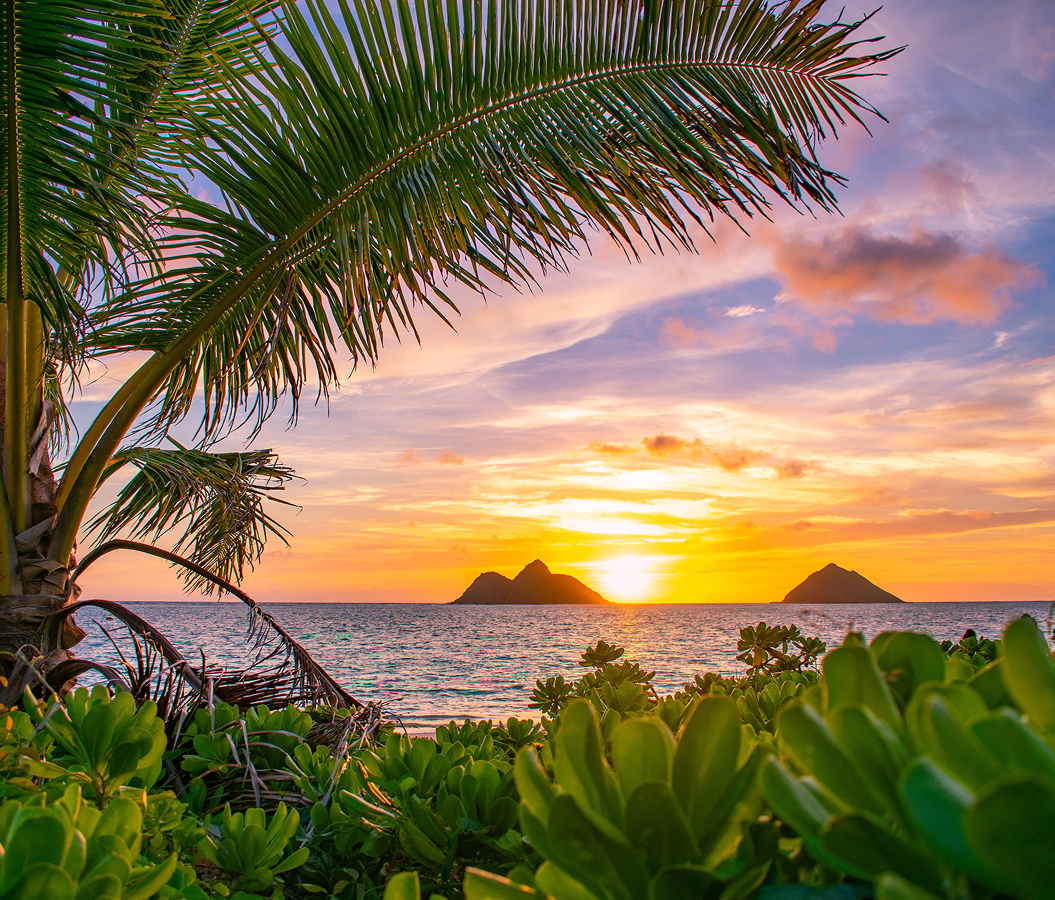
Extending along Maui's southwestern coast beyond Wailea's resort district, Mākena State Park occupies the shoreline south of Mākena Road and west of the Piʻilani Highway corridor, with Puʻu Olaʻi rising between Oneloa and Puʻu Olaʻi Beach and Kahoʻolawe visible across the ʻAlalākeiki Channel. Its principal beach stretches two-thirds of a mile beneath a broad coastal terrace, with pale sand descending toward powerful Pacific shorebreak and turquoise water. The prominent volcanic cone of Puʻu Olaʻi rises above the northern end of the beach, its steep slopes covered in reddish-brown cinders and sparse dryland vegetation. Dark lava outcrops divide the park's sandy coves, creating a succession of distinct shoreline environments shaped by ancient eruptions and marine erosion. Inland, kiawe trees and dry coastal vegetation occupy the sandy backshore, and informal paths connect parking areas with the surrounding beach landscape. The result is a substantial protected shoreline whose expansive sand, volcanic headlands and undeveloped coastal terrain preserve one of South Maui's most distinctive natural environments.
What defines Mākena State Park.
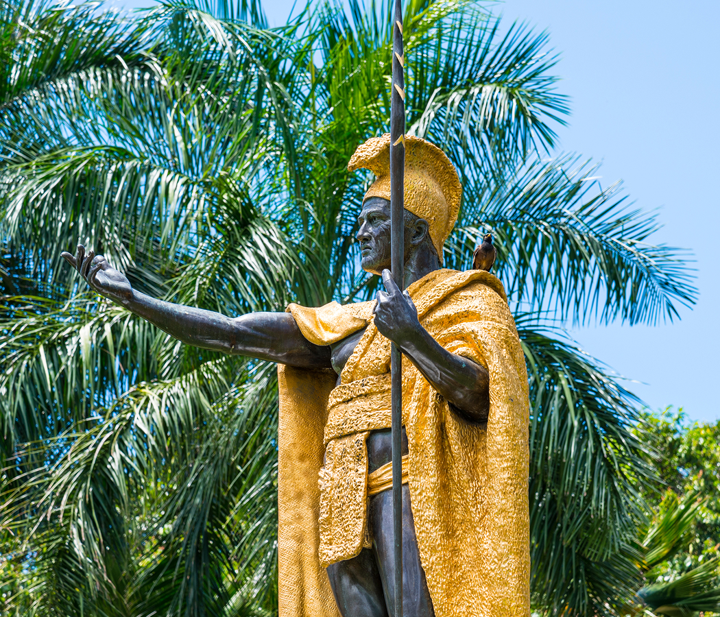
Mākena State Park is best known for preserving the broad shoreline of Oneloa, commonly called Big Beach, and the prominent volcanic formation of Puʻu Olaʻi within the traditional Hawaiian district of Honuaʻula. The park occupies a landscape whose human history predates European contact by centuries, when Hawaiian communities maintained coastal fishing settlements connected to agricultural lands on Haleakalā's southwestern slopes. The region's dry climate encouraged the cultivation of crops in more favorable upland environments, with coastal households relying on fishing, gathering and exchange with inland communities. Mākena's shoreline formed part of a wider network of settlements extending toward Keoneʻōʻio, where ancient trails connected bays, fishing grounds and religious sites. The surrounding district became associated with the ruling chiefs of Maui, whose control over coastal resources contributed to the political and economic organization of Honuaʻula. During the late eighteenth century, the region experienced substantial political change as Kamehameha I consolidated authority over the Hawaiian Islands. The Great Māhele of 1848 subsequently transformed traditional land tenure, contributing to the consolidation of agricultural and ranching properties across South Maui. Cattle grazing expanded across the dry coastal plain, and the surrounding lands became associated with the ranching operations of ʻUlupalakua. The nearby settlement of Mākena developed into an important coastal landing during the nineteenth century, connecting ranches and agricultural producers with interisland shipping routes. Boats transported livestock, agricultural products and supplies between the shoreline and other Hawaiian ports, establishing a maritime economy that preceded the construction of modern roads. The opening of the twentieth century brought further changes as motor transportation gradually replaced coastal shipping, reducing the commercial importance of the former landing. During the Second World War, military activity expanded across portions of South Maui, including amphibious training exercises conducted along the coast. The region's sandy beaches and relatively undeveloped shoreline provided conditions suitable for military operations, introducing a temporary use that altered portions of the surrounding landscape. Following Hawaiʻi's statehood in 1959, tourism and residential development accelerated along South Maui's coast, particularly through the transformation of former ranchlands into the planned resort district of Wailea. Mākena remained less extensively developed, preserving broad stretches of natural shoreline beyond the principal concentration of hotels and condominium properties. Hawaiʻi established Mākena State Park in 1989, formally protecting 165 acres of coastal land for public recreation and conservation. The designation preserved Oneloa and its adjoining volcanic headlands within the state park system, establishing public management of one of Maui's largest sandy beaches. The park subsequently became a major destination for swimming, sunbathing, coastal walking and landscape photography, with its relatively undeveloped character distinguishing it from the landscaped resort beaches farther north. Its popularity also brought increasing concerns about shoreline safety, particularly because powerful shorebreak conditions create substantial risks for swimmers entering the water. Hawaiʻi's Department of Land and Natural Resources introduced a revised entrance and parking fee system in April 2021, charging nonresidents for access and vehicle parking. The system followed broader efforts to manage heavily visited state parks and direct visitor revenue toward maintenance and conservation. In 2023, the state introduced further improvements to visitor management and public facilities, addressing the pressures associated with sustained recreational use. Mākena State Park preserves an important chapter in South Maui's history, connecting ancient Hawaiian coastal settlement, nineteenth-century ranching and maritime commerce, wartime military activity and the modern conservation of public shoreline landscapes.
How Mākena State Park fits.
Mākena State Park works as the centerpiece of an exploration connecting South Maui's Hawaiian religious heritage, its historic maritime settlements and the protection of the island's youngest volcanic coastal landscapes.
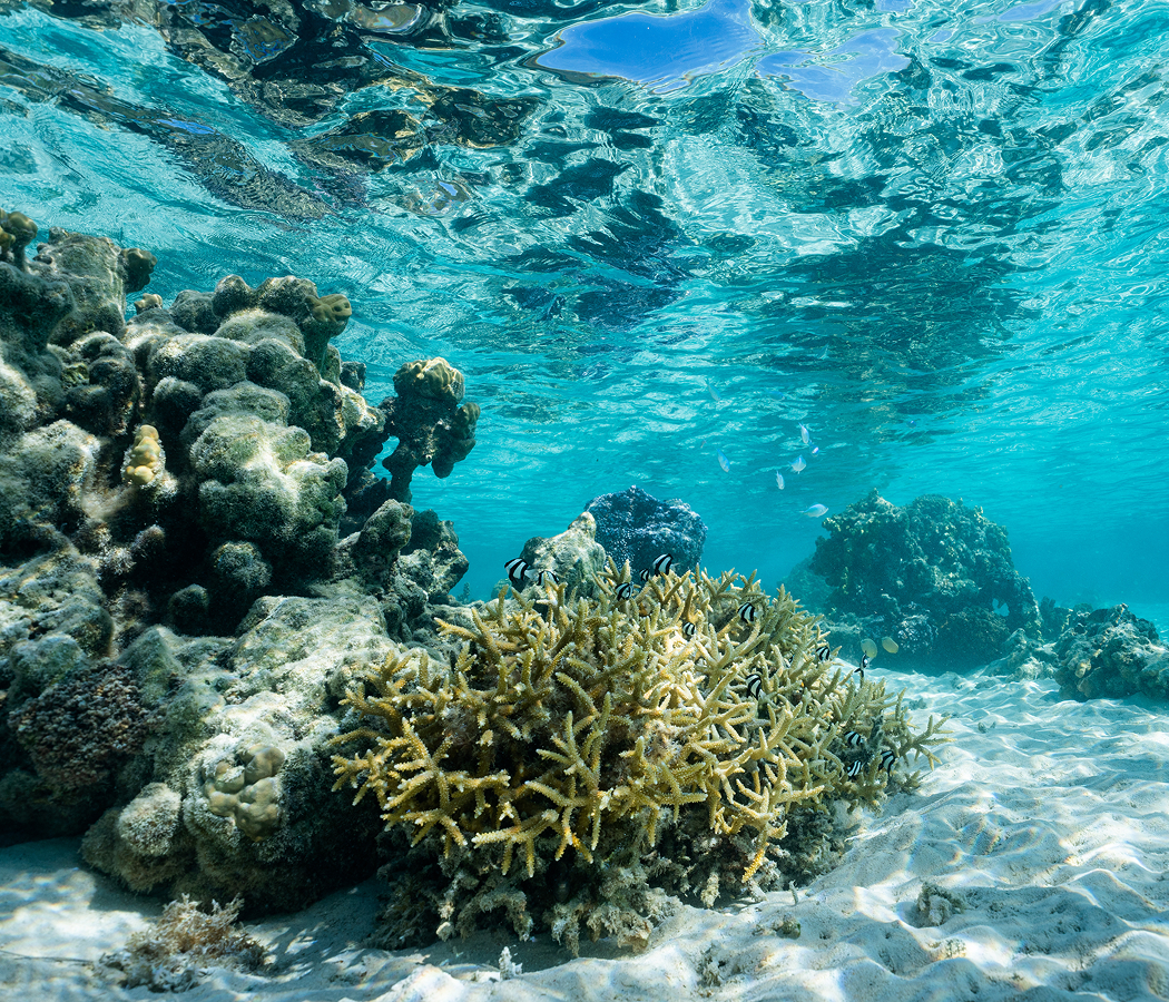
Begin at Keawalaʻi Congregational Church, the historic Hawaiian Christian congregation established in 1832 as the Church of Honuaʻula. Its original place of worship was constructed from pili grass, and the congregation subsequently developed a substantial stone church using locally gathered lava rock and coral-based mortar. The surviving building dates to the nineteenth century and incorporates thick masonry walls, a shingled gable roof and a bell tower above its principal entrance. In 1856, the congregation's Sunday school raised $70 to purchase a church bell from the United States, which arrived in January 1860 and was installed in February 1862. The church preserves a continuing relationship with Hawaiian-language worship, traditional music and the religious heritage of South Maui's coastal communities. Continue to Mākena Landing, the historic coastal access point whose sheltered bay supported transportation and commerce along Maui's southwestern shoreline. The landing developed into an important maritime connection for agricultural and ranching communities occupying the slopes above Mākena, including the cattle operations associated with ʻUlupalakua Ranch. Coastal vessels carried livestock, agricultural products and supplies between South Maui and other Hawaiian ports before modern roads transformed the island's transportation networks. The surrounding bay retains its volcanic shoreline, with rocky coastal margins enclosing relatively sheltered waters used for small-boat launching and marine recreation. Its position along the coast preserves a geographical connection between the inland agricultural districts and the maritime routes that supported their commercial development. Conclude at ʻĀhihi-Kīnaʻu Natural Area Reserve, the protected volcanic and marine landscape established in 1973 as Hawaiʻi's first Natural Area Reserve. Its boundaries encompass 1,238 acres of terrestrial habitat and 807 acres of marine ecosystems, preserving lava fields, coastal vegetation and coral reef communities along the southernmost approaches to Mākena. The reserve contains the Kālua o Lapa lava flow, among Haleakalā's youngest eruptive formations, whose emplacement created extensive fields of dark volcanic rock across the southwestern coastline. Protected anchialine pools support specialized Hawaiian shrimp and other organisms adapted to enclosed coastal waters connected underground to the ocean. Native plant communities survive within isolated pockets of vegetation surrounded by lava, including naio, wiliwili and Hawaiian cotton. The reserve's marine protections extend into adjacent reef habitats, where restrictions on fishing and the disturbance of natural features support the preservation of native aquatic species. The progression moves from Keawalaʻi Congregational Church's Hawaiian religious heritage through Mākena Landing's maritime history and culminates in ʻĀhihi-Kīnaʻu Natural Area Reserve's protected volcanic and marine ecosystems, connecting the cultural and geological foundations of southwestern Maui.
Where your story begins.
Foresyte Travel reveals places that feel extraordinary long before you arrive.
Enjoy editorial crafted for luxury travelers.