
Why Molokini Crater matters.
Molokini Crater is a partially submerged volcanic crater where South Maui's ancient geological history meets Hawaiian maritime traditions, the ecological richness of an offshore coral reef and the conservation of one of the Pacific's most distinctive marine sanctuaries.
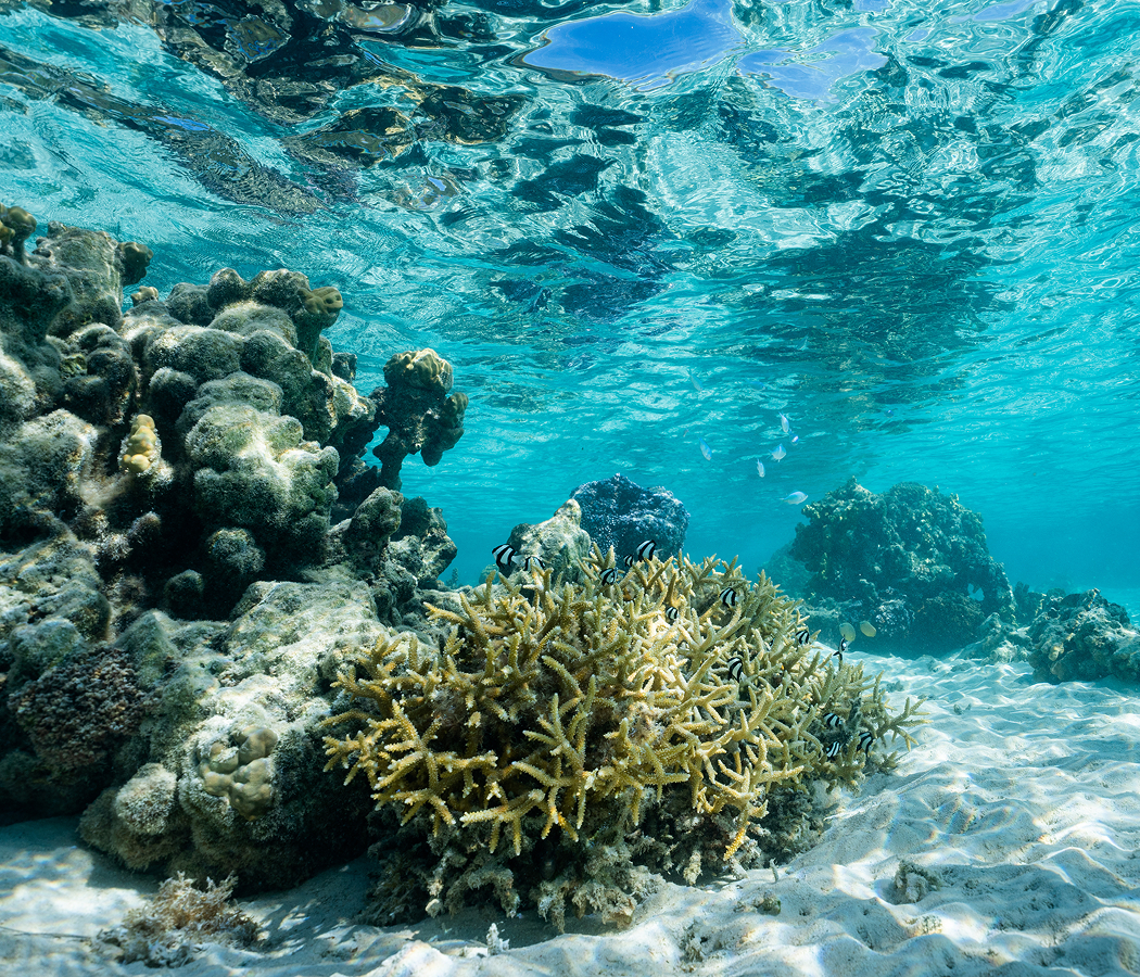
Rising from the ʻAlalākeiki Channel three miles southwest of Mākena's coastline, between Haleakalā's southwestern volcanic slopes and Kahoʻolawe, Molokini forms a crescent-shaped islet opposite Mākena State Park, with Wailea to the north and Molokini's sheltered opening facing the Maui shoreline. Its exposed southern rim curves around a submerged crater floor, creating a horseshoe-shaped formation whose highest point rises 160 feet above sea level. The outer volcanic wall descends steeply into deep Pacific waters, and the interior slopes toward a sheltered reef containing coral formations, basalt boulders and sandy patches. Yellow-brown volcanic rock distinguishes the islet from the darker lava formations along Maui's shoreline, with sparse vegetation occupying its exposed slopes. The northern opening admits seawater into the crater, creating a protected marine environment enclosed by the surviving volcanic rim. The result is an extraordinary offshore formation whose volcanic architecture, submerged reef and protected waters preserve the physical consequences of Haleakalā's ancient eruptions.
What defines Molokini Crater.
Molokini Crater is best known for its origin in an explosive volcanic eruption 230,000 years ago, when magma rising along Haleakalā's southwestern rift zone encountered shallow seawater and produced a distinctive volcanic tuff cone. The eruption occurred during a period of volcanic activity that shaped the southwestern flank of East Maui, creating offshore formations connected to the larger Haleakalā volcanic system. The interaction between molten rock and seawater generated powerful steam explosions that fragmented the erupting magma into fine volcanic debris. Rapid cooling produced abundant volcanic glass, distinguishing Molokini's deposits from the coarser material associated with many terrestrial Hawaiian cinder cones. Subsequent chemical alteration transformed portions of that glass into yellow-brown clay minerals, contributing to the islet's distinctive coloration. The volcanic cone rose 500 feet from the submarine flank of Haleakalā, establishing a substantial geological formation above the surrounding seafloor. Its original crater measured 1,770 feet across, with the northern rim subsequently eroded and submerged beneath the Pacific. The surviving southern rim created the crescent-shaped island that became an important feature of the maritime geography between Maui and Kahoʻolawe. Hawaiian communities incorporated Molokini into their traditional understanding of the surrounding ocean, and archaeological discoveries of stone fishing implements establish its use within the region's indigenous maritime culture. Hawaiian oral traditions also connect the formation to Pele, the volcanic deity, and a supernatural rivalry involving a woman named Molokini and a powerful moʻo associated with the island's transformation. These traditions preserve a cultural interpretation of the islet's unusual form within the wider mythology of Hawaiian volcanic landscapes. During the Second World War, the United States Navy used Molokini as an aerial bombing and strafing target, introducing military activity that damaged portions of the volcanic formation and surrounding marine environment. The islet's isolated position and crescent-shaped outline contributed to its selection for military exercises, and unexploded ordnance subsequently became a significant conservation concern. Commercial harvesting of black coral expanded during the mid-twentieth century, affecting colonies growing along the deeper outer volcanic wall. Hawaiʻi established the Molokini Shoal Marine Life Conservation District on July 8, 1977, introducing legal protections against the removal of most marine organisms and damage to the surrounding reef. The designation marked a major change in the management of the offshore formation, establishing its ecological importance within the state's marine conservation system. Additional restrictions on commercial boating developed as snorkeling and scuba diving increased, including a limited-entry permit system and the installation of permanent moorings to protect coral from anchors. Military ordnance disposal created another controversy in 1984, when underwater detonations threatened the surrounding reef and prompted objections from divers and conservation advocates. Subsequent efforts emphasized the removal or management of unexploded munitions with greater consideration for marine habitat. In August 2020, Hawaiʻi's Department of Land and Natural Resources decided to leave two remaining Second World War bombs in offshore waters following a federal explosives-safety assessment. The decision preserved the surrounding marine environment from the damage associated with underwater detonation. Molokini's conservation history encompasses volcanic preservation, indigenous maritime heritage, military damage, commercial extraction and the development of specialized marine protections within Hawaiʻi's offshore waters.
Where your story begins.
Foresyte Travel reveals places that feel extraordinary long before you arrive.
Enjoy editorial crafted for luxury travelers.