
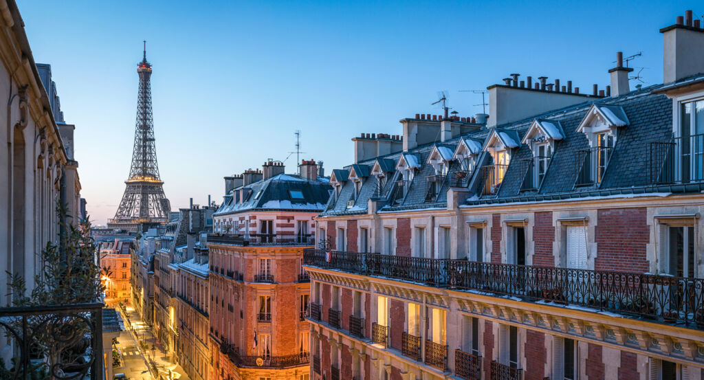
Why 13th Arrondissement matters.
13th Arrondissement is a many-layered enclave where the historic southern edge of Paris meets the Seine through former riverside industry, steep village streets, concealed traces of the Bièvre and late twentieth-century architecture that gave the Left Bank one of its most varied urban profiles.
Positioned between the Latin Quarter, Montsouris, and Ivry-sur-Seine, the neighborhood occupies a broad southeastern territory where Avenue des Gobelins and Avenue d'Italie descend toward Place d'Italie before diverging across hills, former river valleys and the long Seine frontage. Low houses and climbing streets survive around Butte-aux-Cailles, denser nineteenth-century blocks gather toward Gobelins, and the eastern riverfront opens into a larger architectural scale around Tolbiac and Bibliothèque François-Mitterrand. The concealed course of the Bièvre establishes the primary encounter through streets whose bends still follow a river that once powered mills, dye works, tanneries and workshops before disappearing underground during the early twentieth century. Butte-aux-Cailles supplies a distinct secondary mechanism through sloping streets, small houses and former workers' settlements occupying high ground above the old river valley, preserving an intimacy far removed from the towers farther east. The Seine completes the district's physical range as former industrial and railway territory gives way to broad quays, contemporary cultural buildings and the immense platform surrounding the national library. The result is an Arrondissement whose unusual breadth becomes its central strength, joining traces of pre-Parisian villages, industrial waterways, working-class hills and ambitious contemporary architecture within a single southeastern sweep.
What you should know 13th Arrondissement.
13th Arrondissement is best known for absorbing several historically distinct territories into Paris in 1860 and carrying their separate industrial and suburban histories into the modern city. The new Arrondissement combined parts of the former 12th Arrondissement with territory taken from Gentilly and Ivry, drawing the capital's boundary south across landscapes whose development had long followed roads, villages and the Bièvre. That river supplied one of the strongest economic mechanisms. Jean Gobelin established himself in the Faubourg Saint-Marcel in 1443, and his family's success in scarlet dyeing drew other dyers toward the water during the second half of the fifteenth century. Henri IV expanded that concentration during the early seventeenth century by installing Flemish mosaic makers Marc de Comans and François de la Planche in buildings associated with the Gobelin family. Colbert purchased the property for the Crown in 1662 and placed Charles Le Brun at the head of workshops bringing painters, mosaic makers, goldsmiths, founders, engravers and cabinetmakers into the same royal manufacturing center. Le Brun supplied compositions for cycles including Les Éléments, Les Saisons, L'Histoire d'Alexandre and L'Histoire du Roi, tying artistic production beside the Bièvre directly to the visual program of Louis XIV's monarchy. Jean Jans's high-warp workshop survives from the earliest royal phase, and the Saint-Louis chapel followed in 1723 for the mosaic workers. Eugène Chevreul later worked in the dyeing facilities during the nineteenth century, extending the district's connection between textile production and scientific investigation into color.
Twentieth-century expansion produced a separate eastern Paris whose scale departed dramatically from the older fabric near the Bièvre valley. Industrial land, railway installations and warehouses had occupied extensive territory along the Seine, creating large parcels that opened possibilities for rebuilding as manufacturing retreated. The decisive cultural intervention arrived after François Mitterrand announced a new national library on July 14, 1988. An international competition followed, and Dominique Perrault's proposal was selected in August 1989 for a riverside site covering 7.5 hectares. Four 22-story towers rose around a 9,000-square-meter central garden, with more than 200 linear kilometers of storage incorporated into the complex. The project was inaugurated in 1995, the public study library opened in December 1996, and the research library followed in October 1998. Perrault conceived the vast horizontal platform and four glass towers as an urban intervention capable of establishing a new district along the Seine, and subsequent university and cultural construction extended that ambition across Paris Rive Gauche. The eastern 13th consequently acquired a second metropolitan center beside the older Gobelins and Place d'Italie territories, placing one of France's largest cultural projects on ground previously associated with industry, freight and railway infrastructure.
How 13th Arrondissement fits.
13th Arrondissement works as the anchor for a daytime exploration connecting an elevated nineteenth-century battlefield, an Art Nouveau swimming complex fed by deep underground water and a small residential quarter created from the flood-prone landscape of the former Bièvre.
Begin at Butte-aux-Cailles, where elevated ground above the Bièvre valley became a strategic position during the Paris Commune of 1871. Federated forces commanded by Jarosław Dąbrowski and Walery Wróblewski incorporated the hill into the southern defenses, and some twenty cannon fired toward Versaillais positions as government forces advanced into Paris during the final days of May. On May 25, the brigades of Lian and Osmont approached across railway territory and the Bièvre ravines, forcing Wróblewski's troops from the hill after thirty-six hours of fighting and binding the quiet residential heights to one of the Commune's final military episodes. Continue to Piscine de la Butte-aux-Cailles, where Louis Bonnier completed an Art Nouveau swimming and bathing complex in 1924 on the site of baths established in 1908. François Arago had conceived the artesian well drilled there in 1893, tapping the Albian aquifer hundreds of meters below Paris and delivering water at 25 degrees Celsius that originally supplied the baths and pool. Bonnier covered the principal basin with a soaring vaulted structure, creating the third public swimming pool built in Paris; heritage protection followed in 1990, and the old well now feeds the fountain on Place Paul-Verlaine. Conclude at Cité Florale, created in 1928 on low ground near the former Bièvre where recurring flooding prevented heavier construction. Small houses with individual gardens filled the site, and its streets took botanical names including Rue des Glycines, Rue des Orchidées, Rue des Volubilis and Rue des Liserons, translating a difficult former floodplain into an unusually coherent residential pocket. The earlier landscape had even supported winter ice harvesting when inundated meadows froze, connecting the later garden quarter with the hydrological conditions that had shaped southern Paris long before its construction. The progression moves from Wróblewski's fortified hill through Bonnier's architecture built around artesian water into a residential quarter determined by the former Bièvre floodplain, revealing how topography and water repeatedly directed the political, architectural and domestic development of the 13th Arrondissement.
Where your story begins.
Foresyte Travel reveals places that feel extraordinary long before you arrive.
Enjoy editorial crafted for luxury travelers.
Foresyte may earn a commission when you book.














































































































