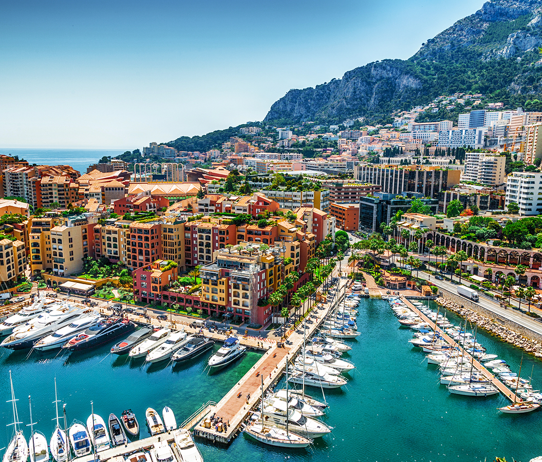
Why you should experience Cimiano in Milan, Italy.
Cimiano is a historic enclave where a former rural commune on Milan's northeastern approach meets the compact streets, residential blocks and metropolitan corridors that absorbed an old village into the twentieth-century city.
Positioned between Crescenzago, Rottole, and Feltre, the neighborhood occupies a northeastern pocket where Via Padova, Via Palmanova and Via Pusiano frame streets extending across territory once divided among village houses, cultivated plots and routes toward the eastern Milanese countryside. Low houses, enclosed courts and modest older buildings survive among larger apartment complexes, producing abrupt shifts in scale that reveal the district's long passage from agricultural settlement to metropolitan quarter. Via Pusiano establishes the primary encounter through a residential axis that penetrates the older fabric before reaching the larger transportation infrastructure defining modern Cimiano. Streets branching toward Via Padova deepen the atmosphere through courtyard buildings and neighborhood commerce whose compact dimensions preserve traces of settlement predating the surrounding twentieth-century construction. The result is a neighborhood where medieval territorial origins remain readable beneath later metropolitan growth, preparing a history that begins with Cimiano as an autonomous community centuries before its absorption into Crescenzago and Milan.
What you should know about Cimiano.
Cimiano is best known for surviving as an identifiable Milanese district after more than four centuries of territorial change transformed an autonomous medieval commune into a component of Crescenzago and eventually Milan. A document dated June 6, 1287 establishes Cimiano as a commune with its own consul, placing an organized community here during the closing decades of the thirteenth century. The 1346 statutes governing roads and waterways of the Milanese contado assigned “el locho da Cimiano” responsibility for maintaining part of the strata da Vimarcate and placed the settlement within the Pieve di Bruzzano. Ducal fiscal organization still retained Cimiano within the same pieve in 1558 and through subsequent seventeenth-century revisions. The community contained 250 inhabitants in 1751, with a consul and leading landholders managing local affairs under the jurisdiction of Milan's podestà. Maria Theresa's territorial reorganization ended Cimiano's municipal independence in 1757 by joining it to Crescenzago, creating a combined municipality that contained 843 inhabitants in 1771. Revolutionary restructuring moved Crescenzago with Cimiano through the districts of Sesto San Giovanni, Pioltello and Milan after 1798, and the combined commune counted 681 residents in 1805. Napoleonic government suppressed Crescenzago in 1808 and incorporated its territory into Milan, then Austrian rule restored the municipality in 1816 with Cimiano still attached as a frazione. Crescenzago reached 7,125 residents by 1921 before incorporation into Milan in 1923 completed Cimiano's passage from medieval commune to metropolitan neighborhood.
Rapid transit supplied a separate mechanism during the postwar decades as the northeastern corridor became one of the first sectors reached by Milan's second metro line. Via Palmanova already carried the linee celeri dell'Adda, the interurban tram services running toward Vaprio and Cassano, when Cimiano station opened on May 26, 1969 for the surface tram alignment. Metro operation followed on September 28 with activation of the first M2 section between Caiazzo and Cascina Gobba, placing Cimiano on a route connecting the northeastern outskirts directly with Centrale, Loreto and the inner city. The station occupied the surface alignment between Via Palmanova, Via Don Giovanni Calabria and Via Pusiano, preserving the transportation corridor already established by the Adda services. Interurban trams continued using the infrastructure beside metro trains until December 4, 1972, when their operation ended and Cimiano became exclusively an M2 station. Extension of the metro farther into the Adda corridor converted a route historically oriented toward eastern settlements into part of Milan's metropolitan rapid-transit network. Residential construction around Via Palmanova and Via Pusiano intensified the physical integration of the former village territory into the surrounding city during the same postwar era. Cimiano's metropolitan connection consequently emerged through successive transportation systems occupying the same northeastern axis, carrying an old road territory from interurban tram service into the rapid-transit geography of modern Milan.
How to fold Cimiano into your trip.
Cimiano works as the anchor for an afternoon connecting the surviving church of a medieval rural settlement, a cascina tied for centuries to the Pinacoteca Ambrosiana and a vast twentieth-century park designed around the agricultural landscape of the Lambro.
Begin at Chiesa dei Santi Re Magi, among the surviving remnants of Corte Regina, a rural settlement known from the twelfth century near the old borgo of Cimiano. The church appears during the fourteenth century under a dedication to Santa Maria, later became associated with the Nativity of Mary and carried the Re Magi dedication by 1704; sale to the state near the end of the eighteenth century led to conversion into agricultural housing and removal of its apse and sacred hall, then wartime bombing damaged the campanile before Don Giuseppe Del Corno secured the building and its restoration culminated in reconsecration on January 6, 1967. Continue to Cascina Biblioteca, whose documented history reaches the sixteenth century and whose foundation has been connected with the Umiliati tradition of land reclamation and wool production around medieval Milan. The property later passed to Cardinal Federico Borromeo, who left it to the Pinacoteca Ambrosiana he had founded, directing income from the estate toward daily masses in his memory and dowries for eighteen poor young women annually; ownership by the Ambrosiana endured for more than three centuries and supplied the cascina with the name it retains. Conclude at Parco Lambro, created in 1936 from Enrico Casiraghi's design as a 773,000-square-meter landscape organized around the river, irrigation channels and agricultural character of the Lombard countryside. Casiraghi formed three artificial hills, two lakes and a system of avenues extending about four kilometers, then wartime demand for firewood devastated much of the planting before Romano Beretta and Milan's technical office directed reconstruction and expansion during the 1950s and 1960s. The Isola and Molina channels still traverse the park, with the latter historically feeding two local mills, preserving water engineering inside the immense postwar green space. The progression moves from the medieval religious center of Corte Regina through an agricultural estate bound to Federico Borromeo's Ambrosiana into Casiraghi's twentieth-century reinterpretation of the Lambro countryside, joining three surviving chapters of the rural territory from which Cimiano emerged.
Where your story begins.
Foresyte Travel reveals places that feel extraordinary long before you arrive.
Experience premium editorial crafted for luxury travelers.