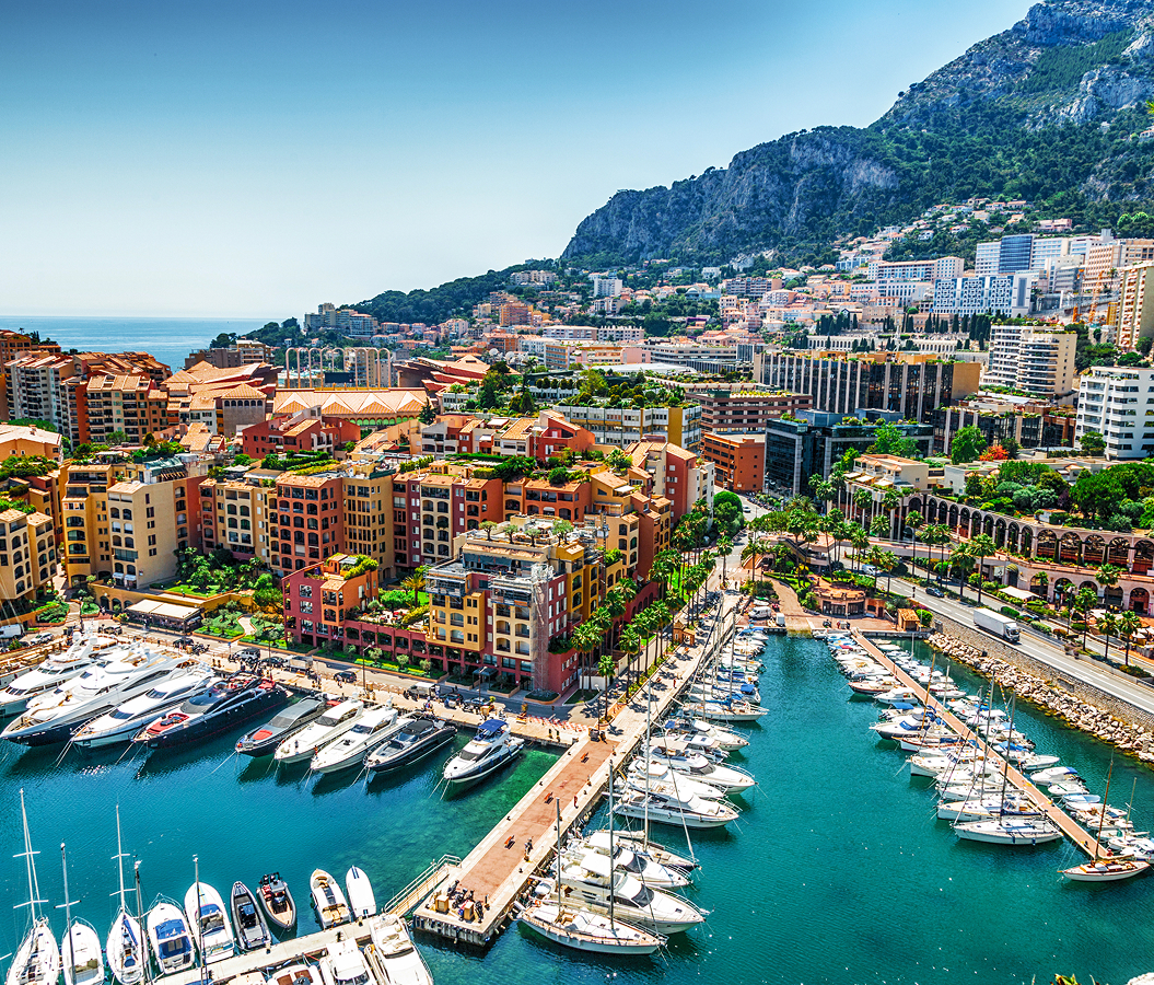
Why you should experience Dergano in Milan, Italy.
Dergano is a storied enclave where a medieval village on the old road to Como meets compact working-class streets, former workshops and the northern metropolitan fabric that grew between Bovisa and the Comasina corridor.
Positioned between Bovisa, Affori, and Maciachini, the neighborhood occupies a northern pocket where Via Livigno and Via Ciaia gather around Piazza Dergano before Via Imbonati carries the surrounding city toward the historic Comasina route. Ringhiera houses, compact apartment blocks, converted workshops and narrow internal streets preserve pronounced changes in scale between the old nucleus and the heavier metropolitan corridors surrounding it. Piazza Dergano establishes the primary encounter through a small village center whose dimensions remain legible despite the dense city built around it. Streets extending through Via Guerzoni, Via Brivio and Via Ciaia deepen the atmosphere through residential and artisan fabric that developed incrementally across former agricultural ground. The result is a neighborhood where the proportions of an independent community survived incorporation into industrial Milan, preparing a history that reaches from a medieval commune through nineteenth-century population growth and the productive expansion of the northern city.
What you should know about Dergano.
Dergano is best known for developing from an autonomous medieval community on the northern road from Milan into a densely inhabited district absorbed through Affori during the metropolitan expansion of the early twentieth century. A document dated June 26, 1283 establishes Dergano as a commune with its own consul, placing organized local government here more than six centuries before incorporation into Milan. The 1346 statutes governing the roads and waterways of the Milanese contado assigned “el locho da Dergano” responsibility for maintaining the strada da Dergano within the Pieve di Bruzzano, connecting the settlement directly with the historic route toward Como. Dergano and Derganino contained 236 inhabitants in 1751, rising to 395 by 1771 as the agricultural community remained within the Duchy of Milan. Revolutionary reorganization placed Dergano successively in the districts of Sesto San Giovanni, Bollate and Milan after 1798, and the Kingdom of Italy counted 403 inhabitants there in 1805. Napoleon incorporated the commune into Milan in 1808, but Austrian government restored its autonomy in 1816. Population reached 854 in 1853 and 930 after Italian unification in 1861, demonstrating substantial growth before the rural municipality lost its independence. A royal decree of December 24, 1868 joined Dergano to Affori, creating the territorial relationship that governed its final approach toward metropolitan Milan. Affori itself was incorporated into the city in 1923, carrying the former commune inside Milan after centuries in which the old northern road had supplied the settlement with its principal geographic connection.
Industrial expansion then changed the economic character of the territory around the former village as factories and artisan businesses accumulated between Dergano, Bovisa and the northern railway corridors. Milan's railway belt and Scalo Farini constrained growth to the south, and the road network developed through the Beruto, Pavia-Masera and Albertini plans progressively linked the old radial routes of Bovisasca and Comasina. Productive and residential construction filled agricultural land between those axes during the first decades of the twentieth century, eventually joining Dergano physically with Bovisa. Mechanical engineering became a major presence through companies including Ceretti & Tanfani, whose production belonged to the industrial concentration spreading across the northwestern sector. Chemical manufacturing around Candiani and pharmaceutical production associated with Carlo Erba strengthened a wider productive belt in which factories stood beside workers' housing and smaller workshops. Artisan activity remained embedded within Dergano even as large industrial plants elsewhere in the northern sector contracted during the 1970s, leaving a finer mixture of workshops, residences and reused productive buildings around the historic nucleus. M3 supplied another major change when Dergano station opened on March 26, 2011 with the extension from Maciachini to Comasina, connecting the old village directly with Milan's rapid-transit network. The district that had once depended on a road toward Como consequently entered the twenty-first-century city through an underground route following the same broad north-south metropolitan relationship that had shaped Dergano since the Middle Ages.
How to fold Dergano into your trip.
Dergano works as the anchor for an afternoon connecting a centuries-old parish rebuilt during the Second World War, an infectious-disease hospital converted into public green space and a botanical institution commemorating a pioneer of women's agricultural education.
Begin at Chiesa di San Nicola Vescovo in Dergano, whose predecessor was established near an ancient cemetery soon after the year 1000 and appears as a chapel dependent on Bruzzano in 1398. Carlo Borromeo elevated San Nicola to parish status in 1564, Federico Borromeo consecrated a bell there in 1604 and repeated enlargements carried the old building into the twentieth century before Cardinal Ildefonso Schuster's church-building campaign brought architect Dino Zanotta to Dergano. The first stone of the present church was laid on June 3, 1939, and Schuster consecrated it on May 9, 1941; wartime shortages eliminated Zanotta's projected dome, campanile and entrance portico, leaving the brick building as a direct architectural product of its construction period. Continue to Parco Nicolò Savarino, occupying ground acquired by Milan at the end of the nineteenth century around Villa Hanau for the Agostino Bassi infectious-disease hospital. Six specialized pavilions treated patients with smallpox, tuberculosis, cholera and meningitis, and a narrow-gauge Decauville railway carried movement through the complex before medical use ended during the 1970s and the former hospital grounds became parkland. Conclude at Museo Botanico Aurelia Josz, inaugurated in 2015 across 24,000 square meters and dedicated to the educator who founded Italy's first practical agricultural school for women in Milan in 1902 before transferring it to Niguarda in 1904. Josz refused the Fascist oath after her school closed in 1931, remained in Italy after the 1938 racial laws and died at Auschwitz-Birkenau in 1944; the institution carrying her name now develops botanical collections devoted to Po Valley plant communities and Lombard agricultural history. The progression moves from a medieval parish reconstructed under Schuster through the medical complex created to confront epidemic disease into an institution preserving Aurelia Josz's educational legacy, connecting three distinct chapters of religious, public-health and scientific history across Dergano's northern territory.
Where your story begins.
Foresyte Travel reveals places that feel extraordinary long before you arrive.
Experience premium editorial crafted for luxury travelers.