Why Parc Kellermann matters.
Parc Kellermann is a terraced park where Maison-Blanche's southern edge meets 1930s garden design, the buried course of the Bièvre and land reclaimed from the former Thiers fortifications.
Set along boulevard Kellermann near Porte d'Italie and just east of Poterne des Peupliers, the park occupies 5.6 hectares between the Boulevards des Maréchaux, Paris's southern boundary and the descending ground toward the former Bièvre valley. Three principal levels exploit the pronounced change in elevation across the site. An upper formal garden gives way to a broad terrace overlooking lawns, mature trees and winding paths on the lower ground. A planted basin, artificial stream, rockwork and cascade use water to organize the descent between these contrasting garden compositions. The result is a layered southern Paris park whose topography preserves traces of a vanished river valley beneath the geometry of a major 1930s public landscape.
What defines Parc Kellermann.
Parc Kellermann is best known for transforming ground associated with two vanished pieces of Paris geography, the Bièvre and the Thiers fortifications, into a major public garden during the Exposition Internationale of 1937. The river had entered Paris near Poterne des Peupliers, where centuries of human intervention had already changed its course. Medieval development split the Bièvre into distinct channels, and the artificial Bièvre vive eventually ran one to three meters above the original riverbed across part of the 13th Arrondissement. Mills, dyers, tanners and other water-dependent trades accumulated farther upstream and through the valley as the river became progressively integrated into industrial Paris. Sanitary problems prompted the city to cover successive sections, with the southern reaches disappearing underground during the early twentieth century. Another barrier occupied the same territory after construction of the Thiers fortifications between 1841 and 1844 created a defensive belt around Paris. Their military value faded, demolition began after World War I and former fortification land opened an immense strip for housing, recreation and greenery. Parc Kellermann emerged from that territorial conversion in 1937, joining the broader green-belt ambitions applied to portions of the former defenses. Its name follows neighboring boulevard Kellermann and commemorates François-Christophe Kellermann, the French marshal associated with the 1792 Battle of Valmy. The park occupies ground shaped first by water, then military enclosure and finally the interwar conversion of Paris's obsolete defensive perimeter into civic open space.
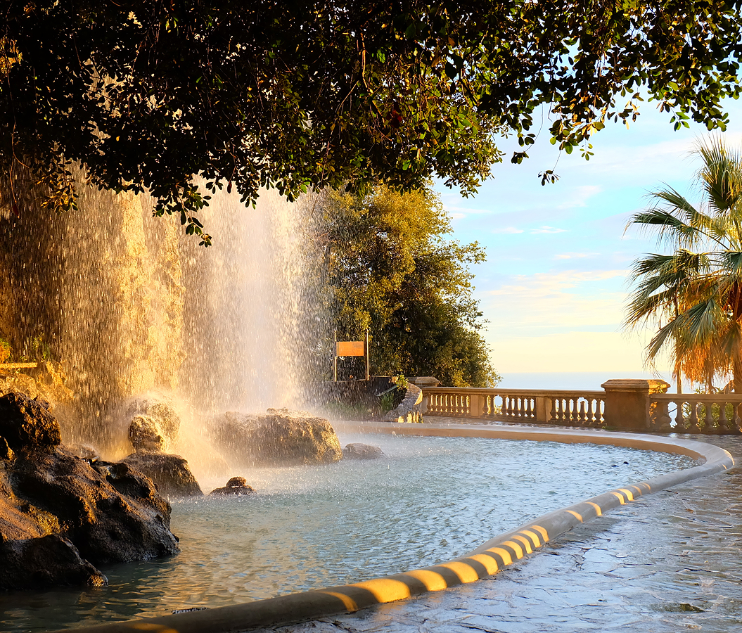
The original garden composition organized steep terrain into an Upper French-style section and a lower, less formal planted zone beneath an overlooking terrace. Geometric planting and controlled axes govern the higher ground, then stairs and sloping paths descend toward curving routes, extensive lawns and denser tree cover. Water reappears above the buried river through a decorative basin, aquatic planting, a stream and a cascade framed by paired staircases, giving the lower levels a designed hydrological sequence. World War II severely disrupted the young garden when trees planted during the 1937 creation were cut for heating fuel and portions of the ground were converted to potato cultivation. Restoration followed during the postwar years, including work in 1959, and sporting facilities arrived during the following decade. A pedagogical urban farm joined the upper portion in 2017, adding small livestock to the park's educational role. The adjoining Jardin Laure Albin Guillot opened in 2020 and underwent a second construction phase completed in 2025, when its central path created another entrance into Parc Kellermann and linked the green spaces more directly with Porte d'Italie. That extension planted eighty-one trees across its two phases and expanded the neighboring garden to 7,330 square meters. Parc Kellermann now carries the physical consequences of interwar garden building, wartime scarcity, postwar reconstruction and twenty-first-century expansion across the same steep southern terrain.
How Parc Kellermann fits.
Parc Kellermann works as the anchor for a Maison-Blanche outing connecting a garden neighborhood built over flood-prone ground, a university stadium reconstructed for modern athletics and an international residential campus conceived after World War I.
Begin at Cité Florale, constructed in 1928 on former meadowland beside the Bièvre where recurrent flooding made heavy apartment construction impractical. Small houses occupied the site, creating an unusual residential enclave arranged around a central place and short streets carrying botanical names such as Rue des Orchidées, Rue des Glycines and Rue des Iris. The surrounding Glacière district preserves another connection with the valley: winter ice from frozen low ground once entered commercial circulation elsewhere in Paris. Continue to Stade Charléty, built in 1939 after University of Paris rector Sébastien Charléty helped the Paris Université Club secure new ground following the loss of its Porte Dorée field. General Leclerc stopped there during the Liberation of Paris, and the stadium later became associated with the political gatherings of May 1968. The original complex was demolished in 1989 and rebuilt during the early 1990s by architect Henri Gaudin; its principal stadium now holds 20,000 spectators around an eight-lane athletics track. Conclude at Cité internationale universitaire de Paris, born from André Honnorat and Paul Appell's post-World War I ambition to house French and international students together. Industrialist Émile Deutsch de la Meurthe financed its first residence, whose foundation stone was laid in 1923 to a design by Lucien Bechmann inspired by English collegiate architecture. A national foundation followed in 1925, then country houses multiplied across the campus, turning architecture into a physical record of international educational exchange. The progression moves from housing adapted to the wet ground of the former Bièvre valley through interwar university sport and culminates in a residential campus conceived as an architectural instrument for international cooperation.
Where your story begins.
Foresyte Travel reveals places that feel extraordinary long before you arrive.
Enjoy editorial crafted for luxury travelers.
Foresyte may earn a commission when you book.