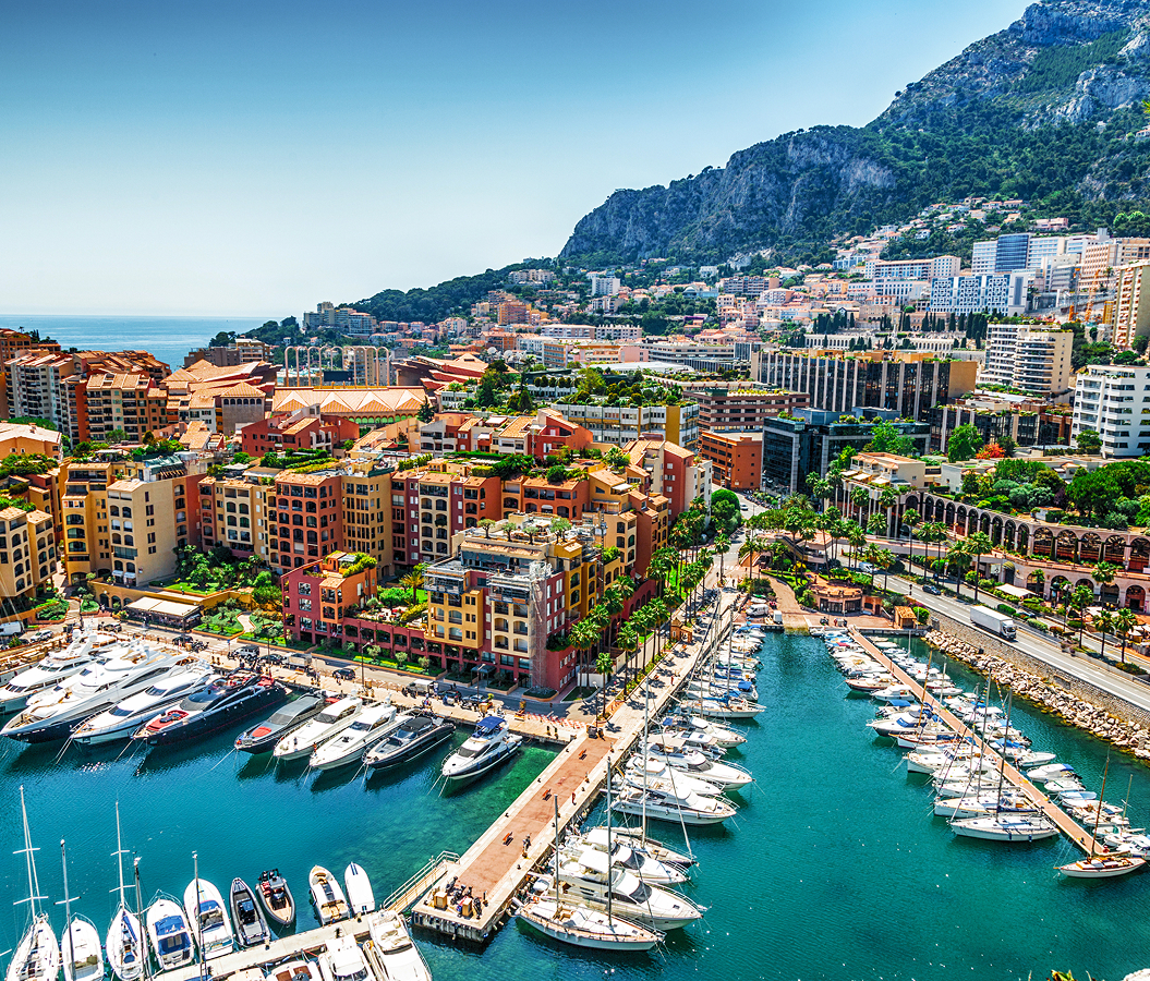
Why you should experience Ripa di Ticinese in Milan, Italy.
Ripa di Ticinese is a waterside corridor where Navigli's canal-side character meets medieval hydraulic engineering, centuries of freight traffic and the working neighborhoods that developed beside Milan's principal western waterway.
Running through Navigli between the Darsena and Via Carlo D'Adda, the elongated corridor follows the southern bank of the Naviglio Grande as the canal advances westward from Milan's historic port toward San Cristoforo. Continuous nineteenth-century houses, shallow commercial frontages and internal courtyards form a close architectural edge beside the water, punctuated farther west by larger former industrial parcels created when the canal still carried freight into the city. Pedestrian movement establishes its primary rhythm through the direct relationship between street and canal, with bridges repeatedly opening cross-water views toward the opposing Alzaia Naviglio Grande. Former workshops, ringhiera houses and surviving traces of commercial infrastructure introduce another register, preserving the physical consequences of a district built around barges, artisans, warehouses and workers. The result is a corridor where the Naviglio Grande remains inseparable from the architecture and street pattern created during centuries of waterborne commerce.
What you should know about Ripa di Ticinese.
Ripa di Ticinese is best known for forming the inhabited southern bank of the Naviglio Grande, historically distinct from the opposing alzaia used by horses towing barges toward Milan. The canal originated between 1179 and 1209 as an irrigation and defensive work drawing water from the Ticino, then acquired a larger navigable section during the thirteenth century and became the Naviglio Grande. Navigation was established by 1272 across a route extending some 50 kilometers from the Ticino to Milan, converting the waterway into a major commercial connection between the city, Lake Maggiore and territories farther north. Marble destined for the Duomo entered the same transport system from the Ossola quarries, descending through the Toce, Lake Maggiore and Ticino before barges carried it along the Naviglio Grande toward the inner-city waterways and the cathedral works. Ripa di Ticinese occupied the pedestrian and inhabited side of this commercial channel, with its name recalling the route toward Ticinum, ancient Pavia, and its building line developing beside the constant passage of boats. The Darsena reinforced the system after its seventeenth-century creation and nineteenth-century enlargement, concentrating loading, unloading and mooring at the eastern end of the Ripa. Masonry interventions from 1842 strengthened sections of the Naviglio Grande banks, and navigation remained commercially significant deep into the twentieth century even as rail and road transport eroded its earlier dominance. Barges again became important for supplying raw goods during postwar reconstruction, and freight navigation on the Naviglio Grande survived into the opening years of the 1970s. The corridor consequently developed through a physical division of labor between inhabited Ripa, towing Alzaia, navigable channel and Darsena, a system that governed movement and construction along this edge of Milan for centuries.
A separate urban chapter survives through buildings and activities created as the canal district entered post-Unification Milan. Casa Cirla at Ripa di Ticinese 65 carries an early commission by Giuseppe Sommaruga, who completed the building in 1896 before developing the architectural language associated with Palazzo Castiglioni. Its symmetrical façade combines alternating granite and plaster at ground level, a curved iron balcony, geometrically patterned tiles and a projecting cornice decorated with lion heads; internal rooms preserve carved woodwork, polychrome stucco, fireplaces and ornamental treatments anticipating elements of Sommaruga's later work. Farther west, the nineteenth-century ringhiera house at number 83 preserves five floors arranged around a U-shaped plan, with ballatoio circulation, brick load-bearing walls, vaulted cellars and timber floors characteristic of popular housing built during Milan's post-Unification expansion. Another parcel at number 115 entered sporting history after the founding of Football Club Internazionale Milano in 1908, when the new club established its first playing field beside the Naviglio. The canal bordered one short side of the pitch, requiring a person in a boat to retrieve footballs that cleared the boundary and landed in the water. Inter played there through 1912 before transferring to Via Goldoni, and the Ripa ground hosted a selection match on May 8, 1910 ahead of the Italian national team's first international fixture against France. These addresses trace the corridor's transition from canal-dependent working district into post-Unification residential Milan and the formative sporting culture of the opening twentieth century without erasing the compact building fabric inherited from its commercial past.
How to fold Ripa di Ticinese into your trip.
Ripa di Ticinese works as the anchor to an exploration of southwestern Milan through a former engineering factory converted into a museum complex, a 1950 granary adapted by one of Italy's major fashion designers and a medieval rural oratory that survived the absorption of the Lorenteggio countryside into the modern city.
Begin at Mudec Museo delle Culture, developed inside the former Ansaldo factory after the City of Milan initiated a cultural conversion of the disused industrial property in 1999. David Chipperfield Architects worked on the project from 2000 to 2015, retaining the surrounding historic factory buildings and placing the museum behind them around an internal composition whose central glazed volume organizes access to exhibition spaces; the institution opened during Expo 2015 with Milan's ethnographic collections joining temporary art and photography exhibitions inside the former manufacturing complex. Continue to Armani/Silos, where Giorgio Armani converted a granary built in 1950 into a four-level exhibition building of some 4,500 square meters. Armani opened it on April 30, 2015 to mark forty years of his career, retaining the severe industrial geometry of a structure once dedicated to food storage and using its name to connect that former purpose with clothing as another necessity of life. Conclude at Oratorio di San Protaso al Lorenteggio, the small rural church known as the Gesèta di lusért that survived as the surrounding fields disappeared beneath western Milan. Once approached through open countryside crossed by two streams, the rectangular oratory served local farming families and preserves a signed and dated 1428 image of Saint Catherine of Siena, now enclosed within the central reservation of Via Lorenteggio after repeated threats of demolition. The progression moves from Chipperfield's conversion of Ansaldo manufacturing architecture through Armani's reuse of a mid-century granary and onward to a medieval chapel preserved from the agricultural landscape, connecting industrial production, fashion culture and the rural territory absorbed by western Milan.
Where your story begins.
Foresyte Travel reveals places that feel extraordinary long before you arrive.
Experience premium editorial crafted for luxury travelers.