Why Reserva de la Biósfera Sian Ka'an matters.
Reserva de la Biósfera Sian Ka'an is an expansive tropical wilderness where Quintana Roo's Caribbean coastline meets the ancient waterways of the Maya, among Mesoamerica's most extensive protected wetland systems and an exceptional concentration of terrestrial and marine biodiversity.
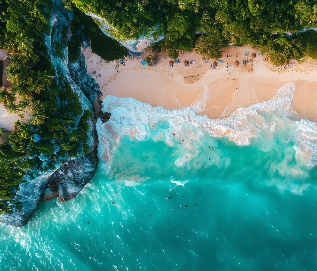
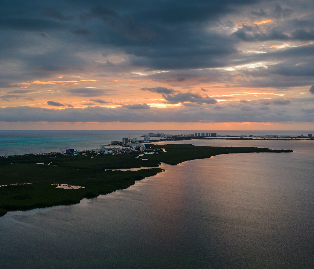
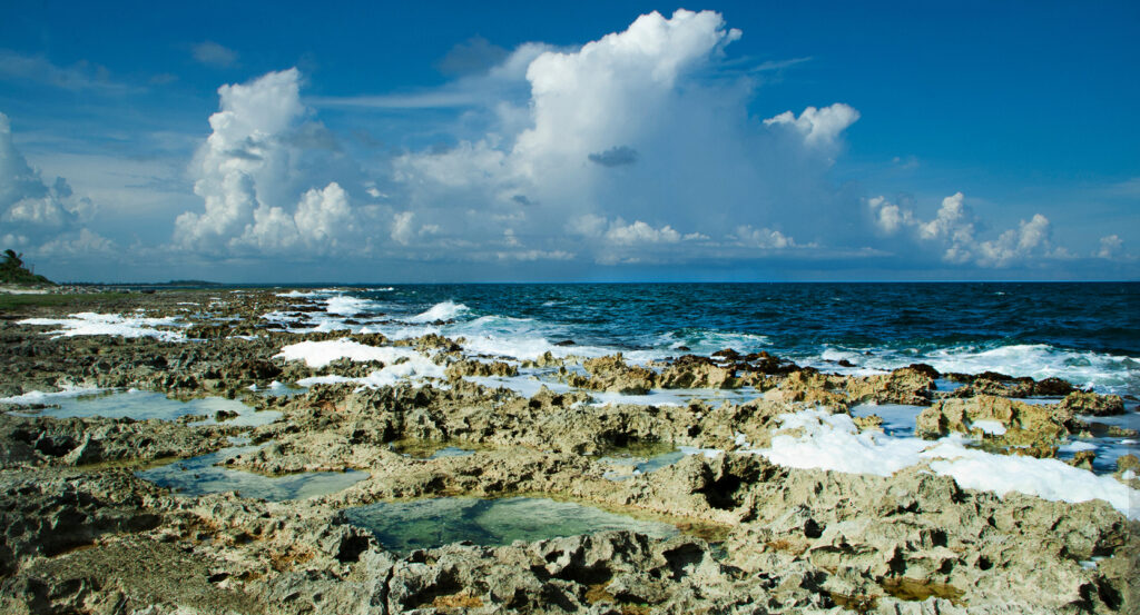
Extending southward from Tulum along the eastern Yucatán Peninsula, the biosphere reserve occupies a vast coastal landscape between the Caribbean Sea and the inland limestone forests of Quintana Roo, encompassing tropical woodland, freshwater marshes, mangrove lagoons, coastal dunes and offshore coral reefs. Shallow waterways connect broad lagoons with dense mangrove channels, creating intricate transitions between freshwater, brackish wetlands and marine environments. Barrier beaches and narrow coastal strips separate portions of the lagoon system from the open Caribbean, preserving expansive areas of undeveloped shoreline. Inland, low-lying tropical forests alternate with seasonal wetlands and limestone depressions, supporting habitats shaped by the peninsula's distinctive underground drainage. The result is a protected landscape whose ecological complexity, ancient human occupation and extraordinary diversity of connected habitats establish one of Mexico's most consequential conservation areas.
What defines Reserva de la Biósfera Sian Ka'an.
Reserva de la Biósfera Sian Ka'an is best known for protecting an immense tropical ecosystem encompassing forests, wetlands, coastal lagoons and marine habitats, and for its designation as a UNESCO World Heritage Site in 1987. The reserve was established by presidential decree on January 20, 1986, protecting 528,000 hectares of terrestrial and marine environments along the eastern Yucatán Peninsula. Its name derives from the Yucatec Maya language and is commonly translated as origin of the sky or place where the sky is born, expressing a longstanding cultural association between the region's landscape and the natural world. The protected area occupies a limestone platform formed through the accumulation of marine sediments during earlier geological periods. Subsequent changes in sea level, groundwater circulation and coastal sediment deposition produced the complex arrangement of lagoons, wetlands and barrier beaches that characterizes the reserve. The peninsula's porous bedrock allows rainfall to infiltrate underground aquifers, creating hydrological connections between inland forests and coastal wetlands. Freshwater moving through these systems eventually reaches lagoons, marshes and submarine discharge points along the Caribbean coast. The resulting gradients in salinity support distinct plant communities and aquatic habitats across relatively short geographic distances. Ancient Maya communities occupied portions of this landscape, using waterways and coastal routes to connect settlements with the broader commercial networks of the Yucatán Peninsula. Archaeological remains within the reserve preserve evidence of habitation, ceremonial activity and transportation infrastructure associated with these communities. Coastal navigation facilitated the movement of goods between settlements along the Caribbean, linking the region with maritime trading routes extending toward Central America. The reserve's establishment followed growing recognition of the ecological importance of protecting large, interconnected tropical landscapes from expanding development and resource extraction. Its 1987 World Heritage inscription recognized the exceptional biological diversity and ecological processes sustained by its forests, wetlands and coastal waters. Subsequent conservation management introduced regulations governing fishing, tourism, habitat protection and scientific activity within designated zones. The protected area also became a focal point for community-based conservation initiatives involving local residents, environmental organizations and government institutions. Sian Ka'an developed into an internationally significant example of landscape-scale conservation in which ecological protection encompasses terrestrial, freshwater and marine environments.
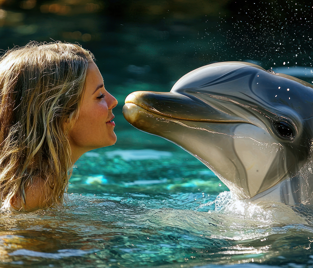
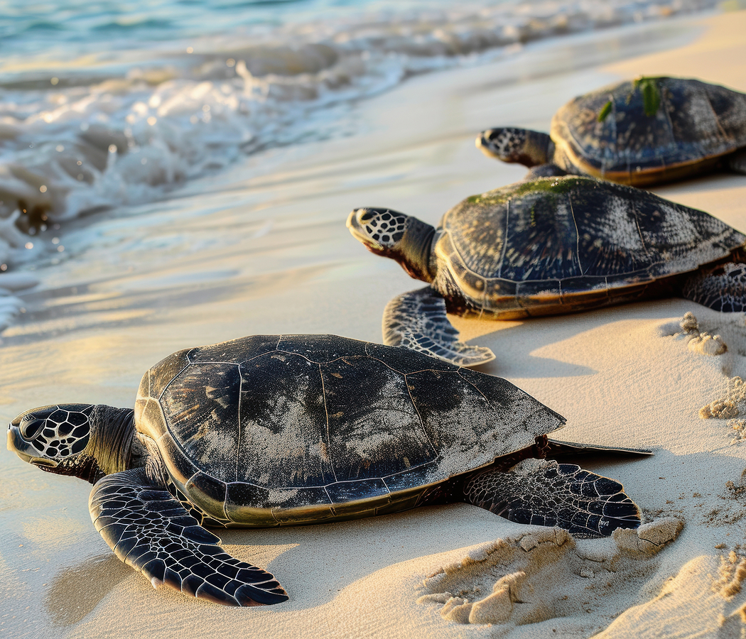
The Mesoamerican Barrier Reef System extends along the Caribbean coast of the Yucatán Peninsula and forms part of the broader marine environment associated with Sian Ka'an. Its coral communities support reef fish, marine invertebrates and larger predators, contributing to the ecological productivity of the western Caribbean. Coastal mangroves provide nursery habitats for juvenile fish and crustaceans, creating biological connections between sheltered wetlands and offshore reef systems. Red, black and white mangroves occupy different positions along the salinity gradient, with specialized root structures allowing them to survive in waterlogged coastal sediments. Their extensive root networks stabilize shorelines, retain organic material and create sheltered environments for aquatic organisms. The reserve's freshwater wetlands support emergent vegetation, shallow channels and seasonal pools that provide feeding and breeding habitats for numerous bird species. Roseate spoonbills, herons, egrets and other wading birds occupy these environments, exploiting the abundant fish and invertebrates concentrated in shallow water. American crocodiles inhabit coastal lagoons and brackish waterways, occupying an important position within the wetland food web. West Indian manatees use suitable sheltered aquatic habitats, feeding on submerged vegetation and moving through connected coastal waters. The surrounding tropical forests support jaguars, pumas, ocelots and other mammals dependent upon extensive woodland habitats. Spider monkeys and howler monkeys occupy the forest canopy, dispersing seeds and contributing to the regeneration of tropical vegetation. Seasonal changes in rainfall influence water levels across the reserve, altering the distribution of aquatic habitats and the accessibility of forested areas. Sea turtles nest along suitable stretches of the Caribbean shoreline, linking the protected beaches with wider marine migration routes. The reserve's coastal waters also support dolphins and numerous fish species associated with seagrass beds, reef formations and sandy marine habitats. Conservation management addresses threats associated with habitat fragmentation, coastal development, pollution and unsustainable resource use. Scientific monitoring and regulated tourism contribute to the long-term protection of these interconnected environments. Reserva de la Biósfera Sian Ka'an's continuing importance rests in the preservation of ecological processes that connect tropical forests, freshwater systems, coastal wetlands and the Caribbean Sea.
How Reserva de la Biósfera Sian Ka'an fits.
Reserva de la Biósfera Sian Ka'an works as the ecological anchor for a southern Riviera Maya outing connecting the ancient Maya settlement of the Caribbean coast, the peninsula's freshwater geological formations and the historic communities that developed around its inland waterways.
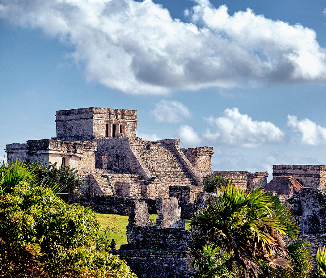
Begin at Tulum Ruins, the fortified Maya archaeological site occupying limestone cliffs above the Caribbean Sea northeast of Central Tulum. The settlement flourished during the Late Postclassic period, serving as an important maritime trading center connected with communities across the eastern Yucatán Peninsula. Its defensive walls enclose ceremonial structures, including El Castillo, the Temple of the Descending God and the Temple of the Frescoes. The elevated coastal position provided a strategic setting for controlling maritime activity and observing vessels approaching the shoreline. Its surviving architecture preserves substantial evidence of the religious and commercial importance of Maya communities during the centuries preceding Spanish conquest. Continue to Gran Cenote, the freshwater sinkhole system situated inland along the road connecting Tulum with Cobá. The cenote forms part of the extensive underground drainage network created through the dissolution of the Yucatán Peninsula's limestone bedrock. Its clear freshwater pools occupy partially open chambers surrounded by tropical vegetation, with submerged passages extending into a larger cavern system. Stalactites, exposed rock surfaces and underwater formations preserve evidence of prolonged geological processes involving groundwater movement and mineral deposition. The cenote's accessible swimming areas provide a direct introduction to the freshwater environments that supported Maya settlement across the peninsula. Conclude at Zona Arqueológica de Cobá, the extensive Maya archaeological site situated inland among tropical forest and freshwater lagoons northwest of Tulum. The settlement flourished during the Classic period, developing into a major political center connected with communities across the northeastern Yucatán Peninsula. Its surviving remains include the Nohoch Mul pyramid, carved stelae and an extensive network of elevated limestone roads known as sacbeob. The longest known route connected Cobá with Yaxuná across 100 kilometers, demonstrating the organizational capacity of the city's ruling institutions. The surrounding forest and lagoons preserve the environmental setting that supported the settlement's agricultural economy and regional political influence. The progression moves from Tulum Ruins' fortified coastal settlement through Gran Cenote's limestone freshwater system and culminates at Zona Arqueológica de Cobá's extensive Maya urban landscape, connecting Reserva de la Biósfera Sian Ka'an with the archaeological and geological environments that shaped the eastern Yucatán Peninsula.
Where your story begins.
Foresyte Travel reveals places that feel extraordinary long before you arrive.
Enjoy editorial crafted for luxury travelers.
Foresyte may earn a commission when you book.