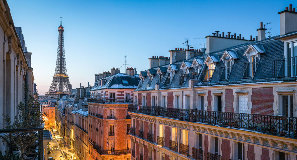
Why 14th Arrondissement matters.
14th Arrondissement is a multifaceted enclave where the southern edge of historic Paris meets former village territory through limestone architecture, long residential avenues and streets shaped by artists, railway expansion and the incorporation of suburban communes.
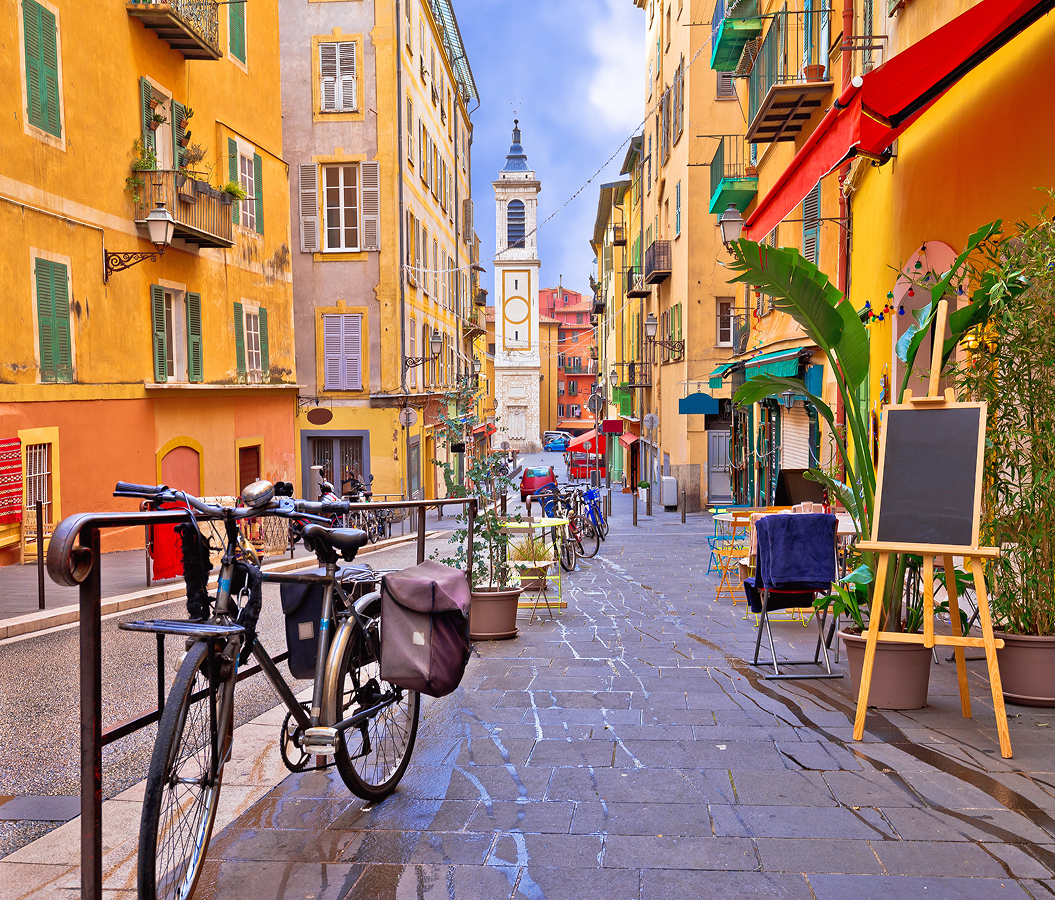
Positioned between Montparnasse, the Latin Quarter, and the southern communes of Montrouge and Gentilly, the neighborhood occupies a broad Left Bank territory where Boulevard Raspail, Avenue du Général Leclerc and Rue d'Alésia extend from dense central streets toward the former fortifications. Pale limestone apartment houses, secluded villas, planted squares and older low-rise buildings create sharp changes in scale, preserving traces of suburban settlement inside the enlarged capital. Avenue du Général Leclerc establishes the primary encounter through the historic road toward Orléans, carrying the district from Place Denfert-Rochereau through a succession of commercial blocks whose breadth contrasts with the smaller streets branching behind them. The western reaches deepen that character through lanes around Plaisance and Pernety, where workshops, artists' residences and modest houses survive among later apartment construction associated with the district's long working population. Farther east, streets descending toward Parc Montsouris introduce villas and planted passages across ground whose slopes and former quarries encouraged a more fragmented pattern of development. The result is an Arrondissement whose unusual variety grew from the absorption of villages, quarry landscapes and peripheral settlements into Paris, preparing a history centered on the territorial expansion of 1860 and the distinct communities it brought inside the city.
What you should know 14th Arrondissement.
14th Arrondissement is best known for taking its modern form when Paris expanded beyond the Farmers-General wall in 1860, combining territory from Montrouge, Gentilly and Vanves with portions of the older capital to create a new southern Arrondissement. The annexation incorporated Petit-Montrouge, a settlement that had grown north of the village of Montrouge along the road to Orléans, and joined it with Montparnasse, Plaisance and the territory later organized as Parc-de-Montsouris. Limestone extraction had already shaped substantial areas underground, with centuries of quarrying leaving galleries beneath Montrouge and neighboring districts as Paris consumed immense quantities of stone for construction. The extension of the city placed these peripheral landscapes inside a capital undergoing extensive demographic and architectural change. Rail development strengthened the western side as the Chemin de fer de l'Ouest connected Montparnasse with Versailles and western France, drawing industrial and working populations toward Plaisance. Housing expanded across former agricultural plots, and successive streets filled territory between the railway and Avenue du Maine. Artists entered the same southern districts in growing numbers during the late nineteenth and early twentieth centuries as Montparnasse developed into an international center for painting and sculpture. Pablo Picasso, Amedeo Modigliani, Chaïm Soutine, Tsuguharu Foujita and Man Ray became associated with its studios and cafés, joined by writers and expatriates whose presence extended cultural life across the northern reaches of the Arrondissement. The 1860 boundary change gathered territories with different economic origins into a single Arrondissement whose later character emerged through the interaction of quarrying, railways, working-class settlement and the artistic expansion of Montparnasse.
A second mechanism developed through the extensive network of artists' studios and purpose-built houses that spread south from Montparnasse during the twentieth century. Rue Campagne-Première became one concentration after architect André Arfvidson completed the ceramic-fronted building at number 31 in 1911, providing workshops with expansive windows suited to painters and sculptors. Nearby streets acquired further studio buildings as artists searched for large workspaces beyond the increasingly commercial boulevard. Chana Orloff commissioned Auguste Perret to build her combined home and studio at Villa Seurat in 1926, placing reinforced concrete at the center of a lane whose residents also included Jean Lurçat and Henry Miller. André Lurçat developed several properties along the same private street, creating a concentrated group of modern houses tied to the artistic community. Alberto Giacometti established his studio on Rue Hippolyte-Maindron in 1926 and retained the tiny workspace until his death in 1966, producing much of his mature sculpture within its modest dimensions. These studios extended the artistic geography of Montparnasse into quieter residential streets and villas, leaving architecture built specifically around creative work embedded throughout the northern 14th.
How 14th Arrondissement fits.
14th Arrondissement works as the anchor for a daytime exploration connecting an eighteenth-century subterranean ossuary, a nineteenth-century public park engineered across former quarry ground and an interwar university campus conceived as an international experiment in student residence and architecture.
Begin at Catacombes de Paris, where the closure of overflowing urban cemeteries led authorities to transfer human remains into abandoned quarries beneath the Montrouge plain beginning in 1786. The former Tombe-Issoire workings received bones first from the Saints-Innocents cemetery, and transfers from additional burial grounds continued for decades; Louis-Étienne Héricart de Thury reorganized the ossuary after becoming inspector general of quarries in 1809, arranging skulls and long bones into the walls visible along the present route and introducing plaques, architectural features and inscriptions that converted a practical burial repository into a deliberately ordered subterranean site. Continue to Parc Montsouris, developed under Napoleon III as part of the program that gave northern, eastern, western and southern Paris major landscaped parks, with engineer Adolphe Alphand directing work across former quarry terrain beside the Ceinture railway. Construction began in the 1860s, and the completed landscape used extensive earthworks, artificial rock, lawns, tree plantings and a lake to transform difficult peripheral ground into a large public garden; the Paris meridian also crossed the property, where a surviving mire marks the astronomical line once fundamental to French cartography. Conclude at Cité internationale universitaire de Paris, founded after the First World War through an initiative joining industrialist Émile Deutsch de la Meurthe with University of Paris rector Paul Appell to create housing where students from different nations would live within a shared campus. Lucien Bechmann designed the first residential ensemble, Fondation Deutsch de la Meurthe, inaugurated in 1925, and subsequent national houses turned the campus into an architectural collection encompassing Le Corbusier and Pierre Jeanneret's Fondation Suisse, Willem Marinus Dudok's Collège néerlandais and Le Corbusier's later Maison du Brésil with Lúcio Costa. The progression moves from Héricart de Thury reorganizing the physical remains of historic Paris through Alphand remaking quarried peripheral ground into public landscape into Appell, Deutsch de la Meurthe and successive international architects building a residential campus around intellectual exchange, revealing three radically different responses to the southern territory absorbed by the expanding capital.
Where your story begins.
Foresyte Travel reveals places that feel extraordinary long before you arrive.
Enjoy editorial crafted for luxury travelers.
Foresyte may earn a commission when you book.