Why Isla Mujeres matters.
Isla Mujeres is a Caribbean island where Quintana Roo's maritime heritage meets ancient Maya religious traditions, centuries of fishing culture and the coral reefs that distinguish Mexico's northeastern coastline.
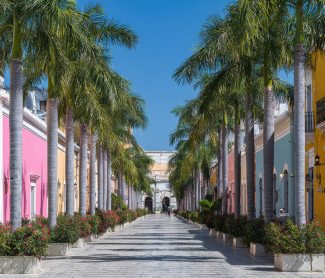
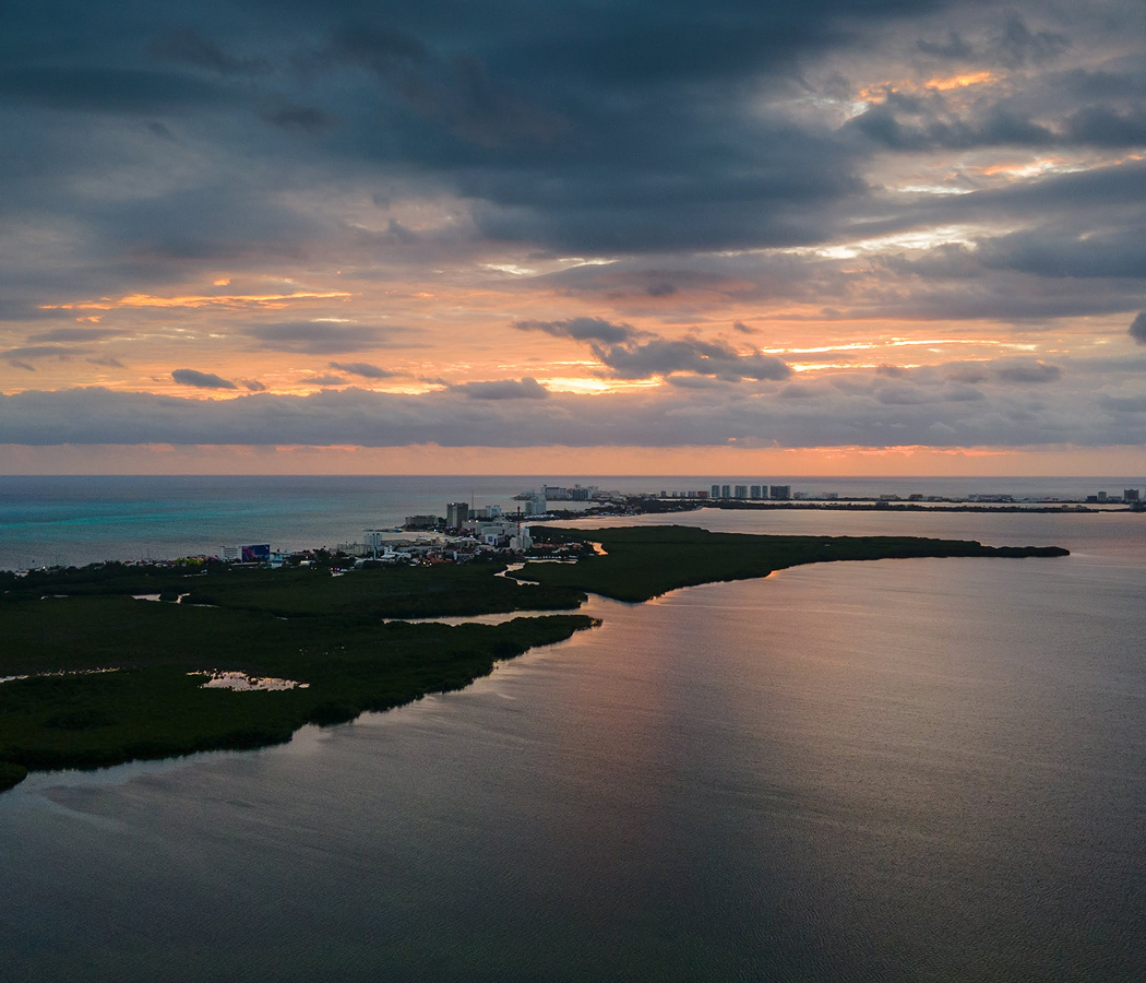
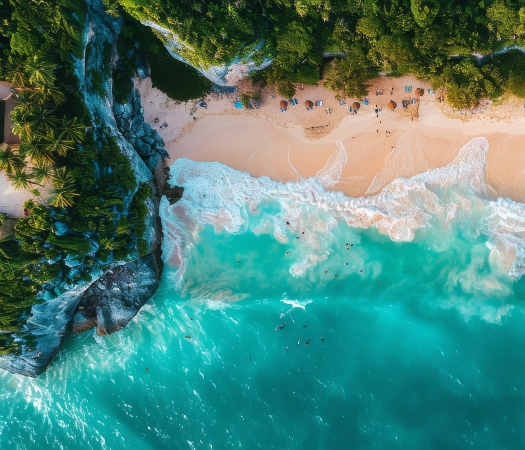
Set across the Caribbean Sea near Cancún's northern coastline and just offshore from Puerto Juárez, the elongated island stretches between a compact northern town and the limestone headlands of Punta Sur, with the sheltered waters of Bahía de Mujeres separating its western shore from the mainland. Narrow streets lined with brightly painted buildings connect waterfront restaurants, small hotels and traditional fishing businesses, preserving the intimate proportions of an island community shaped by maritime commerce. White-sand beaches occupy the northern coastline, where shallow turquoise water contrasts with the deeper Caribbean currents and rocky eastern shore. Residential neighborhoods, coastal roads and tropical vegetation extend southward toward elevated cliffs, archaeological remains and marine environments associated with the Mesoamerican Reef. The result is an island defined by its ancient ceremonial significance, enduring fishing traditions and extraordinary relationship with the coastal geography of the Mexican Caribbean.
What defines Isla Mujeres.
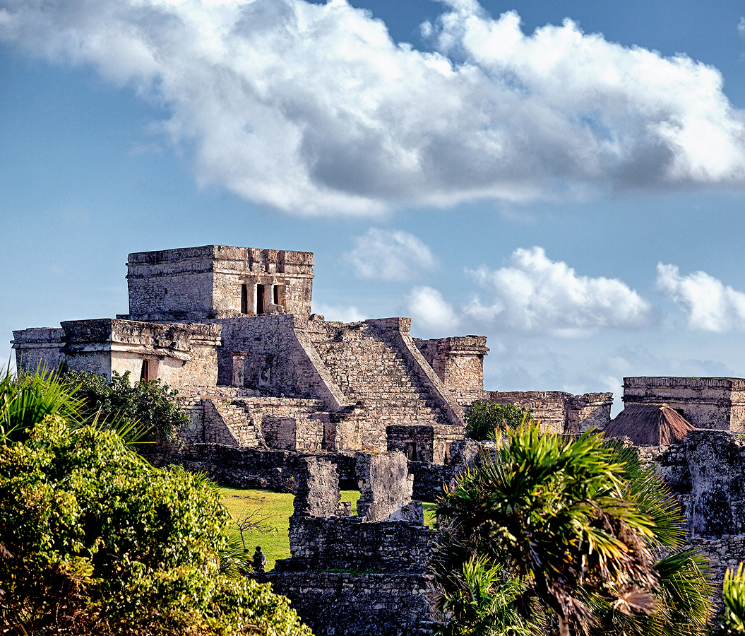
Isla Mujeres is best known for its association with the Maya goddess Ixchel, its historical development as a fishing settlement and its position within the maritime geography connecting the Yucatán Peninsula with the wider Caribbean. The island's pre-Hispanic history developed through the coastal trading networks that linked communities across the eastern Yucatán during the Postclassic period. Maya merchants navigated the surrounding waters in large canoes, transporting commodities between mainland settlements and coastal destinations throughout the region. The island's location near important maritime routes contributed to its religious and commercial significance within the northern Caribbean. Its southern headland contained a sanctuary associated with Ixchel, a deity connected with weaving, medicine, fertility and childbirth. The religious importance of the sanctuary attracted pilgrims and contributed to the island's position within the sacred geography of the Maya world. Spanish explorer Francisco Hernández de Córdoba reached the island in 1517 during an expedition along the Yucatán coast. His expedition encountered female figurines associated with the island's religious traditions, inspiring the Spanish name Isla Mujeres, meaning Island of Women. The encounter formed part of the earliest Spanish exploration of the peninsula, preceding the conquest and colonial transformation of the surrounding Maya territories. During subsequent centuries, the island's coastal position supported fishing, maritime navigation and occasional activity associated with Caribbean piracy. Its proximity to important sea routes connected the surrounding waters with the movement of vessels between the Gulf of Mexico, the Yucatán Channel and the western Caribbean. Permanent settlement expanded during the nineteenth century as families established fishing communities along the island's sheltered northern shoreline. The community developed around maritime occupations, with small boats supporting fishing and transportation between the island and the mainland. The settlement acquired the name Dolores during the nineteenth century, reflecting the development of a formal community within the emerging political geography of the region. The Caste War of Yucatán contributed to population movements across the peninsula, influencing the development of settlements in the eastern coastal territories. The island's fishing economy remained central to local life through the early twentieth century, with marine resources supporting households and commercial exchanges with mainland markets. The development of Cancún as an international tourism center beginning in the 1970s transformed regional transportation and introduced substantial new economic opportunities. Improved ferry connections strengthened the relationship between Isla Mujeres and the expanding mainland resort corridor, supporting the development of hotels, restaurants and recreational marine activities. The island's historical importance rests on the continuity between Maya ceremonial geography, nineteenth-century fishing settlement and the emergence of a major Caribbean tourism destination.
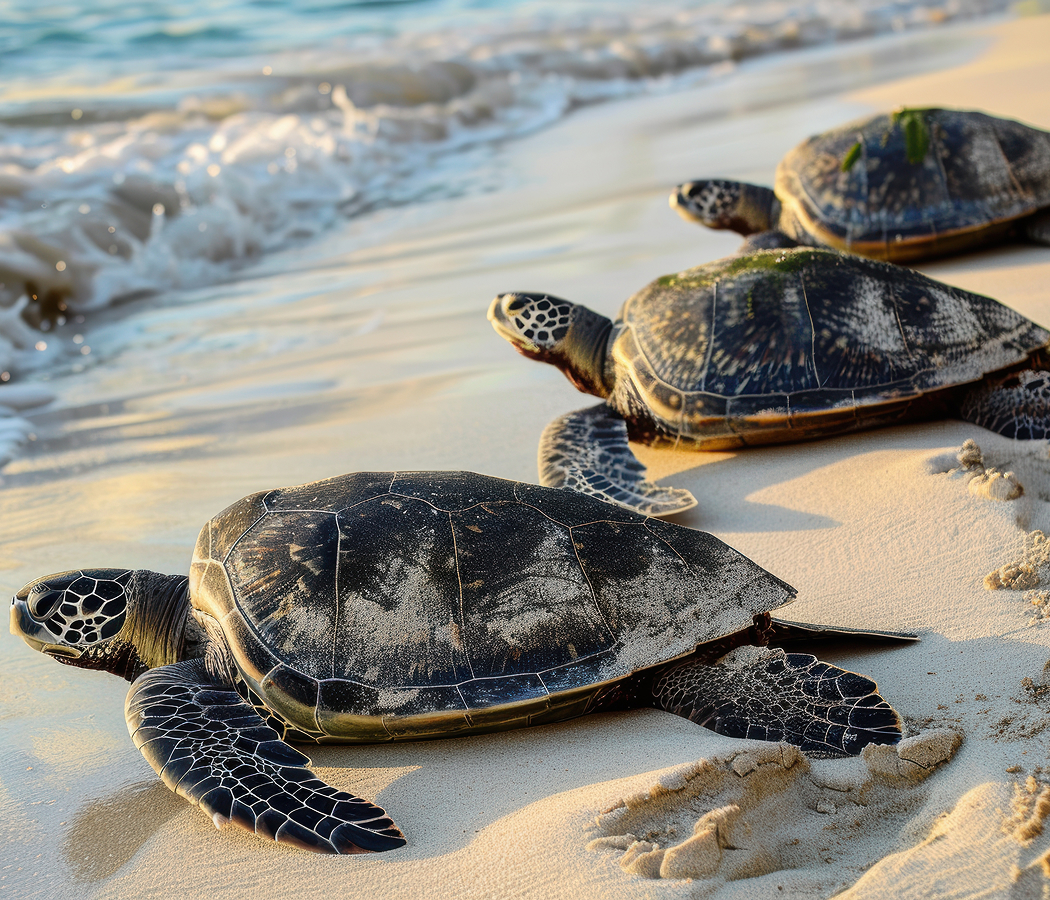
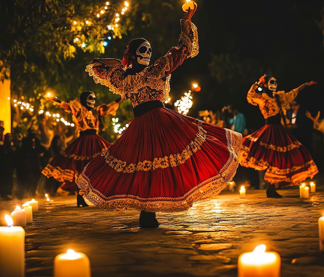
The Mesoamerican Reef system shapes the island's marine environment, extending through the western Caribbean and supporting extensive coral communities, tropical fish populations and interconnected coastal habitats. The reef's northern reaches occupy waters surrounding Isla Mujeres and Cancún, establishing an important ecological foundation for fishing, diving and marine conservation. Coral formations provide habitat for numerous species, including angelfish, parrotfish, groupers and other organisms associated with tropical reef environments. The surrounding seagrass beds contribute to marine productivity, supporting juvenile fish and helping stabilize shallow coastal sediments. The island's eastern coastline faces the open Caribbean, where waves and currents interact with limestone cliffs and rocky shore formations. Its western shoreline occupies more sheltered waters facing the mainland, supporting ferry operations, recreational boating and coastal settlement. The contrast between these environments contributes to the island's distinctive geography and the distribution of its beaches, harbors and residential communities. The northern town preserves a compact street grid centered on Avenida Hidalgo, where restaurants, small shops and public gathering spaces occupy a pedestrian-oriented commercial corridor. Traditional fishing activity continues along the waterfront, connecting the island's maritime heritage with the surrounding marine resources. The island's contemporary cultural calendar includes celebrations associated with Catholic religious traditions and local community life. The annual observance of the Virgin of the Immaculate Conception contributes to the island's religious heritage, incorporating processions and communal gatherings associated with its principal parish. Fishing tournaments and maritime events reinforce the historical importance of the sea within the community's social and economic development. The island also participates in regional conservation efforts addressing coral reef protection, marine wildlife and the management of recreational activity within sensitive coastal environments. Whale sharks gather seasonally in offshore waters north of the Yucatán Peninsula, attracting regulated wildlife excursions associated with the region's marine biodiversity. Sea turtles use selected beaches along the coast for nesting, contributing to conservation programs focused on the protection of vulnerable marine species. The island's residential development incorporates a mixture of traditional low-rise buildings, contemporary hospitality properties and waterfront commercial structures. Its southern districts contain substantial residential neighborhoods, small marinas and coastal viewpoints connected by the principal island road. Isla Mujeres' distinctive character emerges from the interaction between its historical fishing community, ancient religious associations and the marine ecosystems that continue to shape its geography and economy.
How Isla Mujeres fits.
Isla Mujeres works as the coastal centerpiece for a Caribbean itinerary connecting the island's principal public beach, its ancient Maya ceremonial landscape and the protected marine environments that define the surrounding waters.
Begin at Playa Norte, the broad white-sand beach occupying the island's sheltered northern shoreline. Its shallow turquoise waters extend across a gently sloping seabed, creating a distinctive coastal environment near the historic town center. The beach's western orientation provides expansive views toward the mainland and the maritime approaches connecting Isla Mujeres with Cancún. Public access points, waterfront restaurants and recreational facilities occupy the surrounding streets, supporting the island's established beach culture. The shoreline's geographical position also provides a direct perspective on the protected waters of Bahía de Mujeres, where maritime transportation and fishing activity have contributed to the island's historical development. Continue to Punta Sur, the elevated limestone headland forming the island's southern extremity. The site preserves archaeological remains associated with the Maya goddess Ixchel, connecting the coastal landscape with the religious traditions of the ancient Yucatán Peninsula. Its exposed cliffs rise above the Caribbean Sea, establishing extensive views across the surrounding water and the island's eastern coastline. A contemporary sculpture park occupies part of the headland, incorporating works by international artists within the coastal setting. Walking paths connect the archaeological remains, sculptural installations and viewing areas, creating a substantial cultural landscape shaped by ancient religious activity and contemporary public art. Conclude at MUSA, the underwater sculpture museum occupying selected marine sites in the waters surrounding Isla Mujeres and Cancún. Established in 2009, the project developed through collaboration between marine conservation authorities, the Cancún Nautical Association and British sculptor Jason deCaires Taylor. Its collection includes hundreds of submerged sculptures constructed from marine-compatible materials, creating additional surfaces for biological growth within selected underwater environments. The Silent Evolution, a major installation consisting of 400 life-sized human figures, forms one of the museum's principal works. Guided diving and snorkeling excursions provide access to the collection, connecting contemporary artistic practice with the ecological importance of the surrounding Caribbean waters. The progression moves from the sheltered shoreline of the northern town through the island's ancient ceremonial headland and culminates in an underwater artistic environment associated with regional marine conservation.
Where your story begins.
Foresyte Travel reveals places that feel extraordinary long before you arrive.
Enjoy editorial crafted for luxury travelers.
Foresyte may earn a commission when you book.