Why Mount Coot-Tha Summit Lookout matters.
Mount Coot-Tha Summit Lookout is a historic hilltop observation point where Mount Coot-tha's forested terrain meets Brisbane's nineteenth-century municipal history, the preservation of subtropical bushland and the development of public recreation above the Queensland capital.
Reached along Sir Samuel Griffith Drive near its junction with Mount Coot-tha Road and a short drive from the western suburbs of Toowong and Bardon, the lookout occupies an eastern summit of the Taylor Range, overlooking the Brisbane River's winding course through the metropolitan basin. A paved observation terrace extends along the hillside above a steep forested slope. Stone retaining walls and pedestrian paths connect the viewing area with adjoining public facilities. The elevated position provides an unobstructed eastern outlook across the city's central business district toward the distant coastal plain. The result is a public viewpoint whose geography connects Brisbane's urban expansion with the protected mountain landscapes along the city's western boundary.
What defines Mount Coot-Tha Summit Lookout.
Mount Coot-Tha Summit Lookout is best known for its panoramic views across Brisbane, its association with the city's early public reserves and its position within the forested Taylor Range. The mountain forms part of the traditional Country of the Turrbal and Jagera peoples, whose relationships with the surrounding landscape preceded European settlement. Its name derives from an Aboriginal word associated with honey, reflecting the historical presence of native bees in the surrounding bushland. European settlement expanded westward from the Brisbane River during the nineteenth century, bringing timber extraction and other activities to the mountain's lower slopes. The elevated terrain became an important geographical reference point as Brisbane developed from a colonial settlement into Queensland's capital. In 1880, a substantial portion of the mountain was proclaimed a public reserve, protecting forested land for recreation and public use. The reserve became known as One Tree Hill, a name associated with the mountain's earlier European designation. During the following decades, civic authorities developed roads and recreational facilities to improve access to the summit. The mountain was renamed Mount Coot-tha in 1883, adopting a name associated with the area's Aboriginal heritage. Its summit became a popular destination for residents seeking elevated views across the growing city. The development of motor transportation during the early twentieth century increased access to the mountain, encouraging the construction of improved roads and public amenities. A kiosk and associated recreational facilities were established near the summit, supporting the development of the lookout as a public gathering place. The surrounding reserve expanded through additional land protection and the development of recreational infrastructure. Brisbane's municipal authorities subsequently incorporated the mountain into a broader network of parks, walking trails and forest reserves. The lookout developed into one of the city's principal public observation points, connecting metropolitan views with the conservation of the surrounding bushland.
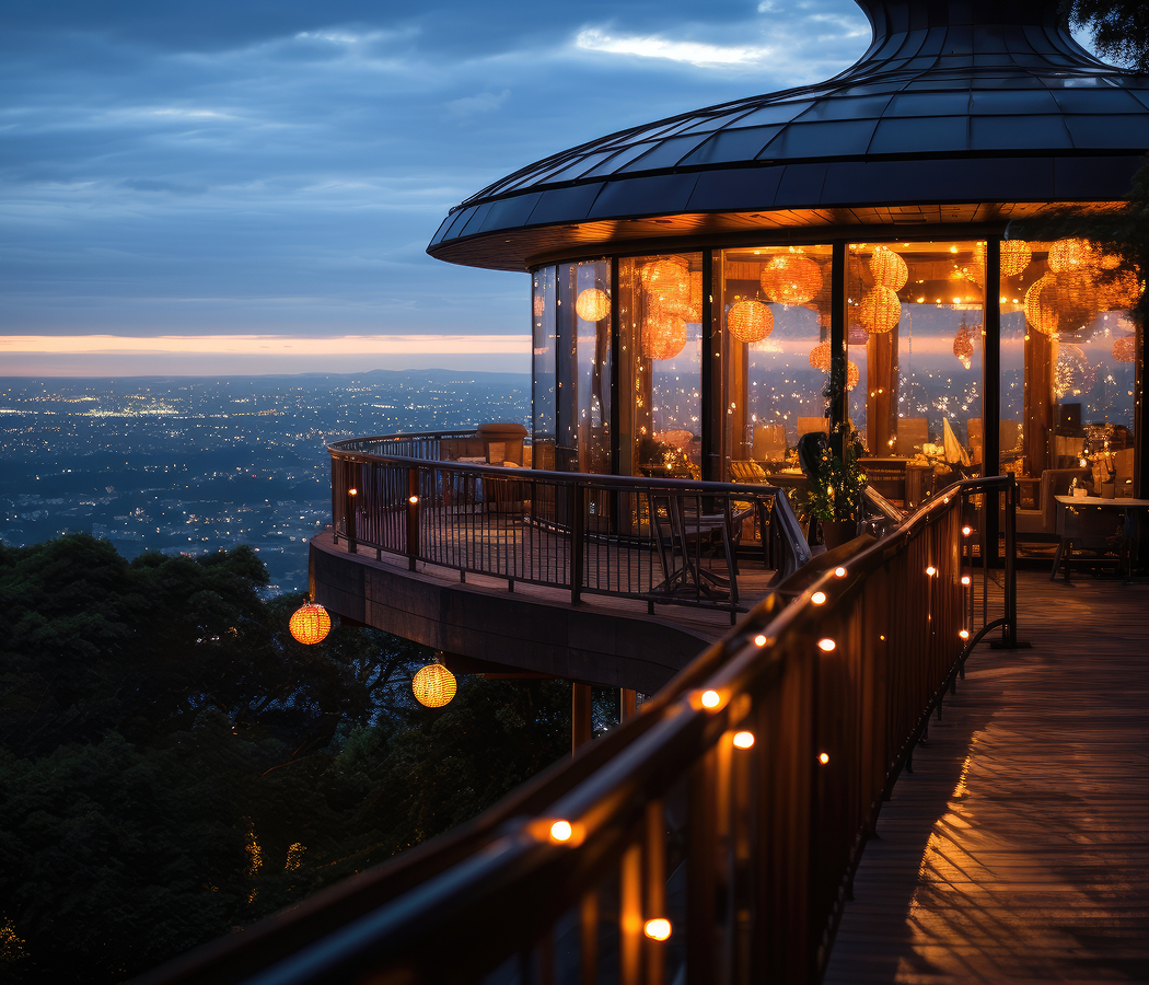
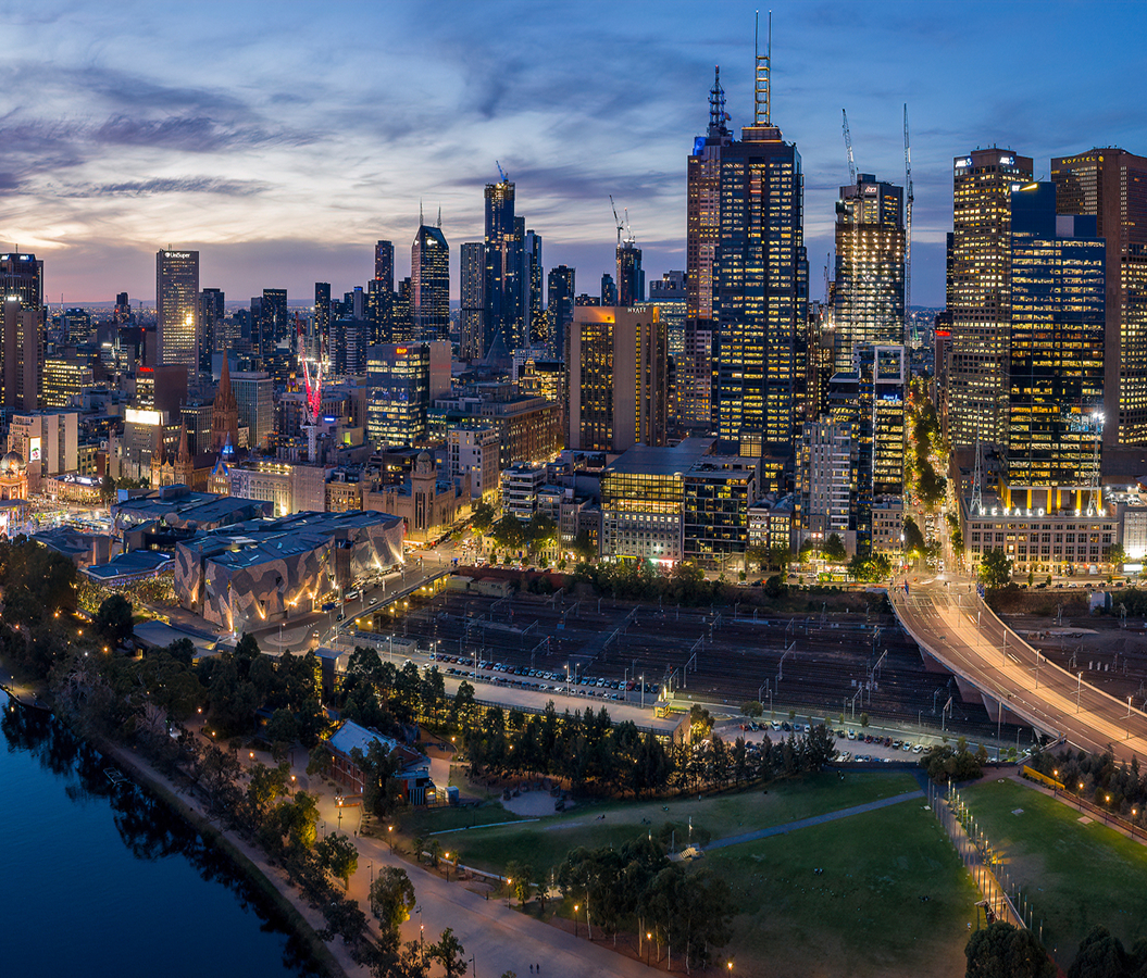
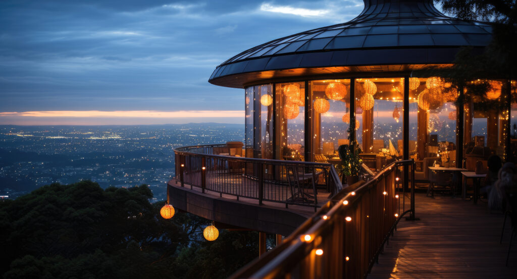
Sir Samuel Griffith Drive provides the principal vehicular approach to the summit, following the mountain's contours through subtropical forest. The road's alignment incorporates substantial bends and changes in elevation as it ascends from the surrounding residential districts. The summit lookout occupies an open terrace above the forest canopy, providing views across Brisbane's central business district and the Brisbane River. The river's winding course is visible through the metropolitan basin, connecting the city center with suburban districts extending toward the coast. The observation area incorporates paved surfaces, stone walls and public seating arranged along the eastern edge of the summit. Its elevated position provides a broad perspective across the city's changing topography, including the relationship between the river valley and surrounding hills. The summit contains a café and restaurant facilities associated with the lookout's recreational functions. The Summit Café occupies a position near the observation terrace, providing refreshments and indoor seating overlooking the surrounding landscape. The Summit Restaurant operates within the adjoining facilities, extending the lookout's use into formal dining and private events. Walking paths connect the summit with sections of the surrounding Mount Coot-tha Reserve. The mountain's vegetation includes eucalyptus woodland, subtropical rainforest communities and other plant associations adapted to the area's varied slopes and drainage conditions. Native wildlife inhabits the reserve, including birds, reptiles and mammals associated with southeastern Queensland's forest environments. The lookout's position above the urban basin creates substantial differences in vegetation and land use between the protected mountain slopes and the surrounding suburbs. Interpretive features and public pathways support recreational use of the summit and adjoining forest areas. The site's physical arrangement combines metropolitan observation, forest recreation and public facilities within a protected mountain landscape.
How Mount Coot-Tha Summit Lookout fits.
Mount Coot-Tha Summit Lookout works as the elevated centerpiece for a western Brisbane itinerary connecting the city's botanical collections, subtropical forest environments and the scientific institutions developed along the slopes of the Taylor Range.
Begin at Brisbane Botanic Gardens Mount Coot-tha, the botanical institution situated on the mountain's lower eastern slopes. Opened in 1976, the gardens were developed to accommodate expanding botanical collections beyond the historic City Botanic Gardens. Their landscape incorporates specialized collections devoted to Australian native plants, tropical flora, arid-region vegetation and other horticultural groups. The Japanese Garden contains traditional landscape elements, including ornamental water features, stone arrangements and carefully maintained plantings. The Tropical Display Dome supports the cultivation of plants requiring humid environmental conditions. The gardens' development established a major center for botanical education and plant conservation within Brisbane's western parklands. Continue to Sir Thomas Brisbane Planetarium, the astronomy institution situated within the botanical gardens precinct. Opened in 1978, the planetarium commemorates Sir Thomas Brisbane, the colonial governor whose interest in astronomy contributed to scientific observation in early nineteenth-century Australia. Its principal theater incorporates a domed projection surface designed for astronomical presentations. Exhibitions examine the solar system, celestial navigation and the development of astronomical knowledge. The institution supports public education through presentations and displays associated with astronomy and space science. Its establishment connected Brisbane's scientific institutions with the broader development of public astronomy education in Queensland. Conclude at JC Slaughter Falls, the forest recreation area situated along the western slopes of Mount Coot-tha. The reserve contains walking trails following seasonal waterways through eucalyptus woodland and subtropical vegetation. Its principal waterfall flows over exposed rock formations following substantial rainfall, reflecting the mountain's drainage patterns and geological structure. The surrounding trails connect picnic areas with forest paths extending toward the summit. The site forms part of the larger Mount Coot-tha Reserve, preserving sections of native vegetation within the metropolitan region. Its recreational infrastructure supports bushwalking and environmental appreciation within a protected forest landscape. The progression moves from cultivated botanical collections through public astronomy education and culminates in a forested mountain catchment, connecting Mount Coot-Tha Summit Lookout with the natural and scientific landscapes of western Brisbane.
Where your story begins.
Foresyte Travel reveals places that feel extraordinary long before you arrive.
Enjoy editorial crafted for luxury travelers.
Foresyte may earn a commission when you book.