
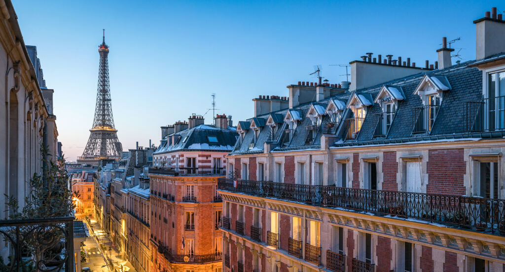
Why 19th Arrondissement matters.
19th Arrondissement is a topographically dramatic enclave where northeastern Paris meets the city's former industrial edge through steep hills, long waterways, working-class streets and large cultural spaces spread across territory that remained beyond the capital until 1860.
Positioned between Belleville, Pantin, and the northern reaches of the 10th Arrondissement, the neighborhood occupies a broad northeastern sector where elevated ground around Buttes-Chaumont and Amérique descends toward the Bassin de la Villette and the flatter approaches to Porte de Pantin. Hills, canals, railway cuts, stair streets and dense residential blocks create unusually strong changes in elevation and scale, giving the Arrondissement a physical variety uncommon across the flatter districts of Central Paris. Avenue Secrétan and Rue de Crimée establish one primary encounter through long streets that climb between the basin and the higher residential quarters, exposing successive layers of nineteenth and twentieth-century construction as the terrain rises. The Bassin de la Villette supplies a distinct secondary experience through an immense linear opening in the city, carrying water, bridges and quays deep into an Arrondissement otherwise defined by tightly built streets. Smaller enclaves around Mouzaïa, Danube and Butte Bergeyre introduce another spatial register through hillside lanes, compact houses and abrupt views across northeastern Paris. The result is an Arrondissement whose extraordinary physical range grew directly from its late incorporation into the capital, preparing a history in which rural villages, metropolitan annexation and large infrastructure projects repeatedly altered Paris's northeastern frontier.
What you should know 19th Arrondissement.
19th Arrondissement is best known for emerging in 1860 from territory that had developed for centuries beyond Paris, principally around the villages of La Villette and Belleville before Haussmannian annexation brought them inside the enlarged capital. La Villette had grown as a village-rue along the road toward northern France and Flanders, the route preserved by Rue de Flandre, with vineyards, orchards and vegetable gardens spreading around a settlement tied to movement between Paris and the northern provinces. Taverns, inns and guinguettes gathered along that commercial road, and windmills occupied the higher ground before nineteenth-century urbanization displaced much of the rural landscape. Belleville developed on the adjoining heights and shared an economic world shaped by agriculture, craft production and settlement outside the fiscal boundaries of old Paris. The law of June 16, 1859 expanded Paris from twelve to twenty Arrondissements, and the new boundary took effect on January 1, 1860, absorbing La Villette and part of Belleville into the 19th. Industrial growth accelerated after annexation as warehouses, factories and transport enterprises filled lower ground with activities serving the expanding capital. Belleville retained a particularly strong working-class character, becoming one of the final centers of resistance during the Paris Commune in 1871. The Arrondissement subsequently received Armenian, Greek and Polish Jewish communities during the interwar period, adding new craft traditions and commercial networks to neighborhoods already shaped by successive generations of workers.
Water engineering supplied a separate mechanism for turning the former outskirts into a strategic component of metropolitan Paris. Napoleon Bonaparte authorized construction of the Canal de l'Ourcq on May 19, 1802, seeking both a new water supply for the capital and a navigable connection capable of carrying goods toward Paris. Engineer and mathematician Pierre-Simon Girard, who had accompanied Bonaparte's Egyptian expedition in 1798, directed work beginning on September 23, 1802. The first boat traveled from Claye-Souilly to La Villette on August 15, 1813, followed by completion of the Canal Saint-Denis in 1821, the extended Ourcq route in 1822 and the Canal Saint-Martin in 1825. Their intersection made the Bassin de la Villette a distribution point between three waterways and helped shift industrial activity northward from the Seine. Commercial navigation reached a peak during the early twentieth century, when the Port de la Villette ranked among France's leading inland ports and handled goods moving between the upper and Lower Seine systems. Rail and road transport later reduced that commercial supremacy, yet the water network retained both hydraulic and freight functions. The Arrondissement consequently inherited a rare metropolitan geography in which an early nineteenth-century engineering project established the armature for generations of urban expansion.
How 19th Arrondissement fits.
19th Arrondissement works as the anchor for a day tracing Second Empire landscape engineering, Russian émigré religious culture and the architectural ambitions of contemporary musical Paris across three consequential institutions distributed through its hills and eastern edge.
Begin at Parc des Buttes-Chaumont, where Napoleon III's government acquired exhausted gypsum workings in 1863 and placed Jean-Charles Adolphe Alphand at the center of an extraordinary conversion from excavated industrial terrain into a 25-hectare public park. Work beginning in 1864 mobilized 1,000 laborers, 450 wagons running across 39 kilometers of track, steam machinery and explosives to manipulate immense quantities of earth before the park opened on April 1, 1867 for the Universal Exposition; Gabriel Davioud added the Temple de la Sibylle above the artificial lake, giving the engineered cliffs a classical architectural crown inspired by Tivoli. Continue to Église Saint-Serge-de-Radonège, whose building began as a German Lutheran church completed in 1861 and was placed under state control after the First World War before Metropolitan Euloge acquired the property on July 18, 1924 for Russian Orthodox émigrés displaced after the 1917 Revolution. The former Protestant building was adapted for Orthodox worship between 1924 and 1927, with Dmitri Stelletsky covering its interior with painted decoration and iconostases; theological teaching occupied the lower level, establishing Saint-Serge as both a parish and a center for training clergy and theologians within the Russian diaspora. Conclude at Philharmonie de Paris, whose institutional origins reach the 1981 Cité de la musique project inspired by Pierre Boulez's ambition to bring musical education and professional practice into closer contact. Christian de Portzamparc's Cité de la musique opened in 1995 before an international competition selected Jean Nouvel's design for the Philharmonie in 2007; construction began in 2011, and the new building opened in January 2015 with a 2,400-seat symphonic hall developed with acoustician Sir Harold Marshall and an exterior composed from 340,000 aluminum bird forms. The progression moves from Alphand and Davioud remaking excavated ground through landscape engineering, through Euloge and Stelletsky converting a German Protestant church into a center of Russian Orthodox culture, into Boulez, Portzamparc and Nouvel establishing northeastern Paris as a major center for musical performance and education.
Where your story begins.
Foresyte Travel reveals places that feel extraordinary long before you arrive.
Experience premium editorial crafted for luxury travelers.
Foresyte Travel may earn a commission when you book through the link on this page.














































































































