Why you should experience Miami River in Miami, Florida.
Miami River is a historic Downtown Miami waterway where Indigenous heritage, maritime commerce, and urban reinvention converge along the river that gave one of America's great cities its name.
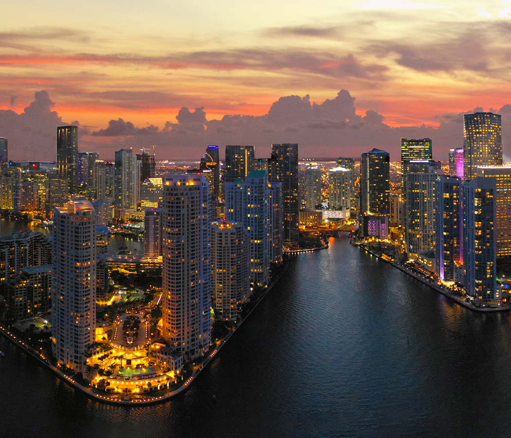
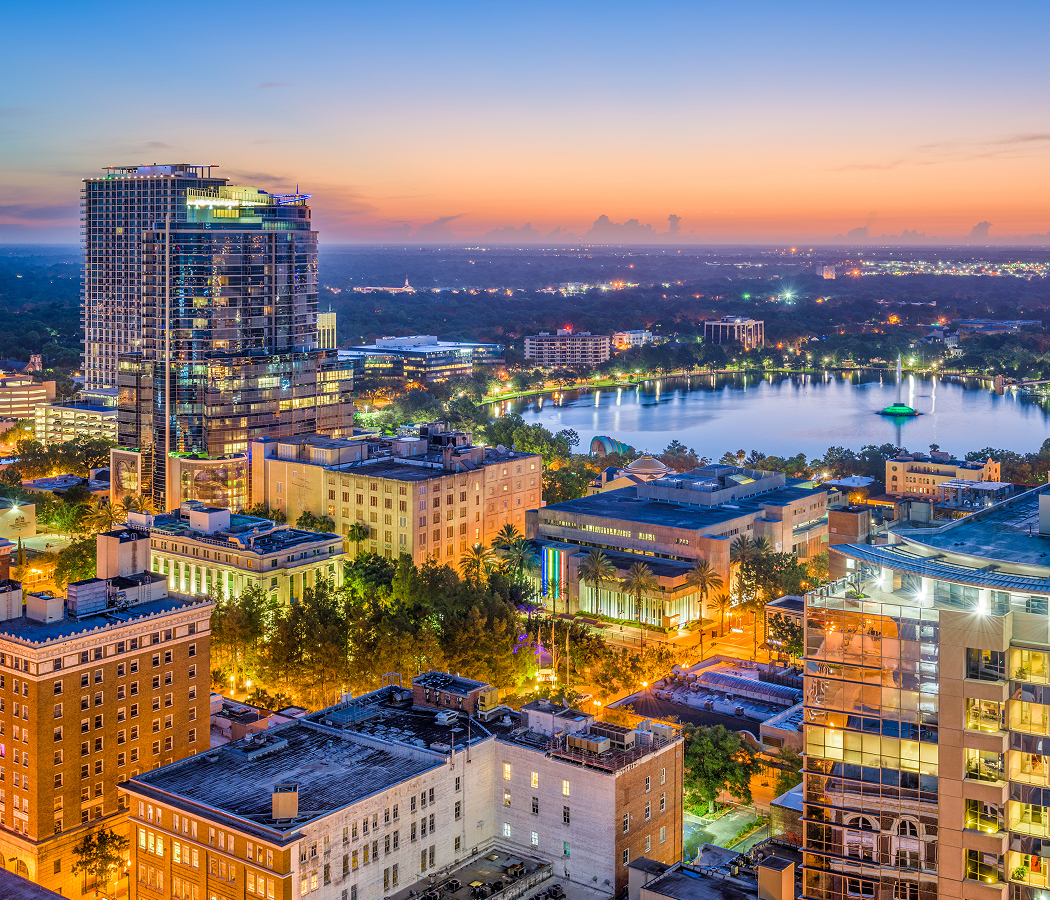
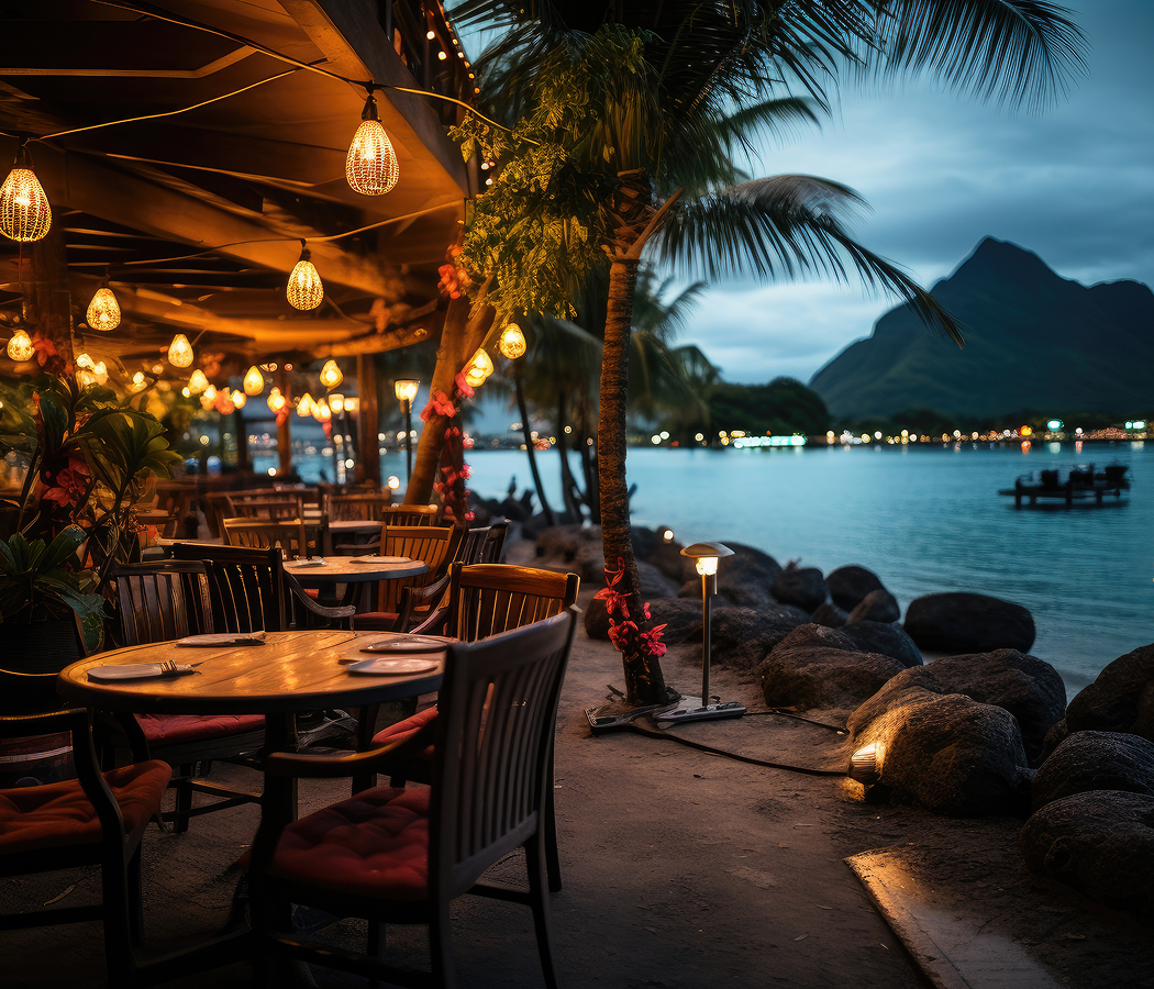
Running through Downtown Miami between Overtown and Brickell, this iconic river connects working shipyards, waterfront restaurants, public parks, marinas, residential towers, and historic neighborhoods across a remarkably compact corridor that has shaped Miami for thousands of years. Long before the city's skyline emerged, the river sustained the Tequesta people and later became the foundation upon which modern Miami was established. Today, cargo vessels still navigate its waters alongside pleasure craft, creating a rare urban landscape where commercial industry and waterfront revitalization continue to coexist. The result is a corridor defined by history, resilience, and extraordinary civic importance.
What you should know about Miami River.
Miami River is best known for being just 5.5 miles long while serving as one of the shortest working commercial rivers in the United States, supporting an active international shipping industry that has connected Miami with the Caribbean for more than a century.
The river's strategic importance far outweighs its modest length. Indigenous communities established major settlements along its banks thousands of years before European contact, while early pioneers recognized the waterway as the natural gateway between the Everglades and Biscayne Bay. During the twentieth century, dredging transformed the river into a thriving commercial port where shallow-draft cargo vessels supplied Caribbean nations with everything from construction materials to household goods. Modern restoration efforts have improved water quality, expanded public access through the Miami Riverwalk, and encouraged new residential and mixed-use development without displacing the maritime industry that continues to define the river's working character. Few urban waterways demonstrate such a remarkable intersection of archaeology, commerce, engineering, and city-building.
How to fold Miami River into your trip.
Miami River is best experienced as an exploration of Miami's waterfront history, maritime culture, and evolving urban landscape.
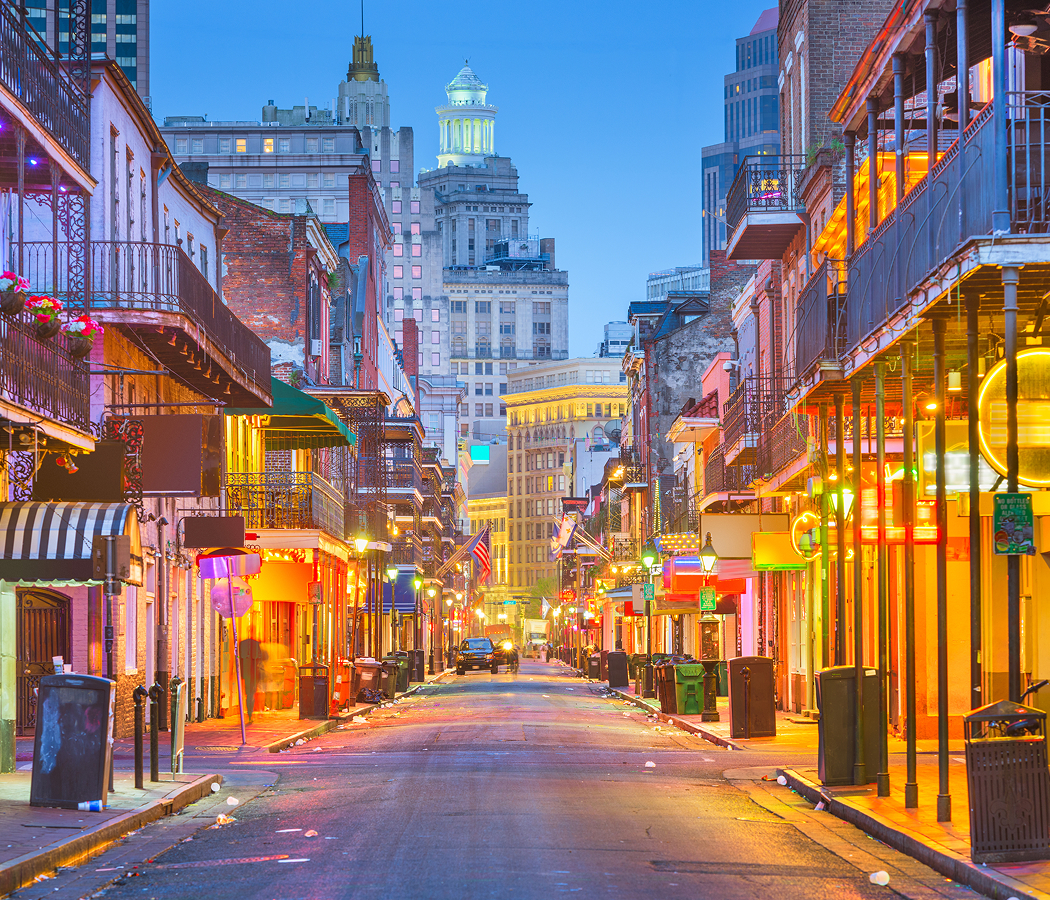
Begin at Miami Circle National Historic Landmark, where one of North America's most important archaeological discoveries introduces the river's ancient Indigenous heritage. Continue toward Lummus Park Historic District, whose preserved buildings reveal the pioneering era that established modern Miami along the riverbanks. From there, make your way to Brickell City Centre, where contemporary architecture, shopping, and public spaces showcase the remarkable urban transformation that now frames the river's mouth. Along the journey, riverfront restaurants, working cargo terminals, marinas, public art, pedestrian promenades, and passing freighters illustrate how the Miami River continues to function as both a living commercial waterway and one of the city's defining public spaces. The progression moves naturally from ancient civilization to pioneer history and finally to modern urban development, revealing why Miami River remains the waterway that shaped the city's past, present, and future.
Where your story begins.
Start the planning journey with Foresyte Travel.
Experience immersive stories crafted for luxury travelers.