Why you should experience Da Nang Bay in Vietnam.
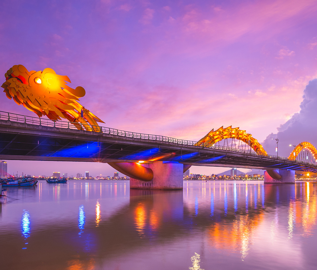
Da Nang Bay is a sweeping coastal landscape where mountain ranges, working harbors, and the maritime gateway of Central Vietnam converge beneath some of the most dramatic scenery on the country's coastline.
The crescent-shaped bay stretches between the forested slopes of Son Tra Peninsula and the rugged heights of Hai Van Pass, creating a natural harbor that has supported trade, fishing, and seafaring activity for centuries. Cargo vessels anchor offshore while fishing fleets return to port beneath mountains that descend directly toward the sea. The scale of the landscape dominates every perspective. Deep blue water fills the horizon. Industrial docks, fishing villages, beaches, and urban districts occupy different corners of a bay large enough to accommodate both commerce and recreation. Sunrises illuminate the harbor from behind the city while evening light settles across mountain ridges framing the western edge of the coastline. To the east, Son Tra Peninsula rises above the entrance to the bay, reinforcing the natural grandeur that has shaped Da Nang's development since its earliest days. Every viewpoint reveals a meeting point between geography, industry, and the sea.
What you should know about Da Nang Bay.
Da Nang Bay is best known for being naturally sheltered by Son Tra Peninsula and Hai Van Pass, creating one of Vietnam's most strategically important deep-water harbors.
The protective geography of the bay established its significance long before the emergence of modern Da Nang. Mountains shield the harbor from many of the region's strongest weather systems while deep waters allow maritime traffic to access the coastline efficiently. These natural advantages helped transform the area into a critical commercial gateway connecting Central Vietnam to international trade routes. Throughout history, merchants, naval forces, and trading fleets recognized the value of the harbor's location and protection. The bay later became an important economic engine supporting the city's expansion through shipping, fishing, logistics, and tourism. Few coastal landscapes in Vietnam have exerted such a lasting influence on the growth and strategic importance of a major city.
How to fold Da Nang Bay into your trip.
Da Nang Bay is best experienced as a journey through the viewpoints, coastal landmarks, and maritime environments that reveal the scale of Central Vietnam's coastline.
Begin at Hai Van Pass, where elevated viewpoints provide extraordinary panoramas across the entire bay and establish its defining relationship with the surrounding mountains. Continue toward Xuan Thieu Beach, whose shoreline offers a quieter perspective on the waters that have shaped the city's history and economy. From there, make your way to Son Tra Peninsula, where winding coastal roads and scenic overlooks reveal the full geography of the harbor entrance. Along the route, you'll encounter fishing ports, waterfront communities, cargo terminals, mountain vistas, and sweeping views extending across Da Nang, the South China Sea, and the distant coastline beyond. The progression moves naturally from mountain overlook to shoreline immersion to coastal wilderness, revealing the environmental forces that created one of Vietnam's great natural harbors. Da Nang Bay remains one of the country's most significant maritime landscapes, preserving a remarkable balance between natural beauty, economic importance, and cultural heritage.
Where your story begins.
Start the planning journey with Foresyte Travel.
Experience immersive stories crafted for luxury travelers.