Why you should experience Freedom Park Trail in Atlanta, Georgia.
Freedom Park Trail is a scenic East Atlanta corridor where environmental stewardship, neighborhood connectivity, and civic activism converge along one of the city's most celebrated urban greenways.
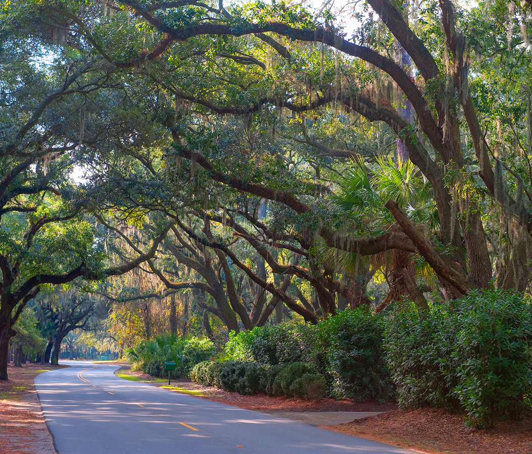
Running through Old Fourth Ward between Inman Park, Candler Park, and Druid Hills, this picturesque corridor connects landscaped parklands, public art, historic neighborhoods, community gathering spaces, cultural institutions, and multi-use pathways that have reshaped Atlanta's relationship with public space. Rolling lawns, mature tree canopies, winding trails, sculptural landscapes, and thoughtfully designed green infrastructure create an immersive environment where recreation and history coexist. Conceived through one of Atlanta's most significant grassroots preservation victories, the trail transformed land once reserved for a major interstate highway into a continuous public landscape enjoyed by residents and visitors alike. The result is a corridor defined by renewal, community, and enduring civic vision.
What you should know about Freedom Park Trail.
Freedom Park Trail is best known for occupying the corridor once reserved for the Stone Mountain Tollway, a proposed interstate extension defeated after decades of citizen activism, allowing the creation of the 210-acre Freedom Park, the largest linear park in Atlanta, and one of the nation's most influential examples of transforming cancelled highway infrastructure into public green space.
Plans for the expressway would have displaced thousands of residents while dividing many of Atlanta's historic intown neighborhoods. Community organizations, preservation advocates, environmental leaders, and neighborhood residents sustained a determined campaign that ultimately halted the project, fundamentally reshaping Atlanta's approach to transportation and urban planning. The preserved corridor was subsequently reimagined as a continuous network of trails, meadows, public art, playgrounds, and community gathering spaces that today connects some of the city's most beloved neighborhoods. Freedom Park Trail stands as a lasting testament to how civic engagement can redirect the future of a city, replacing a planned highway with one of Atlanta's defining public landscapes.
How to fold Freedom Park Trail into your trip.
Freedom Park Trail is best experienced as an exploration of Atlanta's green spaces, public art, and historic neighborhoods.
Begin at Jimmy Carter Presidential Library and Museum, where nationally significant exhibitions immediately establish the corridor's civic importance. Continue toward The PATH Foundation, whose interconnected trail network reveals the broader vision of regional pedestrian and cycling connectivity that extends well beyond Freedom Park. From there, make your way to Candler Park, where expansive greenspaces, mature trees, and welcoming recreational areas provide a fitting conclusion to the journey. Along the route, you'll encounter large-scale public sculptures, native landscapes, neighborhood cafés, historic residential streets, shaded pathways, and inviting community spaces that demonstrate how Freedom Park Trail seamlessly connects environmental preservation with some of the city's most distinctive neighborhoods. The progression moves naturally from presidential landmark to regional trail network to historic urban park, revealing why Freedom Park Trail remains one of Atlanta's most inspiring recreational corridors.
Where your story begins.
Start the planning journey with Foresyte Travel.
Experience immersive stories crafted for luxury travelers.