Why Karon Viewpoint matters.
Karon Viewpoint is a panoramic coastal lookout where Karon's tropical hillsides meet the Andaman Sea, three crescent-shaped bays and a changing tradition of scenic tourism that has made the southern Phuket ridge one of the island's defining photographic destinations.
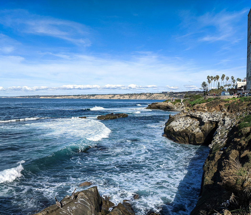
Perched above Kata Noi on the hillside road connecting Kata and Nai Harn, Karon Viewpoint overlooks the successive bays of Kata Noi, Kata Yai and Karon, with Ko Pu rising offshore and the forested headlands of southern Phuket extending toward the Andaman Sea. A covered pavilion crowns the roadside lookout, where an elevated viewing platform opens toward a broad sweep of coastline framed by tropical vegetation. The three beaches appear in sequence from south to north, their pale sand and turquoise shallows separated by rocky promontories that project into deeper water. From the pavilion, changing sunlight reveals the contrasting scale of the bays, with the compact curve of Kata Noi giving way to Kata's wider shoreline and Karon's extended northern arc. The result is a coastal lookout whose elevated position and distinctive three-bay composition make the geography of Phuket's southwestern shoreline immediately legible.
What defines Karon Viewpoint.
Karon Viewpoint is best known for its commanding panorama of three consecutive Andaman Sea bays and its evolution from a modest hillside stopping point into one of Phuket's established scenic destinations. The lookout occupies a ridge above Kata Noi, where a succession of rocky headlands divides the southwestern coastline into separate sandy embayments. Its Thai name, Khao Sam Haad, translates as Three Beaches Hill, referring to the unusual arrangement of Kata Noi, Kata Yai and Karon visible from a single elevated position. The smallest bay lies immediately below the lookout, followed by the broader sweep of Kata and the extended shoreline of Karon farther north. Ko Pu, also known as Crab Island, rises offshore from Kata, adding a separate geological feature to the panorama. The surrounding hills and projecting headlands give the viewpoint its distinctive composition, presenting several kilometers of coastline in a continuous northward perspective. During the early 1990s, the hillside became an established scenic stopping point along the coastal road linking Kata with southern Phuket. The lookout initially carried the name Kata Viewpoint, reflecting its immediate geographic relationship with Kata Noi and Kata Beach. Subsequent changes introduced Kata-Karon Viewpoint before the established Karon Viewpoint designation became prominent, creating a naming history closely connected to the three coastal communities visible from the summit. A purpose-built viewing pavilion subsequently formalized the original roadside stopping point, with a covered upper platform providing an elevated position above the surrounding vegetation. The structure developed into a recognizable feature of the lookout, concentrating the panoramic composition within a defined public observation area. The coastline beneath it entered a consequential period of change on December 26, 2004, when the Indian Ocean tsunami struck Phuket's western beaches. The disaster produced wave run-up heights of four to five meters at Karon and 5.5 meters at Kata, demonstrating the different coastal responses of neighboring bays to the same event. Karon's surviving foredune system reduced the impact of inundation across portions of its beachfront, revealing the protective importance of coastal landforms within the landscape visible from the hillside. Subsequent tsunami-warning infrastructure extended across the district, with warning installations serving Karon, Kata and Kata Noi as part of a wider coastal safety program. The viewpoint's development continued through Phuket's expansion as an international destination, with its three-bay panorama becoming a recognizable image of the island's southwestern coast. Karon Viewpoint's significance rests on the relationship between its coastal topography, changing public presentation and the natural forces that have shaped the beaches beneath it, preserving an elevated perspective across one of Phuket's most geographically distinctive shorelines.
How Karon Viewpoint fits.
Karon Viewpoint works as the starting point for a southern Phuket excursion connecting nineteenth-century Buddhist heritage, Thailand's early renewable-energy experimentation and a royal commemorative lighthouse overlooking the Andaman Sea.
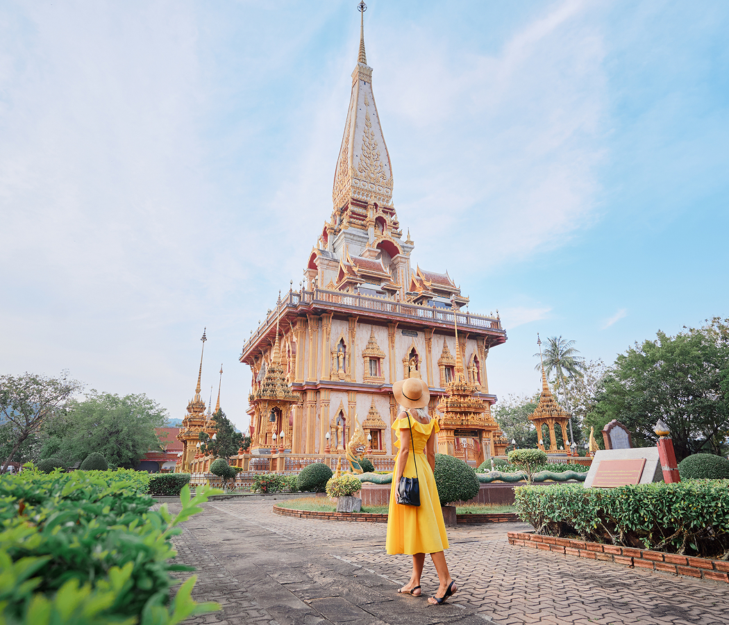
Begin at Wat Kitti Sangkharam, the Buddhist temple associated with Kata's established community since 1832, long before the surrounding coastline developed into an international resort district. Also known as Wat Kata, the monastery occupies an inland position along Patak Road and preserves a religious tradition rooted in the settlement's earlier residential and agricultural character. Its ordination hall incorporates richly colored architectural decoration, Buddhist sculpture and painted scenes from the life of the Buddha. Successive renovations and additions have renewed the monastic buildings, preserving the temple's religious function through the substantial transformation of the surrounding district. The monastery connects the coastline's modern tourism development with an enduring local Buddhist community. Continue to Windmill Viewpoint, the coastal hilltop associated with Thailand's pioneering experiments in wind-generated electricity. The Electricity Generating Authority of Thailand began installing experimental wind turbines on the Phromthep coastal ridge in 1983, using its exposure to the southwest and northeast monsoons to investigate renewable power generation. The project began supplying electricity to the distribution network in August 1990, marking Thailand's first generation of wind power for the grid. Additional turbines followed in 1992, and a larger 150-kilowatt installation arrived in 1996. The surviving coastal energy infrastructure gives the viewpoint a technical history directly connected to the environmental conditions of southern Phuket. Conclude at Promthep Cape, where the Royal Thai Navy developed Kanchanaphisek Lighthouse to commemorate the fiftieth anniversary of King Bhumibol Adulyadej's accession to the throne. Construction began on December 26, 1995, through a project supported by public contributions and an investment of 24 million baht. Crown Prince Maha Vajiralongkorn laid the foundation stone on April 12, 1996, and the lighthouse was inaugurated that July. Its navigational light was designed for visibility extending thirty-nine kilometers, combining a practical maritime function with the commemorative significance of the royal jubilee. The lighthouse subsequently incorporated displays of historical maritime equipment, extending the cape's connection to navigation across Phuket's southern waters. The progression moves from Kata's nineteenth-century Buddhist foundation through Thailand's pioneering coastal wind-energy project into the Royal Thai Navy's Kanchanaphisek Lighthouse, connecting religious continuity, technological experimentation and maritime commemoration across southern Phuket.
Where your story begins.
Foresyte Travel reveals places that feel extraordinary long before you arrive.
Enjoy editorial crafted for luxury travelers.