Why Lake Zürich matters.
Lake Zürich is a glacial lake where Zürich's metropolitan waterfront meets the historic trading communities of the Swiss Plateau, the medieval religious heritage of its southern shores and the Alpine geography that shaped centuries of regional commerce.
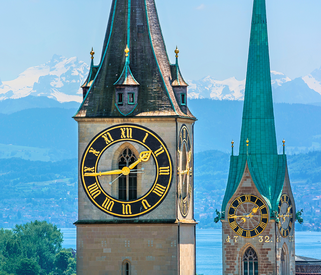
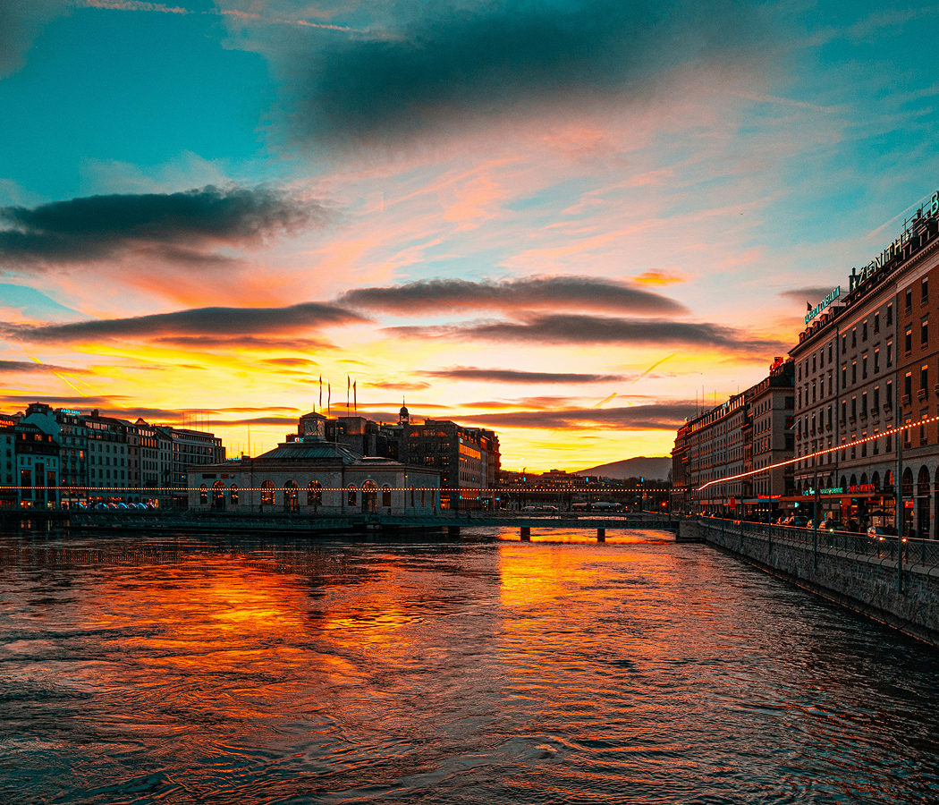
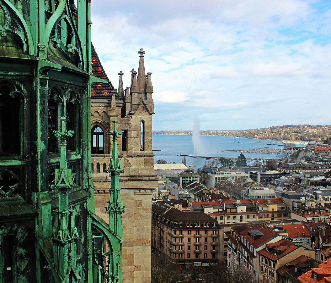
Set within the Zürichsee basin near Bürkliplatz and just steps from the Quaibrücke, the lake extends southeast from Central Zürich toward Rapperswil-Jona and Schmerikon, bordered by the wooded slopes of the Zimmerberg to the southwest and the Pfannenstiel ridge to the northeast. Its elongated surface follows a glacially carved valley, narrowing between steeply rising shores and opening into broad stretches of water framed by villages, vineyards and residential communities. Stone embankments, public bathing facilities and landscaped promenades establish a continuous relationship between the northern waterfront and the surrounding urban districts. Passenger vessels cross the lake between historic landing stages, connecting Zürich's commercial center with settlements whose church towers, waterfront houses and wooded hillsides define the shoreline. The result is a lake whose glacial geography, extensive navigation network and concentration of historic waterfront communities establish one of Switzerland's most consequential urban and regional landscapes.
What defines Lake Zürich.
Lake Zürich is best known for its distinctive glacial formation, its historical importance as a transportation corridor and its relationship with the development of Zürich as a major Swiss commercial center. The lake occupies a basin shaped by the Linth glacier during the Pleistocene, when advancing ice excavated and modified the valleys of the northern Alpine foreland. Glacial retreat left an elongated depression that filled with meltwater, establishing the geographical foundation of the lake and its surrounding drainage system. The lake extends 40 kilometers from Zürich toward its southeastern extremity, covering an area of 88 square kilometers. Its waters occupy the cantons of Zürich, Schwyz and St. Gallen, connecting communities whose economic and political histories developed across different Swiss territories. The Linth River provides the principal inflow through the adjoining upper lake system, carrying water from the Glarus Alps into the wider basin. The Linth correction works undertaken during the early nineteenth century transformed regional drainage by redirecting the river into Walensee and establishing a regulated connection toward the upper reaches of Lake Zürich. Swiss engineer Hans Conrad Escher played a central role in the project, which addressed recurrent flooding and marshland conditions across the Linth plain. The construction of the Escher Canal and Linth Canal represented a major achievement in Swiss hydraulic engineering, reshaping the relationship between Alpine runoff and the lake system. At the northwestern end, the Limmat carries water out of the lake through Zürich, connecting the basin with the Aare and ultimately the Rhine drainage network. The lake's navigable waters supported the movement of goods and passengers long before the development of modern railway infrastructure. Medieval communities used the waterway to transport agricultural products, building materials and merchandise between lakeside settlements and Zürich's urban markets. The lake's southern shores acquired particular religious importance through the establishment of Einsiedeln Abbey's regional connections and the development of Rapperswil as a fortified settlement overlooking important routes. The city of Rapperswil developed around a castle established during the thirteenth century, strengthening the strategic importance of the lake's southeastern shore. The construction of the medieval wooden bridge between Rapperswil and Hurden created an important crossing associated with pilgrimage routes and regional movement. During the nineteenth century, steam navigation transformed passenger transportation, establishing scheduled services that connected Zürich with lakeside communities and recreational destinations. The expansion of railways subsequently strengthened regional access, supporting residential development and the growth of waterfront tourism. Lake Zürich's historical significance rests on the interaction between glacial geography, hydraulic engineering, commercial navigation and the development of interconnected settlements across three Swiss cantons.
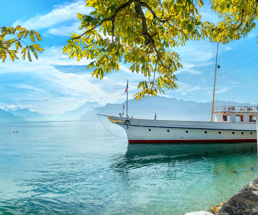
The Zürichsee-Schifffahrtsgesellschaft operates the lake's principal passenger navigation network, maintaining a maritime tradition that became central to regional transportation during the nineteenth century. Its fleet includes historic paddle steamers and modern motor vessels, providing scheduled connections between Zürich and numerous lakeside landing stages. The paddle steamers Stadt Zürich and Stadt Rapperswil represent important examples of early twentieth-century passenger-vessel engineering, preserving machinery and architectural details associated with the era of steam navigation. Their broad decks and enclosed passenger salons establish a distinctive setting for observing the shoreline, with routes passing residential districts, wooded slopes and historic waterfront settlements. The lake's depth reaches 136 meters, reflecting the substantial excavation produced by glacial activity within the basin. Seasonal temperature changes influence the lake's water circulation, with thermal stratification developing during warmer periods and mixing processes redistributing oxygen and nutrients through the water column. The surrounding hills contribute runoff through smaller streams, supporting an aquatic environment inhabited by numerous fish species. Perch, pike and whitefish form part of the lake's freshwater ecology, sustaining recreational fishing and longstanding regional culinary traditions. Water quality management became an important public priority during the twentieth century as population growth and industrial activity increased pressure on the lake's ecosystem. Wastewater treatment improvements and coordinated environmental policies reduced nutrient pollution, supporting the recovery of water clarity and aquatic conditions. Public bathing establishments occupy numerous shoreline locations, connecting the lake's ecological importance with Zürich's established outdoor swimming culture. The city's historic bathing facilities incorporate wooden platforms, enclosed swimming areas and direct access to the water, preserving architectural traditions associated with nineteenth-century public recreation. Sailing clubs and rowing associations contribute another dimension to the lake's sporting culture, with organized activities taking place across its sheltered waters. The surrounding vineyards benefit from the moderating influence of the lake, supporting wine production on selected slopes overlooking the basin. Residential development along the Gold Coast, the northeastern shore extending toward Küsnacht and Meilen, reflects the desirability of waterfront property within the Zürich metropolitan region. The opposite shoreline contains substantial communities connected by rail services, roads and ferry operations, creating an extensive network of settlements organized around the lake's geography. The Meilen-Horgen ferry provides an important cross-lake transportation connection, linking the opposing shores through a regular vehicle and passenger service. The lake's combination of historic navigation, freshwater ecology, public recreation and regional settlement establishes a distinctive geographical foundation for the cultural and economic development of northeastern Switzerland.
How Lake Zürich fits.
Lake Zürich works as the geographical centerpiece for a waterfront itinerary connecting Zürich's nineteenth-century landscape planning, the medieval history of the lake's southeastern communities and the engineering heritage of Switzerland's inland navigation network.
Begin at Zürichhorn, the landscaped waterfront park extending along the eastern shore near the Zürich city center. The grounds developed through nineteenth-century shoreline improvements that transformed former waterfront land into public recreational space. Broad lawns, mature trees and winding paths establish an extensive garden environment overlooking the lake and the distant Alpine foothills. The park contains the Chinese Garden Zürich, a traditional garden presented to the city by Kunming in 1994 as a symbol of the relationship between the two cities. Its architectural composition incorporates pavilions, ornamental water features and carefully arranged planting associated with Chinese garden traditions. The surrounding shoreline provides extensive views toward the southern reaches of the lake, connecting the city's public landscape with the wider geographical setting. Continue to Rapperswil Castle, the medieval fortress overlooking the lake from the elevated historical center of Rapperswil-Jona. The castle originated during the thirteenth century under the Counts of Rapperswil, establishing a fortified residence that controlled important approaches to the surrounding settlement. Its substantial stone walls, towers and enclosed courtyard preserve the architectural character of a medieval noble stronghold. The elevated position provides extensive views across the lake toward the opposite shoreline and the narrow crossing at Hurden. The castle's history connects the development of regional noble authority with the strategic importance of the lake's southeastern transportation routes. Conclude at Rapperswil-Hurden Wooden Bridge, the pedestrian crossing that follows a historical route across the lake's narrow upper section. A medieval bridge was constructed during the fourteenth century, strengthening connections between Rapperswil and Hurden and supporting pilgrimage traffic toward Einsiedeln. The modern wooden footbridge opened in 2001, reestablishing a pedestrian connection along the historic crossing corridor. Its timber walkway passes across shallow water and protected shoreline habitats, providing views of aquatic vegetation, birdlife and the surrounding Alpine foothills. The crossing connects the lake's transportation history with the preservation of its natural shoreline environment. The progression moves from Zürich's landscaped public waterfront through the fortified medieval settlement of Rapperswil and culminates in a historic lake crossing associated with regional pilgrimage and transportation.
Where your story begins.
Foresyte Travel reveals places that feel extraordinary long before you arrive.
Enjoy editorial crafted for luxury travelers.
Foresyte may earn a commission when you book.