Why Sơn Trà Mountain matters.
Sơn Trà Mountain is a forested coastal mountain where Sơn Trà Peninsula's protected tropical wilderness meets the maritime history of Da Nang Bay, the strategic geography of Central Vietnam and one of the world's most important surviving populations of red-shanked douc langurs.
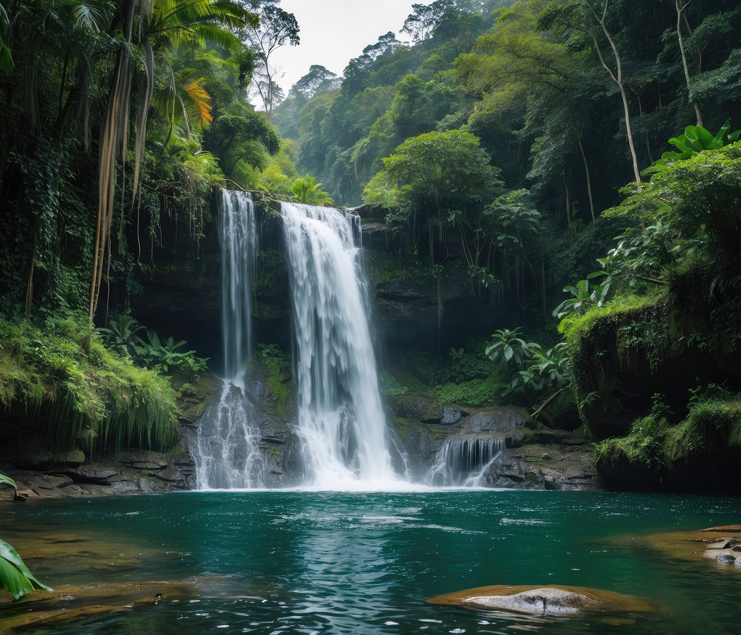
Rising northeast of Central Da Nang between Tiên Sa Port and the open waters of the East Sea, the mountain forms the elevated interior of a peninsula connected to the mainland by the coastal districts surrounding Thọ Quang. Its granite massif reaches 696 meters above sea level, with steep ridgelines descending toward rocky headlands, sheltered beaches and the deep natural harbor along its western flank. Dense evergreen forest covers much of the upper slopes, where mature trees, climbing vegetation and an interconnected canopy occupy terrain interrupted by exposed rock formations and narrow drainage channels. Winding mountain roads traverse the ridges through successive hairpin bends, opening toward elevated viewpoints overlooking the Hàn River estuary, the Hải Vân Mountains and the long sandy coastline extending south toward Hội An. The result is a mountainous coastal landscape whose concentrated elevation, extensive forest cover and commanding maritime position establish a defining geographical feature of Da Nang.
What defines Sơn Trà Mountain.
Sơn Trà Mountain is best known for preserving a strategically important coastal forest whose history connects the maritime defense of Vietnam, American military operations and the conservation of the endangered red-shanked douc langur. Its geological foundation consists principally of granite, forming a resistant mountainous projection associated with the eastern continuation of the Trường Sơn system. The surrounding peninsula extends fifteen kilometers from east to west and occupies 4,390 hectares, creating a substantial natural barrier between the open sea and the sheltered waters of Da Nang Bay. Its position near the entrance to the Hàn River established an important relationship with the maritime routes connecting Central Vietnam to regional trading networks. During the centuries of Cham political authority, the surrounding coastal territories formed part of the northern regions of Champa, whose settlements maintained commercial and cultural connections with the wider South China Sea. The subsequent expansion of Vietnamese authority into the region increased the strategic importance of the peninsula as a coastal landmark near the developing port of Tourane. In 1803, Emperor Gia Long rejected British interest in establishing a trading facility near the peninsula, preserving Vietnamese control over a strategically sensitive maritime position. The coastal defenses acquired additional importance during the nineteenth century as European naval powers expanded their commercial and military presence in East Asia. In September 1858, French and Spanish forces attacked Tourane, beginning a military campaign that introduced sustained European intervention into Vietnamese affairs. The surrounding harbor and coastal fortifications became central to the campaign, whose eventual failure to secure a decisive position at Da Nang preceded the movement of French military operations farther south. During the French colonial period, the peninsula's elevated terrain continued to provide an important vantage point over the harbor approaches and surrounding coastal waters. The mountain's strategic role expanded substantially during the Vietnam War, when American forces developed major military installations around Da Nang following the establishment of a substantial United States military presence in 1965. The mountain became widely known to American service personnel as Monkey Mountain, a name associated with the primates inhabiting its forested slopes. Military construction had already begun in 1962, when the American contractor RMK-BRJ undertook the development of an air-control radar station on the northern summit. The project incorporated a road ascending the mountain and a complex of buildings supporting radar operations, communications and military personnel. The resulting installation became an important component of the American air-defense and surveillance network in Central Vietnam, monitoring aircraft movements and supporting the coordination of military operations. The mountain also accommodated signals-intelligence facilities and communications equipment operated by United States Air Force and Marine Corps personnel. Its elevated position provided extensive radar coverage across the surrounding coastal approaches, connecting the installation to the broader defense of Da Nang Air Base and associated military facilities. The military presence also introduced substantial changes to the mountain's infrastructure, including roads, cleared areas and permanent construction within previously forested terrain. American military personnel recorded the presence of red-shanked douc langurs during this period, contributing to early scientific observations of a species whose distribution was becoming increasingly restricted across mainland Southeast Asia. Primatologist Linda Van Peenan and colleagues published observations concerning the mountain's primates in 1971, establishing an important early record of the local population. Conservation researcher Linda Lippold subsequently conducted fieldwork on the peninsula in 1974, developing a more detailed understanding of the species' behavior and habitat requirements. Following the conclusion of the war, the mountain's ecological importance became an increasingly significant concern for Vietnamese authorities. In 1977, the government designated the area as a protected forest under Decision No. 41, establishing an early legal foundation for the conservation of its remaining natural habitats. The protection program expanded in 1992, when the area received national nature-reserve status in recognition of its biodiversity and the presence of endangered primates. Scientific investigations during the 1990s established the continued survival of red-shanked douc langurs following earlier concerns that the population had disappeared. These findings renewed conservation attention and contributed to subsequent research into the peninsula's forest ecology. The reserve's protection became increasingly important as Da Nang expanded through the development of new roads, residential districts and coastal tourism infrastructure. Conservation organizations and Vietnamese researchers subsequently undertook additional population surveys, habitat assessments and environmental education programs. The species became an important symbol of local biodiversity protection, drawing international attention to the ecological importance of an isolated coastal forest adjacent to a major urban center. Sơn Trà Mountain preserves a historical progression from maritime defense and military surveillance to the conservation of a globally threatened primate, establishing its significance through the relationship between strategic geography, human intervention and the protection of tropical forest ecosystems.
Pygathrix nemaeus, the red-shanked douc langur, provides the clearest explanation of the mountain's ecological importance because its survival depends on the structure, continuity and botanical diversity of the surrounding forest. The species belongs to the colobine group of Old World monkeys, whose digestive systems are adapted to a diet containing substantial quantities of leaves and other fibrous plant material. Its distinctive coloration incorporates reddish lower legs, pale forearms, a golden face and contrasting dark and light body markings, creating one of the most recognizable appearances among Southeast Asian primates. These physical characteristics become particularly apparent when individuals move through the upper canopy, where sunlight penetrates the foliage and illuminates their contrasting limbs. The species occupies social groups that travel through interconnected branches, using the forest canopy as a principal route for movement between feeding and resting areas. Its long tail contributes to balance during movement through the trees, supporting controlled leaps and changes of direction across uneven branches. The mountain's mature forest provides the vertical structure necessary for this movement, with overlapping crowns allowing animals to travel across substantial areas above the ground. Feeding behavior introduces another important relationship between the primates and the surrounding vegetation because the animals select particular leaves according to their nutritional characteristics and stage of growth. Young leaves frequently contain greater concentrations of digestible nutrients and lower quantities of defensive compounds than mature foliage, creating an important distinction within the available plant material. The langurs also consume flowers, fruits and seeds, allowing seasonal changes in the forest to influence their feeding patterns. Their specialized stomachs support microbial fermentation of fibrous vegetation, making it possible to extract nutrients from plant material that many other primates cannot digest efficiently. This digestive adaptation creates a dependence on suitable botanical resources distributed across a sufficiently extensive habitat. The forest's diversity supports the population through the availability of different food plants across changing seasons and elevations. Social behavior develops within this environment through groups containing adults, juveniles and infants whose movements depend on access to suitable feeding trees. Young animals learn to navigate the canopy through repeated movement alongside older group members, developing the coordination required to cross gaps between branches. The mountain's steep terrain introduces additional variation because forest structure changes across ridgelines, sheltered valleys and exposed coastal slopes. Wind exposure and soil depth influence tree growth, creating differences in canopy height and density that affect the movement of arboreal animals. The availability of continuous forest corridors becomes particularly important where roads or cleared areas interrupt the vegetation, increasing the difficulty of movement between feeding territories. The peninsula's geographical isolation intensifies this concern because the surrounding urban development limits natural connections with other forest populations. Conservation efforts depend on maintaining habitat continuity, protecting mature trees and reducing disturbances within important feeding and breeding areas. The mountain also supports other primates, including macaques, whose behavior differs substantially from that of the more specialized douc langurs. Macaques frequently occupy accessible roadside areas and display greater tolerance of human activity, creating opportunities for encounters near viewpoints and developed facilities. The contrast between these species demonstrates the different ecological requirements of primates occupying the same mountainous landscape. Douc langurs generally depend more strongly on forest canopy resources, making their conservation closely connected to the preservation of extensive woodland. Birdlife introduces another dimension through species occupying different levels of the vegetation, from the forest floor to the upper canopy. Insects, reptiles and smaller mammals contribute to the wider ecological relationships supporting the forest, including pollination, seed dispersal and the decomposition of organic material. The mountain's vegetation also plays an important role in stabilizing steep slopes, reducing erosion and regulating the movement of rainfall through the watershed. Dense root systems help bind the soil, and accumulated leaf litter moderates the impact of heavy tropical rainfall on exposed ground. These functions become particularly significant during Central Vietnam's wet season, when intense precipitation can increase runoff and the risk of localized slope instability. Sơn Trà Mountain's ecological importance emerges from this interconnected relationship between forest structure, specialized primate biology, seasonal plant resources and the protection of a relatively isolated coastal habitat, establishing the red-shanked douc langur as a defining indicator of the mountain's conservation significance.
How Sơn Trà Mountain fits.
Sơn Trà Mountain works as the centerpiece of an exploration connecting the Buddhist traditions of Da Nang's fishing communities, the peninsula's surviving coastal forest and the maritime infrastructure developed around its strategic position.
Begin at Linh Ứng Pagoda Sơn Trà, the expansive Buddhist sanctuary occupying an elevated coastal position above Bãi Bụt. Construction began on August 4, 2004, and the complex was inaugurated on July 30, 2010, establishing one of Da Nang's most prominent contemporary religious institutions. Its principal monument is the sixty-seven-meter statue of the Bodhisattva of Compassion, commonly known as Lady Buddha, whose position overlooking the sea connects the sanctuary to local traditions concerning the protection of fishermen. The temple complex incorporates a substantial main sanctuary, ceremonial courtyards, religious sculptures and an arrangement of Arhat statues associated with Buddhist spiritual attainment. Its religious importance also derives from a nineteenth-century local tradition concerning a sacred image that washed ashore during the reign of Emperor Minh Mạng, contributing to the area's association with Buddhist protection. Continue to Sơn Trà Thousand-Year-Old Banyan Tree, the ancient forest landmark whose extensive root system has become one of the peninsula's most recognizable natural monuments. The tree belongs to the banyan group of figs, whose aerial roots descend from branches and gradually develop into additional supporting trunks. Its substantial crown extends across a broad area of forest, creating a complex arrangement of intertwined branches and roots that supports the weight of the mature canopy. The tree's traditional thousand-year age is an approximate local designation, reflecting its exceptional size and longstanding cultural importance. Its biological significance derives from the relationship between fig trees and the surrounding forest community, including birds and mammals that consume their fruit and contribute to seed dispersal. The surrounding woodland preserves a substantial example of the mature vegetation that once occupied larger areas of the peninsula. Conclude at Tiên Sa Port, the principal maritime facility occupying the sheltered western shoreline of the peninsula near the entrance to Da Nang Bay. The harbor's natural depth and protected position contributed to its development as an important port serving Central Vietnam's commercial and military transportation requirements. Modern port expansion introduced substantial cargo-handling infrastructure, container facilities and passenger terminals, strengthening connections between Da Nang and regional shipping networks. Its strategic position near the principal maritime routes of the South China Sea supports the movement of manufactured goods, agricultural products and international cruise passengers. The surrounding harbor also preserves the geographical relationship between the peninsula's mountainous terrain and the sheltered waters that contributed to Da Nang's development as a major coastal city. The progression moves from Linh Ứng Pagoda Sơn Trà's Buddhist maritime traditions through Sơn Trà Thousand-Year-Old Banyan Tree's ancient forest ecology and culminates in Tiên Sa Port's commercial infrastructure, connecting the religious, environmental and strategic importance of the peninsula.
Where your story begins.
Foresyte Travel reveals places that feel extraordinary long before you arrive.
Enjoy editorial crafted for luxury travelers.
Foresyte may earn a commission when you book.