Why Tegenungan Waterfall matters.
Tegenungan Waterfall is a riverine cascade where Kemenuh's volcanic landscape meets the Petanu River's drainage system, the agricultural settlements of southern Gianyar and Bali's longstanding relationship between freshwater, forested ravines and Hindu religious traditions.
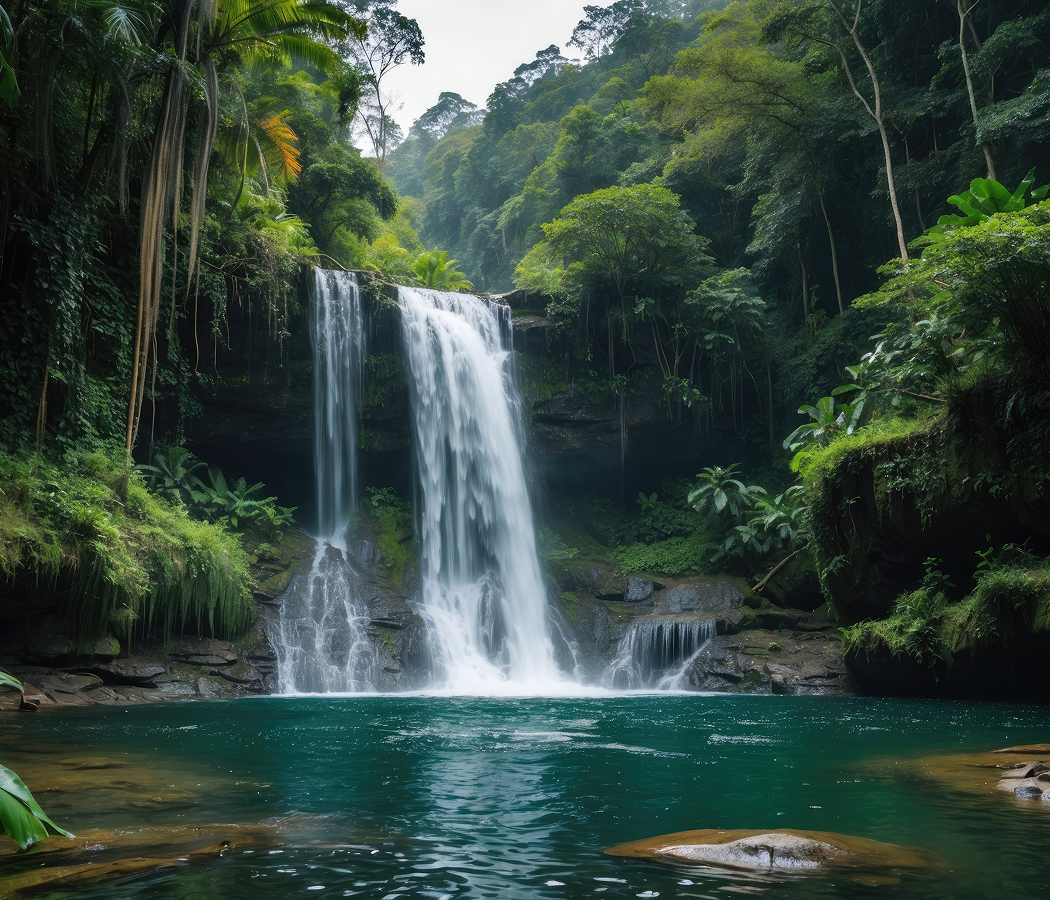
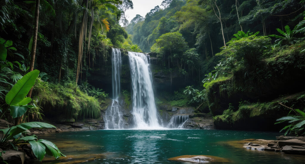
Set along Jalan Ir. Sutami near Jalan Raya Tegenungan and not far from the village of Tegenungan, the waterfall occupies a forested bend of the Petanu River south of Ubud, where steep volcanic slopes descend toward a plunge pool enclosed by tropical vegetation and exposed rock. A descending staircase connects the upper entrance with the riverbank. The waterfall drops over a broad rock face into a basin bordered by boulders and sediment deposits. Elevated platforms provide views across the ravine and surrounding agricultural terrain. The result is a river valley attraction whose physical character derives from volcanic erosion, seasonal water flow and the settlement geography of Central Bali.
What defines Tegenungan Waterfall.
Tegenungan Waterfall is best known for its broad river cascade, its accessible plunge pool and its location within the agricultural landscape of Gianyar Regency. The waterfall forms part of the Petanu River system, which drains portions of Bali's volcanic interior toward the island's southeastern coast. The river's course developed through terrain shaped by volcanic deposits, erosion and successive changes in the island's drainage patterns. Its channel cuts through consolidated volcanic material, creating steep banks and exposed rock formations along sections of the valley. The waterfall occupies a natural break in the river's longitudinal profile, where water descends over a resistant rock ledge. Seasonal rainfall influences the volume and appearance of the cascade, particularly during Bali's wetter months. The surrounding watershed supports agricultural communities whose cultivation depends upon rainfall, river channels and irrigation infrastructure. Gianyar's rural settlements developed around rice cultivation, temple institutions and the communal organization of water resources. The Balinese subak system coordinates irrigation through associations of farmers who maintain canals, allocate water and conduct agricultural ceremonies. Religious traditions associated with rivers and springs contribute to the cultural importance of freshwater within the surrounding villages. Tegenungan developed as a recreational destination through the construction of access staircases, viewing platforms and visitor facilities along the ravine. Its proximity to Ubud and the principal routes connecting Denpasar with Gianyar contributed to increasing visitation. Local enterprises established food stalls, cafés and other services near the upper entrance and riverbank. The resulting facilities created an organized route between the village and the waterfall while retaining the river's natural course. The site subsequently became a recognized stop within the wider network of natural attractions in southern Gianyar.
The Petanu River supplies the waterfall through a channel descending from Bali's central highlands toward the coastal lowlands. Its flow responds to rainfall across the upstream watershed, producing changes in water volume, sediment concentration and the force of the cascade. During periods of substantial rainfall, suspended sediment gives the water a brown coloration associated with erosion and runoff. The waterfall's broad crest distributes the descending water across an uneven rock surface, creating separate streams that converge in the basin below. The plunge pool forms through the hydraulic action of falling water against the underlying rock and sediment. Large boulders along the riverbank contribute to the irregular shape of the channel and surrounding bathing areas. The ravine's steep slopes support tropical vegetation adapted to humid conditions and periodic disturbance along the river margins. Bamboo, broadleaf trees and other plants form a canopy over portions of the descending access route. The staircase from the upper entrance follows the slope through several changes in elevation, exposing different views of the waterfall as the path approaches the river. Elevated viewing platforms provide a wider perspective of the cascade and its surrounding valley. The lower riverbank places the waterfall's rock face and plunge pool within close view. Water conditions change with rainfall and upstream runoff, affecting the suitability of the pool for bathing. The surrounding facilities include designated viewing areas and pathways developed to manage movement through the ravine. The site's physical arrangement connects a natural river cascade with the agricultural and recreational landscape of Gianyar's southern villages.
How Tegenungan Waterfall fits.
Tegenungan Waterfall works as the river landscape centerpiece for a Gianyar outing connecting traditional Balinese architecture, village craft production and the religious institutions associated with the island's agricultural settlements.
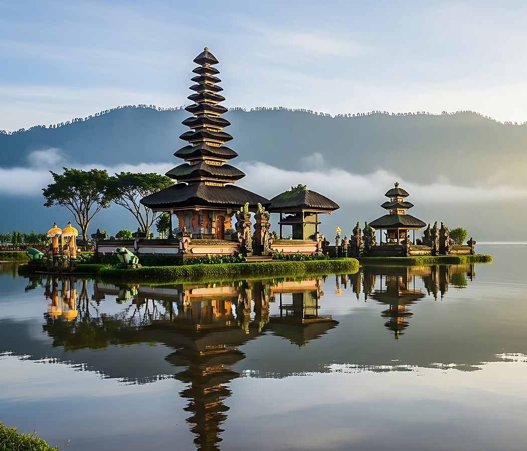
Begin at Batuan Temple, the Hindu temple complex situated in the village of Batuan south of Ubud. The temple's history is associated with the development of Balinese village institutions and religious architecture over successive centuries. Its courtyards incorporate carved stone gateways, shrines and pavilion structures arranged according to traditional Balinese temple planning. Decorative reliefs depict figures and ornamental forms associated with Hindu mythology and local religious practice. The surrounding village is also known for a distinctive tradition of Balinese painting characterized by detailed compositions and densely arranged figures. The temple connects religious architecture with the artistic practices maintained by local communities. Continue to Celuk Village, the settlement associated with Bali's silver and goldsmithing traditions. Workshops throughout the village produce jewelry and decorative objects using techniques that include casting, soldering, repoussé and fine wire ornament. Family enterprises have contributed to the transmission of metalworking skills across generations. The village's craft economy expanded alongside Bali's development as a center for international cultural tourism during the twentieth century. Workshops and galleries display jewelry, ceremonial ornaments and decorative metalwork developed through both traditional and contemporary designs. The settlement preserves the relationship between specialized craft production and the commercial networks of southern Gianyar. Conclude at Pura Samuan Tiga, the Hindu temple complex near Bedulu associated with the historical development of Balinese religious institutions. Its name refers to a meeting of three, connecting the sanctuary with traditions concerning the consolidation of religious practices in Bali. The complex contains multiple courtyards, shrines and ceremonial structures arranged within a substantial temple precinct. Its architectural forms incorporate carved gateways, stone altars and traditional pavilion construction. The temple hosts religious ceremonies involving surrounding communities and maintains an important place within the ritual geography of Gianyar. The progression moves from village temple architecture through specialized metalworking and culminates at a historic religious institution, connecting Tegenungan Waterfall with the cultural and agricultural traditions of southern Bali.
Where your story begins.
Foresyte Travel reveals places that feel extraordinary long before you arrive.
Enjoy editorial crafted for luxury travelers.
Foresyte may earn a commission when you book.