Why McPolin Farm Nature Trail matters.
McPolin Farm Nature Trail is a historic walking route where Thaynes' agricultural heritage meets Park City's commitment to open-space preservation, connecting a century-old dairy farmstead, the natural landscape of Snyderville Basin and the mountain community's transition from mining settlement to year-round recreational destination.
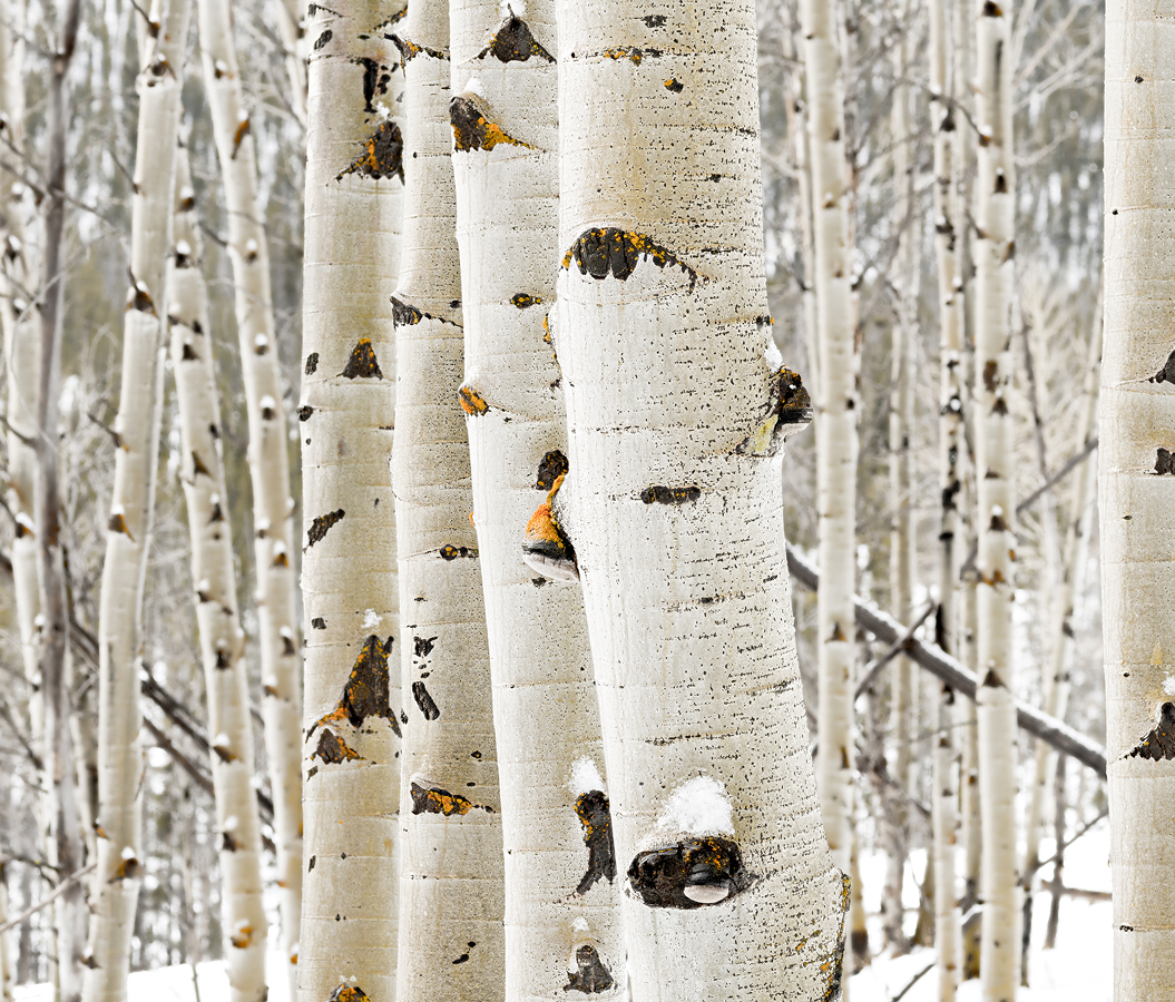
Following the western side of State Route 224 between the residential slopes of Thaynes and the open meadows approaching Snyderville Basin, the trail traverses the historic McPolin Farm property beneath the forested ridgelines of the Wasatch Mountains, with access from a parking area connected to the farm by a pedestrian underpass. Its gently graded route incorporates paved sections, natural-surface paths and shaded passages through groves of aspen trees. Open pastureland extends across the lower slopes, creating broad views toward the surrounding mountains and the historic agricultural buildings occupying the center of the property. Interpretive markers, occasional benches and carefully maintained pathways establish a pedestrian environment suited to walking, running and observing the changing seasonal landscape. The surrounding vegetation incorporates native grasses, wildflowers and mature trees, with the adjacent creek corridor contributing additional habitat for birds and small mammals. The result is an accessible nature trail whose pastoral surroundings, preserved agricultural setting and connection to Park City's recreational pathways establish a distinctive outdoor destination.
What defines McPolin Farm Nature Trail.
McPolin Farm Nature Trail is best known for connecting Park City's recreational trail network to one of Summit County's most significant surviving agricultural properties, preserving the relationship between the region's silver-mining economy and the farms that supplied its growing population. The property's origins reach back to 1886, when Harrison P. McLane and his wife acquired a 160-acre homestead north of the developing mining settlement. The McLane family established cattle operations on the land, participating in an agricultural economy that supplied food to miners and their families. Following McLane's death, Dan McPolin and Patrick McAleeman purchased eighty acres for $600 in 1897, introducing the ownership association that subsequently gave the property its enduring name. McPolin acquired additional land from the McLane estate for $750 in 1901, expanding the cattle operation during a period of substantial industrial activity in Park City. Dan and Isabelle McPolin had emigrated from Ireland, joining the immigrant communities whose labor and entrepreneurship contributed to the economic development of the surrounding region. The family also maintained commercial interests in Park City through a brewery and bottling operation, establishing connections between agricultural production and the wider local economy. Following Dan McPolin's death in 1922, his son Patrick inherited the property and expanded its dairy operations with his wife, Grace. The family constructed a substantial white barn using timber salvaged from an earlier mining installation, adapting industrial lumber to the requirements of agricultural construction. Its structural frame incorporated carefully fitted timbers assembled through traditional joinery, establishing an important example of early twentieth-century rural craftsmanship. The barn eventually became the most recognizable surviving agricultural structure along Park City's northern entrance corridor. Patrick and Grace McPolin developed a dairy business supplying milk to the surrounding community, contributing to the agricultural infrastructure that supported local households during the mining industry's changing economic circumstances. In 1947, the family sold the property to Salt Lake City veterinarian D. A. Osguthorpe for $35,000, beginning another substantial period of agricultural development. Osguthorpe expanded the dairy herd to one hundred cattle and introduced improvements intended to increase production efficiency. A dedicated milking parlor was constructed in 1954, incorporating equipment and facilities associated with the modernization of commercial dairy farming. The operation also incorporated grain storage, livestock enclosures and specialized agricultural outbuildings, establishing a substantial working farmstead. During the middle decades of the twentieth century, Park City's mining industry experienced a prolonged decline that substantially reduced employment and population. The subsequent development of skiing and mountain recreation introduced a different economic foundation, gradually transforming the surrounding valleys through residential construction and recreational infrastructure. The Osguthorpe family continued agricultural operations through this transition, preserving a substantial area of pastureland along an increasingly important transportation corridor. Plans to widen the adjoining highway during the 1980s introduced considerable pressure on the farm's long-term viability. Following negotiations involving the Utah Department of Transportation and local authorities, the Osguthorpe family agreed to sell two hundred acres to Park City Municipal Corporation. The city completed the purchase in 1990 for $4.4 million, establishing a major public investment in the preservation of agricultural open space. Municipal management introduced a different purpose for the property, emphasizing the conservation of historic structures, protection of the landscape and development of public recreational access. An entryway corridor master plan adopted in 1995 established preservation priorities for the farmstead and its surrounding natural environment. The plan supported the creation of recreational trails, improvements to public access and stabilization of the historic agricultural buildings. Municipal projects subsequently incorporated a pedestrian underpass beneath the highway, connecting the recreational pathways to the protected property. The McPolin Farm was added to the National Register of Historic Places in 2004, recognizing its significance as a surviving agricultural complex associated with the economic development of Park City. Friends of the Farm, a municipal volunteer advisory organization formed in 2001, contributed to restoration projects, historical interpretation and community programming. The development of the nature trail emerged from a broader preservation undertaking that transformed a former commercial dairy into a public landscape devoted to agricultural history, recreation and environmental stewardship.
McPolin Farm's recreational environment develops through the integration of historic agricultural architecture, accessible pathways and a mountain landscape preserved from the residential expansion that transformed much of the surrounding valley. The principal nature trail forms an 1.6-mile loop with an elevation gain of 160 feet, establishing a gentle route suitable for a relatively short excursion. Its paved approach connects the trailhead to the historic farm buildings, creating an accessible introduction to the property's agricultural character. The route subsequently incorporates natural-surface sections passing through aspen groves and open terrain, providing a changing sequence of enclosed woodland and expansive mountain views. Interpretive signs introduce the historical functions of individual buildings and agricultural features, connecting the surviving farmstead to the working practices of earlier generations. The main barn incorporates a substantial gambrel roof, establishing the characteristic double-sloped profile associated with agricultural buildings designed to maximize upper-level storage. Its white exterior and considerable dimensions create a prominent visual feature against the surrounding green pastures and wooded mountainsides. The building encompasses 7,468 square feet, including its substantial loft, whose structural arrangement supported the storage of hay and agricultural equipment. The adjoining milking parlor occupies 1,500 square feet, preserving evidence of the specialized facilities introduced during the farm's later commercial development. Large windows permit observation of the barn's interior structure, allowing the craftsmanship of the timber frame to be appreciated from outside the building. The farmstead also incorporates two concrete grain silos constructed in 1953, establishing a distinctive architectural contrast with the surrounding timber buildings. Their cylindrical forms preserve the development of specialized feed-storage infrastructure associated with the modernization of dairy operations. A board-and-batten granary contributes another important agricultural structure through its compact proportions and traditional timber construction. The surviving tool shed, livestock shelter and bunkhouse preserve additional elements of the working environment, demonstrating the varied facilities required to operate a substantial mountain dairy. The bunkhouse dates to 1932 and underwent restoration during the early twenty-first century, preserving an example of the modest accommodation associated with agricultural labor. A reconstructed farmhouse occupies the former residential area, incorporating the pyramidal roof form associated with early Park City domestic architecture. The building measures four hundred square feet and contains period furnishings that introduce the domestic circumstances of the farm's former occupants. Its historical interpretation incorporates the earlier use of the original structure as an office associated with a mining operation, establishing another connection between the region's industrial and agricultural development. The reconstructed equipment shed accommodates public restrooms and community facilities, supporting recreational access through the historic property. The surrounding trail network connects the farmstead to longer walking and cycling routes, allowing the preserved agricultural landscape to function as part of Park City's broader system of nonmotorized transportation. Seasonal conditions substantially alter the character of the route, with spring wildflowers, summer vegetation, autumn foliage and winter snow creating distinct environments across the surrounding fields and wooded slopes. The property also supports wildlife associated with the transitional landscape between mountain forest and open pasture. Bluebird nesting boxes maintained through local conservation efforts contribute to the protection of native bird populations. The combination of accessible walking routes, preserved agricultural structures and substantial open space establishes the nature trail as an important example of Park City's investment in the conservation of its rural landscape.
How McPolin Farm Nature Trail fits.
McPolin Farm Nature Trail works as the starting point for an exploration connecting the foothill geography of the Wasatch Mountains, the recreational development of Snyderville Basin and the preservation of the region's extensive wetland habitats.
Begin at Quarry Mountain Trailhead, a public access point established along Meadows Drive on the eastern side of the highway corridor. Park City opened the improved trailhead on July 23, 2024, introducing a dedicated parking area intended to improve access and reduce conflicts between recreational users and passing traffic. The facility incorporates eleven parking spaces, including an accessible stall, together with a trail map and a dog-waste station. The adjoining hiking route climbs toward the upper slopes of Quarry Mountain, gaining 758 feet across a moderately demanding round-trip excursion of two miles. Its elevated sections provide extensive views across the surrounding residential neighborhoods and mountain terrain, establishing a contrasting recreational environment to the gentle agricultural pathways below. Continue to Willow Creek Park, the substantial community recreation area developed within the residential neighborhoods of Snyderville Basin. The park encompasses 17.5 acres, incorporating athletic fields, sports courts, walking paths and landscaped public gathering areas. Its pond contributes an important recreational feature, with surrounding pathways connecting the water to open lawns and the adjoining community facilities. The Snyderville Basin Recreation District collaborated with the National Ability Center to develop an inclusive playground incorporating accessible ramps, specialized equipment and nature-inspired play structures. Its design accommodates children with different physical abilities through carefully organized circulation, supportive surfaces and interactive installations, establishing an important example of accessible community recreation. Conclude at Swaner Preserve and EcoCenter, the conservation institution protecting 1,200 acres of wetlands and upland habitat near Kimball Junction. Its origins reach back to 1993, when the Spring Creek Angus Ranch Partnership donated 190 acres in memory of Leland Swaner, establishing the foundation for a substantial environmental preservation initiative. The protected landscape subsequently expanded through additional land acquisitions and conservation agreements, incorporating 850 acres of wetlands and 350 acres of sagebrush uplands. A 10,000-square-foot environmental education center opened in 2008 and received LEED Platinum certification in 2009, establishing an important achievement in sustainable public architecture. Utah State University assumed responsibility for the institution in 2010, strengthening its educational and conservation programs. The progression moves from Quarry Mountain Trailhead's elevated foothill terrain through Willow Creek Park's community recreation facilities and culminates in Swaner Preserve and EcoCenter's protected wetlands, connecting three complementary approaches to outdoor recreation and environmental stewardship in Snyderville Basin.
Where your story begins.
Foresyte Travel reveals places that feel extraordinary long before you arrive.
Enjoy editorial crafted for luxury travelers.
Foresyte may earn a commission when you book.