Why Pinckney Island National Wildlife Refuge matters.
Pinckney Island National Wildlife Refuge is a protected coastal sanctuary where the South Carolina Lowcountry's tidal estuaries meet centuries of plantation history, the conservation of Atlantic Flyway bird habitats and the restoration of a former agricultural estate into a federally managed wildlife refuge.
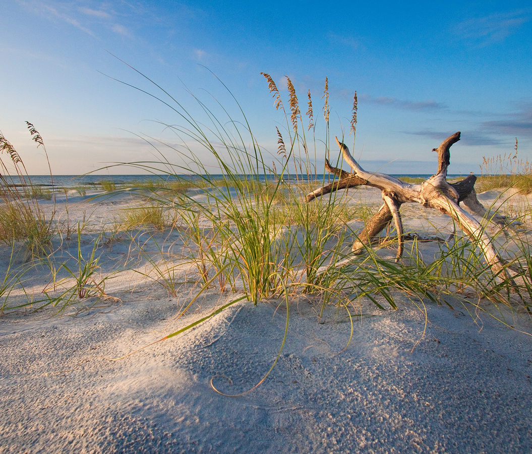
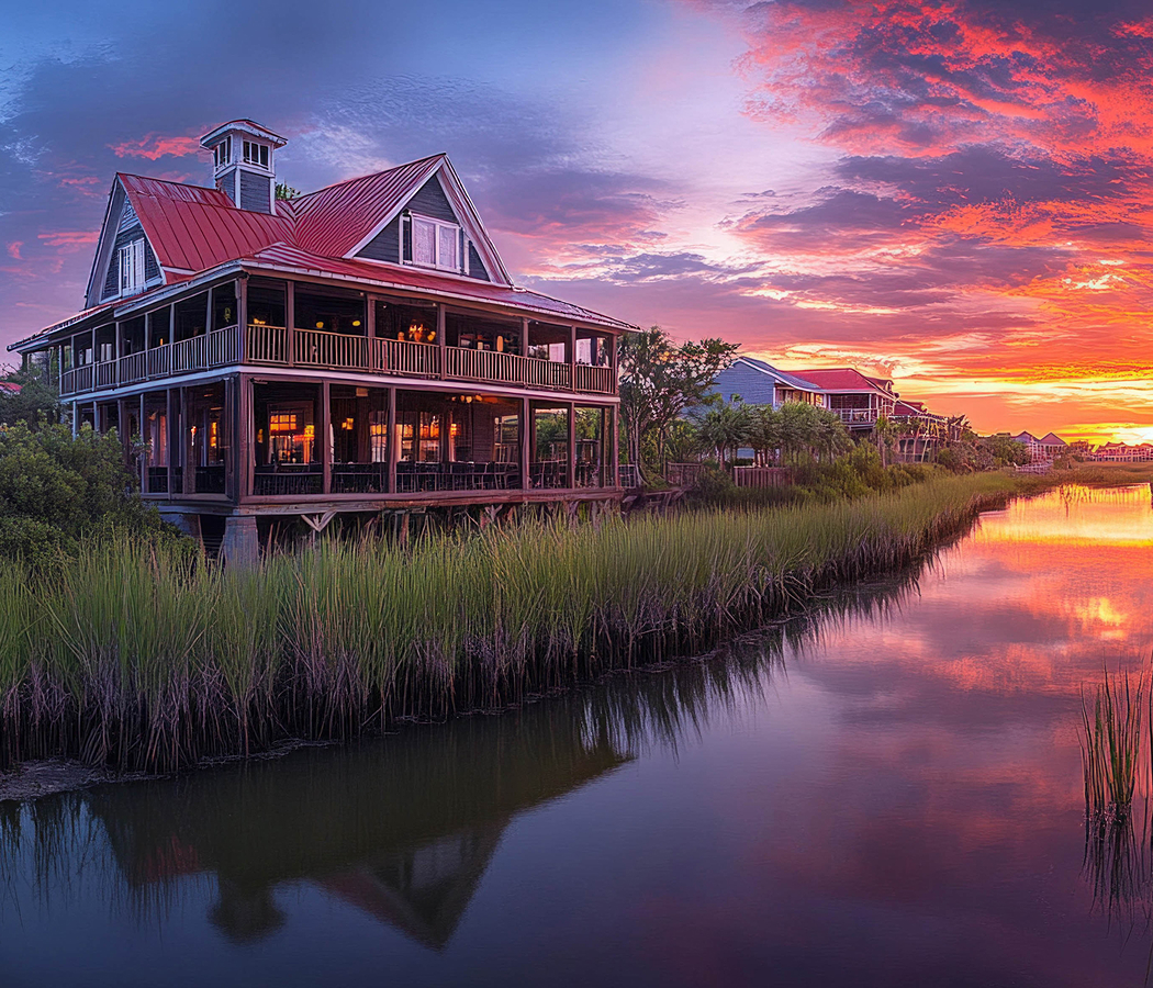
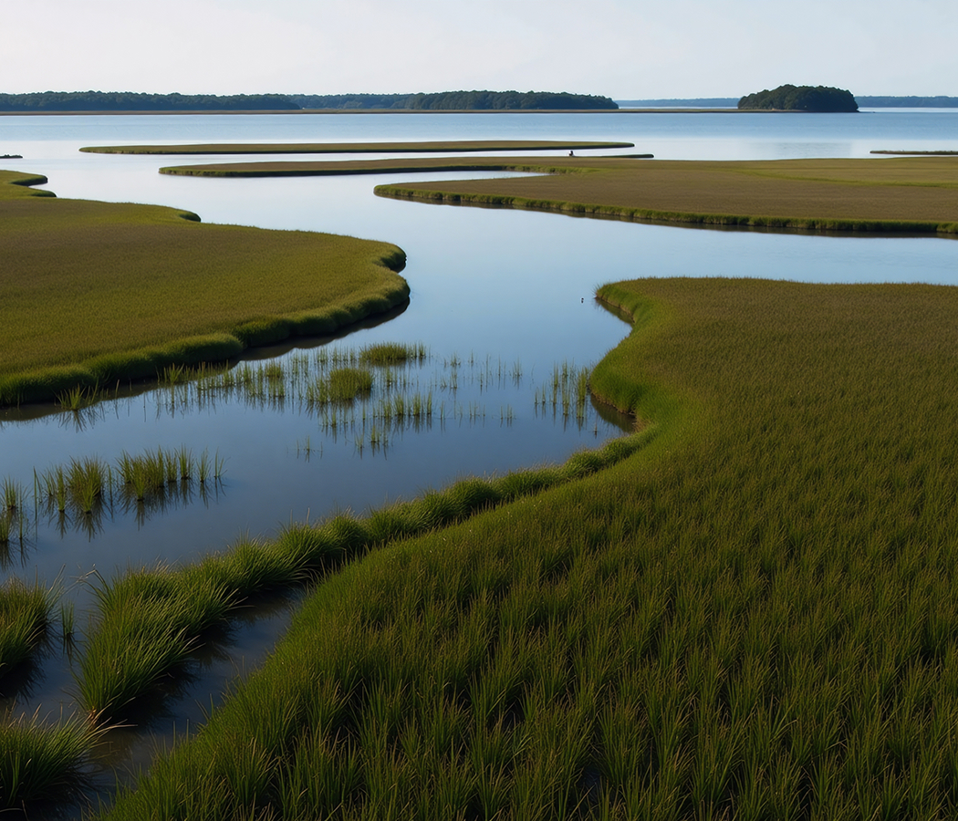
Positioned between Hilton Head and the mainland near the western end of the J. Wilton Graves Bridge, the refuge occupies a network of coastal islands bordered by Mackay Creek and Skull Creek, with tidal marshes extending toward Port Royal Sound and the Intracoastal Waterway. Broad expanses of smooth cordgrass surround the island's wooded interior, separating its freshwater ponds and former agricultural clearings from the surrounding estuary. Gravel and grass trails cross maritime forest, open fields and wetland margins, connecting distinct habitats across the protected property. Shallow impoundments attract wading birds, and elevated observation areas provide views across the marshes and tidal channels. The result is a coastal refuge whose protected wetlands, former plantation landscape and extensive bird habitats preserve an important portion of South Carolina's rapidly developed barrier-island environment.
What defines Pinckney Island National Wildlife Refuge, Bluffton.
Pinckney Island National Wildlife Refuge is best known for protecting 4,053 acres of coastal habitat across Pinckney Island and several smaller islands, preserving a landscape shaped by Indigenous settlement, plantation agriculture and twentieth-century conservation. Archaeological evidence places human occupation of the surrounding coastal region thousands of years before European colonization, when Indigenous communities relied upon estuarine fish, shellfish and other natural resources. European settlement introduced plantation agriculture to the island, incorporating its fertile soils and tidal waterways into the Lowcountry's expanding agricultural economy. During the eighteenth century, the property became associated with the Pinckney family, whose members participated in South Carolina's colonial and early national political institutions. Charles Cotesworth Pinckney and Charles Pinckney became prominent figures in the formation of the United States, connecting the family name with the constitutional debates of the late eighteenth century. Plantation operations relied upon enslaved African laborers, whose agricultural knowledge and work shaped the cultivation of the coastal landscape. Cotton became an important crop during the nineteenth century, with the island's fields forming part of the wider Sea Island cotton economy. The Civil War disrupted plantation agriculture throughout the region, bringing military occupation and substantial changes to landownership and labor arrangements. Agricultural activity continued in altered forms after emancipation, although the island's economic importance gradually diminished. In 1937, New York businessman Edward Starr and his brother James acquired Pinckney Island, developing the property as a private hunting preserve. Their management included the construction of freshwater impoundments designed to attract waterfowl and support recreational hunting. The Starr family subsequently transferred the property to the United States Fish and Wildlife Service, establishing the refuge in 1975. Federal management redirected the island's principal purpose toward wildlife conservation, habitat restoration and public environmental education. The protected area includes Pinckney, Corn, Big Harry and Little Harry islands, together with additional marshlands and tidal habitats. Its incorporation into the National Wildlife Refuge System preserved a substantial coastal landscape near one of South Carolina's fastest-growing resort communities.
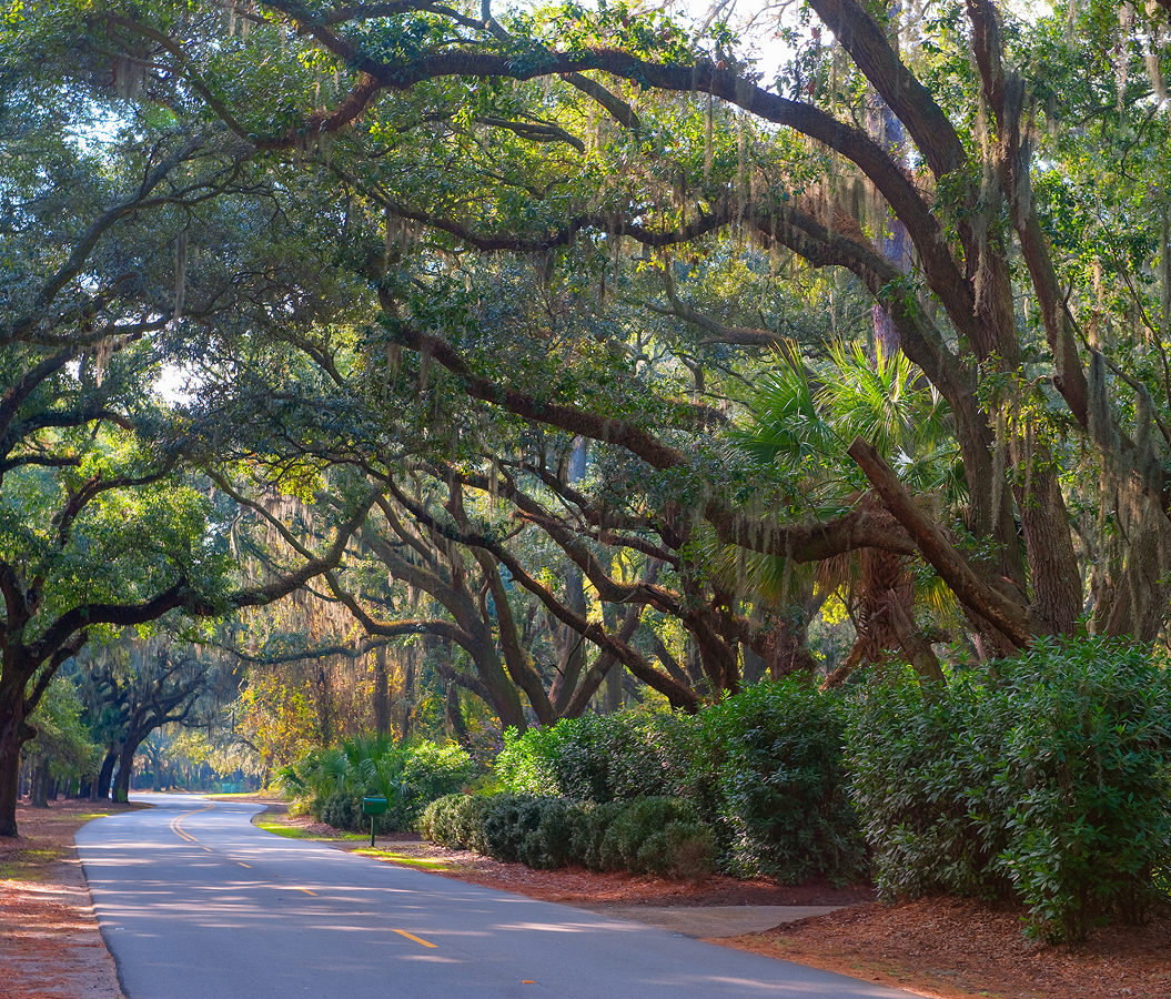
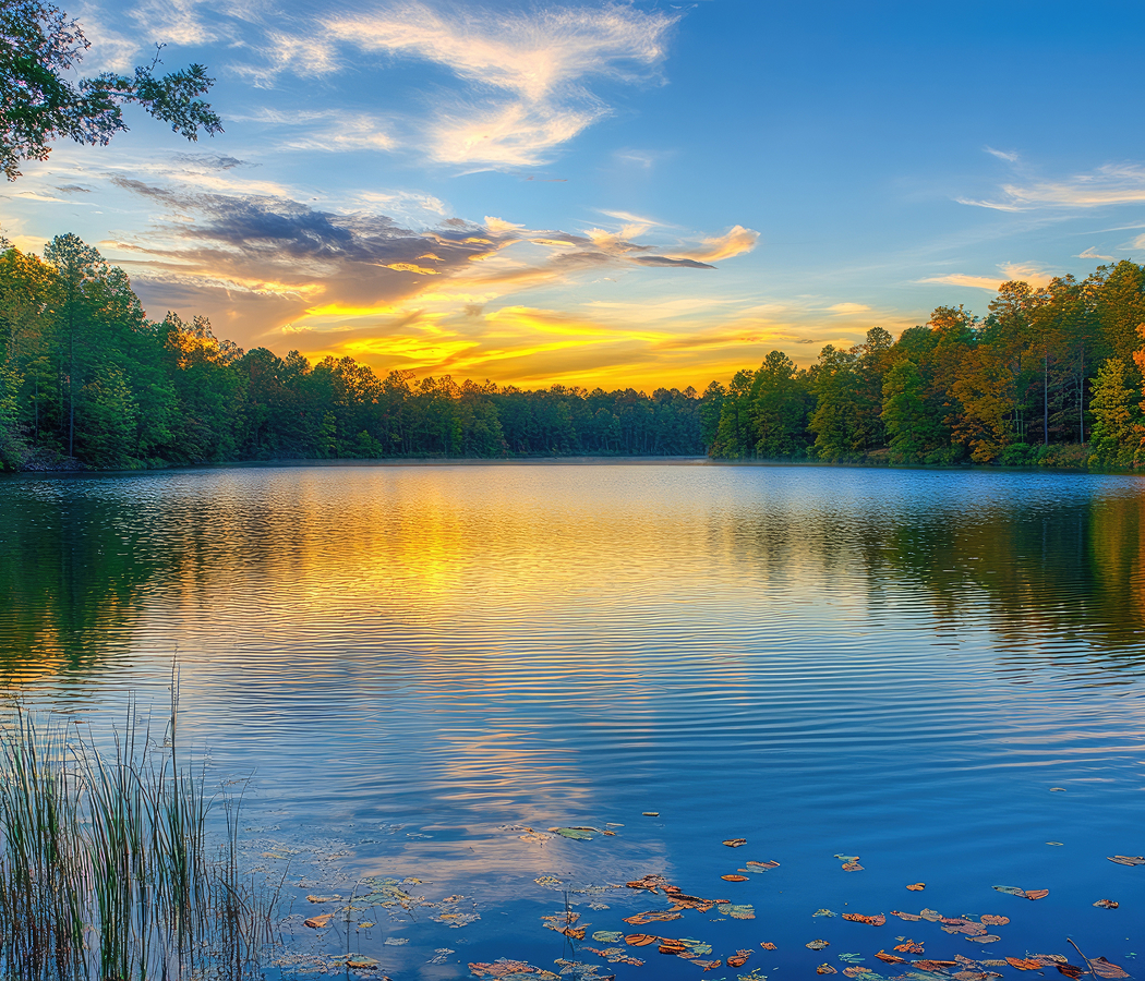
Ibis Pond provides one of the refuge's principal wildlife observation areas, supporting nesting colonies of colonial wading birds during the warmer months. White ibis, great egrets, snowy egrets and several heron species gather around the freshwater impoundment, using its wooded margins for nesting and surrounding wetlands for feeding. The concentration of birds changes throughout the breeding season, with nesting activity followed by the appearance of juvenile birds around the pond. The refuge's former agricultural fields have developed into open grasslands and shrub habitats, supporting songbirds, raptors and small mammals. Maritime forests contain live oak, loblolly pine, southern magnolia and other coastal tree species adapted to the island's soils and humid climate. Salt marshes occupy much of the protected landscape, with smooth cordgrass forming dense vegetation across areas regularly flooded by tidal water. These marshes support fiddler crabs, periwinkle snails, juvenile fish and numerous invertebrates that contribute to the surrounding estuarine food web. Oyster beds develop along suitable creek margins, filtering tidal water and creating habitat for additional marine organisms. Freshwater ponds and managed impoundments attract wintering ducks and other migratory waterfowl, extending the refuge's ecological importance across different seasons. American alligators inhabit freshwater areas, particularly where open water and sunny banks provide suitable conditions for feeding and basking. White-tailed deer move through the forest and field margins, with their activity concentrated around sheltered vegetation and freshwater sources. A network of 14 miles of trails provides access to the island's principal habitats, following former agricultural roads and paths developed for refuge management. The main trail begins near the public parking area and continues through wooded terrain toward the freshwater ponds and open fields. Longer routes extend toward White Point and additional coastal viewpoints, where broad tidal marshes and surrounding waterways define the landscape. Wildlife observation is particularly productive during morning hours, when feeding birds gather around shallow water and temperatures remain comparatively moderate. Seasonal changes influence the refuge's bird populations, vegetation and water levels, connecting the visitor experience with the ecological cycles of the South Carolina coast.
How Pinckney Island National Wildlife Refuge, Bluffton fits.
Pinckney Island National Wildlife Refuge works as the ecological centerpiece for a Hilton Head itinerary connecting the Lowcountry's natural history, the development of African American communities during emancipation and the preservation of coastal military architecture.
Begin at Coastal Discovery Museum, the cultural and environmental institution situated on the historic Honey Horn property in northern Hilton Head. Founded in 1985, the museum relocated to the 70-acre estate in 2007, preserving historic buildings, gardens and extensive natural habitats. Its exhibitions examine Indigenous settlement, plantation agriculture, Gullah heritage and the development of the surrounding barrier islands. Walking paths connect the principal buildings with maritime forest, cultivated gardens and salt-marsh boardwalks. Educational programs address native wildlife, coastal ecology and the historical relationship between local communities and the region's estuarine resources. Continue to Historic Mitchelville Freedom Park, the preserved site of an early self-governing settlement established by formerly enslaved African Americans during the Civil War. Union occupation of Hilton Head in 1861 created the conditions for the community's development. General Ormsby M. Mitchel supported its formal establishment in 1862, enabling residents to construct homes and organize schools, churches and civic institutions. The settlement became an important example of African American self-determination before national emancipation was completed. Archaeological interpretation and reconstructed historical features connect the wooded site with the community's domestic arrangements and political development. Conclude at Fort Howell, the surviving earthwork fortification constructed by Union forces in 1864 to protect the nearby freedpeople's settlement. Its defensive arrangement incorporated substantial earthen embankments designed to resist Confederate attacks approaching from the island's interior. African American soldiers and laborers participated in its construction during a period of expanding Black military service. The preserved earthworks retain the geometric arrangement of a Civil War defensive installation, providing a physical connection with the island's wartime transformation. Interpretive information examines the fort's military purpose and its relationship with the surrounding community. The progression moves from coastal environmental interpretation through the establishment of an African American settlement and culminates in the military defenses constructed to protect its development.
Where your story begins.
Foresyte Travel reveals places that feel extraordinary long before you arrive.
Enjoy editorial crafted for luxury travelers.
Foresyte may earn a commission when you book.