Why Powers Ferry Road matters.
Powers Ferry Road is an elevated corridor where Buckhead's corporate prominence, transportation legacy, natural landscapes, and metropolitan connectivity converge along one of Atlanta's defining north-south thoroughfares.
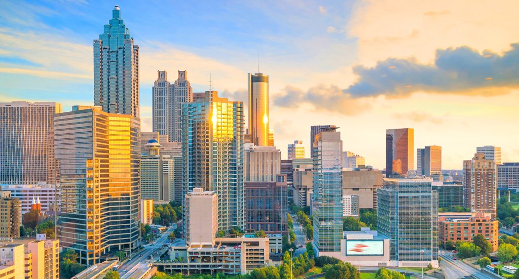
Running through Buckhead between North Buckhead and Chastain Park, the corridor connects executive office districts, established residential communities, creek corridors, and major transportation routes that collectively reflect metropolitan Atlanta's evolution from rural crossings into a nationally significant business center. Successive segments reveal how river transportation, highway construction, and corporate investment established an avenue that continues linking Buckhead with the northwestern suburbs. Rolling terrain, mature woodlands, office towers, and carefully landscaped campuses preserve a streetscape shaped by both natural geography and modern economic growth. The result is an experience defined by continuity, sophistication, and one of Atlanta's most influential corridors.
What defines Powers Ferry Road.
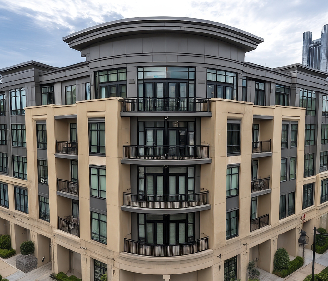
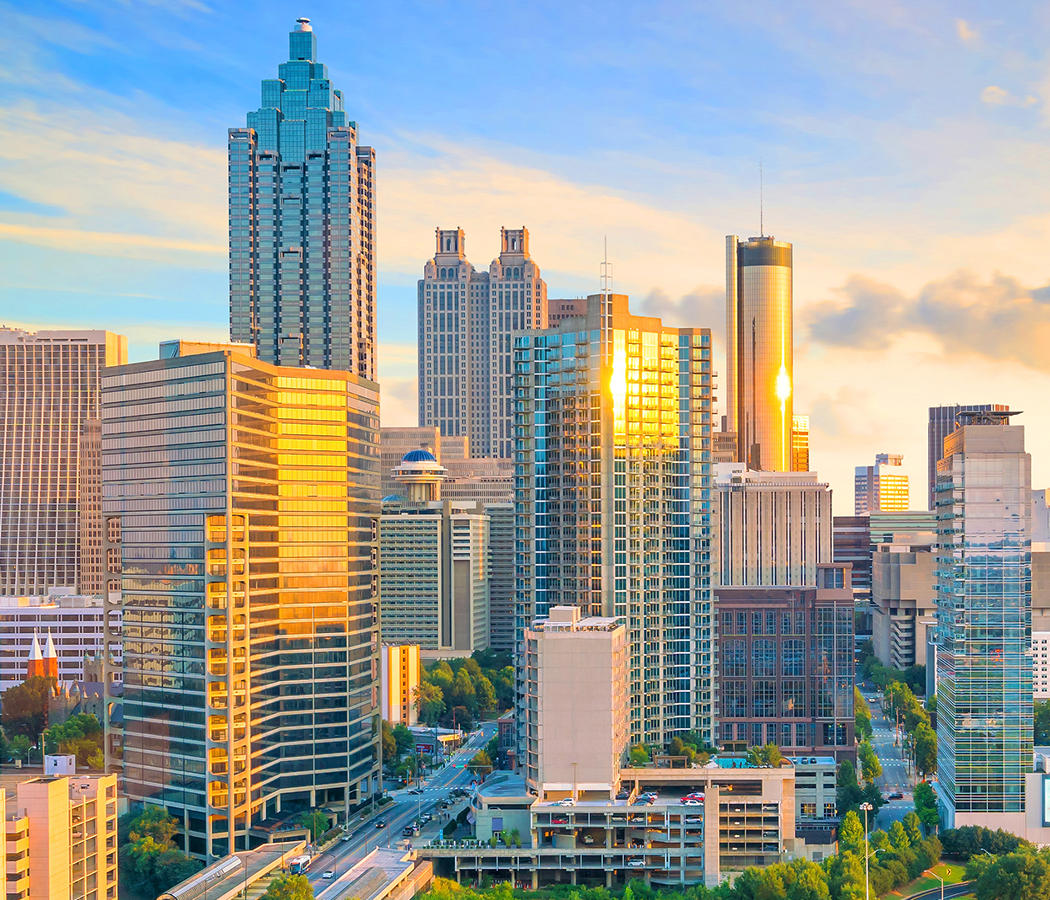
Powers Ferry Road is best known for following the historic route leading to Powers Ferry, a Chattahoochee River crossing established by James Power during the 1830s, decades before bridges permanently replaced the ferry and transformed regional transportation. The roadway became an essential connector between Cobb County and Fulton County, supporting agricultural commerce before gradually accommodating suburban expansion following World War II. Construction of Interstate 285 during the 1960s and continued development of the Interstate 75 corridor fundamentally reshaped the surrounding landscape, attracting regional headquarters, financial institutions, technology companies, and professional services that established the area as one of metropolitan Atlanta's foremost employment centers. Office campuses introduced curtain-wall construction, reinforced concrete framing, granite plazas, structured parking, and landscaped corporate environments that reflected the city's late twentieth-century economic expansion. Collectively, these layers of ferry transportation, suburban growth, interstate infrastructure, and corporate investment established Powers Ferry Road as one of Buckhead's defining metropolitan corridors.
Flowing parallel to portions of the corridor, Nancy Creek and its tributaries continue influencing roadway alignment, stormwater management, and the preservation of mature hardwood forests that distinguish this section of Buckhead from denser commercial districts elsewhere in Atlanta. Successive generations of office development incorporated extensive landscape architecture, tree preservation programs, pedestrian pathways, and campus planning that balanced large-scale commercial construction with the area's rolling topography. Surviving stone retaining walls, natural stream corridors, native woodland buffers, and carefully integrated office campuses demonstrate how engineering and environmental stewardship have evolved together throughout the corridor's modern history. Ultimately the enduring relationship between historic transportation routes, natural geography, and corporate development demonstrates how Powers Ferry Road continues expressing the evolution of metropolitan Atlanta's northern gateway.
How Powers Ferry Road fits.
Powers Ferry Road works as an exploration of Buckhead's natural landscapes, business prominence, and regional history.
Begin at Chastain Park, where expansive green spaces, recreational amenities, and historic parkland establish the natural character that distinguishes northern Buckhead before naturally leading toward the surrounding corridor. Continue to Atlanta History Center, where immersive exhibitions and preserved historic buildings deepen appreciation for Buckhead's transformation from rural crossroads into one of the South's leading urban districts while extending the historical narrative. Conclude at Paces Mill, where the Chattahoochee River, historic river crossing landscape, and scenic trails provide the historical payoff by recalling the transportation corridor that originally gave Powers Ferry Road its enduring name. Together, the sequence reveals how landscape, commerce, and transportation history have collectively shaped the character surrounding Powers Ferry Road.
Where your story begins.
Foresyte Travel reveals places that feel extraordinary long before you arrive.
Enjoy editorial crafted for luxury travelers.
Foresyte may earn a commission when you book.