Why Airport Mesa matters.
Airport Mesa is a commanding sandstone plateau where Sedona's red-rock geography meets the history of its mountain airfield, the panoramic landscapes of the Colorado Plateau and the spiritual associations that have made its elevated viewpoints central to the city's outdoor culture.
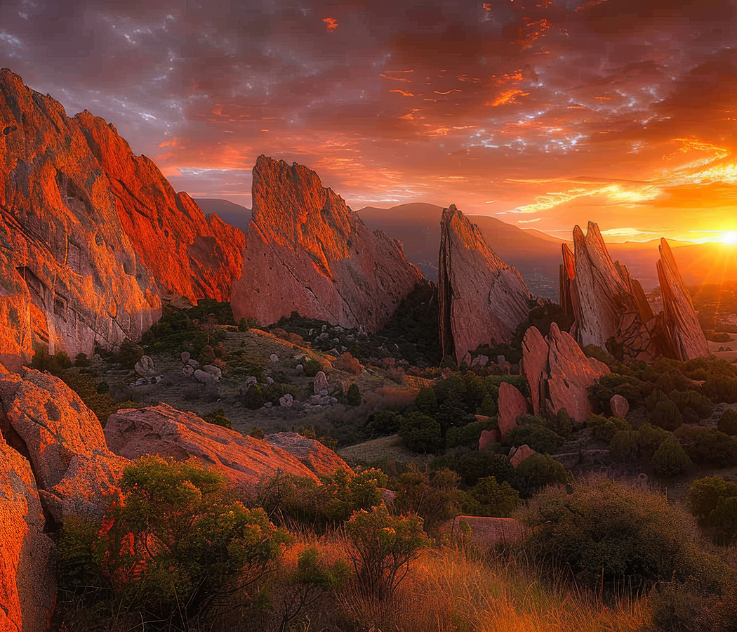
Rising southwest of Uptown Sedona between West Sedona and the Oak Creek corridor, the mesa occupies an isolated sandstone elevation encircled by Airport Road, with steep slopes overlooking the surrounding residential districts and the red-rock formations extending toward the Mogollon Rim. Its broad summit supports Sedona's municipal airport, surrounded by exposed sandstone benches and scattered high-desert vegetation. Rocky trails traverse the mesa's lower slopes, passing juniper woodland, shallow gullies and elevated overlooks. The northern and eastern edges provide expansive views across the city's principal sandstone formations, with distant forested ridges defining the horizon. The result is an accessible high-desert summit whose unusual combination of aviation infrastructure, geological scenery and established hiking routes provides one of Sedona's most comprehensive panoramic settings.
What defines Airport Mesa.
Airport Mesa is best known for its elevated viewpoints, the Sedona Airport occupying its summit and the Airport Mesa Vortex, a location associated with the spiritual tourism that expanded across Sedona during the late twentieth century. The mesa belongs to the sedimentary landscape of the southern Colorado Plateau, where successive geological formations record ancient desert and coastal environments. Its sandstone layers accumulated during the Permian Period, when wind and water transported sediment across broad plains and dune fields. Iron-bearing minerals contributed the red coloration that distinguishes much of the surrounding landscape. Subsequent burial and cementation consolidated the sediment into rock formations with varying resistance to erosion. Regional uplift raised these deposits, allowing streams and surface runoff to carve the valleys surrounding the mesa. Differential erosion gradually isolated the elevated plateau above the adjacent terrain, creating its steep flanks and comparatively level upper surface. The surrounding Oak Creek drainage influenced settlement patterns by providing reliable water for Indigenous communities and later agricultural development. Southern Sinagua settlements flourished across the greater Verde Valley during the late prehistoric period, establishing extensive agricultural and trading relationships. Yavapai and Apache communities maintained cultural connections with the surrounding mountains and valleys through subsequent centuries. Anglo-American settlement expanded during the late nineteenth century, introducing ranching, orchards and commercial agriculture. Sedona's development as a permanent community accelerated during the early twentieth century as transportation connections improved. The mesa's relatively level summit eventually attracted attention as a suitable location for an airfield serving the growing settlement. Sedona Airport developed during the mid-twentieth century, establishing an aviation connection within a region otherwise characterized by rugged sandstone terrain. Its elevated runway became a distinctive feature of the local transportation network, accommodating general aviation and supporting access to northern Arizona. Tourism expanded substantially as Sedona's scenery attracted photographers, hikers and travelers interested in the American Southwest. During the 1980s, the growing popularity of vortex tourism associated particular rock formations and elevated sites with concentrated spiritual energy. Airport Mesa became one of the principal locations identified with these beliefs, attracting visitors interested in meditation and contemplative recreation. The development of designated trails and overlooks subsequently strengthened public access to the mesa's surrounding landscape. Its contemporary significance combines aviation history, geological heritage and the recreational traditions that distinguish Sedona.
Sedona Airport occupies the mesa's broad upper surface at an elevation exceeding 4,800 feet, establishing an unusual airfield setting surrounded by steep sandstone slopes. The runway extends across the summit, where the elevated terrain creates distinctive operational conditions for aircraft approaching and departing the airport. Its position above the surrounding valleys provides extensive visibility across the region's sandstone formations and forested uplands. The Airport Mesa Loop Trail follows the plateau's outer slopes, crossing exposed rock surfaces and sections of pinyon-juniper woodland. Its route extends for three miles, circling much of the mesa and providing changing perspectives across the surrounding landscape. The trail passes areas of uneven sandstone, narrow passages and exposed slopes that require careful footing. Weathered rock surfaces reveal horizontal bedding and fractures associated with the mesa's sedimentary origins. The Airport Mesa Vortex site occupies a rocky knoll reached by a short but steep ascent near the lower portion of Airport Road. Its elevated position provides panoramic views toward Cathedral Rock, Bell Rock and the surrounding red-rock formations. The site's spiritual associations belong to Sedona's modern metaphysical tourism tradition, which interprets particular geographical locations as centers of concentrated natural energy. These associations have encouraged meditation, quiet observation and organized spiritual activities at the overlook. The surrounding terrain also provides a setting for conventional landscape photography, particularly during the changing light of sunrise and sunset. The Sedona Airport Scenic Lookout occupies a separate elevated position near the summit, providing broad views across the western valley and distant sandstone ridges. Its paved viewing area creates an accessible vantage point above the surrounding city. The mesa's exposed location produces substantial variations in light, shadow and wind across its rocky surfaces. Juniper, pinyon pine and drought-tolerant shrubs occupy shallow soils along the trail, illustrating the adaptation of high-desert vegetation to limited moisture. The combination of aviation infrastructure, recreational trails and extensive viewpoints establishes Airport Mesa as a distinctive component of Sedona's developed landscape.
How Airport Mesa fits.
Airport Mesa works as the panoramic anchor for a Sedona outing connecting the city's early settlement history, the sculpted sandstone formations of its southern approaches and the protected riparian environments of the Verde Valley.
Begin at Sedona Heritage Museum, housed within the historic Jordan family homestead in the Uptown district. The museum preserves the agricultural and domestic history of Sedona's early Anglo-American settlement, particularly the development of orchards and farming along Oak Creek. Walter and Ruth Jordan established their homestead during the twentieth century, cultivating fruit trees and contributing to the area's agricultural economy. The surviving buildings contain household objects, farming equipment and historical exhibits associated with ranching, agriculture and community development. Collections also examine Sedona's history as a location for Western film production, connecting the town's dramatic scenery with the growth of the American motion-picture industry. Continue to Bell Rock, the prominent sandstone formation situated south of Sedona near the Village of Oak Creek. Its broad, rounded profile rises above the surrounding desert floor, displaying layered sedimentary deposits associated with the region's Permian geological history. The formation's distinctive shape developed through differential erosion, which gradually removed softer material and exposed more resistant sandstone layers. Walking trails circle its lower slopes, passing juniper, pinyon pine and other vegetation adapted to the high-desert environment. The surrounding landscape provides extensive views toward Courthouse Butte and the forested ridges beyond, establishing a clear perspective on Sedona's geological setting. Conclude at Red Rock State Park, the protected natural area situated southwest of Sedona along Oak Creek. Established in 1991, the park preserves riparian woodland, sandstone hills and high-desert habitats across a substantial conservation landscape. Its trail system crosses the creek and ascends toward elevated viewpoints overlooking the surrounding red-rock formations. Interpretive programs examine regional ecology, wildlife and the environmental importance of perennial watercourses in the desert Southwest. The park's protected landscape supports native birds, mammals and plant communities associated with the Verde Valley's varied habitats. The progression moves from Sedona Heritage Museum's settlement history through Bell Rock's geological formations and culminates at Red Rock State Park's protected ecosystems, connecting Airport Mesa with the cultural and environmental development of Sedona.
Where your story begins.
Foresyte Travel reveals places that feel extraordinary long before you arrive.
Enjoy editorial crafted for luxury travelers.
Foresyte may earn a commission when you book.