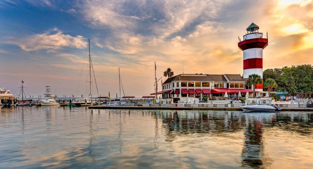
Why Ribaut Road matters.
Ribaut Road is a historic corridor where Beaufort's waterfront heritage, military legacy, centuries of settlement, and Lowcountry character continue shaping one of the city's defining thoroughfares.
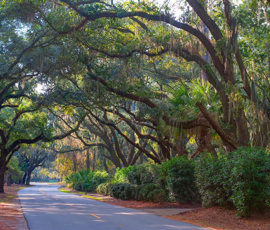
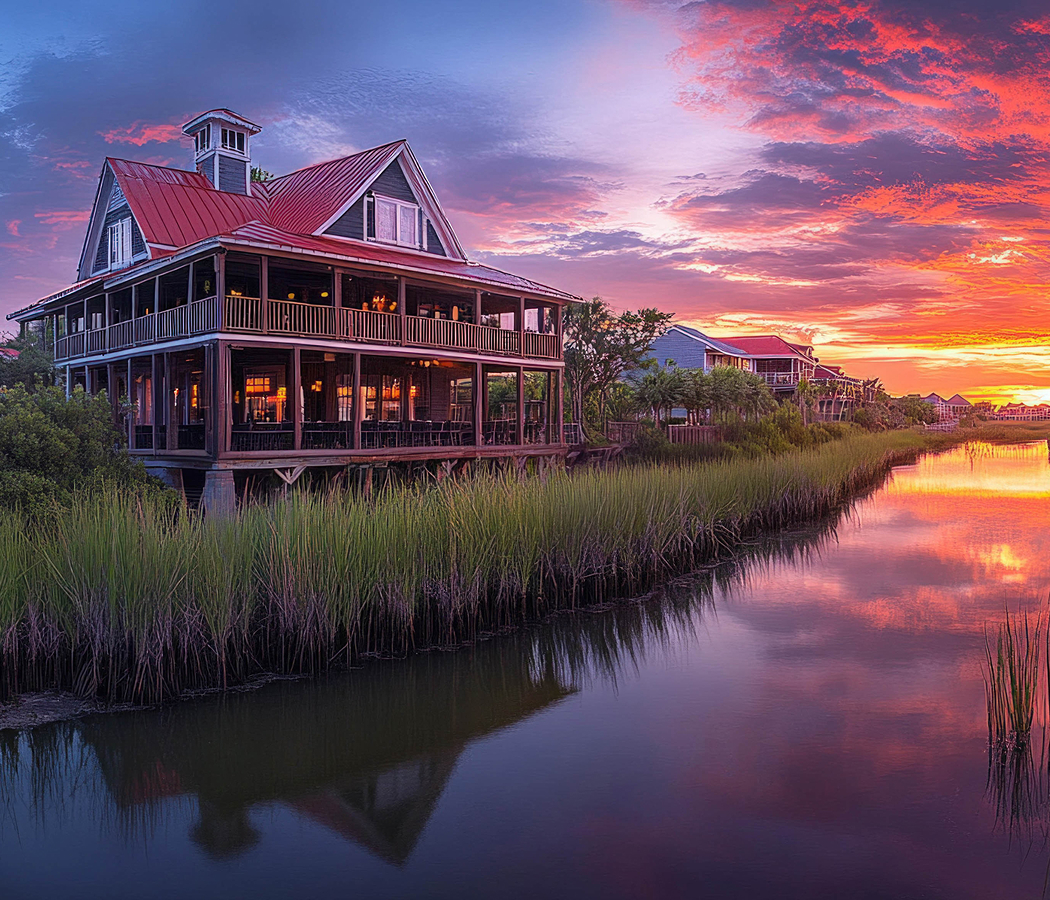
Running through Mossy Oaks between Downtown Beaufort and Port Royal, this waterfront corridor follows the Beaufort River and Battery Creek past historic neighborhoods, healthcare campuses, military facilities, tidal marshes, and moss-draped live oaks that have framed the city's development for generations. River views, shaded streets, and civic institutions remain closely connected throughout the route, revealing a landscape where Beaufort's history continues unfolding alongside its surrounding estuary. The result is a corridor where transportation, history, and the coastal environment remain inseparable.
What defines Ribaut Road.
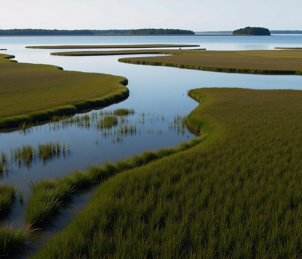
Ribaut Road is best known as one of Beaufort's oldest transportation corridors, named for French naval officer Jean Ribault, whose 1562 expedition established Charlesfort on nearby Parris Island, the first French settlement in what is now South Carolina. The roadway links Downtown Beaufort with Port Royal, Marine Corps Recruit Depot Parris Island, Naval Hospital Beaufort, Beaufort Memorial Hospital, and Marine Corps Air Station Beaufort while following portions of the historic transportation routes that connected Beaufort's colonial settlements with surrounding Sea Islands long before the modern highway network emerged. Development accelerated during the twentieth century as military expansion, healthcare investment, and residential growth transformed Mossy Oaks into one of Beaufort's principal civic districts, while Ribaut Road became home to Beaufort Memorial Hospital, founded in 1944, and numerous public institutions, schools, churches, and government facilities. The corridor also borders stretches of the Beaufort River and Battery Creek, crossing landscapes shaped by tidal marshes, oyster beds, estuarine ecosystems, and maritime forests that remain central to the environmental character of the South Carolina Lowcountry.
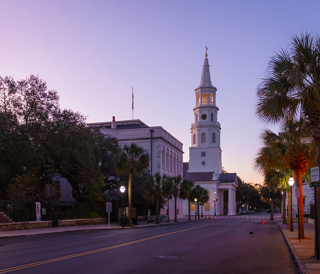
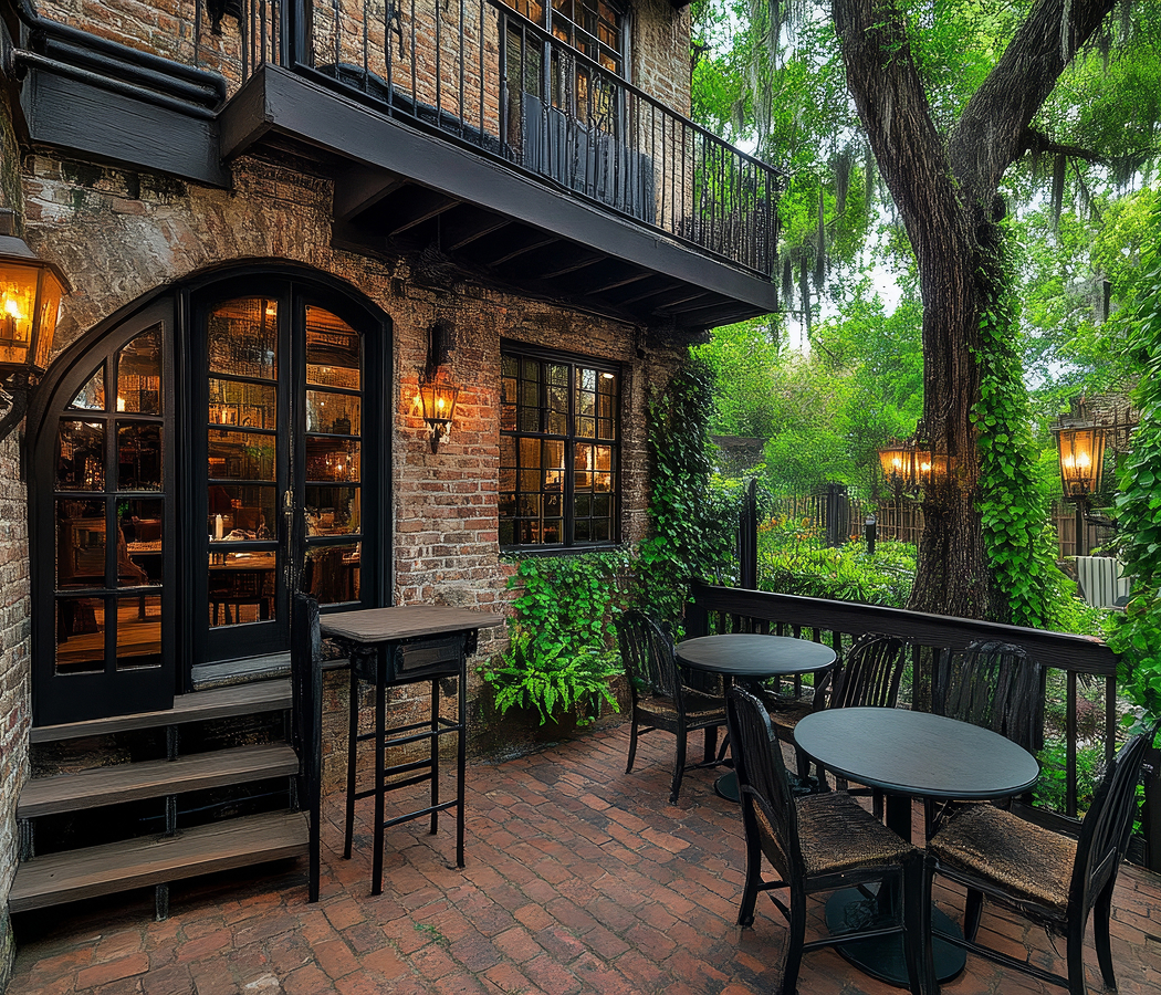
Historic churches, mature live oaks, waterfront parks, and long-established residential neighborhoods continue reflecting the evolution of Beaufort from a colonial port into a modern coastal community. Medical campuses, military installations, public schools, and neighborhood businesses reinforce the roadway's role as an essential civic corridor serving residents throughout Beaufort County. Marsh vistas, tidal waterways, and native coastal vegetation remain visible along much of the route, preserving a strong connection between the city's built environment and the landscapes that have influenced Beaufort for more than four centuries.
How Ribaut Road fits.
Ribaut Road is best experienced through Beaufort's history, waterfront scenery, and civic institutions.
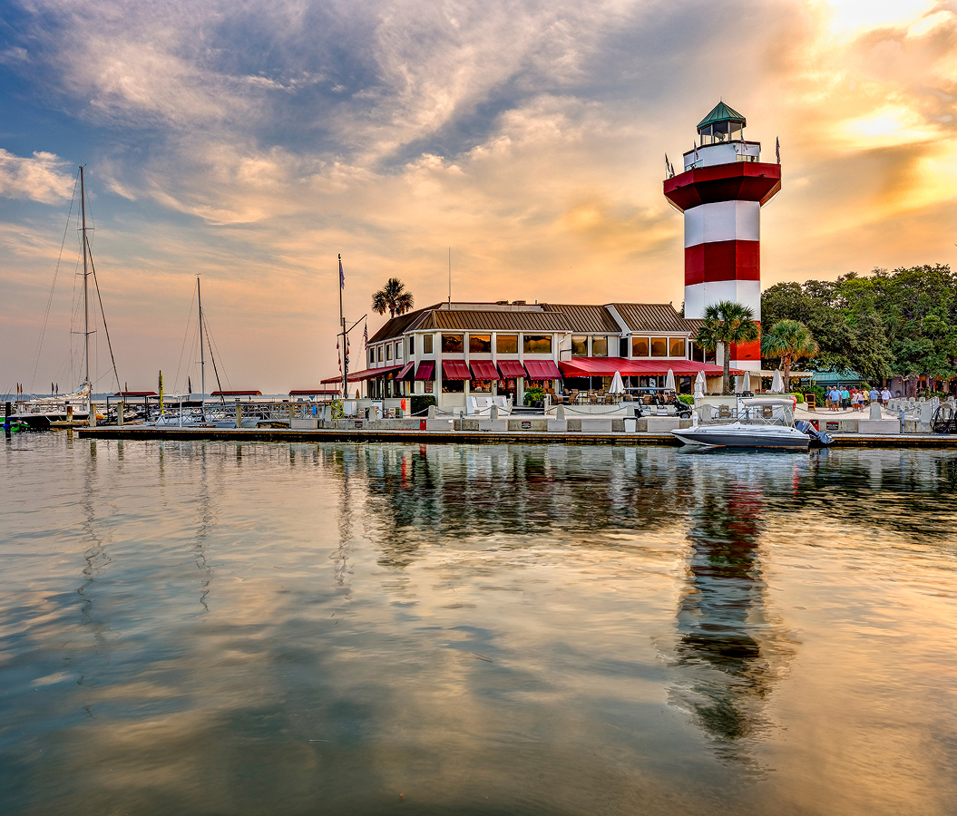
Begin at Henry C. Chambers Waterfront Park, where panoramic views across the Beaufort River introduce the city's maritime heritage before following Ribaut Road toward Mossy Oaks. Continue to Beaufort Memorial Hospital, whose campus reflects decades of regional healthcare service and Beaufort's twentieth-century growth. Conclude at Parris Island Museum, where exhibits tracing Indigenous history, colonial settlement, and Marine Corps recruit training provide a fitting conclusion to the journey. The progression moves naturally from the waterfront to a major civic institution before concluding with one of the region's most significant historical collections.
Where your story begins.
Foresyte Travel reveals places that feel extraordinary long before you arrive.
Enjoy editorial crafted for luxury travelers.
Foresyte may earn a commission when you book.