Why Vail Pass matters.
Vail Pass is a high-altitude Rocky Mountain crossing where the Gore Range's alpine terrain meets Colorado's transcontinental transportation history, the engineering of Interstate 70 and an extensive network of mountain recreation routes connecting the Eagle and Summit County valleys.
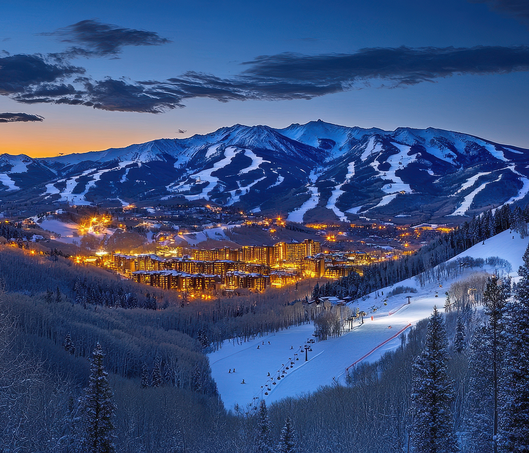
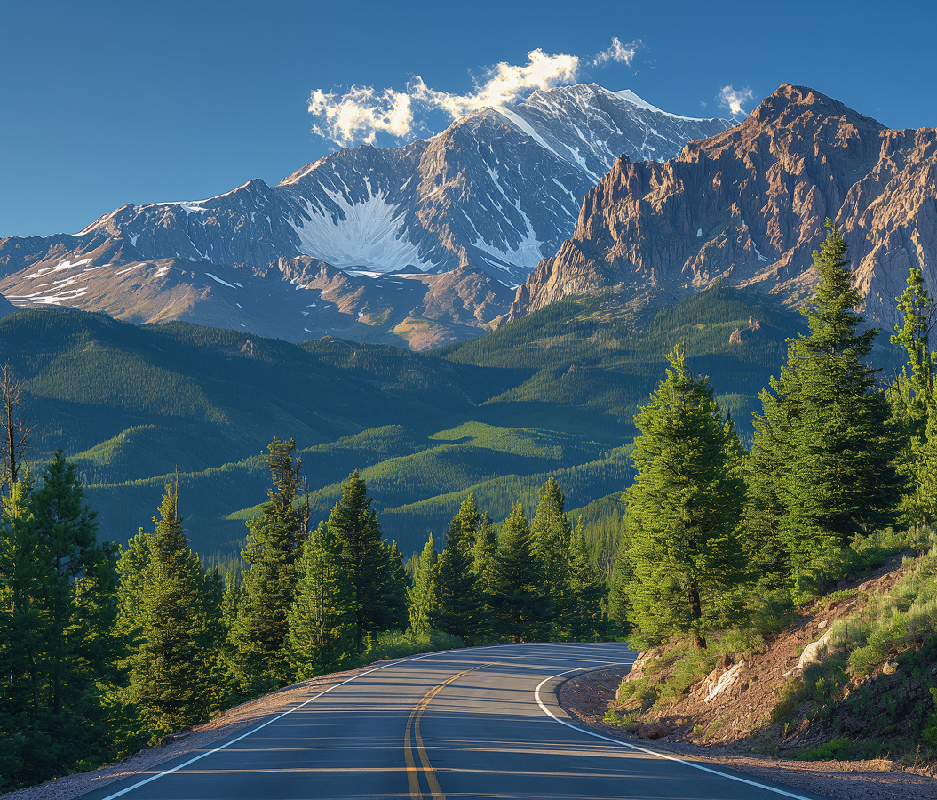
Positioned along Interstate 70 between Vail and Copper Mountain, the mountain pass reaches an elevation of 10,666 feet on the Continental Divide's western approach, occupying a broad saddle between the Gore Range to the north and the Sawatch Mountains to the south. Forested slopes descend toward Gore Creek on the western side, with the highway following a winding alignment through steep mountain terrain. Eastward, the landscape opens toward Tenmile Creek and the Upper Blue River watershed, connecting the pass with Summit County's transportation network. Alpine meadows, spruce forests and exposed ridgelines surround the roadway, with seasonal snowpack shaping access and recreational activity. The result is a major mountain crossing whose highway engineering, watershed geography and extensive trail systems connect Colorado's transportation infrastructure with its high-elevation natural environment.
What defines Vail Pass.
Vail Pass is best known for its 10,666-foot elevation and its role as the highest point on Interstate 70 in Colorado, where a major transcontinental highway crosses the Rocky Mountains between the Eagle River and Blue River watersheds. The surrounding mountains formed part of the ancestral territory of the Ute people, whose seasonal travel routes connected valleys, hunting grounds and mountain passes across Central Colorado. Nineteenth-century mining expansion brought prospectors and transportation development into the nearby Tenmile Range, where settlements developed around deposits of silver, lead and other minerals. Early wagon routes crossed the surrounding mountains, although the terrain's steep grades and heavy winter snowfall limited reliable travel. The pass acquired its name from Charles D. Vail, a Colorado highway engineer whose work contributed to the development of the state's mountain transportation network. Construction of U.S. Highway 6 during the 1930s established a more substantial automobile route through the corridor, connecting the communities of the Eagle and Summit County valleys. The highway's winding alignment followed the mountain terrain, requiring careful grading and drainage across steep slopes. The development of Vail Ski Resort beginning in 1962 increased traffic through the surrounding corridor, connecting the new mountain community with Denver and the Front Range. Federal plans for Interstate 70 subsequently identified the pass as an essential crossing for the extension of the highway westward through the Central Rockies. Engineers faced substantial challenges involving unstable slopes, avalanche exposure, heavy snowfall and the need to maintain acceptable grades for commercial vehicles. Construction of the interstate crossing proceeded during the 1970s, requiring extensive earthmoving, retaining structures and drainage systems across the high mountain terrain. The final segment of Interstate 70 over Vail Pass opened in 1978, completing an important connection between the Eisenhower Tunnel and the western Colorado highway network. The project incorporated divided carriageways and engineered curves suited to modern interstate traffic, improving the movement of vehicles through a corridor previously served by narrower mountain roads. Subsequent transportation improvements introduced additional safety measures, avalanche mitigation systems and highway maintenance facilities. The pass became a major component of Colorado's winter transportation infrastructure, carrying recreational travelers, commercial freight and interstate traffic across the Continental Divide's western mountain approaches.
Black Lakes occupy a high-elevation basin near the summit, where a pair of reservoirs collect water from the surrounding slopes and support recreational fishing. Their shoreline habitats contain alpine grasses, willows and coniferous vegetation adapted to the region's short growing season. The Vail Pass Recreation Path follows a paved route across the summit, connecting the pass with Copper Mountain to the east and Vail to the west. Its western descent follows the Gore Creek drainage, passing through forested terrain and mountain meadows before reaching the resort community. The eastern route descends toward Copper Mountain, where the path connects with Summit County's broader recreational trail network. Summer cycling is particularly associated with the descent from the summit, which provides an extended downhill route through changing mountain scenery. The surrounding landscape contains spruce-fir forests, subalpine meadows and exposed ridgelines, with vegetation patterns determined by elevation, snowpack and slope orientation. Wildflowers appear during the warmer months, including alpine species adapted to thin soils and brief growing periods. The Vail Pass Winter Recreation Area encompasses 55,000 acres of surrounding public land, supporting snowmobiling, backcountry skiing, snowshoeing and other winter activities. The United States Forest Service manages the area through a winter recreation program designed to accommodate different uses across designated terrain. Motorized and nonmotorized zones separate snowmobile routes from areas intended for quieter winter recreation. Shrine Pass Road provides access to additional mountain terrain, following a historic route toward Red Cliff and the Upper Eagle River valley. The road crosses forested slopes and open meadows, connecting the pass with a broader network of backcountry travel routes. The surrounding mountains receive substantial winter snowfall, creating conditions suited to powder skiing and extended snowmobile excursions. Avalanche hazards affect steep slopes and backcountry routes, requiring careful attention to terrain and changing snow conditions. Winter highway maintenance includes snow removal, traction enforcement and temporary closures during severe storms. The combination of recreational access and major highway traffic makes Vail Pass an important location for the management of transportation, winter recreation and high-elevation public lands.
How Vail Pass fits.
Vail Pass works as the mountain-crossing centerpiece for a Central Colorado itinerary connecting the development of military mountain training, the history of Colorado skiing and the preservation of alpine botanical environments.
Begin at Camp Hale National Monument, the former United States Army training installation situated in the Upper Eagle River valley near Leadville. Established in 1942, the camp served as the principal training center for the 10th Mountain Division, whose soldiers prepared for combat in difficult mountain environments during World War II. The installation contained barracks, training grounds and specialized facilities supporting skiing, climbing and cold-weather military operations. Soldiers subsequently served in Italy, where their mountain training contributed to operations in the northern Apennines. Surviving foundations and interpretive features preserve the history of the military installation and its influence on American skiing. Continue to Colorado Snowsports Museum, situated within Vail Village near the principal parking structure. The institution preserves historical skis, snowboards, uniforms, photographs and equipment associated with the development of winter sports throughout Colorado. Its exhibitions examine the military origins of modern American skiing, the evolution of mountain equipment and the development of Colorado's major ski resorts. The Colorado Snowsports Hall of Fame recognizes athletes, instructors, equipment innovators and industry figures whose contributions shaped the state's winter sports institutions. Historical displays connect the growth of recreational skiing with broader changes in mountain transportation, tourism and resort development. Conclude at Betty Ford Alpine Gardens, situated within Ford Park east of Vail Village. Founded in 1985 and named for former First Lady Betty Ford, the gardens cultivate alpine plants originating in mountainous environments across the world. Their specialized collections demonstrate adaptations to short growing seasons, intense sunlight and challenging mountain soils. Rock gardens, waterfalls and carefully arranged planting beds provide access to species associated with different elevations and geographical regions. Educational programs examine alpine ecology, botanical conservation and the environmental pressures affecting fragile high-elevation habitats. The progression moves from military mountain training through the development of Colorado skiing and culminates in the conservation of the alpine environments surrounding the state's principal mountain transportation corridors.
Where your story begins.
Foresyte Travel reveals places that feel extraordinary long before you arrive.
Enjoy editorial crafted for luxury travelers.
Foresyte may earn a commission when you book.