Why Bull Point Beach matters.
Bull Point Beach is a secluded Lowcountry shoreline where St. Helena Island's Gullah Geechee cultural landscape meets tidal marsh, shell-strewn sand and the protected waters surrounding the Beaufort Sea Islands.
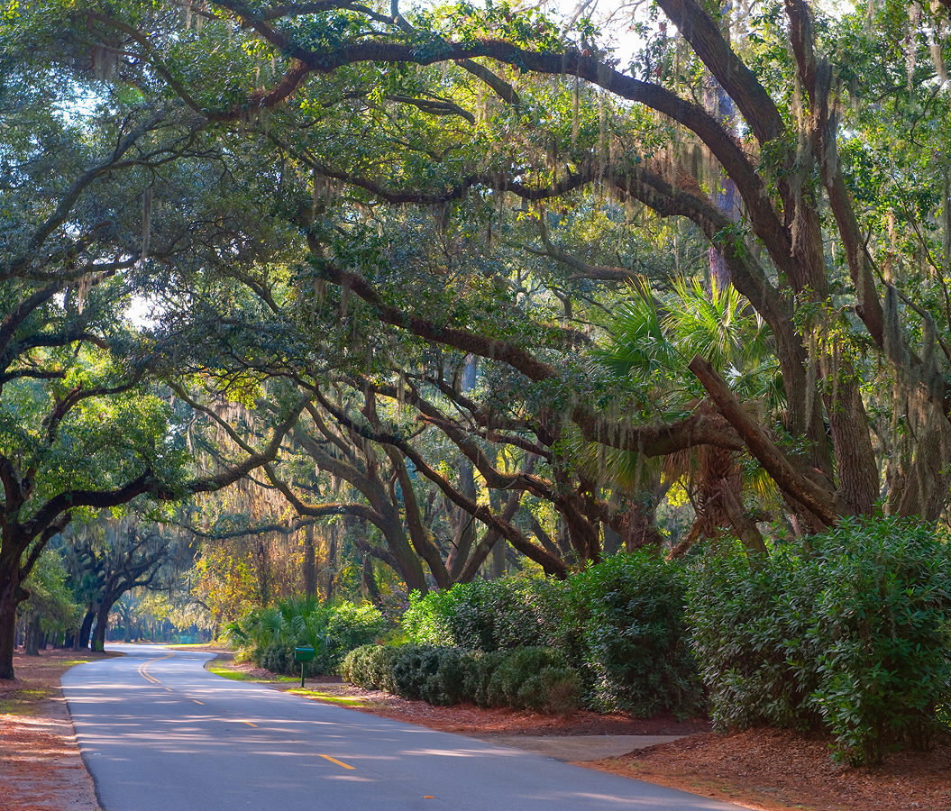
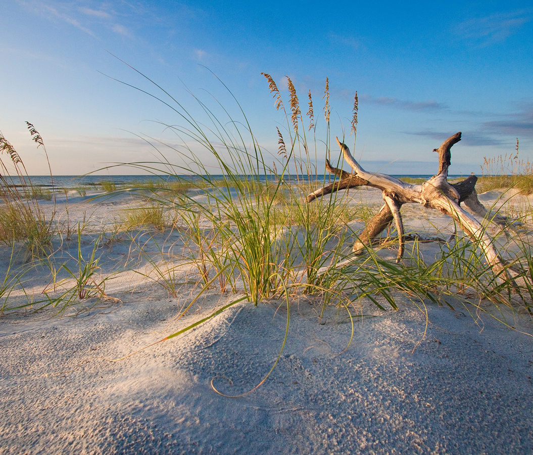
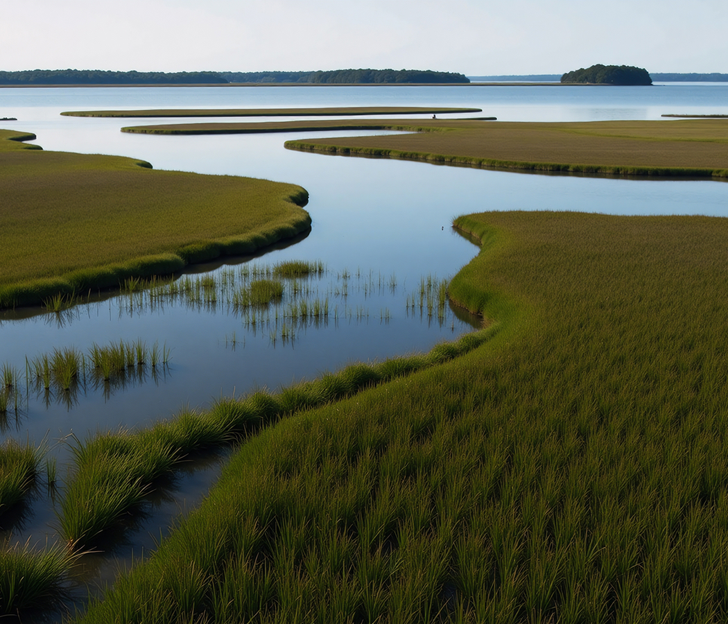
Set along the eastern reaches of St. Helena Island beyond the island's rural interior and just west of the barrier-island chain facing the Atlantic, the beach occupies a remote coastal edge between the tidal creeks draining St. Helena's marshlands, Pritchards Island and Fripp Island to the southeast and the broad estuarine waters extending north toward St. Helena Sound. Pale sand meets a shallow tidal margin where changing water levels continually redraw the exposed shoreline. Shell deposits accumulate along the strand, creating a textured transition between open water and the vegetated ground farther inland. Expansive sightlines place marsh, tidal channels and neighboring Sea Islands within the same coastal panorama. The result is an undeveloped beach whose isolation preserves the open water, tidal movement and maritime geography that distinguish the outer edges of the South Carolina Lowcountry.
What defines Bull Point Beach.
Bull Point Beach is best known for occupying the maritime perimeter of St. Helena Island within a Sea Islands landscape whose physical isolation shaped one of the most consequential African American cultural regions in the United States. St. Helena covers 64 square miles of low-lying terrain bordered by St. Helena Sound to the north and Port Royal Sound to the south, with Hunting, Pritchards and Fripp islands separating much of its interior shoreline from the open Atlantic. Bull Point appears as a named coastal feature on United States Geological Survey mapping from the mid-twentieth century, placing the point within a geography of creeks, inlets, marsh islands and shifting coastal margins. Cusabo peoples occupied the region before European colonization, and Spanish arrivals during the sixteenth century incorporated the Sea Islands into their contested colonial territory of Santa Elena. English control followed by the beginning of the eighteenth century, after which plantation agriculture expanded across St. Helena through the labor of enslaved Africans and Native Americans. Rice and other crops became part of an agricultural economy whose relative geographic isolation helped African traditions, language and community structures persist across generations. Union forces occupied the Sea Islands early in the Civil War after the 1861 Battle of Port Royal drove many white plantation owners from the region. Formerly enslaved residents subsequently participated in the Port Royal Experiment, purchasing land, operating farms and building institutions before nationwide emancipation and the formal Reconstruction era. Bull Point Beach survives within that same coastal geography, where water and physical separation profoundly influenced the historical development of St. Helena Island.
The shoreline belongs to the larger Port Royal Sound estuarine region, where freshwater drainage, Atlantic tides and extensive salt marsh create one of the defining coastal systems of southern South Carolina. Tidal creeks dissect the surrounding marsh into irregular islands and peninsulas, producing a coastline far more complex than a continuous oceanfront beach. Pritchards Island lies offshore within this outer chain, with Pritchards Inlet forming another opening through the coastal system nearby. Fripp Island extends farther southeast, and Hunting Island continues the barrier sequence toward Harbor River and St. Helena Sound. Bull Point's position behind this island chain gives its water horizon a layered geography of channels, marsh edges and distant landforms. The wider Port Royal Sound system supports nursery habitat for fish and shellfish, with spartina marsh forming a major biological foundation along its tidal margins. Twice-daily tides expose and submerge broad portions of the intertidal zone, shifting the visible width and texture of the beach through each tidal cycle. Shells deposited along the strand preserve another physical consequence of the estuary's abundant marine life and moving water. Bull Point Beach concentrates those Lowcountry processes within an unusually quiet shoreline, allowing tidal geography itself to define the setting.
How Bull Point Beach fits.
Bull Point Beach works as the coastal anchor for a St. Helena Island route through three nearby places that connect Gullah Geechee worship, emancipation-era education and the military history of Port Royal Sound.
Begin at Brick Baptist Church, constructed in 1855 by enslaved laborers for a white congregation and distinguished by masonry that still carries fingerprints left in bricks during construction. Union occupation transformed the building's role after 1861, and formerly enslaved island residents assumed control of the church as the plantation system surrounding them collapsed. Laura Towne and Ellen Murray used the building for early classes associated with the school they established on St. Helena in 1862, tying the church directly to the educational experiments that accompanied emancipation in the Sea Islands. Continue to Penn Center, whose institutional history grew from those classes into Penn School, among the earliest Southern schools dedicated to the formal education of formerly enslaved African Americans. The school purchased land from freedman Hastings Gantt in 1864, completed a purpose-built three-room schoolhouse in 1865 and later adopted agricultural and industrial instruction under sponsorship from Hampton Institute. Robert Smalls attended the 1912 dedication of the Cope Shop, and the campus became a sanctuary for Martin Luther King Jr. and other civil rights organizers during the 1960s. Its 50-acre campus contains 25 historic buildings and structures, with the district receiving National Historic Landmark designation in 1974 and portions later incorporated into Reconstruction Era National Historical Park. Conclude at Fort Fremont, constructed from 1898 through 1900 to defend the Port Royal Naval Station during the coastal fortification campaign surrounding the Spanish-American War. The United States Army operated the installation until 1911, formally closed it the following year and transferred it to private ownership in 1921. Beaufort County acquired the fort and surrounding land through its Rural and Critical Lands Preservation Program, preserving concrete batteries within an 18-acre hardwood landscape facing Port Royal Sound. The progression moves from a church built by enslaved islanders through an educational institution created amid emancipation and culminates at a coastal fort guarding the maritime approaches to Port Royal, joining three places whose histories were shaped by St. Helena Island's relationship with freedom, land and surrounding water.
Where your story begins.
Foresyte Travel reveals places that feel extraordinary long before you arrive.
Experience premium editorial crafted for luxury travelers.
Foresyte Travel may earn a commission when you book through the link on this page.