Why Fort Fremont Preserve matters.
Fort Fremont Preserve is a formidable coastal preserve where St. Helena Island's maritime character meets Endicott-era artillery, Spanish-American War strategy and the surviving concrete defenses built to protect Port Royal Sound.
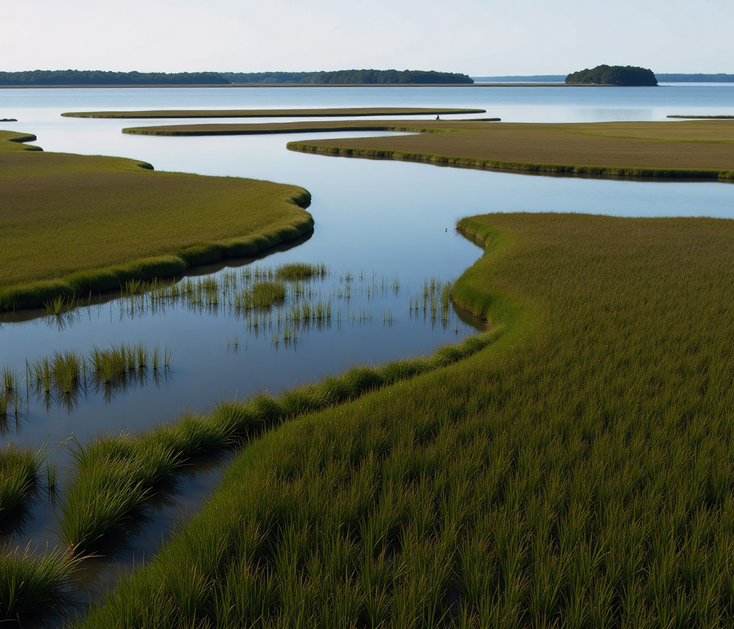
Set along the southwestern shore of St. Helena Island near Land's End Road and just inland from Port Royal Sound, the preserve occupies a wooded coastal tract facing the broad approaches between the Sea Islands and the former naval facilities across the water. Battery emplacements rise from terrain shaped by maritime forest, earthworks and the shoreline. Concrete parapets, gun pits and internal chambers preserve the fort's defensive geometry within the surrounding vegetation. Beach access extends the site directly toward the waterway that determined the installation's military purpose. The result is a coastal preserve where military engineering remains physically legible within the terrain it was designed to defend.
What defines Fort Fremont Preserve.
Fort Fremont Preserve is best known for protecting the surviving remains of a coastal fort authorized during the Spanish-American War and built in 1898 and 1899 to defend the U.S. Naval Station at Port Royal. President Grover Cleveland had created the Endicott Board in 1885 after advances in high-velocity breech-loading artillery rendered earlier American coastal defenses obsolete. Port Royal acquired particular strategic importance after construction of a naval dry dock between 1891 and 1895, giving the Atlantic Fleet a southern repair and coaling base visited by warships including USS Maine, USS Massachusetts, USS Texas and USS Indiana. Congress authorized new batteries amid the 1898 conflict with Spain, and the Army Corps of Engineers constructed Fort Fremont with local labor on condemned private property across the Beaufort River from the naval station. The installation eventually occupied 170 acres and contained an administration building, guardhouse, barracks, hospital, stable, mess hall, bakery, commissary, post exchange, water tower and engineering buildings supporting up to 110 personnel. Battery Jesup mounted three 10-inch breech-loading rifles on disappearing carriages, and Battery Fornance carried two 4.7-inch rapid-fire guns intended to protect the harbor minefield against smaller vessels. Regular Army detachments arrived in 1899, followed by the 16th, 117th and 127th Coast Artillery companies during the next decade. The opening of a replacement naval dry dock in Charleston in 1909 removed the strategic purpose behind the installation, and the Army placed Fort Fremont out of commission in 1912. Two 10-inch guns went to France during World War I, the third went to Sandy Hook Proving Ground, and the 4.7-inch weapons departed for Aberdeen Proving Ground in 1920. Private ownership followed the federal disposal of the property, yet the massive concrete batteries survived after most of the military village disappeared.
Public preservation began a new chapter in 2004 when Beaufort County and the Trust for Public Land paid $5.4 million to acquire remnants of the former installation from two landowners for a beachfront historical park. Initial work brought cleanup, fencing and interpretation to ruins that maritime forest had gradually enveloped. Friends of Fort Fremont joined Beaufort County in developing signage, railings, vegetation interpretation and safety improvements around Battery Jesup and Battery Fornance. The surviving fortifications received another layer of interpretation through a scaled diorama by Dennis Cannady depicting the installation 1910, including its administration building, hospital, fire-control tower, engineering structures, water infrastructure and artillery positions. A dedicated History Center completed in 2021 gave the model and associated exhibits a permanent home beside the batteries. Beaufort County Council named the building for Friends of Fort Fremont founder Pete Richards, whose preservation advocacy helped move the project toward construction before his death in 2020. A newer exhibit reconstructs the work of the U.S. Army mine planter General Edward O.C. Ord, extending interpretation from the visible artillery toward the underwater minefields that once protected the coastal channels. Fort Fremont Preserve now joins surviving batteries, maritime forest, shoreline and reconstructed interpretation within the same public property, preserving both the physical remains of the fort and the larger defense system those remains once supported.
How Fort Fremont Preserve fits.
Fort Fremont Preserve works as the anchor for a St. Helena Island outing connecting emancipation-era education, a church built by enslaved craftspeople and an eighteenth-century Anglican ruin whose tabby walls preserve an earlier layer of Sea Island history.
Begin at Penn Center, whose institutional origins reach to 1862, when classes for formerly enslaved islanders enrolled eighty pupils. The school purchased land from freedman Hastings Gantt in 1864, and a three-room building completed the following year became the first Southern school structure created expressly for educating formerly enslaved people. Penn School continued for eighty-six years before ending its formal school function in 1948, after which the institution expanded its work in cultural preservation and social justice. The campus later provided a retreat for Martin Luther King Jr. and other civil-rights organizers, linking Reconstruction-era education with twentieth-century campaigns for citizenship. Continue to Brick Baptist Church, built in 1855 by enslaved craftspeople for the island's white planter congregation. Fingerprints left by the workers remain visible in bricks within the walls. Union occupation transformed the building's role after 1861, and Laura Towne and Ellen Murray began teaching there in 1862 as the educational undertaking that became Penn School took shape. Charlotte Forten joined them that autumn, bringing a free African American abolitionist and teacher from Philadelphia into one of the earliest sustained educational projects for freedpeople in the South. Conclude at Chapel of Ease, built 1740 for Anglican planters living too far from Beaufort to attend regular services at the parish church. Population growth elevated the chapel to parish-church status in 1812, and northern missionaries used the building during the Federal occupation of St. Helena Island. Methodist freedpeople also worshipped there after the Civil War. A forest fire destroyed the church in February 1886, leaving tabby walls and an adjoining cemetery whose surviving fabric secured National Register recognition in 1988. The progression moves from freedom-centered education through a church reclaimed by formerly enslaved islanders and culminates in colonial religious ruins preserving the architectural fabric of St. Helena Island before emancipation.
Where your story begins.
Foresyte Travel reveals places that feel extraordinary long before you arrive.
Enjoy editorial crafted for luxury travelers.
Foresyte may earn a commission when you book.