Why you should experience Lady's Island in South Carolina.
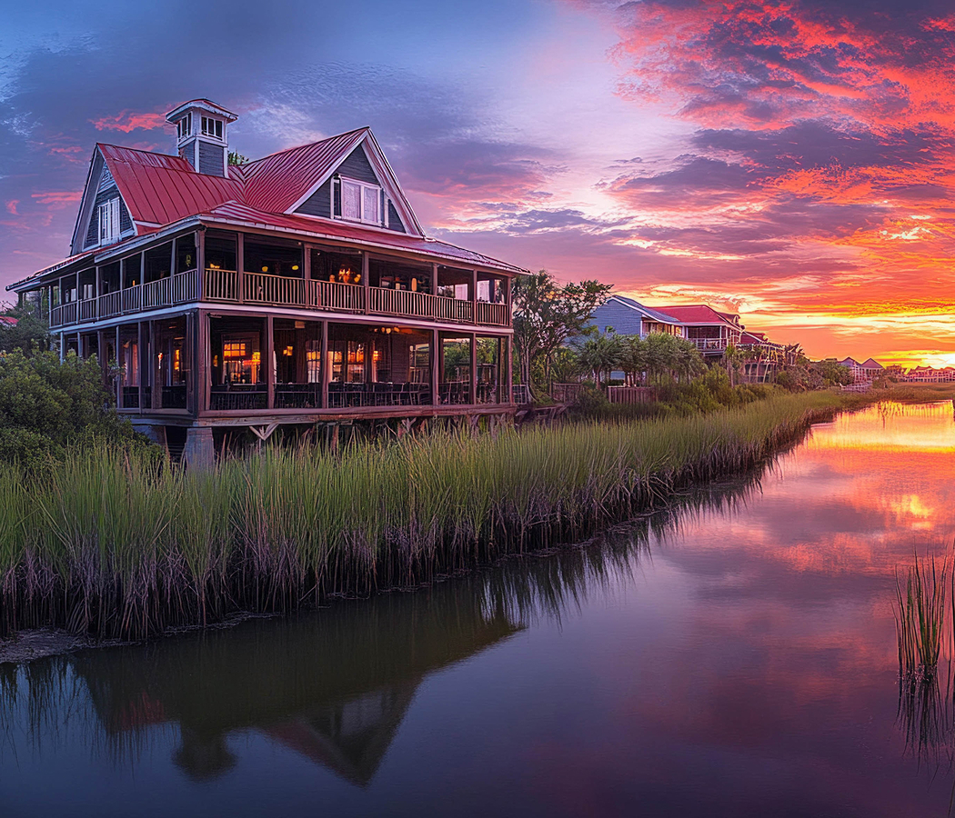
Lady's Island is a picturesque coastal community where Beaufort's Sea Islands heritage, tidal waterways, Lowcountry landscapes, and centuries of settlement shape one of the region's most enduring waterfront communities.
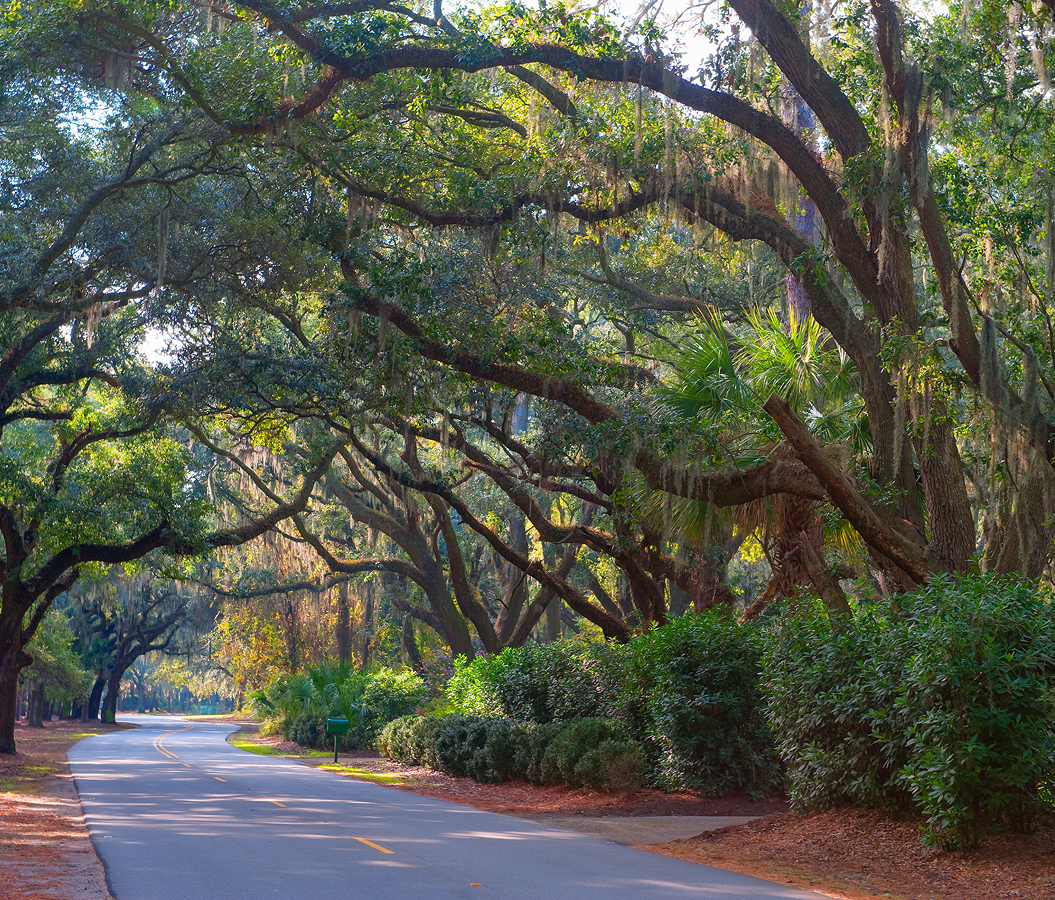
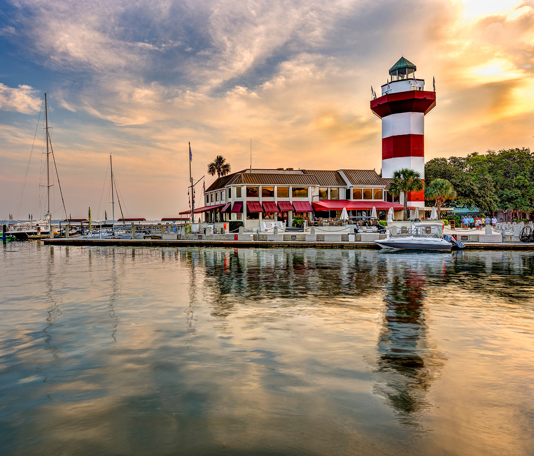
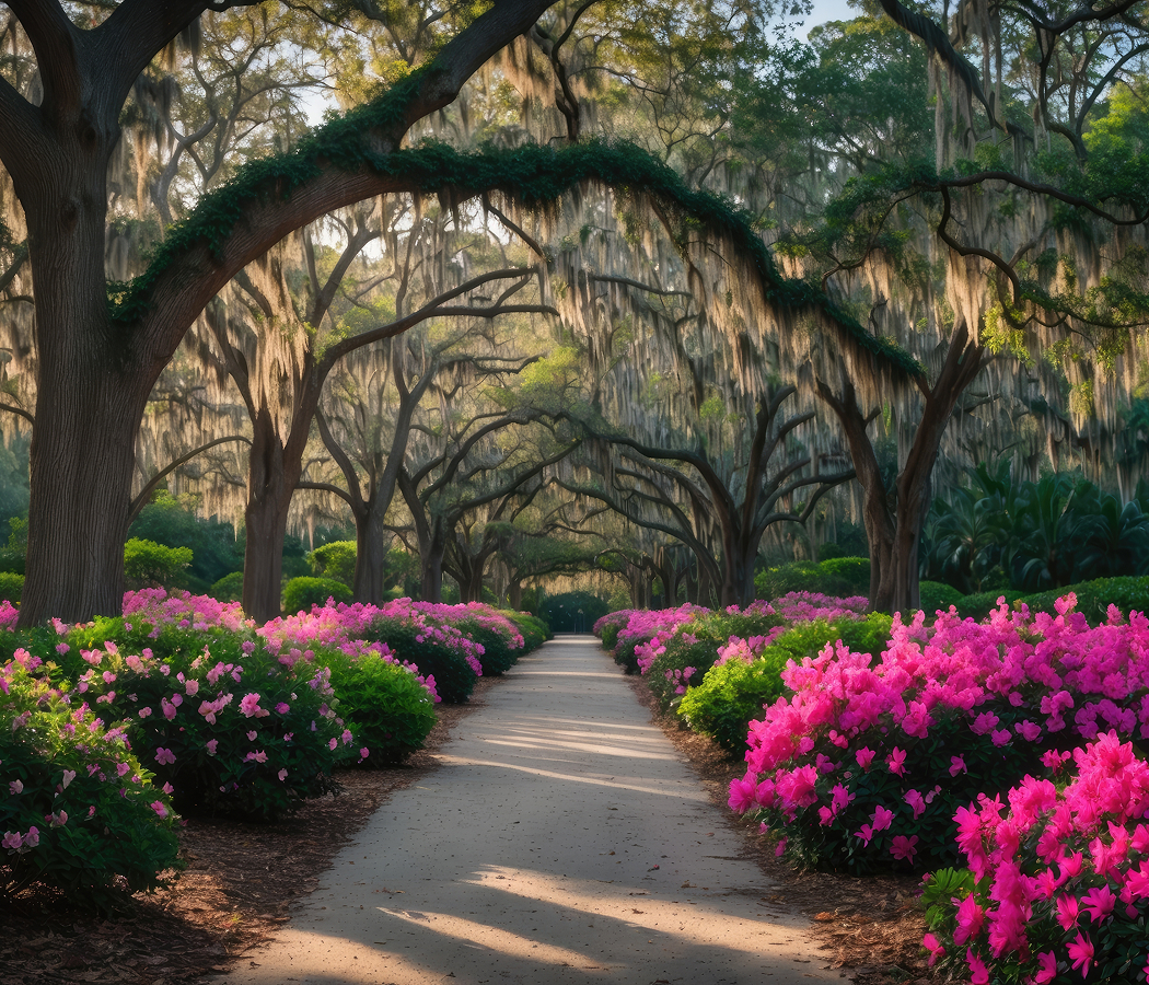
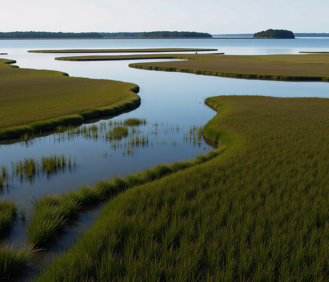
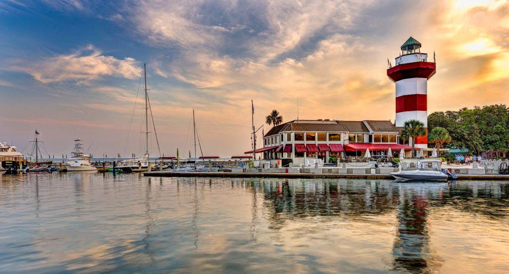
Positioned east of Downtown Beaufort between the Beaufort River and Coosaw River, this island community unfolds across broad salt marshes, winding tidal creeks, maritime forests, and residential neighborhoods connected by scenic roadways and expansive waterfront vistas. Historic churches, working farms, quiet neighborhoods, and public river access preserve a close relationship with the surrounding estuary while reflecting generations of life shaped by the tides. The result is a community defined by coastal scenery, rich historical continuity, and the distinctive landscapes of South Carolina's Sea Islands.
What you should know about Lady's Island.
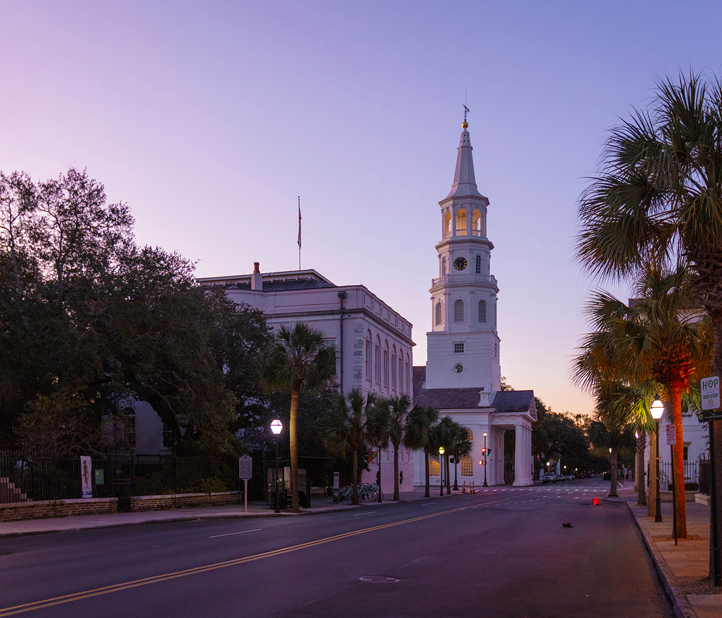
Lady's Island is best known as one of the largest Sea Islands in South Carolina, encompassing 12 square miles immediately east of Beaufort and connected to the mainland by the Woods Memorial Bridge, completed in 1951, and the Richard V. Woods Memorial Bridge, which replaced an earlier swing bridge spanning the Beaufort River. The island takes its name from Lady Margaret Yeamans, wife of seventeenth-century colonial governor Sir John Yeamans, while archaeological evidence documents Indigenous occupation for thousands of years before English settlement began in the late 1600s. St. Helena's Anglican Parish established churches and plantations throughout the region during the colonial era, with agriculture centered on Sea Island cotton, indigo, and rice before the Civil War transformed the area's economy through the Port Royal Experiment, among the nation's earliest large-scale efforts supporting formerly enslaved people following Union occupation in 1861. Today Lady's Island contains residential communities, working farms, marsh conservation areas, boat landings, schools, and commercial centers while providing direct access to Hunting Island, St. Helena Island, and the broader network of Beaufort County's Sea Islands.
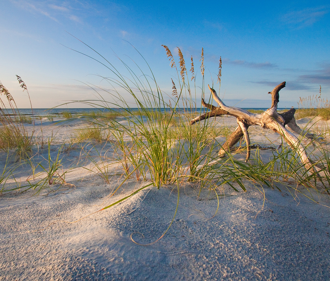
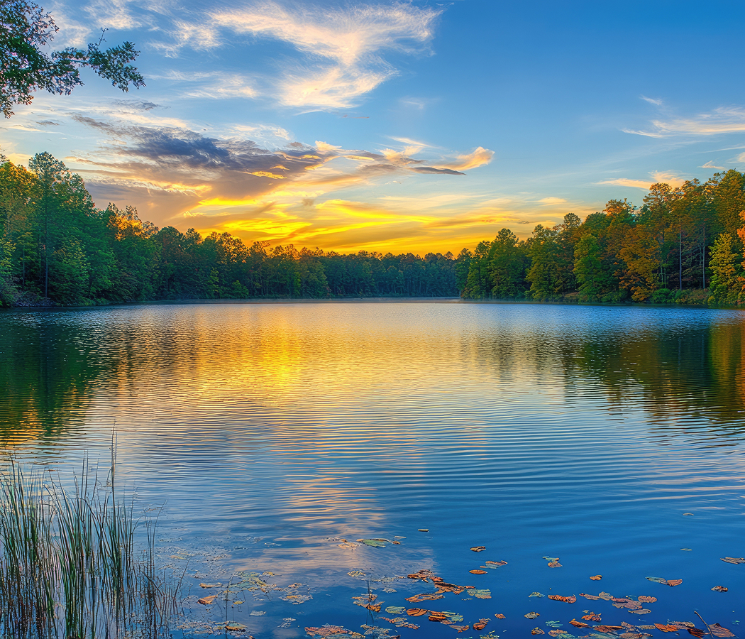
Marsh ecosystems, tidal creeks, and the surrounding estuary continue shaping the island as strongly as its centuries of human settlement. Fresh seafood harvested from nearby waters, generations-old churches, preserved agricultural landscapes, and broad waterfront panoramas reinforce the enduring connection between the community and the Lowcountry environment. Scenic drives reveal working oyster grounds, shrimp boats, maritime forests, and quiet neighborhoods that reflect both the island's colonial origins and its continuing role within Beaufort County's coastal landscape.
How to fold Lady's Island into your trip.
Lady's Island is best experienced through its history, waterfront scenery, and connections to the Sea Islands.
Begin at Charlesfort-Santa Elena National Historic Landmark, where archaeological discoveries interpret the French settlement of Charlesfort in 1562 and the Spanish capital of La Florida established in 1566. Continue to Whitehall Park, whose riverfront boardwalks, fishing pier, and walking trails provide expansive views across the Beaufort River and surrounding marshes. Conclude at Gay Fish Company, where generations of local seafood harvesting continue reflecting the working waterfront traditions that have long defined the Sea Islands. The progression moves naturally from early colonial history to the riverfront before concluding with one of the area's longstanding seafood businesses.
Where your story begins.
Foresyte Travel reveals places that feel extraordinary long before you arrive.
Experience premium editorial crafted for luxury travelers.