Why Toronto Islands matters.
Toronto Islands are a remarkable waterfront archipelago where Toronto Harbour's maritime geography meets the geological forces of Lake Ontario, the recreational ambitions of nineteenth-century Toronto and a distinctive island community separated from the city's metropolitan shoreline.
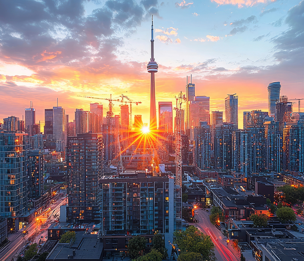
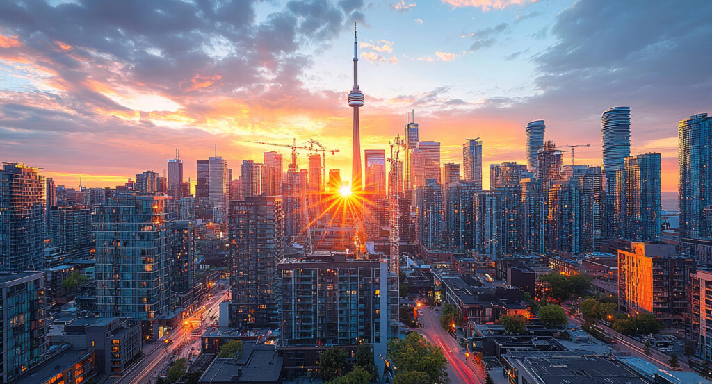
Stretching across Toronto Harbour south of the downtown waterfront, the archipelago occupies a chain of low-lying islands between the Inner Harbour and Lake Ontario, where sheltered lagoons, sandy beaches, wooded parkland and small residential enclaves form a continuous landscape accessible principally by ferry. Narrow channels divide the islands into interconnected sections crossed by pedestrian bridges and recreational paths. The northern shore faces the downtown skyline, with open lawns and harbor promenades providing expansive views of the city's towers. Southern beaches extend toward the lake, where dunes, shoreline vegetation and broad stretches of sand establish a contrasting environment. The result is an extensive island landscape whose recreational spaces, maritime geography and established residential communities preserve an unusual relationship between Toronto's urban center and the natural environment of Lake Ontario.
What defines Toronto Islands.
Toronto Islands are best known for its transformation from a shifting Lake Ontario sand peninsula into a recreational archipelago that became one of Toronto's most important public parklands. The islands originated through the accumulation of sand and sediment transported westward along the northern shore of Lake Ontario by prevailing waves and shoreline processes. These deposits formed a long peninsula extending from the vicinity of the Scarborough Bluffs toward Toronto Harbour, creating a protected natural basin that supported the development of the city's port. Indigenous peoples used the peninsula and surrounding waterways long before European settlement, incorporating the area into established routes of travel, fishing and seasonal gathering. The Mississaugas of the Credit maintained important relationships with the Toronto waterfront, including the peninsula's sheltered shoreline and adjacent marshlands. During the eighteenth century, British colonial authorities recognized the strategic importance of the harbor, establishing military facilities on the mainland and nearby waterfront. The peninsula gradually became associated with fishing, boating and recreational excursions as York expanded during the early nineteenth century. A series of severe storms altered the shoreline, culminating in an 1858 storm that opened a permanent channel between the peninsula and the mainland. This breach created the eastern entrance to Toronto Harbour and established the principal geographical separation that defines the islands. Subsequent harbor improvements and dredging operations altered the channels and shorelines, producing the interconnected island configuration visible in later decades. Recreational development expanded during the late nineteenth century as ferry services carried residents to beaches, hotels and amusement facilities. The Toronto Island Park system gradually incorporated substantial public lands, strengthening the archipelago's importance as a recreational destination. Residential communities developed on portions of the islands, establishing cottages and permanent homes alongside the expanding parkland. Twentieth-century municipal policies introduced major changes to island housing, including the demolition of numerous residences during park redevelopment. Organized opposition by island residents eventually contributed to the Toronto Islands Residential Community Stewardship Act of 1993, establishing a legal structure for the preservation and administration of the remaining residential communities.
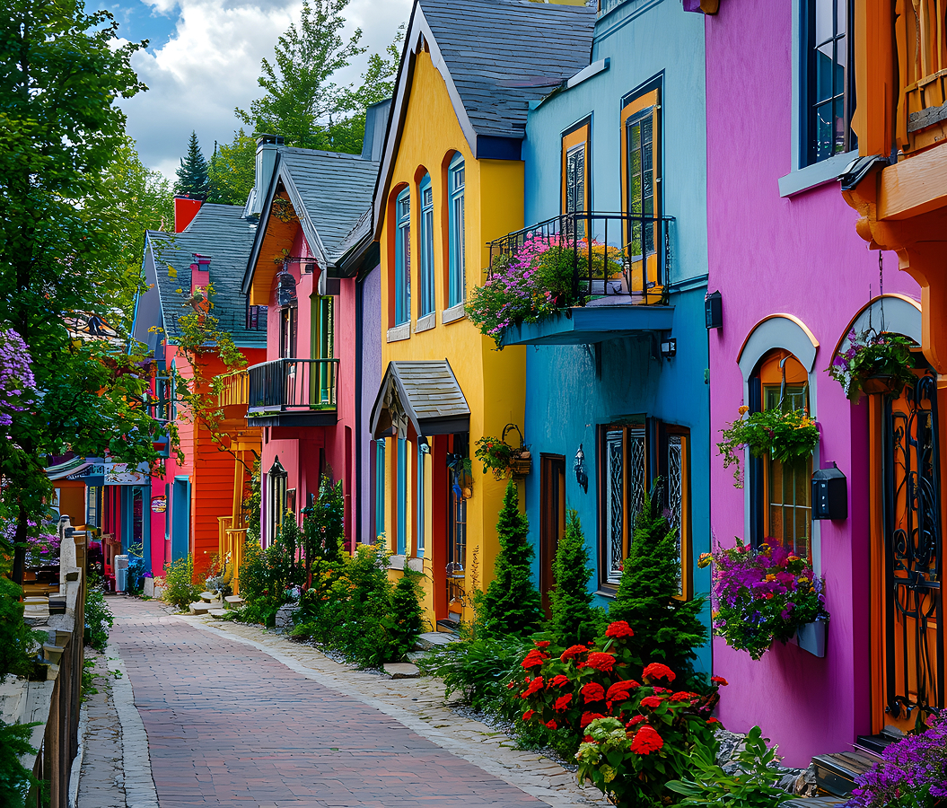
Ward's Island preserves the archipelago's distinctive residential character through a closely arranged collection of modest houses, narrow pedestrian paths and gardens established within the surrounding parkland. The community's buildings occupy small plots connected by footpaths, creating a settlement pattern that differs substantially from Toronto's conventional street grid. Individual houses incorporate verandas, painted wooden siding and landscaped gardens, contributing to an intimate residential environment near the harbor. The absence of ordinary private automobile traffic allows walking and cycling to organize movement through the surrounding neighborhood. Nearby Algonquin Island contains a second residential community, connected by a bridge across one of the archipelago's narrow channels. Its houses and gardens occupy a compact landscape where water remains visible between buildings and along the island's edges. Centre Island introduces a different pattern of use through broad lawns, recreational paths and facilities designed for day trips. The Centreville Amusement Park incorporates family-oriented rides within a landscaped setting, continuing the islands' longstanding association with seasonal entertainment. The Franklin Children's Garden provides an educational landscape organized around the children's stories of Franklin the Turtle, combining planting areas with interactive outdoor features. Hanlan's Point extends toward the western end of the archipelago, where open parkland and beaches create a more expansive shoreline environment. Its beach includes a designated clothing-optional section, reflecting the diversity of recreational uses accommodated across the islands. The surrounding waters support sailing, kayaking and paddleboarding, with sheltered channels providing routes through the archipelago's interior lagoons. Mature trees, shoreline grasses and wetland vegetation contribute to the islands' ecological character, supporting birdlife and other species associated with Lake Ontario's coastal environments. Seasonal ferry operations connect the principal landing points with the mainland, maintaining the islands' dependence on water transportation. Toronto Islands combines residential life, public recreation and shoreline ecology within a geographically distinct landscape shaped by both natural processes and generations of municipal planning.
How Toronto Islands fits.
Toronto Islands work as the waterfront centerpiece for a Toronto outing connecting the city's maritime transportation heritage, its former industrial shoreline and the public spaces developed along the central harbor.
Begin at Jack Layton Ferry Terminal, the principal mainland departure point for passenger ferries serving the islands. Located near the foot of Bay Street, the terminal occupies an important position along Toronto's central waterfront. Ferry services have connected the city with the islands since the nineteenth century, supporting recreational excursions, residential access and the development of island communities. The terminal was renamed in 2013 to honor Jack Layton, the former Toronto city councillor and federal political leader. Its passenger facilities organize departures toward the principal island landing points, maintaining a transportation connection central to the archipelago's daily operation. Continue to Harbourfront Centre, the cultural institution established during the 1970s as part of the redevelopment of Toronto's former industrial waterfront. Its buildings and outdoor spaces accommodate exhibitions, performances, festivals and educational programming. The surrounding promenades provide views across Toronto Harbour, connecting cultural activity with the maritime landscape. The institution's development formed part of a broader initiative to reclaim former port and industrial properties for public use. Its substantial waterfront setting preserves an important relationship between Toronto's commercial shoreline and the expansion of accessible civic space. Conclude at HTO Park, the contemporary waterfront landscape opened in 2007 along Queens Quay West. Designed through a collaboration involving Janet Rosenberg + Associates, Claude Cormier and Hariri Pontarini Architects, the park incorporates distinctive yellow umbrellas, sandy seating areas and landscaped green spaces. Its design introduces a beach-like public environment beside the harbor, creating a recreational setting within the dense downtown waterfront. The park's open views extend toward the islands and passing vessels, reinforcing the visual relationship between the mainland and the archipelago. The progression moves from Jack Layton Ferry Terminal's maritime transportation heritage through Harbourfront Centre's cultural waterfront and culminates at HTO Park's contemporary public landscape, connecting Toronto Islands with the continuing redevelopment of the city's harbor.
Where your story begins.
Foresyte Travel reveals places that feel extraordinary long before you arrive.
Enjoy editorial crafted for luxury travelers.
Foresyte may earn a commission when you book.