Why the Via Ferrata du Diable matters.
Via Ferrata du Diable is a cable-protected cliff route where the Laurentians' ancient rock formations meet the Rivière du Diable's winding valley and the adaptation of European mountaineering techniques to Quebec's protected mountain terrain.
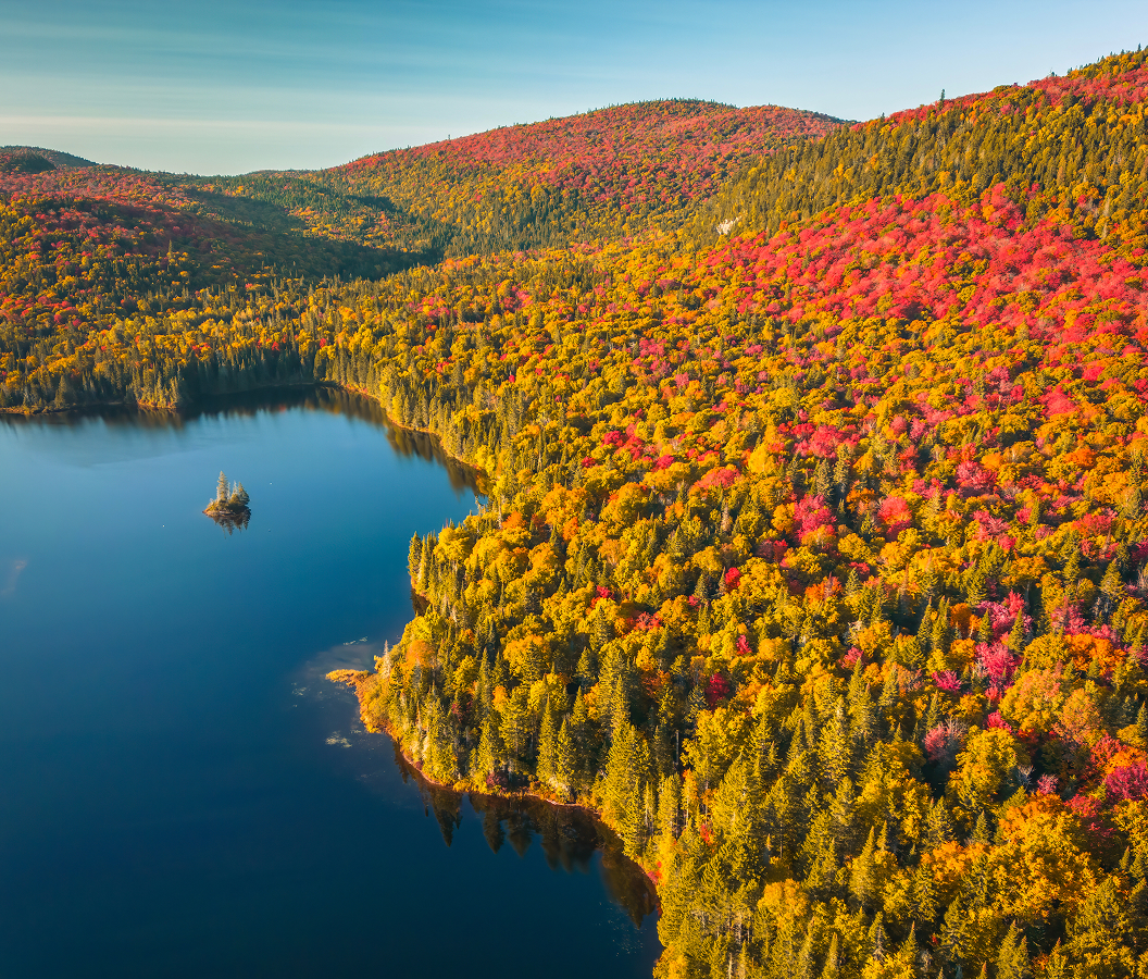
Set along the Vache Noire rock face near the entrance to the La Diable sector of Mont-Tremblant National Park, the climbing route occupies a forested escarpment above the Rivière du Diable, reached through the park's eastern approach from Lac-Supérieur, beyond Mont-Tremblant Resort's mountain facilities. Exposed rock walls rise above a river corridor enclosed by mixed Laurentian forest. Steel cables, metal footholds and suspended crossings follow the cliff's natural contours. Elevated sections reveal the river's bends beneath the surrounding mountain ridges. The result is a constructed climbing route that provides controlled access to terrain otherwise associated with technical rock climbing.
What defines the Via Ferrata du Diable.
Via Ferrata du Diable is best known for its guided climbing circuits across the Vache Noire escarpment, incorporating fixed steel cables, metal steps, suspended bridges and elevated traverses above the Rivière du Diable. The activity belongs to the European tradition of via ferrata, an Italian term meaning iron path, associated with mountain routes equipped with permanent climbing aids. Early protected routes developed in the European Alps during the nineteenth century, combining mountain access with fixed ladders and cables. Military construction during the First World War expanded the use of such infrastructure in the Dolomites, where soldiers traversed exposed mountain terrain. Recreational mountaineering subsequently adapted these techniques for civilian climbing routes. Quebec's development of guided via ferrata activities brought the approach to the province's cliffs and mountain valleys. Mont-Tremblant National Park provided a setting for this adaptation through its established recreational infrastructure and extensive protected territory. The park originated in 1895, becoming Quebec's oldest provincial national park. Its protected landscape extends across the Laurentides and Lanaudière regions, encompassing mountain forests, lakes and major river systems. The Vache Noire escarpment provided a suitable location for an equipped route connecting technical climbing movements with established park access. The climbing activity was developed around professionally guided excursions, allowing participants to traverse exposed sections using permanently installed protective equipment. Its circuit system subsequently accommodated different levels of difficulty through routes of increasing length and more demanding suspended crossings. The resulting attraction occupies a distinct position within the park's recreational program, combining the engineering of protected climbing routes with direct access to the Laurentian escarpment.
Vache Noire's rock wall determines the sequence of climbing movements, beginning with secured access to the cliff and continuing across exposed sections above the river valley. Participants wear helmets and climbing harnesses connected to a continuous steel safety cable through specialized protective equipment. Professional guides explain attachment procedures, movement techniques and the operation of the fixed climbing aids before the ascent. The introductory Excursion circuit extends 500 meters and includes two beams and a suspended walkway. Its itinerary requires three and a half hours, incorporating preparation, climbing and the return journey. The intermediate circuit extends 800 meters and reaches the upper section of the mountain through additional traverses and elevated crossings. Its five-hour itinerary provides views across the surrounding highlands and the river's successive bends. The advanced Grande Virée circuit extends 1,000 meters, incorporating two walkways, two beams, a rope bridge and a Nepalese-style suspension bridge. The complete advanced excursion requires five and a half hours. Group sizes are limited to eight participants, allowing guides to supervise movement across the technical sections. The route's elevation places climbers above the surrounding forest canopy at several points, exposing the underlying rock face and the valley's topography. Progress across the cliff alternates between metal footholds, narrow beams and suspended structures whose movement requires controlled balance. The final sections connect the equipped climbing route with established return paths through the forest. Seasonal operation concentrates the activity between late spring and autumn, when the park's climbing infrastructure is accessible.
How the Via Ferrata du Diable fits.
Via Ferrata du Diable works as the vertical recreation centerpiece for a Laurentian itinerary connecting the river's geological landscape, the protected forests of Mont-Tremblant National Park and the region's historic mountain communities.
Begin at Chute du Diable, a waterfall along the Rivière du Diable within Mont-Tremblant National Park. The waterfall occupies a rocky section of the river where water descends across resistant bedrock within a forested valley. A designated walking route provides access to the falls through the park's established trail network. The surrounding terrain contains exposed rock, riverbank vegetation and woodland characteristic of the Laurentian environment. Its location demonstrates the influence of geological structure and river erosion on the formation of the park's waterfalls and channels. The site provides a ground-level encounter with the same river system visible beneath the climbing route. Continue to Lac Monroe, the principal lake associated with the park's La Diable sector. Its shoreline contains the area's main discovery and visitor facilities, connecting recreational access with the surrounding forest and mountain landscape. The lake occupies a basin within the Laurentian highlands, bordered by wooded slopes and smaller drainage channels. Canoeing and other nonmotorized water activities provide access to its sheltered waters during operating seasons. The surrounding trail network connects the lakeshore with forested terrain shaped by glacial processes. The lake's recreational infrastructure demonstrates the park's management of public access within a protected natural environment. Conclude at Lac-Supérieur, the lakeside community situated southeast of the park's La Diable entrance. The municipality developed through the settlement of the Laurentian uplands and the expansion of seasonal recreation around its mountain lakes. Its residential landscape contains cottages, wooded properties and small commercial establishments associated with the surrounding recreational economy. The lake itself occupies a forested basin within the Upper Laurentian terrain, supporting seasonal boating and lakeside activities. Roads connecting the community with the national park follow the region's irregular mountain topography. The settlement provides a geographical connection between the park's protected interior and the inhabited valleys of the Laurentians. The progression moves from a river waterfall through a mountain lake and concludes at a Laurentian settlement, connecting Via Ferrata du Diable with the geological and recreational development of the surrounding region.
Where your story begins.
Foresyte Travel reveals places that feel extraordinary long before you arrive.
Enjoy editorial crafted for luxury travelers.
Foresyte may earn a commission when you book.