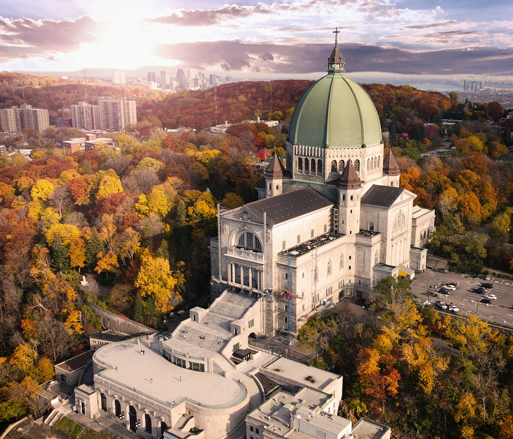
Why you should experience Weston Road in Toronto, Ontario.
Weston Road is a resilient corridor where Weston's industrial heritage, Humber River landscapes, transportation legacy, and enduring village character continue defining one of Toronto's most historically significant urban routes.
Running through Weston between Mount Dennis and Humberlea, the corridor traces a landscape where nineteenth-century commercial blocks, Humber River parklands, longstanding civic institutions, and generations of independent businesses preserve the character of a community that long predates metropolitan Toronto. Successive blocks reveal how early transportation, milling, manufacturing, and neighborhood life evolved together beside the Humber River while adapting to more than two centuries of urban change. Throughout the corridor, historic streetscapes, natural landscapes, and civic landmarks remain closely connected, creating an unusually complete expression of Toronto's west-end history. The result is an experience defined by historical continuity, layered community character, and one of Toronto's most distinctive corridors.
What you should know about Weston Road.
Weston Road is best known for originating during the first decade of the nineteenth century as one of Upper Canada's earliest overland routes, following portions of the much older Indigenous Toronto Carrying Place Trail before extending north toward Vaughan between 1810 and 1820 as settlement expanded beyond York. In 1841 the route became the privately operated Weston Plank Road, whose timber-planked toll surface stretched north from Dundas Street to Musson's Bridge across the Humber River, while the Weston Plank Road Company later extended the corridor toward Clairville through the Albion Plank Road and established its headquarters at present-day 2371 Weston Road. By the 1840s Weston Road had become the principal connection between Toronto and the rapidly growing milling settlement of Weston, whose economy developed around Humber River sawmills and gristmills before the arrival of the Grand Trunk Railway in 1856 and the Toronto, Grey and Bruce Railway in 1871 reinforced the corridor as one of Toronto's defining transportation and industrial axes. Portions of Weston Road also preserve the route of the Toronto Carrying Place Trail, an Indigenous portage connecting Lake Ontario with the Upper Great Lakes whose enduring significance contributed to the Humber River receiving Canadian Heritage River designation in 1999 and whose history is commemorated through interpretive initiatives along the corridor.
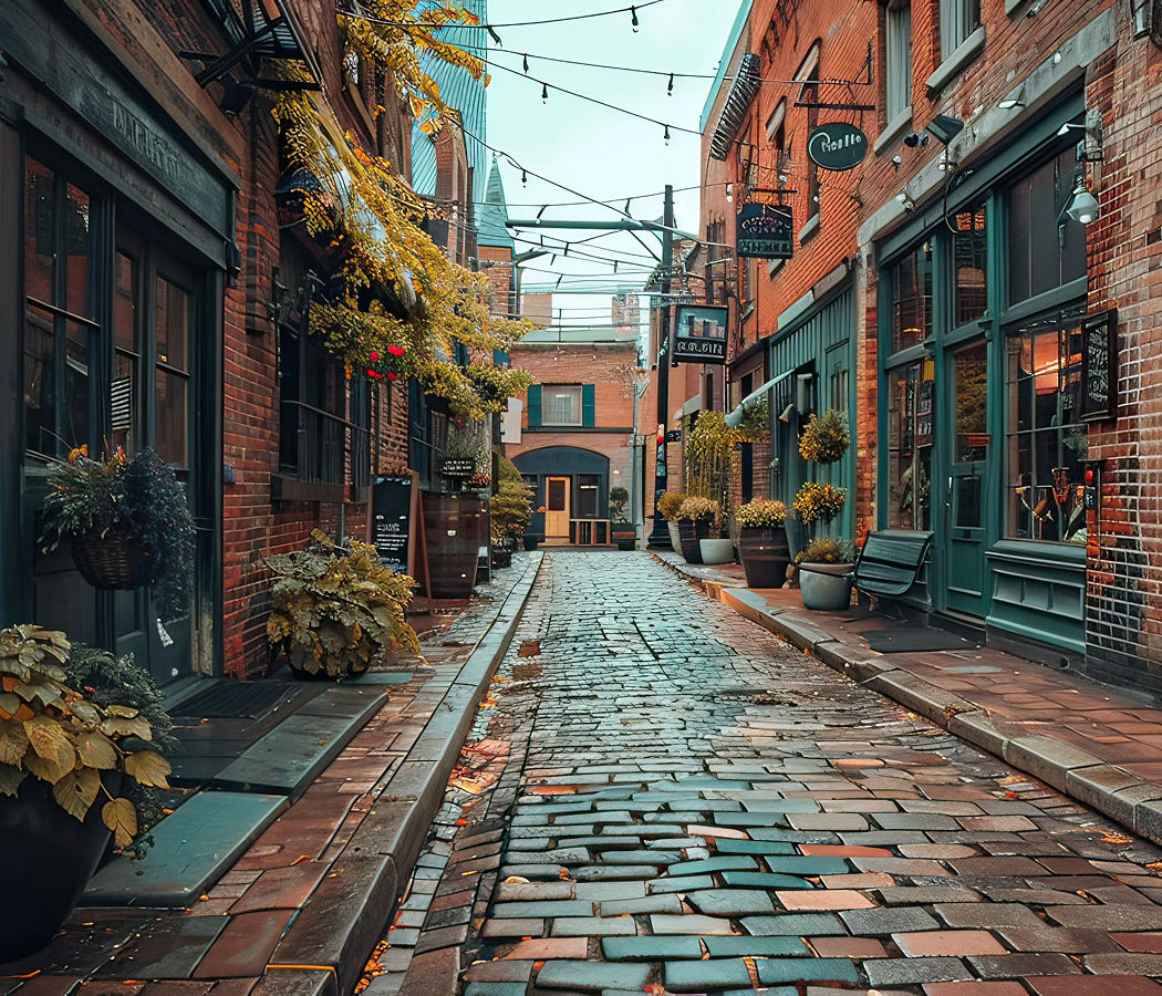
The former Town of Weston established its own municipal institutions after incorporating as a village in 1881, became a town in 1915, and remained independent until joining the Borough of York in 1967, allowing Weston Road to serve as the community's enduring civic spine throughout successive phases of municipal growth. Historic commercial buildings lining the corridor continue reflecting Weston's prosperity as flour mills, furniture factories, wire manufacturers, and railway industries transformed the community into one of York County's leading industrial centres during the late nineteenth and early twentieth centuries. Heritage conservation efforts have since preserved substantial portions of the traditional main street while recognizing the corridor's importance within the broader cultural landscape of the Humber River valley and Toronto's early transportation history. Together, these municipal milestones, industrial legacies, preserved streetscapes, and conservation initiatives demonstrate how Weston Road evolved beyond a transportation route into the defining historical structure of Weston itself.
How to fold Weston Road into your trip.
Weston Road works as an exploration of Weston's industrial heritage, Humber River landscapes, and enduring village character.
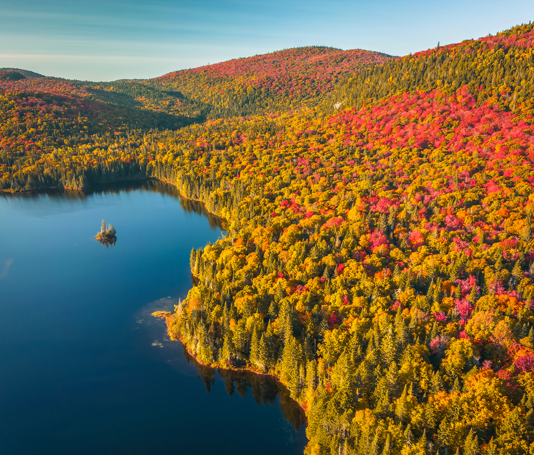
Begin at Weston Lions Park, where the Humber River, riverside trails, and open green spaces introduce the natural landscape that first attracted Indigenous travelers, mill operators, and early settlers to the community. Continue to Weston Heritage Conservation District, whose preserved nineteenth- and early twentieth-century commercial buildings reveal the prosperous town that emerged through milling, manufacturing, and railway expansion. Conclude at Humber River Recreation Trail, where wooded valley landscapes and the Canadian Heritage River corridor provide a fitting finale celebrating the natural setting that has shaped Weston for centuries. The progression moves naturally from the Humber River landscape to Weston's preserved historic core before concluding within the valley that first gave the corridor its purpose, revealing why Weston Road remains the defining expression of Weston.
Where your story begins.
Foresyte Travel reveals places that feel extraordinary long before you arrive.
Experience premium editorial crafted for luxury travelers.