Why Grouse Mountain matters.
Grouse Mountain is a forested alpine recreation area where North Vancouver's Coast Mountain terrain meets the development of British Columbia's winter sports, the engineering of aerial mountain transportation and the preservation of wildlife habitats above Vancouver's metropolitan shoreline.
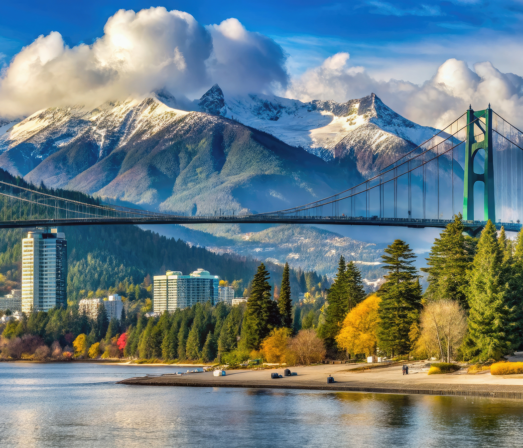
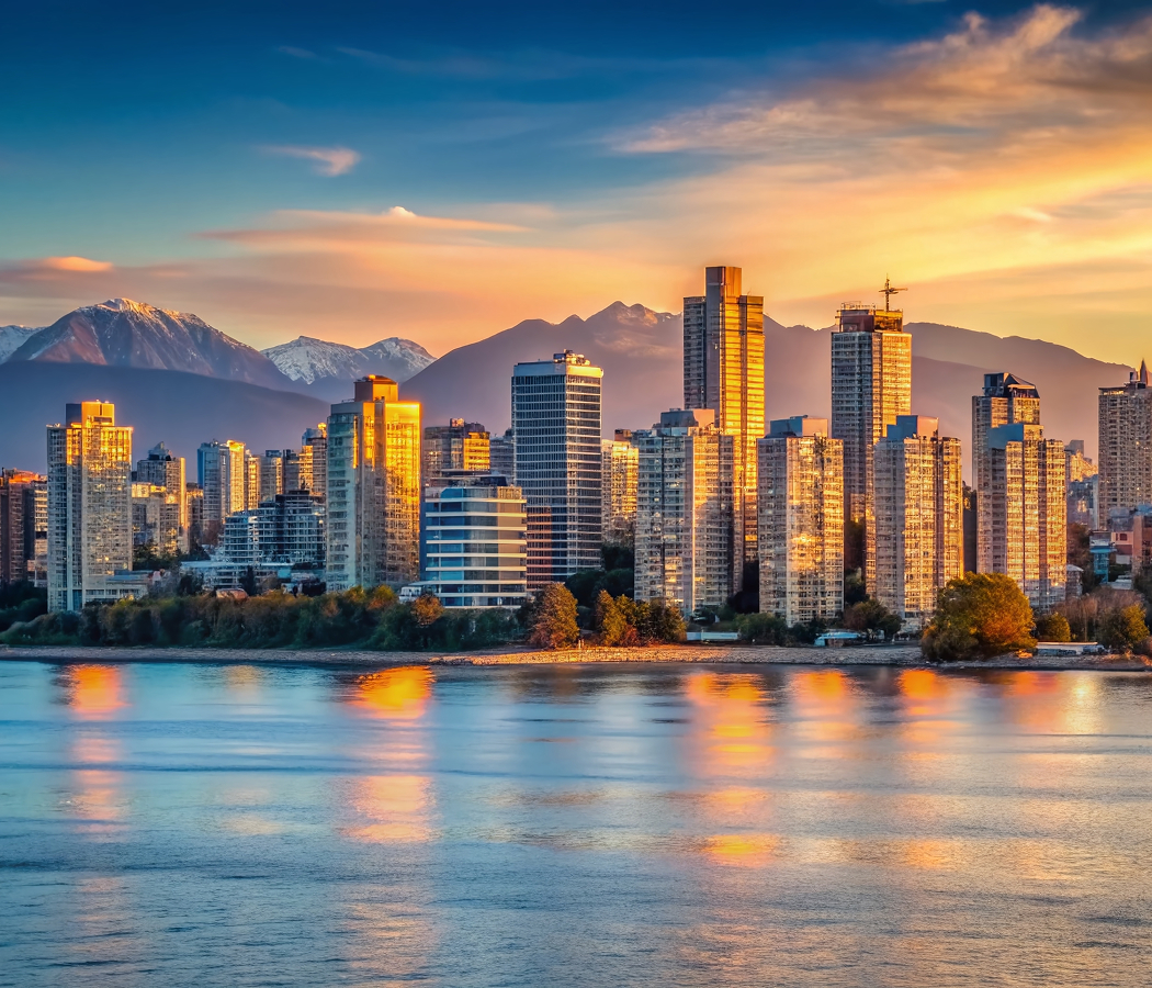
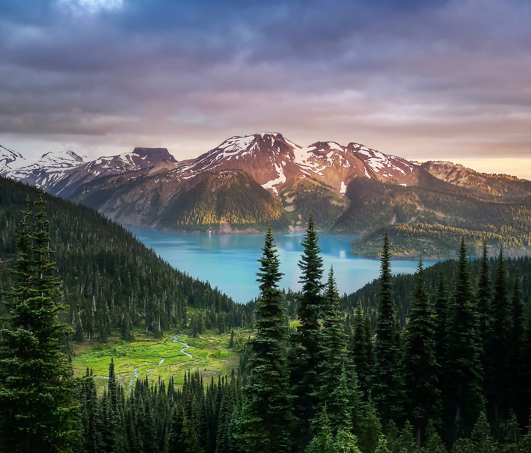
Rising above Nancy Greene Way near Grousewoods Drive and a short drive from Cleveland Dam, the mountain occupies the southern slopes of the North Shore Mountains, overlooking Capilano River Regional Park, Burrard Inlet and the Vancouver skyline, with its summit facilities positioned above the forested residential districts of North Vancouver. Aerial gondolas connect the lower terminal with the upper mountain complex. Ski slopes and chairlifts extend across cleared sections of the upper terrain. Forest trails traverse the lower mountainside through stands of western hemlock, Douglas fir and western red cedar. The result is a mountain recreation area whose elevation, transportation infrastructure and coastal forest setting connect metropolitan Vancouver with the alpine environments of southwestern British Columbia.
What defines Grouse Mountain.
Grouse Mountain is best known for its aerial gondolas, ski slopes, Grouse Grind hiking trail and panoramic views across Vancouver and the surrounding Pacific coast. Its recreational history began during the early twentieth century, when outdoor enthusiasts explored the North Shore Mountains as Vancouver's population expanded. The mountain received its name in 1894 after a hunting expedition encountered blue grouse in the surrounding forest. Early mountaineers and hikers reached the summit through demanding routes that required substantial travel on foot. In 1926, the Grouse Mountain Ski Club constructed a cabin near the summit, establishing organized winter recreation on the mountain. Skiers initially ascended through forest trails carrying their equipment, making access dependent upon physical endurance and favorable weather. The development of mechanical ski lifts during the following decades gradually changed the mountain's recreational possibilities. A chairlift installed in 1949 improved access to the upper slopes, contributing to the expansion of organized skiing. The mountain's recreational facilities subsequently developed through additional lifts, ski runs and visitor infrastructure. In 1966, the original Grouse Mountain Skyride aerial tramway opened, providing a direct transportation connection between the lower terminal and the summit area. The system substantially increased the mountain's accessibility and supported the expansion of year-round recreational activities. A larger aerial tramway introduced in 1976 strengthened the mountain's passenger capacity and established a principal feature of its transportation infrastructure. The Grouse Grind developed into a recognized hiking route during the late twentieth century, attracting substantial participation from residents and recreational athletes. Wildlife conservation programs expanded the mountain's educational functions through the establishment of habitats for animals native to British Columbia. The mountain's proximity to Vancouver supported its development as a year-round recreation destination combining winter sports, hiking and environmental education. Subsequent investment in aerial transportation, including the Blue Grouse Gondola, expanded passenger access and modernized the mountain's infrastructure.
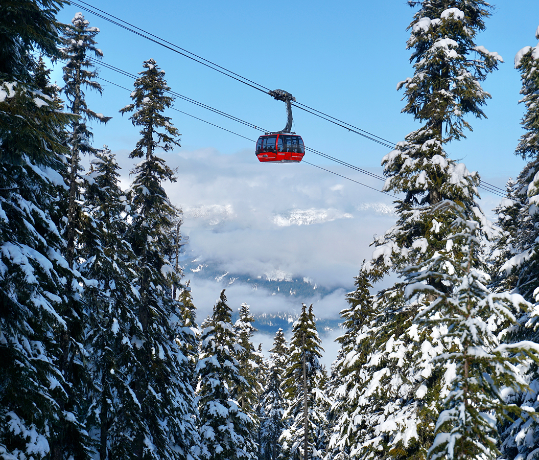
The Skyride's aerial transportation system carries passengers above the forested slopes, providing views across the Capilano watershed and the metropolitan coastline. Its cable-supported cabins ascend from the lower terminal to the upper mountain complex, overcoming substantial elevation differences across the steep terrain. The Blue Grouse Gondola supplements this transportation network through enclosed cabins operating between the base and upper mountain. The Grouse Grind follows a steep forest route ascending 853 meters over a distance of 2.5 kilometers. Its trail incorporates substantial wooden steps, exposed roots and rocky sections through dense coastal forest. The route's sustained gradient has established it as a major recreational fitness challenge within metropolitan Vancouver. The upper mountain contains ski terrain served by chairlifts and surface lifts, with runs extending across slopes of differing gradients. Winter operations incorporate snowmaking infrastructure and grooming equipment to maintain designated skiing areas. The mountain's Eye of the Wind structure incorporates a wind turbine and an elevated observation area associated with renewable energy education. Wildlife programs include a grizzly bear habitat established for rescued bears Grinder and Coola, providing a managed environment for animals unable to return to the wild. Educational presentations examine the ecology and behavior of British Columbia's large mammals. The mountain's upper facilities include observation terraces, dining areas and outdoor recreation spaces overlooking the surrounding region. Hiking routes extend beyond the developed recreation area into the adjacent North Shore mountain landscape. The summit's elevation creates substantial differences in weather and vegetation between the lower forest and upper slopes. Its physical arrangement connects aerial transportation, alpine recreation and wildlife education through the geography of the Coast Mountains.
How Grouse Mountain fits.
Grouse Mountain works as the alpine centerpiece for a North Vancouver itinerary connecting the region's watershed infrastructure, temperate rainforest ecosystems and the engineering of mountain transportation.
Begin at Cleveland Dam, the concrete gravity dam situated across the Capilano River in North Vancouver. Completed in 1954, the structure impounds Capilano Lake, an important reservoir within Metro Vancouver's drinking-water system. The dam rises above a steep river valley bordered by forested mountain slopes. Its construction formed part of the development of regional water infrastructure required to support Vancouver's expanding population. Public viewpoints provide views across the reservoir and the downstream valley. The surrounding landscape connects the city's municipal water supply with the protected watersheds of the North Shore Mountains. Continue to Capilano Suspension Bridge Park, the forest attraction centered on a pedestrian suspension bridge crossing the Capilano River. The original crossing was constructed in 1889 by Scottish engineer George Grant Mackay, establishing access across the steep river gorge. The bridge was subsequently rebuilt and incorporated into a commercial recreation complex. Its suspended walkway extends 137 meters across the canyon, rising 70 meters above the river. Additional elevated walkways connect visitors with the surrounding temperate rainforest. The park's development demonstrates the transformation of North Vancouver's forested river valleys into major recreational and educational destinations. Conclude at Lynn Canyon Park, the municipal forest reserve situated east of the Capilano watershed. Established in 1912, the park preserves a section of coastal temperate rainforest surrounding Lynn Creek. Its suspension bridge crosses a narrow canyon above the creek, connecting trails through mature conifer forest. The surrounding landscape contains waterfalls, pools and exposed rock formations shaped by the movement of water through the mountain valley. The Lynn Canyon Ecology Centre provides educational exhibits concerning local forest ecosystems and wildlife. The park connects North Vancouver's recreational trail network with the ecological environments of the Coast Mountains. The progression moves from regional water infrastructure through suspended forest crossings and concludes within a protected river canyon, connecting Grouse Mountain with the natural systems and engineering projects that shaped North Vancouver.
Where your story begins.
Foresyte Travel reveals places that feel extraordinary long before you arrive.
Enjoy editorial crafted for luxury travelers.
Foresyte may earn a commission when you book.