Why North End matters.
North End is a historically consequential enclave where Hilton Head's maritime Lowcountry character meets Indigenous settlement, plantation-era agriculture, Civil War occupation and the nationally significant African American community created at Mitchelville after Union forces captured the island.
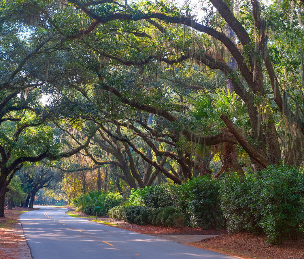
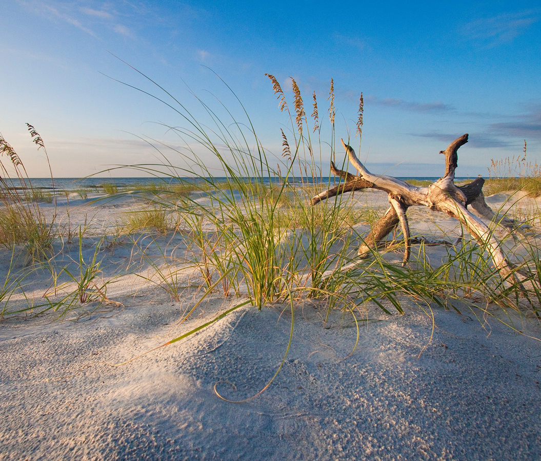
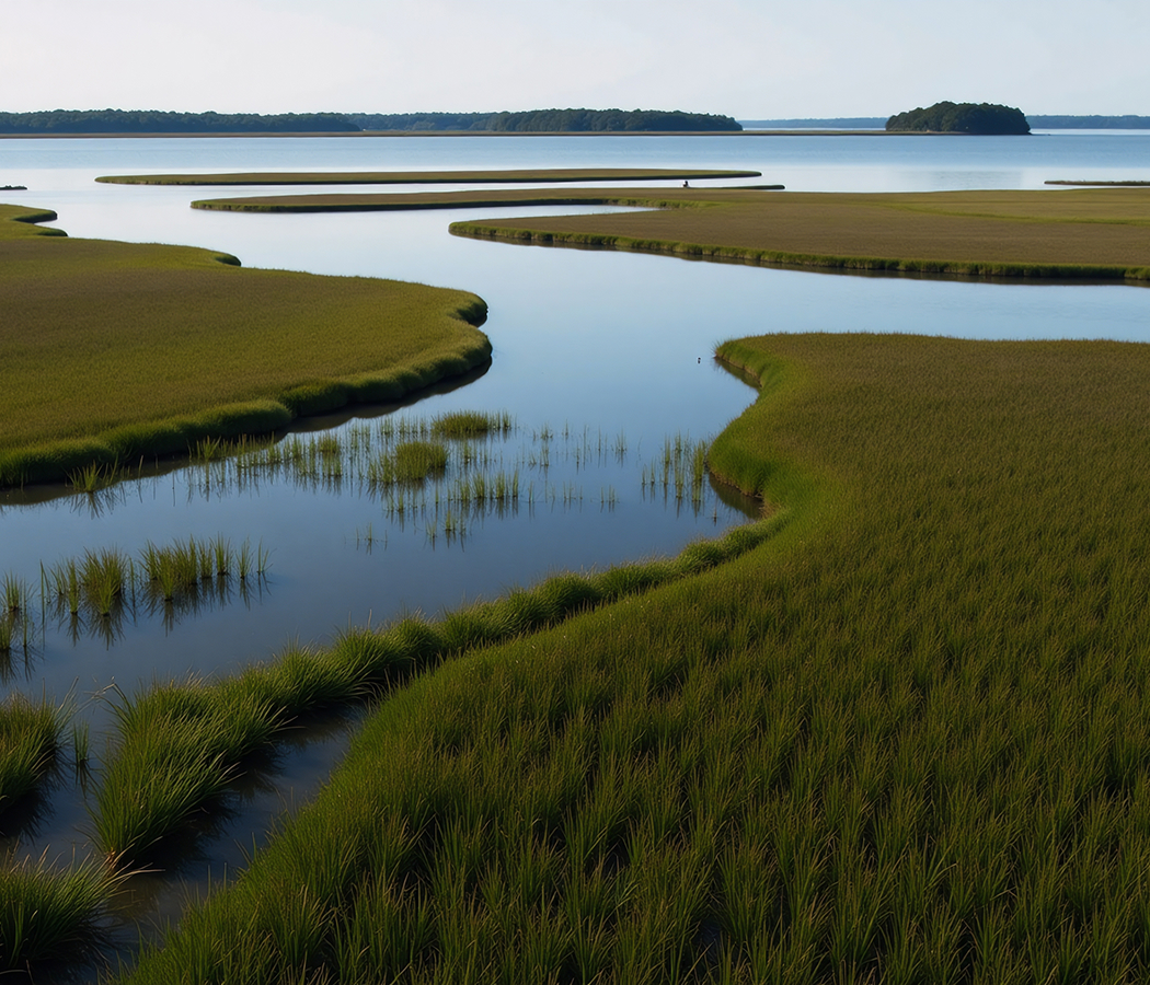
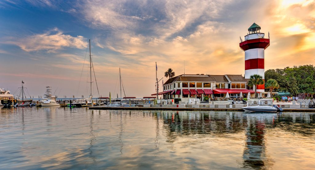
Positioned between Port Royal Sound, Skull Creek and the island's Central Broad Creek watershed, the enclave occupies Hilton Head's broad northern headland, with Fish Haul Creek cutting through tidal marshes along its northeastern shore and the Intracoastal Waterway running beyond Skull Creek toward Pinckney Island. The Atlantic-facing side opens toward Port Royal Sound around Fish Haul Beach, and the island narrows southward toward the resort districts developed during the twentieth century. Mature maritime forest, tidal creeks and broad salt marshes still break the street network into physically distinct pockets, preserving a stronger relationship with the island's underlying coastal terrain than denser development farther south. Historic sites remain embedded among residential communities and commercial corridors, placing centuries of settlement history inside the contemporary northern island. The result is an enclave where tidal geography, surviving archaeological ground and layers of African American, military and plantation history retain an unusually legible presence within modern Hilton Head.
What defines North End.
North End is best known for concentrating some of Hilton Head's oldest and most consequential human history around the protected waters of Port Royal Sound and Skull Creek. Indigenous occupation reaches deep into the island's past, with seasonal Native American presence beginning during the Archaic Period and the Green's Shell Enclosure emerging beside Skull Creek 1335 during the Irene phase of the Mississippian Period. Captain William Hilton entered Port Royal Sound aboard the Adventure in 1663 and gave his surname to the island after observing its headlands near this northern shore. John Bayley received most of Hilton Head as part of a barony in 1698, and maps briefly carried the name Trench's Island after his agent Alexander Trench. John Barnwell became the first English settler in 1717 after receiving 1,000 acres in the area now occupied by Hilton Head Plantation, beginning a plantation period that eventually reorganized much of the island around enslaved agricultural labor. William Elliott successfully cultivated long-staple Sea Island cotton in 1790, helping establish a crop that became central to the island's antebellum economy. Union victory at the Battle of Port Royal on November 7, 1861 abruptly dismantled that order, bringing more than 12,000 troops ashore and turning Hilton Head into a major Federal base commanding the surrounding coast.
Freedom reshaped the northern shore with equal consequence after formerly enslaved people entered Union-held territory from Hilton Head and surrounding parts of the Lowcountry. By late 1862, 1,000 African Americans were living near the military garrison, many in overcrowded barracks, prompting Major General Ormsby Mitchel to direct the creation of a separate town on the former Fish Haul Plantation. Mitchelville developed with streets, individual lots, houses, churches and schools and became the first self-governing town of formerly enslaved African Americans in the United States. An 1868 account described an incorporated community laid out in streets and squares with three churches and two schools, revealing a functioning town built around institutions controlled by people who had entered the Civil War enslaved or displaced by slavery. Archaeological work later recovered 25,000 objects from the site, and the Fish Haul Archaeological Site entered the National Register of Historic Places in 1988. The community's significance reaches beyond a single preserved site: Mitchelville anchors the North End within the broader history of Reconstruction, Black landholding and Gullah Geechee life that continued shaping Hilton Head long after Federal occupation ended.
How North End fits.
North End works as the anchor for a Hilton Head outing connecting Indigenous occupation beside Skull Creek, the colonial and Revolutionary-era community that developed around St. Luke's Parish and a Civil War fortification constructed by Black Union soldiers to defend freedom on the island.
Begin at Green's Shell Enclosure Heritage Preserve, where a shell embankment dating to 1335 preserves evidence of Indigenous occupation centuries before European settlement. Carbon dating of charcoal places the site within the Irene phase between 1300 and 1450, and pottery recovered there carries complicated stamped designs, incising, punctations and appliques associated with the period. The embankment rises a little more than one meter and encloses ground beside Skull Creek; archaeological interpretation has connected its form with a fortified village protected by walls, palisades and ditches. The site entered the National Register of Historic Places in 1974, and the Town of Hilton Head and South Carolina Department of Natural Resources now hold the preserve jointly. Continue to Zion Chapel of Ease and Cemetery, surviving ground from the island's first Episcopal chapel, completed in 1788 after the colonial assembly created St. Luke's Parish in 1767. The cemetery contains graves or memorials for Revolutionary War Patriots Isaac Baldwin, James Davant, John Stoney and Charles Davant, the latter mortally wounded in an ambush by Tory militia. William Baynard constructed the surviving mausoleum in 1846, creating the oldest extant building on Hilton Head; the chapel itself disappeared after abandonment and destruction in 1868. Conclude at Fort Howell, the pentagonal earthwork erected in 1864 specifically to defend nearby Mitchelville against Confederate attack. The 32nd United States Colored Infantry, composed largely of free Black volunteers from Delaware, Maryland and Pennsylvania, began the work after returning to Hilton Head, with the 144th New York Infantry completing construction later that year. Its earthen parapet reached 23 feet and incorporated positions for as many as 27 guns, yet the fort never entered combat and survives with exceptional structural integrity for a Civil War earthwork in South Carolina. The progression moves from a fourteenth-century Indigenous settlement beside Skull Creek through the colonial parish and Revolutionary-era community preserved at Zion Cemetery and culminates at a fort built by Black Union troops to protect Mitchelville, compressing more than five centuries of North End history into three surviving landscapes.
Where your story begins.
Foresyte Travel reveals places that feel extraordinary long before you arrive.
Enjoy editorial crafted for luxury travelers.
Foresyte may earn a commission when you book.