Why Panoramic Gondola matters.
Panoramic Gondola is an aerial mountain lift where Mont-Tremblant Resort's alpine recreation meets the Laurentian Mountains' forested terrain, the engineering of modern cable transport and the transformation of Quebec's highest Laurentian summit into a year-round destination.
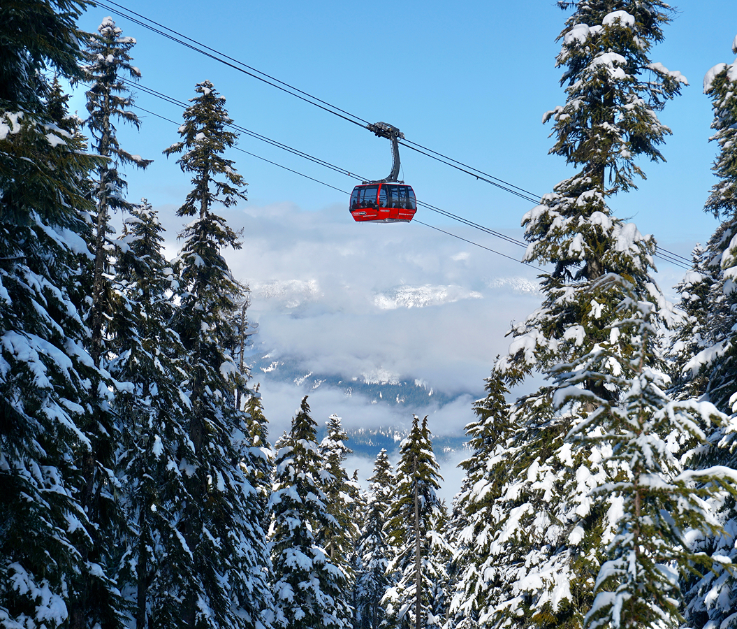
Set along Chemin des Voyageurs near Place Saint-Bernard and just steps from the pedestrian village's upper plaza, the gondola occupies Mont Tremblant's southern mountainside, ascending above the resort's ski slopes toward a summit overlooking Lac Tremblant, the Rivière du Diable valley and the surrounding Laurentian peaks. Enclosed cabins travel above forested slopes and cleared ski runs, revealing successive changes in elevation. The lower terminal integrates with the resort's pedestrian streets and mountain access facilities. The upper station connects with summit paths, observation areas and seasonal recreational routes. The result is a mountain transport system linking the resort's developed base with the natural topography of the Laurentian highlands.
What defines Panoramic Gondola.
Panoramic Gondola is best known for carrying passengers between Mont Tremblant's pedestrian resort village and its 875-meter summit, providing elevated views of the Laurentian Mountains and Lac Tremblant. The lift forms part of the mountain's broader development as an alpine recreation center, a history originating with American entrepreneur Joseph Bondurant Ryan. Ryan encountered the mountain during the 1930s and recognized its potential for organized skiing within reach of Montreal and northeastern American cities. He established the Mont Tremblant ski resort in 1939, introducing lifts and accommodation facilities that supported the development of winter tourism. The mountain's early infrastructure expanded through successive decades as skiing equipment, lift engineering and recreational demand changed. Chairlifts and surface lifts provided access to increasingly extensive networks of ski runs. The introduction of enclosed gondola transport represented an important development in the resort's ability to accommodate passengers across different seasons. The mountain's elevation and substantial vertical relief created opportunities for both alpine skiing and scenic access to the summit. During the 1990s, major investment reshaped the resort's base facilities and introduced a purpose-built pedestrian village. Intrawest's redevelopment program expanded accommodation, commercial services and mountain infrastructure around a coordinated recreational center. The Panoramic Gondola became a principal connection between the village and summit, integrating the mountain's transportation network with its expanding visitor facilities. Its enclosed cabins provided an alternative to exposed chairlifts for passengers traveling to the upper mountain. The lift's operation extended the summit's accessibility beyond the winter skiing season, supporting sightseeing and mountain recreation during warmer months. The gondola became an important component of Mont Tremblant's development as a four-season resort.
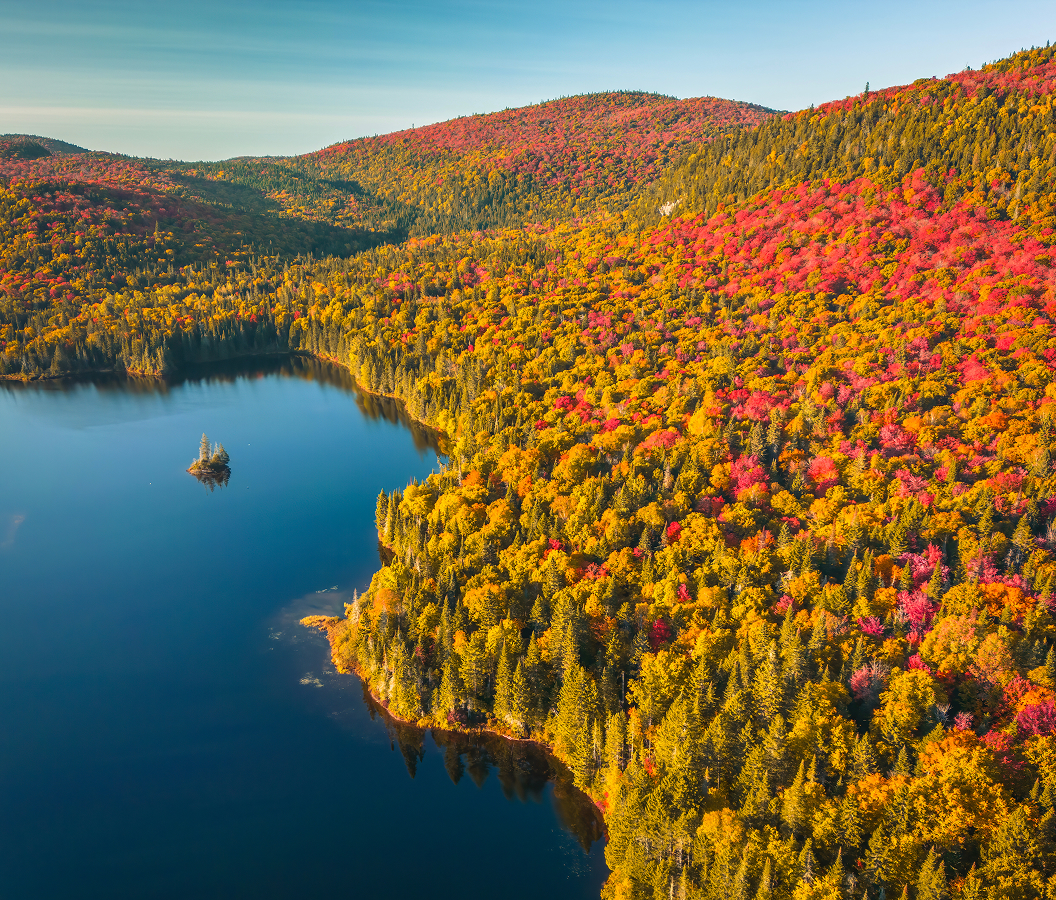
Mont Tremblant's southern slope determines the gondola's ascending route, with the lift traveling above terrain shaped by the Laurentian Mountains' ancient geological history. The mountain belongs to the Grenville geological province, whose underlying rocks formed through tectonic processes extending back more than a billion years. Its forest cover includes deciduous and coniferous species adapted to Quebec's seasonal climate. Gondola cabins are suspended from an overhead cable system supported by towers positioned along the mountainside. The cabins circulate between terminals, allowing passengers to board and disembark through a continuously operating transport arrangement. Large windows provide views across the ski slopes, surrounding forests and developed areas at the mountain's base. The ascent reveals the changing relationship between the resort village and the broader valley as the cabins gain elevation. Lac Tremblant extends along the mountain's southwestern base, occupying a narrow basin bordered by forested slopes. Its elongated shoreline becomes increasingly visible from the upper sections of the route. The summit station provides access to observation areas overlooking the Laurentian landscape. Walking paths connect the upper terminal with additional viewpoints and mountain facilities. During autumn, the surrounding hardwood forests develop extensive displays of red, orange and yellow foliage. Winter conditions expose the mountain's network of groomed ski runs and snow-covered forest corridors. The gondola's operation depends upon weather conditions, including wind and other factors affecting aerial lift safety. Its transport system connects the physical demands of mountain access with the recreational uses of the summit throughout the year.
How Panoramic Gondola fits.
Panoramic Gondola works as the mountain-access centerpiece for a Mont-Tremblant itinerary connecting alpine recreation, lakeside landscapes and the historic settlement patterns of Quebec's Laurentian region.
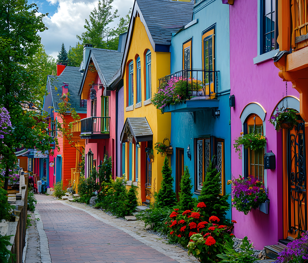
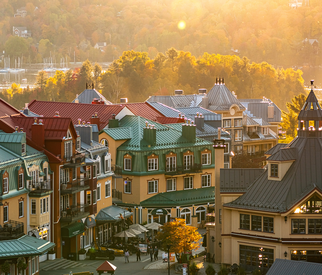
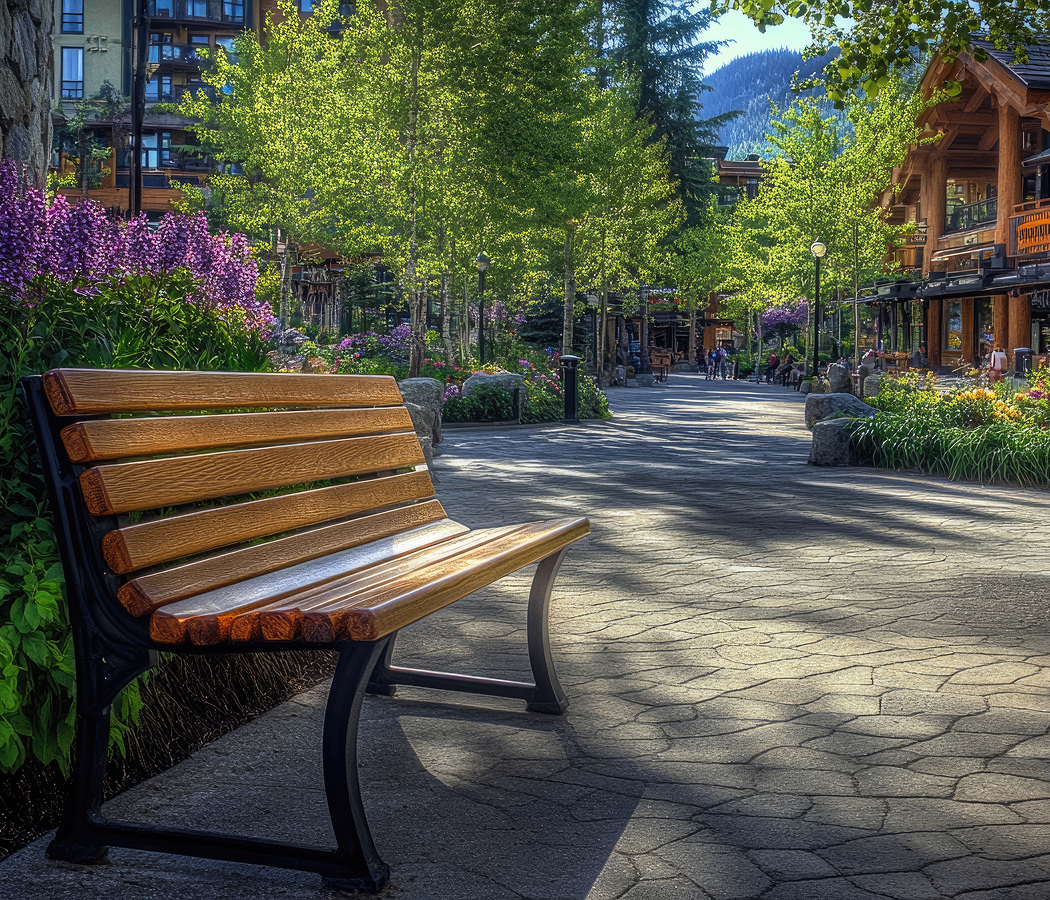
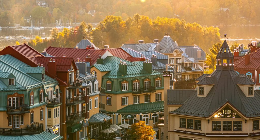
Begin at Mont Tremblant Pedestrian Village, the resort center developed during the major expansion of mountain facilities in the 1990s. Its architecture incorporates Quebec-inspired building forms, including pitched roofs, painted façades and compact streets organized around public squares. The village contains accommodation, restaurants, shops and recreational services serving the surrounding mountain. Its pedestrian arrangement separates much of the central commercial district from automobile traffic. A smaller transport lift connects the lower and upper portions of the settlement, accommodating the substantial change in elevation across the base area. The village demonstrates the resort's transition from an early ski destination into a coordinated recreational development. Continue to Lac Tremblant, the elongated mountain lake extending along the southwestern side of Mont Tremblant. Its shoreline occupies a glacially shaped valley surrounded by forested hills and residential properties. The lake supports seasonal boating, swimming and other recreational activities associated with the region's summer tourism. Public access points and waterfront facilities connect the resort area with the water. The surrounding slopes reveal the relationship between the Laurentians' geological structure and the development of lakes within mountain valleys. Its recreational history predates the modern resort's expansion, connecting the region with earlier traditions of fishing, seasonal cottages and lakeside holidays. Conclude at Mont-Tremblant Old Village, the historic settlement near Lac Mercier that developed through nineteenth-century colonization and the expansion of railway transportation into the Laurentians. The former railway corridor became part of P'tit Train du Nord, a recreational trail extending through the region's towns, forests and river valleys. The village's streets contain timber houses, cottages and commercial buildings associated with its residential and recreational history. Parc Plage provides access to Lac Mercier through a public beach and landscaped waterfront grounds. The settlement preserves a distinct historical character associated with the period preceding the construction of the mountain's modern pedestrian resort. The progression moves from purpose-built alpine recreation through a Laurentian mountain lake and culminates at a historic village settlement, connecting Panoramic Gondola with the geographical and recreational development of Mont-Tremblant.
Where your story begins.
Foresyte Travel reveals places that feel extraordinary long before you arrive.
Enjoy editorial crafted for luxury travelers.
Foresyte may earn a commission when you book.