Why Sea Island Parkway matters.
Sea Island Parkway is a scenic corridor where Lady's Island's Sea Islands heritage, tidal waterways, Gullah culture, and centuries of coastal history continue guiding travelers toward the heart of the Lowcountry.
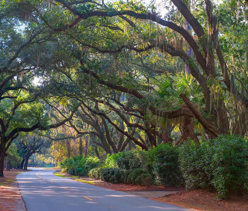
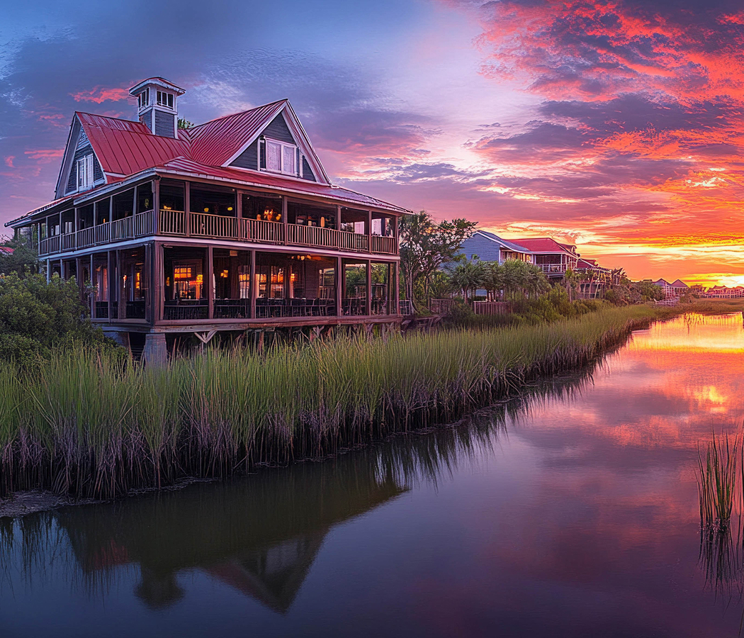
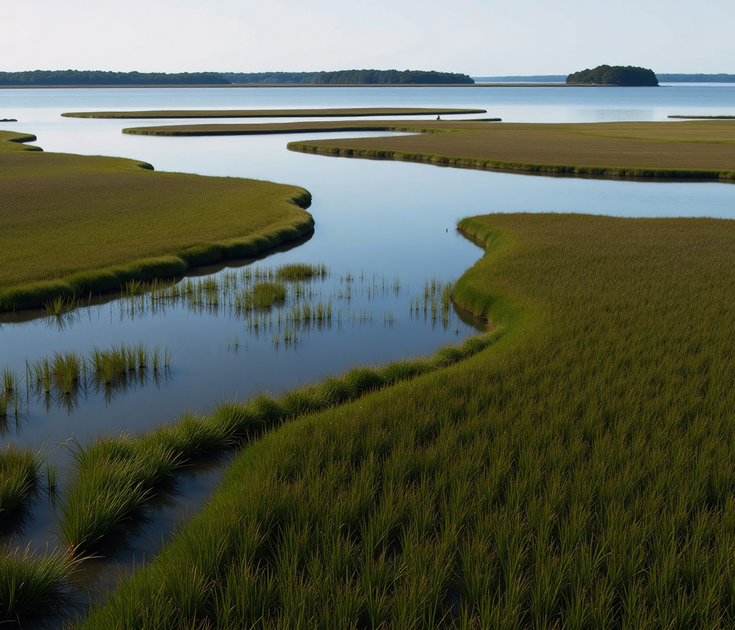
Running through Lady's Island between Downtown Beaufort and St. Helena Island, this coastal corridor crosses broad salt marshes, tidal creeks, and maritime forests while linking historic communities, working waterfronts, farms, churches, and waterfront landscapes that have shaped Beaufort County for generations. Long views across the Beaufort River and Chowan Creek reveal an environment where transportation follows the natural geography of the Sea Islands. The result is a corridor where history, culture, and coastal ecology remain inseparable.
What defines Sea Island Parkway.
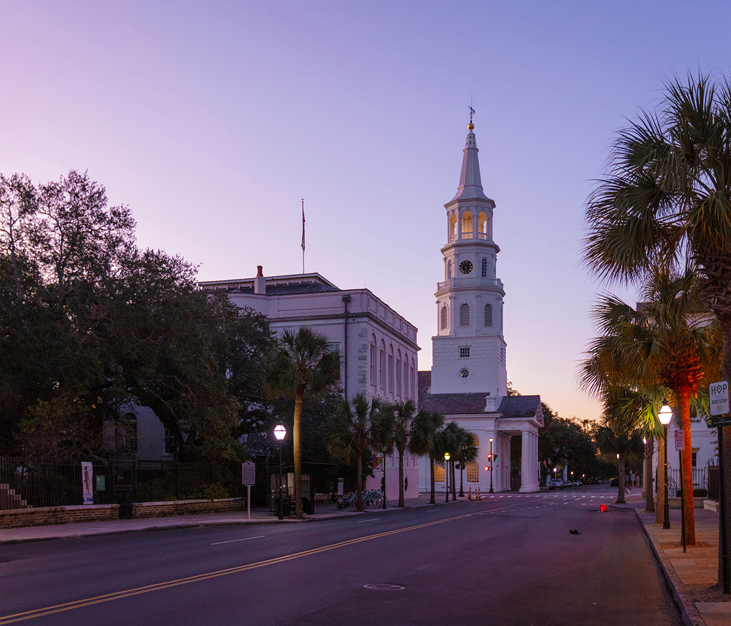
Sea Island Parkway forms the principal alignment of U.S. Highway 21 east of Beaufort, carrying travelers across Lady's Island before continuing through St. Helena Island toward Hunting Island State Park, among South Carolina's most visited state parks. The modern corridor expanded during the twentieth century as successive bridge projects, including the Woods Memorial Bridge completed in 1951, strengthened transportation between Beaufort and the Sea Islands while replacing earlier ferry connections that had served the region for centuries. Stretching through landscapes shaped by Indigenous communities, seventeenth-century English settlement, plantation agriculture centered on Sea Island cotton, indigo, and rice, and the Civil War-era Port Royal Experiment beginning in 1861, the parkway provides direct access to Penn Center, founded in 1862 as one of the nation's first schools for formerly enslaved people, the Reconstruction Era National Historical Park, historic St. Helena Church, and Hunting Island State Park. Designated as part of the Gullah Geechee Cultural Heritage Corridor, Sea Island Parkway also traverses extensive salt marshes, tidal estuaries, maritime forests, and working agricultural lands that continue preserving the cultural and environmental character of the South Carolina Lowcountry.
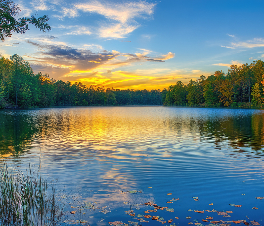
Centuries-old churches, family-owned seafood businesses, shrimp docks, roadside produce stands, and waterfront communities line the route as it passes through landscapes that remain deeply connected to Gullah traditions and the rhythms of the surrounding estuary. Broad marsh vistas support herons, egrets, roseate spoonbills, bald eagles, bottlenose dolphins, and countless migratory birds, while winding tidal creeks reveal one of the largest intact salt marsh ecosystems on the Atlantic coast. Historic institutions, protected coastal habitats, and enduring agricultural traditions continue reinforcing the parkway as one of South Carolina's most culturally significant scenic drives.
How Sea Island Parkway fits.
Sea Island Parkway works as a journey through Beaufort County's history, coastal landscapes, and Sea Islands communities.
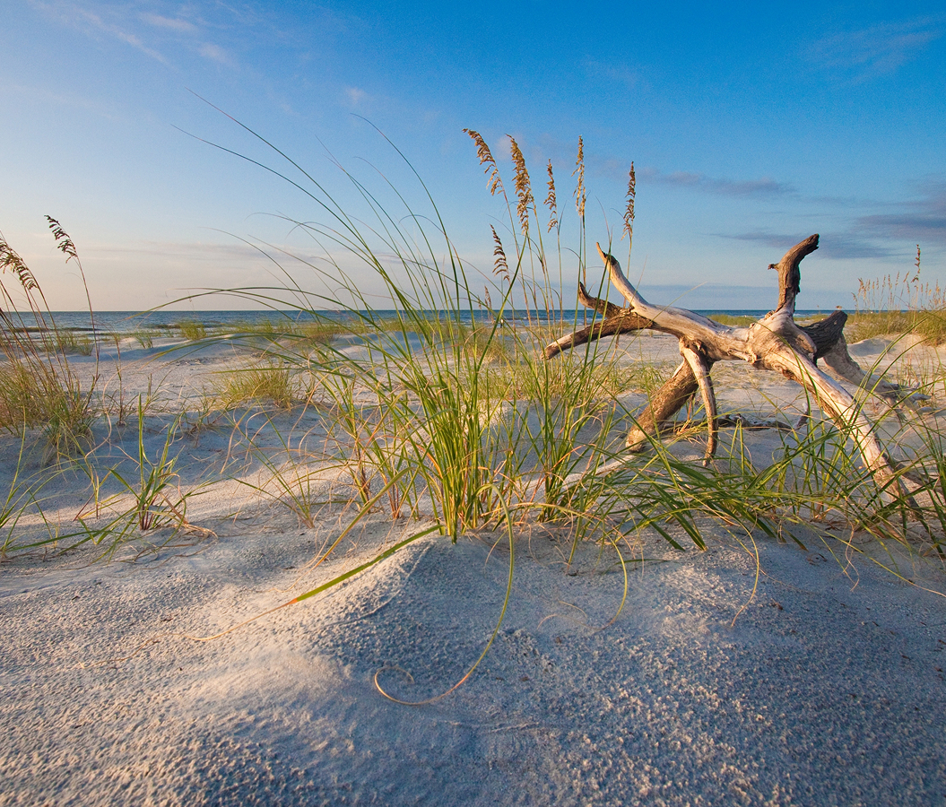
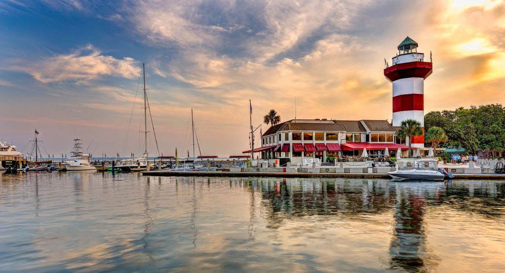
Begin at Penn Center, where exhibits and preserved buildings interpret Gullah history, Reconstruction, and African American education before continuing east along the parkway. Continue to Historic St. Helena Church, whose eighteenth-century sanctuary reflects centuries of worship and community life in the Sea Islands. Conclude at Hunting Island State Park, where maritime forests, a historic lighthouse, and expansive Atlantic beaches provide a memorable conclusion to one of the Lowcountry's most scenic coastal routes. The progression moves naturally from cultural history to colonial heritage before concluding among the barrier-island landscapes that define South Carolina's coast.
Where your story begins.
Foresyte Travel reveals places that feel extraordinary long before you arrive.
Enjoy editorial crafted for luxury travelers.
Foresyte may earn a commission when you book.