Why Stanley Park matters.
Stanley Park is a forested coastal peninsula where Vancouver's Pacific shoreline meets the ancestral territories of the Coast Salish peoples, the preservation of temperate rainforest within a major Canadian city and the development of one of North America's largest urban waterfront parks.
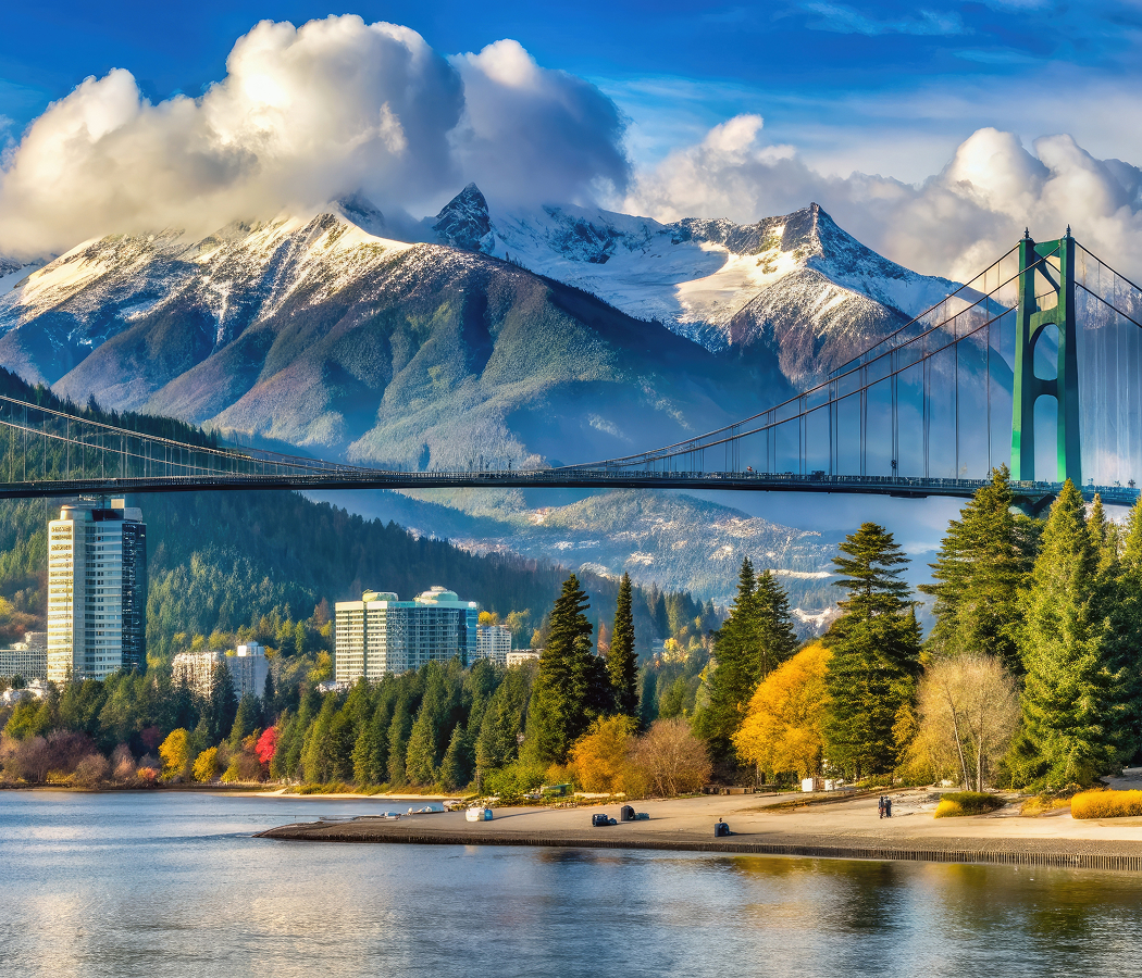
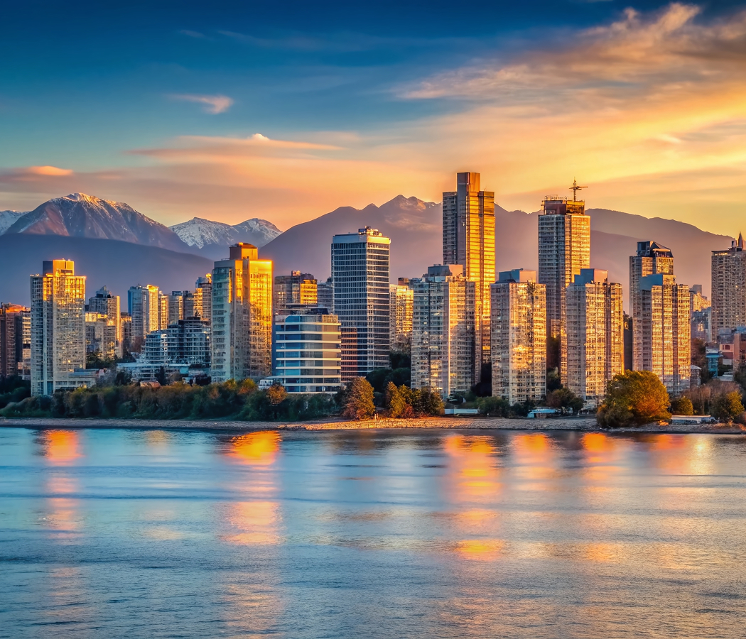
Extending northwest of West Georgia Street near Denman Street and a short walk from the West End, the park occupies a peninsula between Burrard Inlet and English Bay, with its forested interior rising above the shoreline and the Lions Gate Bridge crossing the First Narrows at its northern edge. A continuous seawall follows the peninsula's rocky perimeter, connecting beaches, tidal flats and waterfront viewpoints. Dense stands of western red cedar, Douglas fir and western hemlock occupy much of the interior. Roads, walking trails and cycling routes connect the forest with recreational facilities and historic sites. The result is a coastal park whose geography preserves the relationship between Vancouver's urban development, Indigenous settlement and the natural environments of the Pacific Northwest.
What defines Stanley Park.
Stanley Park is best known for its extensive coastal forest, waterfront seawall and historical significance as one of Vancouver's principal public parks. The peninsula formed part of the ancestral territories of the Musqueam, Squamish and Tsleil-Waututh peoples, whose communities maintained longstanding relationships with the surrounding waterways, forests and coastal resources. Indigenous settlements occupied portions of the peninsula before the establishment of Vancouver, including the community of X̱wáýx̱way near the western shoreline. The area supported fishing, gathering and other activities connected with the marine environments of Burrard Inlet and English Bay. European colonial expansion during the nineteenth century brought major changes to land ownership, settlement and the use of the surrounding territory. In 1859, the British colonial government designated the peninsula as a military reserve, anticipating the strategic importance of the harbor entrance. The reserve remained largely undeveloped as Vancouver expanded through the arrival of the Canadian Pacific Railway and the growth of the port economy. Following the city's incorporation in 1886, municipal leaders sought to establish a major public park on the peninsula. The federal government granted Vancouver permission to use the reserve as a park in 1887. Stanley Park officially opened in 1888 and was named for Lord Stanley of Preston, Canada's governor general. The park's early development included carriage roads, landscaped recreational areas and facilities intended to accommodate the growing city's population. Construction of the seawall began in 1917 under the supervision of master stonemason James Cunningham, who devoted decades to the project. The wall's construction required substantial engineering work along the peninsula's rocky shoreline, protecting the waterfront from erosion and creating a continuous public route. Subsequent extensions connected the original sections into a circuit around the park. The development of recreational facilities, gardens and cultural attractions expanded the park's public functions during the twentieth century. Major windstorms, including the December 2006 storm, damaged substantial areas of the forest and prompted extensive restoration work. Stanley Park remains an important component of Vancouver's urban landscape, preserving coastal ecosystems alongside recreational and cultural institutions.
James Cunningham's seawall project established a continuous waterfront route that follows the changing shoreline of the peninsula. The Stanley Park Seawall extends nine kilometers around the park, incorporating pedestrian and cycling routes along the water's edge. Its alignment passes rocky headlands, sandy beaches and tidal areas where the character of the shoreline changes with exposure to Burrard Inlet and English Bay. The route provides views toward the North Shore Mountains, the harbor entrance and the surrounding metropolitan waterfront. Siwash Rock rises offshore near the western side of the peninsula, forming a volcanic rock outcrop associated with Squamish cultural traditions. The park's interior contains extensive temperate rainforest, including mature conifers and understory vegetation adapted to the region's coastal climate. Walking trails pass through forested valleys and elevated areas where fallen trees, nurse logs and regenerating vegetation contribute to the woodland ecosystem. Beaver Lake occupies a freshwater basin within the interior, supporting aquatic plants and wildlife associated with wetland habitats. Lost Lagoon lies near the southeastern entrance, forming a sheltered waterbody bordered by walking paths and landscaped parkland. The Vancouver Aquarium occupies a site within the park and has played a major role in marine education, conservation and public engagement with Pacific coastal ecosystems. The park's totem pole collection at Brockton Point includes carved works representing Indigenous artistic traditions of the Pacific Northwest Coast. Prospect Point occupies an elevated position near the northern shoreline, providing views of the harbor entrance and the bridge crossing above it. Third Beach and Second Beach form important recreational areas along the western and southern waterfront. The park's road network connects these destinations through a landscape combining managed recreational spaces with substantial areas of forest. Its physical arrangement preserves the coexistence of coastal ecology, Indigenous cultural heritage and public recreation within the boundaries of a major Canadian city.
How Stanley Park fits.
Stanley Park works as the natural centerpiece for a Vancouver itinerary connecting the city's coastal recreation, maritime infrastructure and the cultural institutions developed along the southern shore of Burrard Inlet.
Begin at English Bay Beach, the waterfront recreation area situated along the southern edge of Vancouver's West End. The beach occupies a sheltered section of English Bay and has long served as a principal public gathering place for swimming, walking and waterfront recreation. Its surrounding parkland connects the residential streets of the West End with the shoreline. The beach became associated with Vancouver's early recreational development as the city expanded westward during the late nineteenth and early twentieth centuries. Public art, landscaped paths and views across the bay establish its relationship with the surrounding coastal environment. Continue to Lions Gate Bridge, the suspension bridge connecting Vancouver with the North Shore across the First Narrows. Opened in 1938, the bridge was developed through investment associated with the Guinness family and the expansion of residential communities north of Burrard Inlet. Its suspension structure incorporates two principal towers and a roadway elevated above the harbor entrance. The bridge became a major transportation connection between Vancouver, West Vancouver and North Vancouver. Its green-painted steelwork and expansive entrance sculptures contribute to its distinctive architectural appearance. The crossing provides views of the surrounding mountains and the commercial shipping channel below. Conclude at Vancouver Maritime Museum, the waterfront institution situated in Vanier Park near False Creek. Established in 1959, the museum preserves objects and vessels associated with the maritime history of the Pacific Northwest and the Canadian Arctic. Its principal exhibit includes the St. Roch, a Royal Canadian Mounted Police schooner that completed the Northwest Passage during the twentieth century. The vessel's voyages contributed to the history of Arctic navigation and Canadian maritime exploration. The museum's collections include navigational instruments, ship models and artifacts associated with regional maritime commerce. The progression moves from coastal recreation through major harbor infrastructure and culminates in maritime exploration history, connecting Stanley Park with Vancouver's relationship to the Pacific Ocean and Canada's northern waterways.
Where your story begins.
Foresyte Travel reveals places that feel extraordinary long before you arrive.
Enjoy editorial crafted for luxury travelers.
Foresyte may earn a commission when you book.